Coed yr Odyn

Wood, Forest in Flintshire

Wales

Coed yr Odyn

A541 near Nannerch The A541 runs for 26 miles, linking St Asaph with Wrexham. Its northern end starts at the crossroads in the middle of the village of Trefnant (just south of St Asaph). It ends at Wrexham, where it joins the B5101 road. On the way, it passes the town of Mold and also passes through many villages.
A541 near Nannerch Credit: David Dixon

Coed yr Odyn is a picturesque woodland located in Flintshire, Wales. Spanning an area of approximately 120 acres, it is a popular destination for nature enthusiasts and outdoor adventurers alike. The name "Coed yr Odyn" translates to "Wood, Forest" in English, which aptly describes the landscape of this stunning location.

The woodland is characterized by its diverse range of tree species, including oak, birch, beech, and pine. These majestic trees create a dense canopy, providing a serene and peaceful atmosphere for visitors to enjoy. The forest floor is covered in a lush carpet of ferns, mosses, and wildflowers, adding to the natural beauty of the area.

Coed yr Odyn is home to a variety of wildlife, making it a haven for birdwatchers and animal lovers. Visitors may spot species such as buzzards, woodpeckers, and owls, as well as mammals like foxes, badgers, and deer. The woodland also features a tranquil stream, adding to the overall charm and tranquility of the surroundings.

The woodland offers a network of well-maintained footpaths, allowing visitors to explore the area on foot or by bike. There are also picnic areas dotted throughout the woodland, providing the perfect spot to relax and enjoy a packed lunch amidst the natural beauty.

Overall, Coed yr Odyn is a captivating woodland that offers a peaceful retreat from the hustle and bustle of everyday life. Its diverse range of flora and fauna, coupled with its well-maintained trails, make it a must-visit destination for nature lovers and those seeking a tranquil escape in Flintshire.

If you have any feedback on the listing, please let us know in the comments section below.
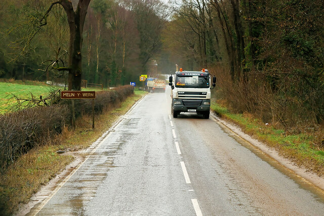
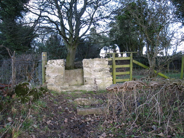
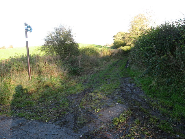
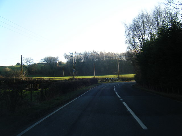
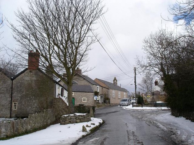
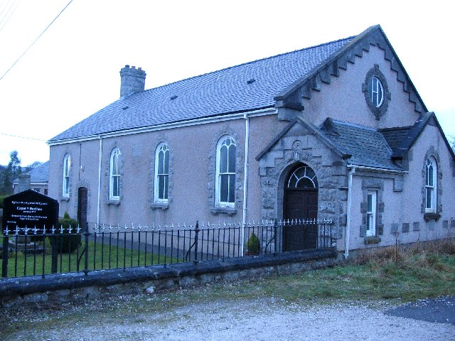
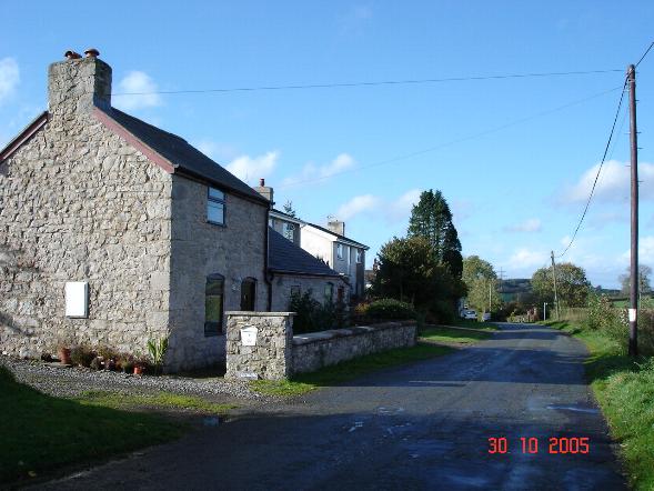
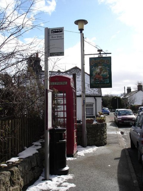
Coed yr Odyn Images

Images are sourced within 2km of 53.230065/-3.2605523 or Grid Reference SJ1571. Thanks to Geograph Open Source API. All images are credited.

A541 near Nannerch The A541 runs for 26 miles, linking St Asaph with Wrexham. Its northern end starts at the crossroads in the middle of the village of Trefnant (just south of St Asaph). It ends at Wrexham, where it joins the B5101 road. On the way, it passes the town of Mold and also passes through many villages.
A541 near Nannerch
The A541 runs for 26 miles, linking St Asaph with Wrexham. Its northern end starts at the crossroads in the middle of the village of Trefnant (just south of St Asaph). It ends at Wrexham, where it joins the B5101 road. On the way, it passes the town of Mold and also passes through many villages.
Truck on the A541 DG Roberts' Volvo FM (SA13 DAY) passing a layby on the A541 near to Ysceifiog.
Truck on the A541
DG Roberts' Volvo FM (SA13 DAY) passing a layby on the A541 near to Ysceifiog.
Afonwen, Denbigh Road (A541) The A541 runs for 26 miles, linking St Asaph with Wrexham. Its northern end starts at the crossroads in the middle of the village of Trefnant (just south of St Asaph). It ends at Wrexham, where it joins the B5101 road. On the way, it passes the town of Mold and also passes through many villages.
Afonwen, Denbigh Road (A541)
The A541 runs for 26 miles, linking St Asaph with Wrexham. Its northern end starts at the crossroads in the middle of the village of Trefnant (just south of St Asaph). It ends at Wrexham, where it joins the B5101 road. On the way, it passes the town of Mold and also passes through many villages.
A541 near Swan Wood The A541 runs for 26 miles, linking St Asaph with Wrexham. Its northern end starts at the crossroads in the middle of the village of Trefnant (just south of St Asaph). It ends at Wrexham, where it joins the B5101 road. On the way, it passes the town of Mold and also passes through many villages.
A541 near Swan Wood
The A541 runs for 26 miles, linking St Asaph with Wrexham. Its northern end starts at the crossroads in the middle of the village of Trefnant (just south of St Asaph). It ends at Wrexham, where it joins the B5101 road. On the way, it passes the town of Mold and also passes through many villages.
A541, Melin y Wern The A541 runs for 26 miles, linking St Asaph with Wrexham. Its northern end starts at the crossroads in the middle of the village of Trefnant (just south of St Asaph). It ends at Wrexham, where it joins the B5101 road. On the way, it passes the town of Mold and also passes through many villages.
A541, Melin y Wern
The A541 runs for 26 miles, linking St Asaph with Wrexham. Its northern end starts at the crossroads in the middle of the village of Trefnant (just south of St Asaph). It ends at Wrexham, where it joins the B5101 road. On the way, it passes the town of Mold and also passes through many villages.
The Old Mill at Melin y Wern The large, three-storey building set back from the road is a late-Georgian, former mill. It is now used as self-catering holiday accommodation. Grade II-listed (Cadw reference: 529 <span class="nowrap"><a title="http://cadwpublic-api.azurewebsites.net/reports/listedbuilding/FullReport?lang=en&id=529" rel="nofollow ugc noopener" href="http://cadwpublic-api.azurewebsites.net/reports/listedbuilding/FullReport?lang=en&id=529">Link</a><img style="margin-left:2px;" alt="External link" title="External link - shift click to open in new window" src="https://s1.geograph.org.uk/img/external.png" width="10" height="10"/></span> ).
The Old Mill at Melin y Wern
The large, three-storey building set back from the road is a late-Georgian, former mill. It is now used as self-catering holiday accommodation. Grade II-listed (Cadw reference: 529 LinkExternal link ).
Vintage Bentley In British racing green livery. Parked across the road from the Fox Inn, Ysceifiog.
Vintage Bentley
In British racing green livery. Parked across the road from the Fox Inn, Ysceifiog.
Lixwm village shop Located in the car park of the Crown Inn in what appears to be a former garage.
Lixwm village shop
Located in the car park of the Crown Inn in what appears to be a former garage.
A541 looking east
A541 looking east
A541 near Sarn Farm
A541 near Sarn Farm
A541 looking east
A541 looking east
Stone stile On a footpath from a minor lane near Ash Farm.  There are several of these stiles recently built in this traditional style through the boundaries between fields on this route
Stone stile
On a footpath from a minor lane near Ash Farm. There are several of these stiles recently built in this traditional style through the boundaries between fields on this route
Bridleway from Ysceifiog Where it crosses a minor lane near Ash Farm, heading east through fields towards a road between Lixwm and Brynford
Bridleway from Ysceifiog
Where it crosses a minor lane near Ash Farm, heading east through fields towards a road between Lixwm and Brynford
Enclosed path Heading south east between fields from the junction of a footpath west of Lixwm
Enclosed path
Heading south east between fields from the junction of a footpath west of Lixwm
Footpath heading towards Coed-y-Llan wood A diversion through the edge of the more recently extended graveyard beside St Mary's Church, Ysceifiog.  The Clwydian Hills can be seen in the distance on the right
Footpath heading towards Coed-y-Llan wood
A diversion through the edge of the more recently extended graveyard beside St Mary's Church, Ysceifiog. The Clwydian Hills can be seen in the distance on the right
Plas Coch (Red Mansion) From the public footpath - the house is white nowadays.
Plas Coch (Red Mansion)
From the public footpath - the house is white nowadays.
Barn at Plas Coch Taken from the public footpath
Barn at Plas Coch
Taken from the public footpath
A541 near Nannerch
A541 near Nannerch
Show me another place!

Coed yr Odyn is located at Grid Ref: SJ1571 (Lat: 53.230065, Lng: -3.2605523)

Unitary Authority: Flintshire

Police Authority: North Wales

What 3 Words

///joggers.quilting.deprive. Near Halkyn, Flintshire

Related Wikis

Ysceifiog

Ysceifiog, also spelled as Ysgeifiog, is a village, community and parish in Flintshire, Wales. It lies on a back road just north of the A541 highway between...

Lixwm

Licswm is a small village in Flintshire, Wales. It is part of the community of Ysceifiog. Licswm was formerly a mining village, and one explanation of...

Babell

Babell is a hamlet in Flintshire, Wales. It is part of the community of Ysgeifiog. The hamlet takes its name from the Babell Methodist chapel, built in...

Nannerch

Nannerch is a village and community in Flintshire, Wales, located within the Clwydian Range and Dee Valley Area of Outstanding Natural Beauty. At the 2001...

Ddol Uchaf

Ddol Uchaf (also known as Y Ddol Uchaf) is a Site of Special Scientific Interest located near Ysceifiog, Flintshire, Wales. It has been selected as an...

Mold and Denbigh Junction Railway

The Mold and Denbigh Junction Railway was a railway company that built a 16-mile (26 km) railway line in North Wales. It formed a link between the Mold...

Nannerch railway station

Nannerch railway station was a station in Nannerch, Flintshire, Wales. The station was opened on 6 September 1869 and closed on 30 April 1962. == References... ==

Penbedw

Penbedw is a country estate near Nannerch, Flintshire, Wales. Penbedw Hall was demolished by developers some time after 1969.Its parks and gardens are...

Nearby Amenities

Located within 500m of 53.230065,-3.2605523
Power: pole
Lat/Long: 53.2276975/-3.2570334
Power: pole
Lat/Long: 53.2271524/-3.2594554
Power: pole
Lat/Long: 53.2274249/-3.2582444
Power: pole
Lat/Long: 53.2279599/-3.2558881
Power: pole
Lat/Long: 53.2281262/-3.2551292
Power: pole
Lat/Long: 53.2288517/-3.255232
Power: pole
Lat/Long: 53.2294639/-3.2553207
Power: pole
Lat/Long: 53.2298469/-3.2558601
Power: pole
Lat/Long: 53.2302648/-3.2564462
Power: pole
Lat/Long: 53.2307135/-3.2572868
Power: pole
Lat/Long: 53.2311789/-3.2581647
Power: pole
Lat/Long: 53.2316513/-3.2590497
Power: pole
Lat/Long: 53.2321936/-3.2600631
Power: pole
Lat/Long: 53.232708/-3.2610274
Power: pole
Lat/Long: 53.2333341/-3.2622136
Power: pole
Lat/Long: 53.2338736/-3.2632107
Power: pole
Lat/Long: 53.2296148/-3.2543428
Power: pole
Lat/Long: 53.2298022/-3.2532228
Power: pole
Lat/Long: 53.2270083/-3.2600966
Power: pole
Lat/Long: 53.2266267/-3.2604118
Iron Mine
Disused: yes
Place: locality
Lat/Long: 53.2286418/-3.257753
The data included in this document is from www.openstreetmap.org. The data is made available under ODbL.

Have you been to Coed yr Odyn?

Leave your review of Coed yr Odyn below (or comments, questions and feedback).