Cloddiau Wood
Wood, Forest in Montgomeryshire
Wales
Cloddiau Wood

Cloddiau Wood is a picturesque woodland located in the county of Montgomeryshire, Wales. Covering an area of approximately 200 hectares, it is nestled within the rolling hills and valleys of the Welsh countryside. The wood is situated about 5 miles west of the town of Welshpool and is easily accessible by both car and foot.
The woodland is predominantly made up of broadleaf trees, including oak, beech, and ash, which create a vibrant and diverse ecosystem. These trees provide a dense canopy, creating a shaded and tranquil environment. The forest floor is covered with a rich layer of leaf litter, providing a habitat for a variety of plant species and small animals.
Cloddiau Wood is a haven for wildlife enthusiasts, as it is home to a wide range of animal species. Visitors may spot red squirrels, badgers, and foxes, as well as numerous bird species such as woodpeckers and owls. The wood also boasts a diverse range of flora, with bluebells carpeting the forest floor in spring and a variety of fungi species appearing during the autumn months.
The woodland offers several walking trails, providing visitors with the opportunity to explore its natural beauty at their own pace. These trails wind through the trees, offering stunning vistas of the surrounding countryside. There are also picnic areas and benches scattered throughout the wood, allowing visitors to relax and enjoy the peaceful atmosphere.
Overall, Cloddiau Wood is a charming and enchanting woodland, offering a serene escape from the hustle and bustle of everyday life. Whether it's for a leisurely stroll, birdwatching, or simply to enjoy the beauty of nature, this forest has something to offer for everyone.
If you have any feedback on the listing, please let us know in the comments section below.
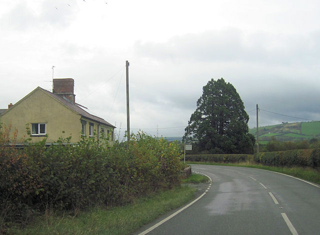
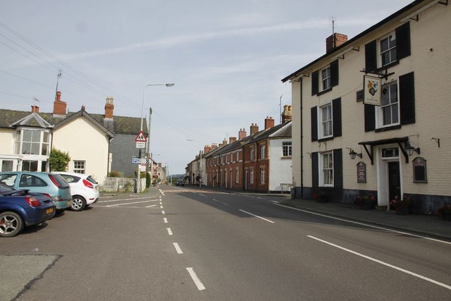
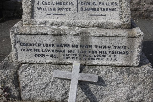
Cloddiau Wood Images
Images are sourced within 2km of 52.515843/-3.2416286 or Grid Reference SO1591. Thanks to Geograph Open Source API. All images are credited.


Cloddiau Wood is located at Grid Ref: SO1591 (Lat: 52.515843, Lng: -3.2416286)
Unitary Authority: Powys
Police Authority: Dyfed Powys
What 3 Words
///latches.widget.workbook. Near Newtown, Powys
Nearby Locations
Related Wikis

Llanmerewig
Llanmerewig is a historic parish in Powys, Wales, in the historic county of Montgomeryshire, and is situated between Newtown and Welshpool. The church...

Kerry railway station
Kerry railway station was a station in Glanmule, Powys, Wales. The station was opened in July 1863, closed to passengers on 9 February 1931 and closed...

Glanmule
Glanmule (Welsh: Glan-miwl) is a small village in the north of Powys, Wales. It is located in Montgomeryshire, approximately 2.5 miles to the east of Newtown...
Goitre Halt railway station
Goitre Halt railway station was a station in Llanmerewig, Powys, Wales. The station was opened on 9 July 1923 and closed on 9 February 1931. The halt was...
Ffronfraith Halt railway station
Ffronfraith Halt railway station was a station in Llanmerewig, Powys, Wales. The station was opened on 9 July 1923 and closed on 9 February 1931. It had...

St Michael and All Angels Church, Kerry
St Michael's Church is the parish church of Kerry, in the historic county of Montgomeryshire, now Powys. Kerry is sited about 3 miles to the S E of Newtown...
Kerry F.C. (Wales)
Kerry Football Club is a Welsh football team based in the village of Kerry, Powys, Wales. They play in the Central Wales Northern Division, which is in...
Kerry, Powys
Kerry (Welsh: Ceri) is a village and geographically large community in Montgomeryshire, Powys, Wales. The village lies on the A489 road 2.8 miles (4.5...
Nearby Amenities
Located within 500m of 52.515843,-3.2416286Have you been to Cloddiau Wood?
Leave your review of Cloddiau Wood below (or comments, questions and feedback).