Black Wood

Wood, Forest in Montgomeryshire

Wales

Black Wood

Field with barn Near Faenor Uchaf.
Field with barn Credit: John H Darch

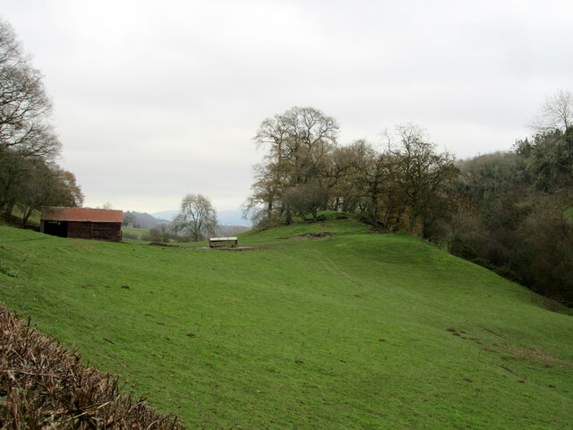
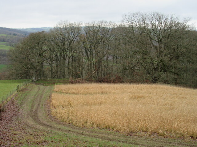
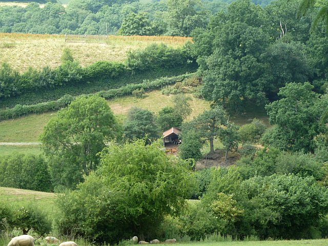
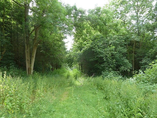
Black Wood, Montgomeryshire (Wood, Forest) is a picturesque woodland located in the county of Montgomeryshire, Wales. Nestled in the heart of the stunning Welsh countryside, this forest covers an area of approximately 500 acres, making it a significant natural habitat and a popular destination for nature enthusiasts and outdoor enthusiasts alike.

The forest is characterized by its dense canopy of predominantly oak and beech trees, which provide a rich and diverse ecosystem for a wide variety of flora and fauna. The woodland floor is covered in a thick carpet of ferns, mosses, and wildflowers, adding to the enchanting beauty of the area. The forest is also intersected by several babbling streams and small rivers, further enhancing its natural charm.

Black Wood is a haven for wildlife, with many species calling it home. Visitors may catch glimpses of squirrels, badgers, foxes, and a myriad of bird species, including woodpeckers, owls, and various songbirds. The forest is also known for its population of red kites, which can often be seen soaring overhead.

The woodland provides a tranquil escape for those seeking respite from the hustle and bustle of everyday life. It offers countless opportunities for outdoor activities such as hiking, birdwatching, and nature photography. Several well-maintained trails crisscross the forest, allowing visitors to explore its beauty at their own pace.

Black Wood, Montgomeryshire is a cherished natural gem, offering a serene and captivating experience for all those who venture into its depths.

If you have any feedback on the listing, please let us know in the comments section below.

Black Wood Images

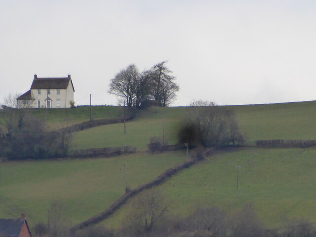
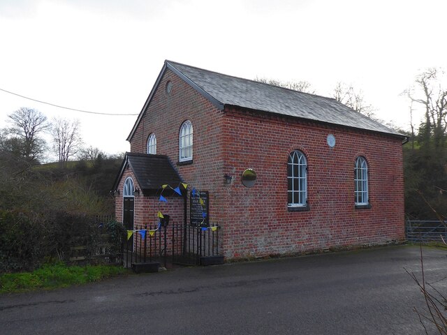
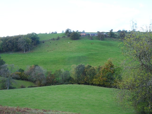
Images are sourced within 2km of 52.582941/-3.2448232 or Grid Reference SO1599. Thanks to Geograph Open Source API. All images are credited.

Field with barn Near Faenor Uchaf.
Field with barn
Near Faenor Uchaf.
Winter field and woodland
Garden at Chapel Crafts Chapel Crafts had an open weekend on 20 & 21 July 2013 and I was invited to view the garden.
Chapel Crafts is housed in a converted chapel at Faenor Uchaf and hold art and craft workshops.
Garden at Chapel Crafts
Chapel Crafts had an open weekend on 20 & 21 July 2013 and I was invited to view the garden. Chapel Crafts is housed in a converted chapel at Faenor Uchaf and hold art and craft workshops.
Outbuildings at New House Seen from the road through Cefn-y-Vaynor Plantation.
Outbuildings at New House
Seen from the road through Cefn-y-Vaynor Plantation.
Some shade for the cattle Seen from the road through Cefn-y-Vaynor Plantation.
Some shade for the cattle
Seen from the road through Cefn-y-Vaynor Plantation.
Sheep seeking shade On an unusually hot summer day below Cefn-y-Vaynor Plantation.
Sheep seeking shade
On an unusually hot summer day below Cefn-y-Vaynor Plantation.
Panting lamb On an unusually hot summer day below Cefn-y-Vaynor Plantation.
Panting lamb
On an unusually hot summer day below Cefn-y-Vaynor Plantation.
Track into Cefn-y-Vaynor Plantation Viewed from the east.
Track into Cefn-y-Vaynor Plantation
Viewed from the east.
Cefn-y-Vaynor Plantation Viewed from the east.
Cefn-y-Vaynor Plantation
Viewed from the east.
Pasture east of Cefn-y-Vaynor Plantation
Group of oaks by Cefn-y-Vaynor Plantation For a closer view of the fungi see <a title="https://www.geograph.org.uk/photo/3607655" href="https://www.geograph.org.uk/photo/3607655">Link</a>.
Group of oaks by Cefn-y-Vaynor Plantation
For a closer view of the fungi see Link.
Bracket fungi on oaks by Cefn-y-Vaynor Plantation For a wider view see <a title="https://www.geograph.org.uk/photo/3607651" href="https://www.geograph.org.uk/photo/3607651">Link</a>.
Bracket fungi on oaks by Cefn-y-Vaynor Plantation
For a wider view see Link.
House on a hill viewed from Llandyssil What a spot to live, high on a hill!
House on a hill viewed from Llandyssil
What a spot to live, high on a hill!
Pentre Llifior Methodist Chapel With the gateway decorated with blue and yellow bunting - for Ukraine I guess.
I've always rather liked the position of this chapel, perched on the edge of a pretty hidden valley - see <a title="https://www.geograph.org.uk/photo/587791" href="https://www.geograph.org.uk/photo/587791">Link</a>.
Pentre Llifior Methodist Chapel
With the gateway decorated with blue and yellow bunting - for Ukraine I guess. I've always rather liked the position of this chapel, perched on the edge of a pretty hidden valley - see Link.
Coed Tafol This farm nestles below the wood of the same name.
Coed Tafol
This farm nestles below the wood of the same name.
Belan This farm stands near the top of a steep ridge. <a href="https://www.geograph.org.uk/photo/587215">SJ1500 : Coed Tafol</a> lies out of shot to the left.
Belan
This farm stands near the top of a steep ridge. SJ1500 : Coed Tafol lies out of shot to the left.
Brook below Belan The line of trees in the foreground mark the course of the brook which runs through this steep sided cwm and feeds into Afon Riw northeast of here.
For other shots of this valley see <a title="https://www.geograph.org.uk/photo/587216" href="https://www.geograph.org.uk/photo/587216">Link</a> and <a title="https://www.geograph.org.uk/photo/587215" href="https://www.geograph.org.uk/photo/587215">Link</a> .
Brook below Belan
The line of trees in the foreground mark the course of the brook which runs through this steep sided cwm and feeds into Afon Riw northeast of here. For other shots of this valley see Link and Link .
Show me another place!

Black Wood is located at Grid Ref: SO1599 (Lat: 52.582941, Lng: -3.2448232)

Unitary Authority: Powys

Police Authority: Dyfed Powys

What 3 Words

///cult.super.clinic. Near Newtown, Powys

Related Wikis

Vaynor Park

Vaynor Park is a country house in a landscaped park, standing on high ground to the south-west of Berriew village, in the historic county of Montgomeryshire...

Abernant, Powys

Abernant is a hamlet near Montgomery, Powys and is 75 miles (121 km) from Cardiff and 150 miles (242 km) from London.The spring forms above Abernant, near...

Berriew

Berriew (Welsh: Aberriw) is a village and community in Montgomeryshire, Powys, Wales. It is on the Montgomeryshire Canal and the Afon Rhiw, near the confluence...

Stingwern Hill

Stingwern Hill, or ‘the Stingwern’ is a marilyn near Manafon in Mid Wales. Its summit is approximately 358 metres above sea level and has a prominence...

Nearby Amenities

Located within 500m of 52.582941,-3.2448232
The data included in this document is from www.openstreetmap.org. The data is made available under ODbL.

Have you been to Black Wood?

Leave your review of Black Wood below (or comments, questions and feedback).