Coed Pen-y-ffrith
Wood, Forest in Denbighshire
Wales
Coed Pen-y-ffrith
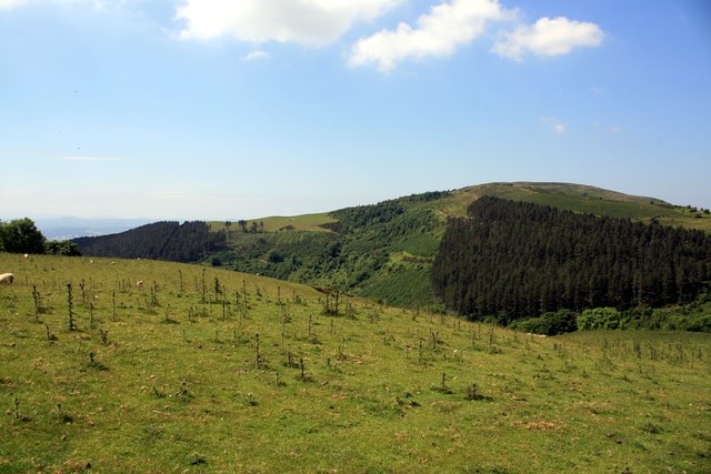
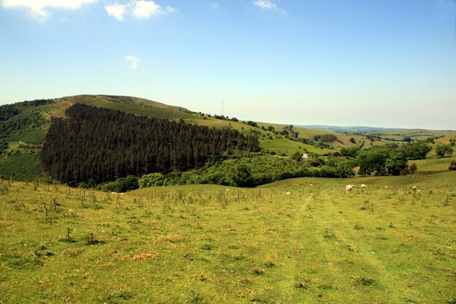
Coed Pen-y-ffrith is a picturesque woodland located in Denbighshire, Wales. Covering an area of approximately 800 hectares, it is a haven for nature enthusiasts and outdoor adventurers alike. The woodland is situated near the village of Llandegla, offering easy access for visitors from both nearby towns and further afield.
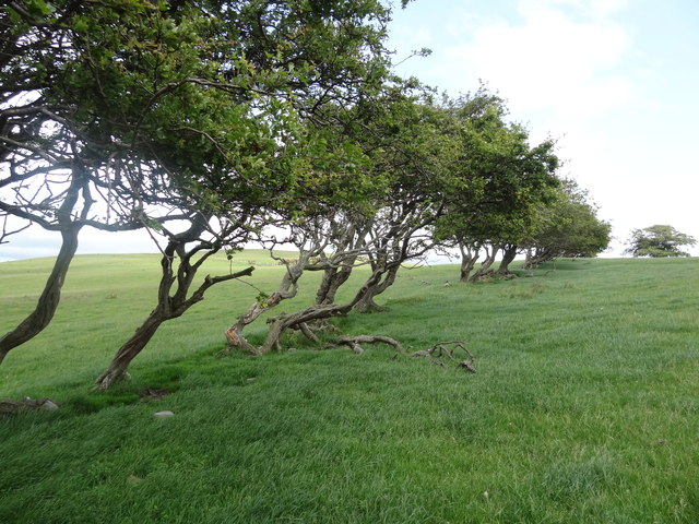
The woodland is predominantly composed of native tree species, including oak, birch, and beech. These majestic trees create a dense canopy, providing a peaceful and serene atmosphere for visitors to enjoy. The forest floor is adorned with an array of wildflowers, ferns, and mosses, creating a vibrant and diverse ecosystem.
Coed Pen-y-ffrith is home to a wide variety of wildlife, making it a popular destination for birdwatchers and animal lovers. Visitors may spot species such as red kites, buzzards, and woodpeckers soaring through the treetops. The woodland is also home to mammals such as badgers, foxes, and deer, which can sometimes be seen grazing in clearings or darting through the undergrowth.
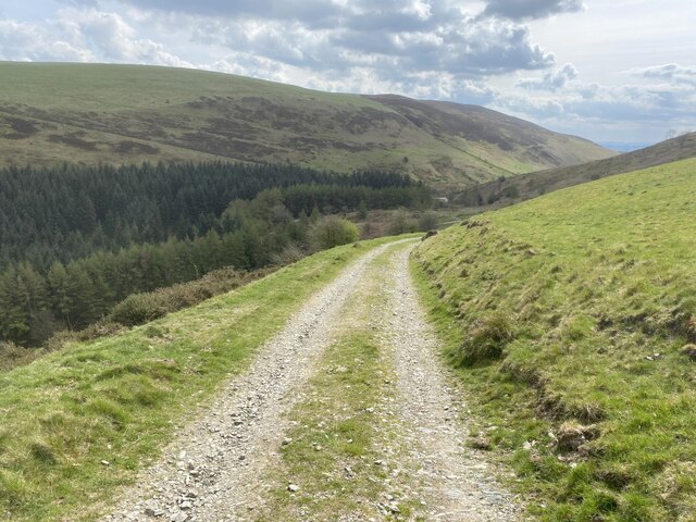
For outdoor enthusiasts, Coed Pen-y-ffrith offers a network of well-maintained trails, suitable for walkers, hikers, and mountain bikers. These trails meander through the woodland, providing stunning views of the surrounding countryside and a chance to immerse oneself in nature. The woodland is also intersected by a tranquil stream, adding to its natural beauty.
Coed Pen-y-ffrith is a true gem of Denbighshire, providing a peaceful retreat for those seeking solace in nature. With its diverse flora and fauna, well-marked trails, and stunning scenery, it is a must-visit destination for anyone with an appreciation for the outdoors.
If you have any feedback on the listing, please let us know in the comments section below.
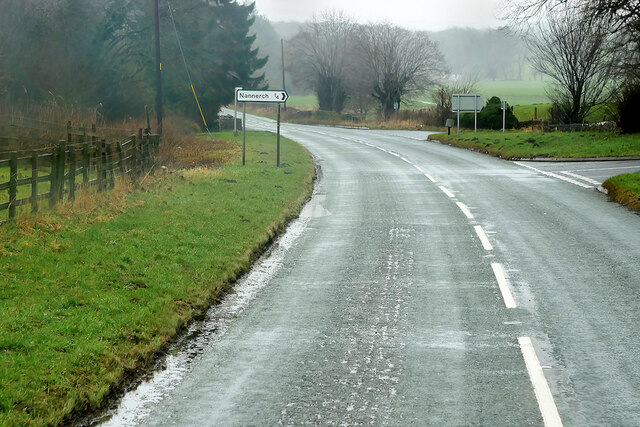
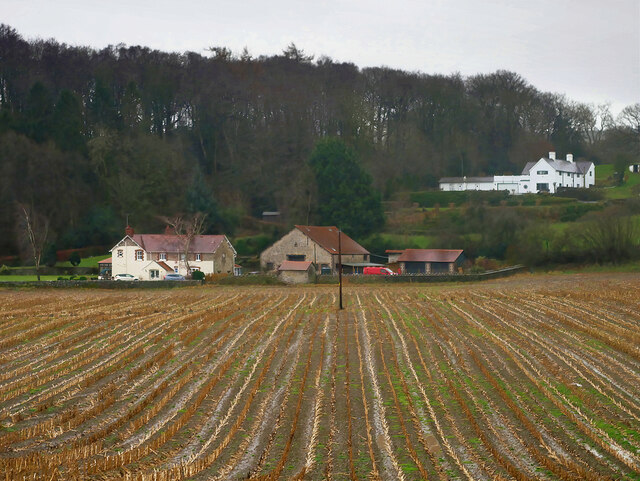
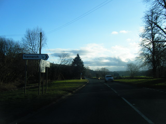
Coed Pen-y-ffrith Images
Images are sourced within 2km of 53.201673/-3.2642701 or Grid Reference SJ1567. Thanks to Geograph Open Source API. All images are credited.


Coed Pen-y-ffrith is located at Grid Ref: SJ1567 (Lat: 53.201673, Lng: -3.2642701)
Unitary Authority: Flintshire
Police Authority: North Wales
What 3 Words
///deodorant.shops.rents. Near Halkyn, Flintshire
Nearby Locations
Related Wikis

Penbedw
Penbedw is a country estate near Nannerch, Flintshire, Wales. Penbedw Hall was demolished by developers some time after 1969.Its parks and gardens are...
Nannerch railway station
Nannerch railway station was a station in Nannerch, Flintshire, Wales. The station was opened on 6 September 1869 and closed on 30 April 1962. == References... ==
Nannerch
Nannerch is a village and community in Flintshire, Wales, located within the Clwydian Range and Dee Valley Area of Outstanding Natural Beauty. At the 2001...
Mold and Denbigh Junction Railway
The Mold and Denbigh Junction Railway was a railway company that built a 16-mile (26 km) railway line in North Wales. It formed a link between the Mold...
Star Crossing Halt railway station
Star Crossing Halt railway station was a station between Nannerch and Cilcain, Flintshire, Wales. The station was opened on 2 November 1914 and closed...

Moel Arthur
Moel Arthur ("Arthur's Hill") is an Iron Age hillfort in Flintshire, Wales, at the boundary with Denbighshire, about 5 miles (8.0 km) east of Denbigh....

Clwydian Range
The Clwydian Range (Welsh: Bryniau Clwyd; also known as the Clwydian Hills; or simply the Clwyds) is a series of hills in the north-east of Wales that...

Penycloddiau
Penycloddiau is a hill in Flintshire, Wales, and one of five Marilyns in the Clwydian Range. The hill, like Foel Fenlli and Moel Arthur to the south,...
Nearby Amenities
Located within 500m of 53.201673,-3.2642701Have you been to Coed Pen-y-ffrith?
Leave your review of Coed Pen-y-ffrith below (or comments, questions and feedback).