Coed y Waen

Wood, Forest in Flintshire

Wales

Coed y Waen

A541 near Nannerch The A541 runs for 26 miles, linking St Asaph with Wrexham. Its northern end starts at the crossroads in the middle of the village of Trefnant (just south of St Asaph). It ends at Wrexham, where it joins the B5101 road. On the way, it passes the town of Mold and also passes through many villages.
A541 near Nannerch Credit: David Dixon

The requested URL returned error: 429 Too Many Requests

If you have any feedback on the listing, please let us know in the comments section below.
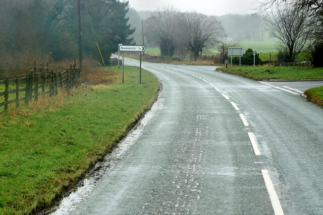
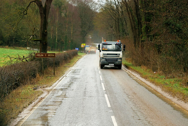
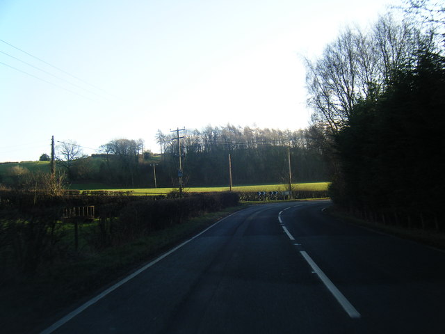
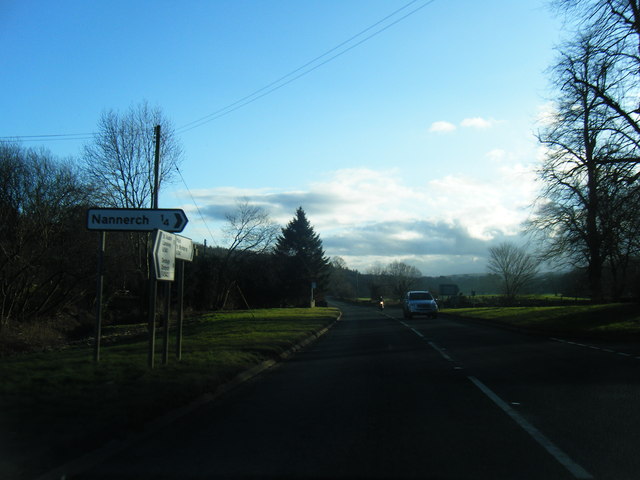
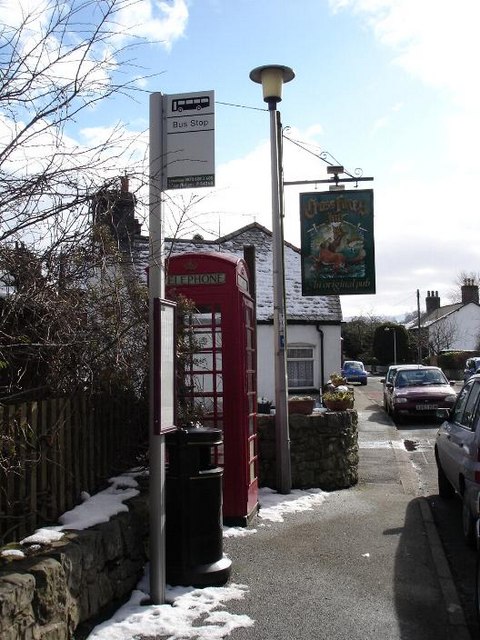
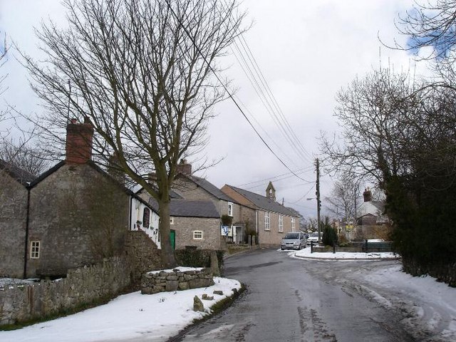
Coed y Waen Images

Images are sourced within 2km of 53.219928/-3.265317 or Grid Reference SJ1569. Thanks to Geograph Open Source API. All images are credited.

A541 near Nannerch The A541 runs for 26 miles, linking St Asaph with Wrexham. Its northern end starts at the crossroads in the middle of the village of Trefnant (just south of St Asaph). It ends at Wrexham, where it joins the B5101 road. On the way, it passes the town of Mold and also passes through many villages.
A541 near Nannerch
The A541 runs for 26 miles, linking St Asaph with Wrexham. Its northern end starts at the crossroads in the middle of the village of Trefnant (just south of St Asaph). It ends at Wrexham, where it joins the B5101 road. On the way, it passes the town of Mold and also passes through many villages.
A541, Nannerch The A541 runs for 26 miles, linking St Asaph with Wrexham. Its northern end starts at the crossroads in the middle of the village of Trefnant (just south of St Asaph). It ends at Wrexham, where it joins the B5101 road. On the way, it passes the town of Mold and also passes through many villages.
A541, Nannerch
The A541 runs for 26 miles, linking St Asaph with Wrexham. Its northern end starts at the crossroads in the middle of the village of Trefnant (just south of St Asaph). It ends at Wrexham, where it joins the B5101 road. On the way, it passes the town of Mold and also passes through many villages.
A451 east of Nannerch The A541 runs for 26 miles, linking St Asaph with Wrexham. Its northern end starts at the crossroads in the middle of the village of Trefnant (just south of St Asaph). It ends at Wrexham, where it joins the B5101 road. On the way, it passes the town of Mold and also passes through many villages.
A451 east of Nannerch
The A541 runs for 26 miles, linking St Asaph with Wrexham. Its northern end starts at the crossroads in the middle of the village of Trefnant (just south of St Asaph). It ends at Wrexham, where it joins the B5101 road. On the way, it passes the town of Mold and also passes through many villages.
Tractor tracks along field edge
Truck on the A541 DG Roberts' Volvo FM (SA13 DAY) passing a layby on the A541 near to Ysceifiog.
Truck on the A541
DG Roberts' Volvo FM (SA13 DAY) passing a layby on the A541 near to Ysceifiog.
Afonwen, Denbigh Road (A541) The A541 runs for 26 miles, linking St Asaph with Wrexham. Its northern end starts at the crossroads in the middle of the village of Trefnant (just south of St Asaph). It ends at Wrexham, where it joins the B5101 road. On the way, it passes the town of Mold and also passes through many villages.
Afonwen, Denbigh Road (A541)
The A541 runs for 26 miles, linking St Asaph with Wrexham. Its northern end starts at the crossroads in the middle of the village of Trefnant (just south of St Asaph). It ends at Wrexham, where it joins the B5101 road. On the way, it passes the town of Mold and also passes through many villages.
A541 near Swan Wood The A541 runs for 26 miles, linking St Asaph with Wrexham. Its northern end starts at the crossroads in the middle of the village of Trefnant (just south of St Asaph). It ends at Wrexham, where it joins the B5101 road. On the way, it passes the town of Mold and also passes through many villages.
A541 near Swan Wood
The A541 runs for 26 miles, linking St Asaph with Wrexham. Its northern end starts at the crossroads in the middle of the village of Trefnant (just south of St Asaph). It ends at Wrexham, where it joins the B5101 road. On the way, it passes the town of Mold and also passes through many villages.
A541, Melin y Wern The A541 runs for 26 miles, linking St Asaph with Wrexham. Its northern end starts at the crossroads in the middle of the village of Trefnant (just south of St Asaph). It ends at Wrexham, where it joins the B5101 road. On the way, it passes the town of Mold and also passes through many villages.
A541, Melin y Wern
The A541 runs for 26 miles, linking St Asaph with Wrexham. Its northern end starts at the crossroads in the middle of the village of Trefnant (just south of St Asaph). It ends at Wrexham, where it joins the B5101 road. On the way, it passes the town of Mold and also passes through many villages.
The Old Mill at Melin y Wern The large, three-storey building set back from the road is a late-Georgian, former mill. It is now used as self-catering holiday accommodation. Grade II-listed (Cadw reference: 529 <span class="nowrap"><a title="http://cadwpublic-api.azurewebsites.net/reports/listedbuilding/FullReport?lang=en&id=529" rel="nofollow ugc noopener" href="http://cadwpublic-api.azurewebsites.net/reports/listedbuilding/FullReport?lang=en&id=529">Link</a><img style="margin-left:2px;" alt="External link" title="External link - shift click to open in new window" src="https://s1.geograph.org.uk/img/external.png" width="10" height="10"/></span> ).
The Old Mill at Melin y Wern
The large, three-storey building set back from the road is a late-Georgian, former mill. It is now used as self-catering holiday accommodation. Grade II-listed (Cadw reference: 529 LinkExternal link ).
Vintage Bentley In British racing green livery. Parked across the road from the Fox Inn, Ysceifiog.
Vintage Bentley
In British racing green livery. Parked across the road from the Fox Inn, Ysceifiog.
Lixwm village shop Located in the car park of the Crown Inn in what appears to be a former garage.
Lixwm village shop
Located in the car park of the Crown Inn in what appears to be a former garage.
A541 looking east
A541 looking east
A541 near Sarn Farm
A541 near Sarn Farm
A541 looking east
A541 looking east
Enclosed path Heading south east between fields from the junction of a footpath west of Lixwm
Enclosed path
Heading south east between fields from the junction of a footpath west of Lixwm
Footpath heading towards Coed-y-Llan wood A diversion through the edge of the more recently extended graveyard beside St Mary's Church, Ysceifiog.  The Clwydian Hills can be seen in the distance on the right
Footpath heading towards Coed-y-Llan wood
A diversion through the edge of the more recently extended graveyard beside St Mary's Church, Ysceifiog. The Clwydian Hills can be seen in the distance on the right
A541 near Nannerch
A541 near Nannerch
A541 south of Nannerch
Show me another place!

Coed y Waen is located at Grid Ref: SJ1569 (Lat: 53.219928, Lng: -3.265317)

Unitary Authority: Flintshire

Police Authority: North Wales

What 3 Words

///overdone.months.dominate. Near Halkyn, Flintshire

Nearby Locations

Coed y Waen Pen-y-felin

Related Wikis

Nannerch

Nannerch is a village and community in Flintshire, Wales, located within the Clwydian Range and Dee Valley Area of Outstanding Natural Beauty. At the 2001...

Penbedw

Penbedw is a country estate near Nannerch, Flintshire, Wales. Penbedw Hall was demolished by developers some time after 1969.Its parks and gardens are...

Ysceifiog

Ysceifiog, also spelled as Ysgeifiog, is a village, community and parish in Flintshire, Wales. It lies on a back road just north of the A541 highway between...

Mold and Denbigh Junction Railway

The Mold and Denbigh Junction Railway was a railway company that built a 16-mile (26 km) railway line in North Wales. It formed a link between the Mold...

Nearby Amenities

Located within 500m of 53.219928,-3.265317
Direction: E
Generator Method: photovoltaic
Generator Output Electricity: yes
Generator Solar Modules: 8
Generator Source: solar
Generator Type: solar_photovoltaic_panel
Location: roof
Power: generator
Lat/Long: 53.2203347/-3.2597148
Direction: W
Generator Method: photovoltaic
Generator Output Electricity: yes
Generator Solar Modules: 8
Generator Source: solar
Generator Type: solar_photovoltaic_panel
Location: roof
Power: generator
Lat/Long: 53.2203343/-3.2597718
Direction: 125
Fixme: module count uncertain (assumed 1 + 7 x 2, could be row of 4 & 1 of 3)
Generator Method: photovoltaic
Generator Output Electricity: yes
Generator Solar Modules: 15
Generator Source: solar
Generator Type: solar_photovoltaic_panel
Location: roof
Power: generator
Lat/Long: 53.2183782/-3.2691273
Direction: E
Generator Method: photovoltaic
Generator Output Electricity: yes
Generator Solar Modules: 9
Generator Source: solar
Generator Type: solar_photovoltaic_panel
Location: roof
Power: generator
Lat/Long: 53.2173487/-3.2664763
Direction: S
Generator Method: photovoltaic
Generator Output Electricity: yes
Generator Solar Modules: 7
Generator Source: solar
Generator Type: solar_photovoltaic_panel
Location: roof
Power: generator
Lat/Long: 53.2173051/-3.2665457
Direction: S
Generator Method: photovoltaic
Generator Output Electricity: yes
Generator Solar Modules: 16
Generator Source: solar
Generator Type: solar_photovoltaic_panel
Location: roof
Power: generator
Lat/Long: 53.2174395/-3.2666443
Direction: S
Generator Method: photovoltaic
Generator Output Electricity: yes
Generator Solar Modules: 12
Generator Source: solar
Generator Type: solar_photovoltaic_panel
Location: roof
Power: generator
Lat/Long: 53.2205434/-3.2582114
Direction: 195
Generator Method: photovoltaic
Generator Output Electricity: yes
Generator Solar Modules: 5
Generator Source: solar
Generator Type: solar_photovoltaic_panel
Location: roof
Power: generator
Lat/Long: 53.217201/-3.2672042
The data included in this document is from www.openstreetmap.org. The data is made available under ODbL.

Have you been to Coed y Waen?

Leave your review of Coed y Waen below (or comments, questions and feedback).