Castle Wood
Wood, Forest in Radnorshire
Wales
Castle Wood

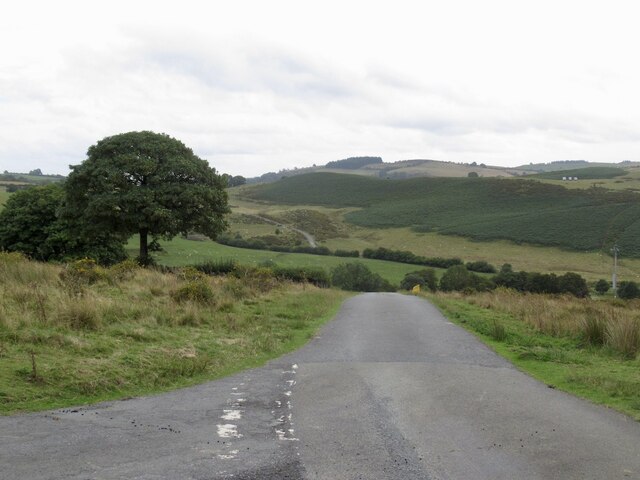
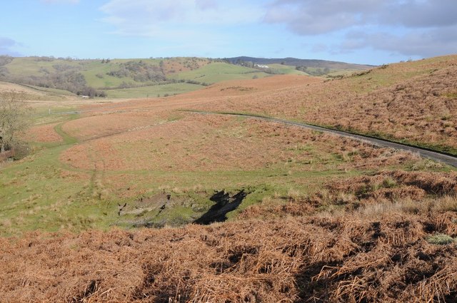
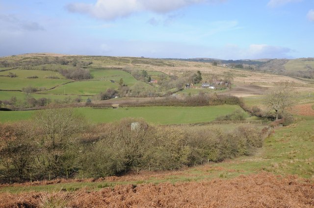
Castle Wood is a picturesque forest located in the county of Radnorshire, Wales. Covering an area of approximately 500 acres, this enchanting woodland is nestled amidst the breathtaking countryside landscape. The forest is named after the nearby Castle Wood, a historical castle ruin that dates back to the medieval period.
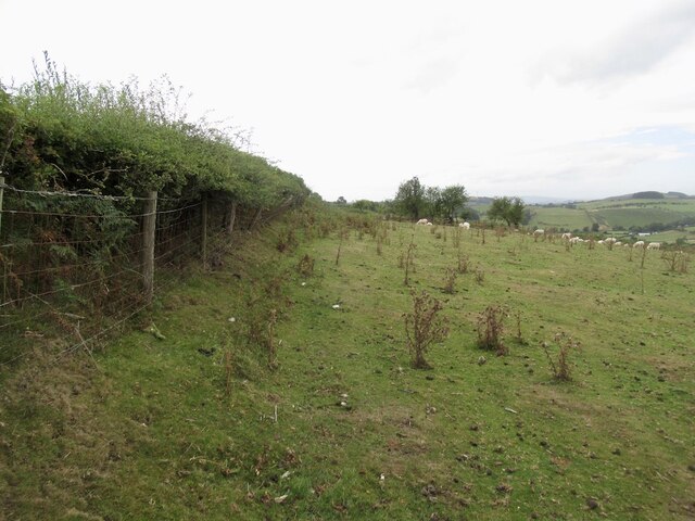
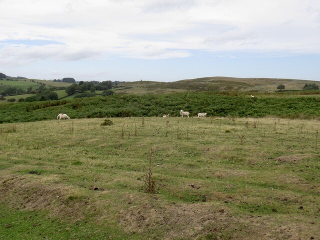
The woodland is predominantly composed of native broadleaf trees such as oak, beech, and ash, creating a rich and diverse ecosystem. The dense canopy of the forest provides a haven for an array of wildlife, including birds, deer, and squirrels, making it a popular spot for nature enthusiasts and birdwatchers.
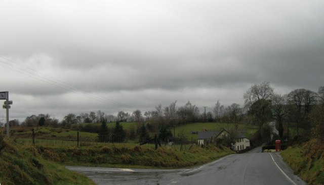
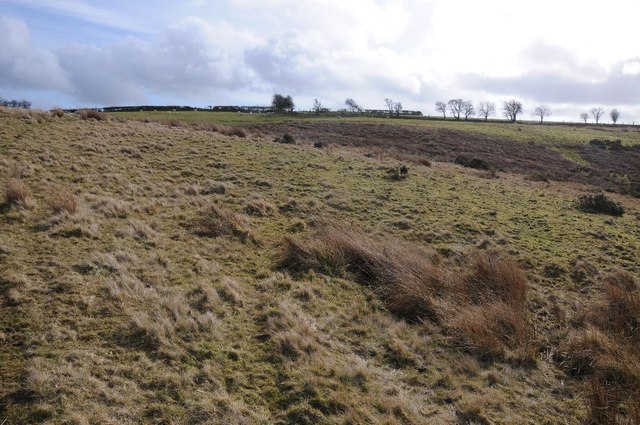
Castle Wood offers visitors a tranquil and immersive experience in nature. There are well-maintained walking trails that meander through the forest, allowing visitors to explore its beauty at their own pace. These trails vary in difficulty, catering to both leisurely strolls and more adventurous hikes.
Throughout the forest, there are several designated picnic areas where visitors can enjoy a peaceful lunch surrounded by the sights and sounds of nature. In addition, the forest has a small visitor center that provides information about the woodland's history, flora, and fauna.
Castle Wood is a cherished natural gem in Radnorshire, providing locals and tourists alike with an opportunity to escape the hustle and bustle of everyday life and immerse themselves in the tranquility of nature. Whether it's a leisurely walk, a family picnic, or wildlife spotting, this forest offers a captivating experience for all.
If you have any feedback on the listing, please let us know in the comments section below.
Castle Wood Images
Images are sourced within 2km of 52.342541/-3.2407448 or Grid Reference SO1572. Thanks to Geograph Open Source API. All images are credited.


Castle Wood is located at Grid Ref: SO1572 (Lat: 52.342541, Lng: -3.2407448)
Unitary Authority: Powys
Police Authority: Dyfed Powys
What 3 Words
///eyebrows.dining.headliner. Near Penybont, Powys
Nearby Locations
Related Wikis

Llanbister Road railway station
Llanbister Road railway station is a countryside stop about 5 miles (8 km) from the village of Llanbister, Powys, Wales. The station is 41+3⁄4 miles (67...

Heartsease, Llanddewi Ystradenni
Heartsease is a small settlement or hamlet in the parish and community of Llanddewi Ystradenni in Powys, Wales. It should not be confused with Heartsease...
Llanbister
Llanbister is a small village and community with a 2011 population of 382 in Powys, mid Wales, in the historic county of Radnorshire. == Facilities... ==
Beacon Hill, Powys
Beacon Hill (Welsh: Mynydd Disglair) is a hill in the county of Radnorshire, Wales. It lies within the Powys unitary council area. It is located north...
Nearby Amenities
Located within 500m of 52.342541,-3.2407448Have you been to Castle Wood?
Leave your review of Castle Wood below (or comments, questions and feedback).