Coed Mawr
Wood, Forest in Monmouthshire
Wales
Coed Mawr

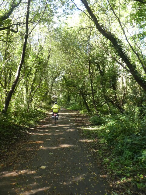
Coed Mawr is a wooded area located in Monmouthshire, Wales. The forest covers an expansive area of land, providing a natural habitat for a variety of wildlife and plant species. The landscape of Coed Mawr is characterized by dense woodlands, rolling hills, and meandering streams.
Visitors to Coed Mawr can explore a network of hiking trails that wind through the forest, offering opportunities to observe the diverse flora and fauna that call this area home. The forest is also home to a number of historic sites, including ancient ruins and burial mounds, which provide insight into the area's rich cultural heritage.
Coed Mawr is a popular destination for nature lovers, hikers, and outdoor enthusiasts seeking to escape the hustle and bustle of urban life. The tranquil atmosphere of the forest offers a peaceful retreat for those looking to connect with nature and enjoy the beauty of the Welsh countryside.
Overall, Coed Mawr is a picturesque and ecologically diverse woodland that provides a serene setting for outdoor recreation and exploration.
If you have any feedback on the listing, please let us know in the comments section below.
Coed Mawr Images
Images are sourced within 2km of 51.629058/-3.2247029 or Grid Reference ST1592. Thanks to Geograph Open Source API. All images are credited.


Coed Mawr is located at Grid Ref: ST1592 (Lat: 51.629058, Lng: -3.2247029)
Unitary Authority: Caerphilly
Police Authority: Gwent
What 3 Words
///alpha.carpets.sublet. Near Maesycwmmer, Caerphilly
Nearby Locations
Related Wikis
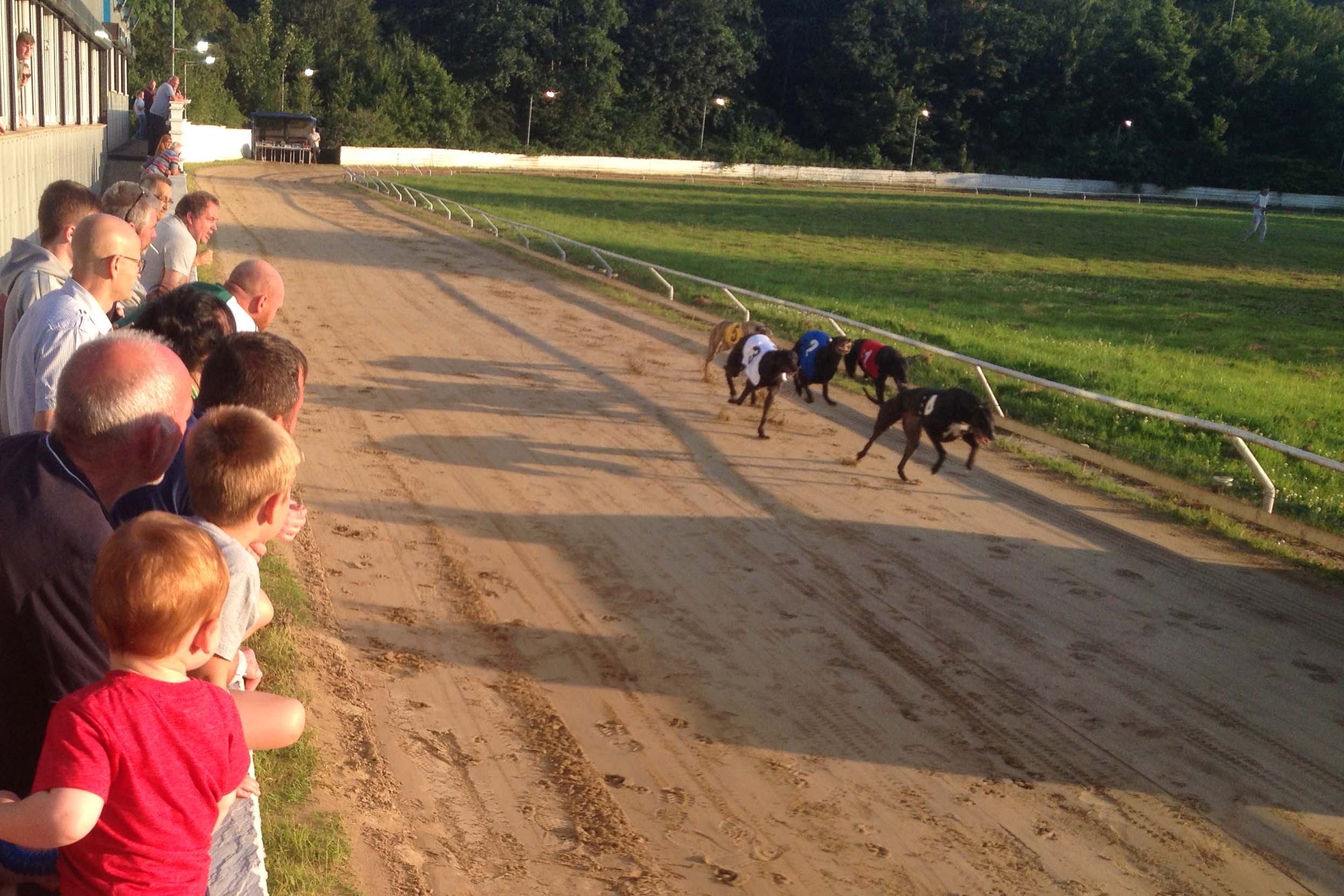
Valley Greyhound Stadium
The Valley Greyhound Stadium is a greyhound racing stadium in Twyn Road, Ystrad Mynach, Hengoed, Wales. In 2023, the stadium became affiliated to the Greyhound...
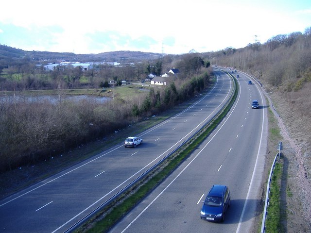
A469 road
The A469 is a road in south Wales. It links Cardiff and Caerphilly with Rhymney and the Heads of the Valleys Road (A465). == See also == Transport in...

Ysbyty Ystrad Fawr
Ysbyty Ystrad Fawr (English: Large Vale Hospital) is a community hospital at Ystrad Mynach in Caerphilly County Borough in Wales. It is managed by Aneurin...
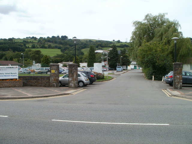
Ystrad Mynach Hospital
Ystrad Mynach Hospital (Welsh: Ysbyty Ystrad Mynach) was a community hospital in Ystrad Mynach, Wales. It was managed by Aneurin Bevan Local Health Board...
Nearby Amenities
Located within 500m of 51.629058,-3.2247029Have you been to Coed Mawr?
Leave your review of Coed Mawr below (or comments, questions and feedback).