Coed Rhydau-duon
Wood, Forest in Denbighshire
Wales
Coed Rhydau-duon
The requested URL returned error: 429 Too Many Requests
If you have any feedback on the listing, please let us know in the comments section below.
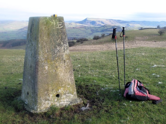
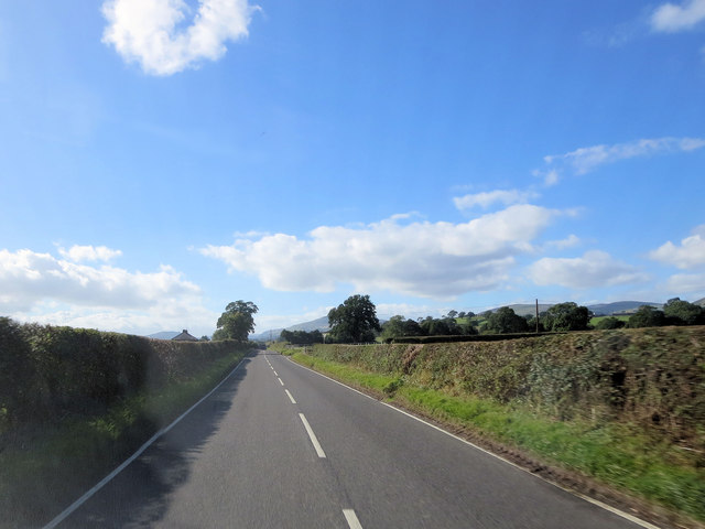
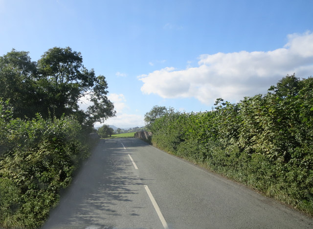
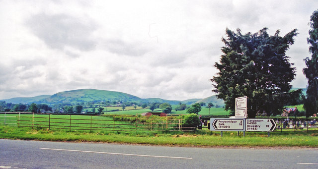
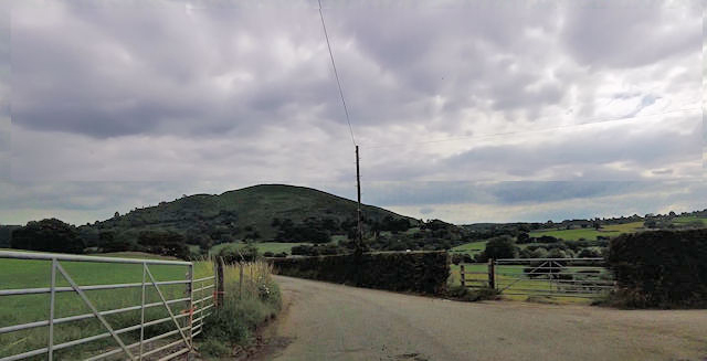
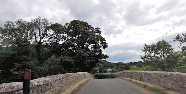
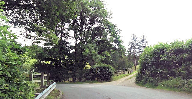
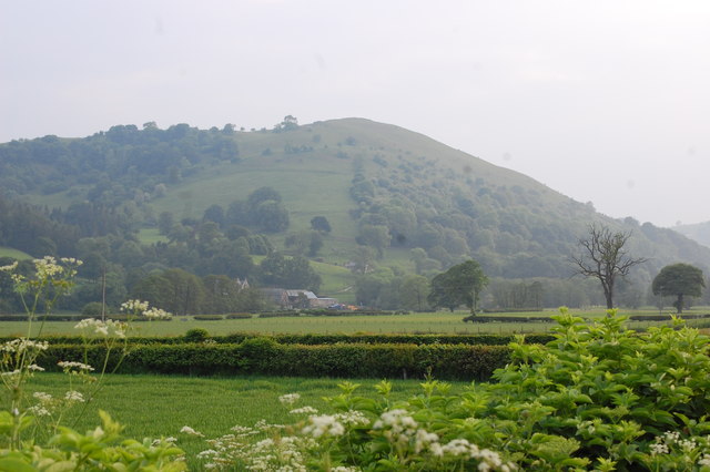
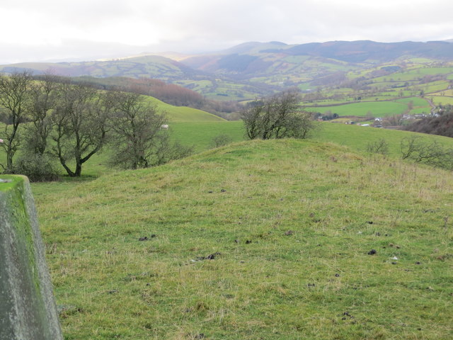
Coed Rhydau-duon Images
Images are sourced within 2km of 52.802228/-3.2653332 or Grid Reference SJ1423. Thanks to Geograph Open Source API. All images are credited.


Coed Rhydau-duon is located at Grid Ref: SJ1423 (Lat: 52.802228, Lng: -3.2653332)
Unitary Authority: Powys
Police Authority: Dyfed Powys
What 3 Words
///cyber.studs.districts. Near Llanrhaeadr-ym-Mochnant, Powys
Nearby Locations
Related Wikis
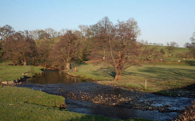
Afon Iwrch
The Afon Iwrch is a river near Llanrhaeadr-ym-Mochnant in Clwyd, Wales. It is a tributary of the River Tanat and is 8.9 miles (14.4 km) in length. Its...

Pentrefelin railway station
Pentrefelin railway station was a station on the Tanat Valley Light Railway, located two miles south-east of Llanrhaeadr-ym-Mochnant, Powys, Wales serving...
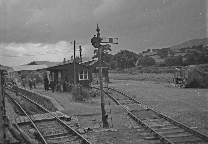
Llanrhaiadr Mochnant railway station
Llanrhaiadr Mochnant railway station was a station near Llanrhaeadr-ym-Mochnant, Powys, Wales, on the Tanat Valley Light Railway. The station opened in...
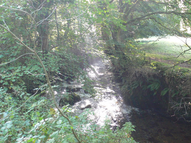
River Rhaeadr
The River Rhaeadr (Welsh: Afon Rhaeadr) is a river in Wales. It starts at the Pistyll Rhaeadr waterfall a few miles from the village of Llanrhaeadr-ym...
Nearby Amenities
Located within 500m of 52.802228,-3.2653332Have you been to Coed Rhydau-duon?
Leave your review of Coed Rhydau-duon below (or comments, questions and feedback).