Allt Hawy
Wood, Forest in Radnorshire
Wales
Allt Hawy

Allt Hawy is a charming woodland located in Radnorshire, Wales. Covering an area of approximately 500 acres, it is a haven for nature enthusiasts and those seeking tranquility amidst lush greenery. The forest is situated at an elevation of around 1,000 feet, providing stunning views of the surrounding rolling hills and valleys.
The woodland is predominantly composed of native tree species such as oak, beech, and birch, creating a diverse and vibrant ecosystem. Visitors can explore a network of well-maintained paths that wind through the forest, offering opportunities for leisurely walks and hikes. The area is rich in flora and fauna, with an array of wildflowers, ferns, and mosses carpeting the forest floor, and birdsong filling the air.
Allt Hawy is also home to a variety of wildlife, including deer, badgers, and foxes. Nature lovers may spot rare species such as the red kite and the elusive pine marten, adding to the allure of this enchanting woodland.
The forest is well-equipped with amenities for visitors, including picnic areas and benches for relaxation and observation. Interpretive signs are strategically placed throughout the woodland, providing interesting facts about the local ecology and history. Additionally, the nearby visitor center offers educational programs and guided tours to enhance the experience for both individuals and groups.
Allt Hawy is a true gem of Radnorshire, offering a place of natural beauty and serenity for all who venture into its embrace. Whether for a leisurely stroll, birdwatching, or simply to connect with nature, this woodland provides a captivating experience that will leave visitors yearning to return.
If you have any feedback on the listing, please let us know in the comments section below.
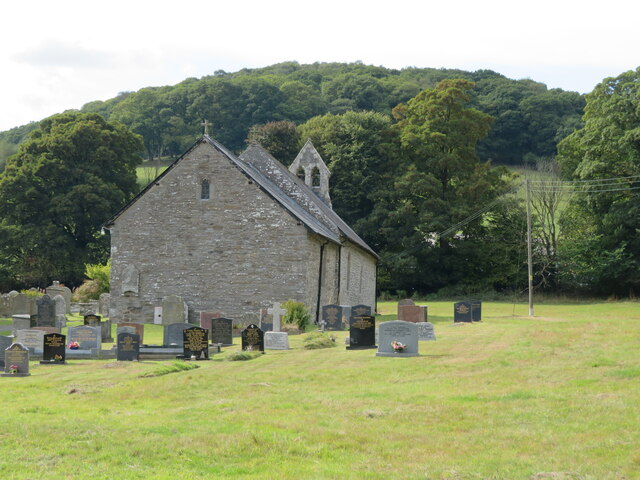
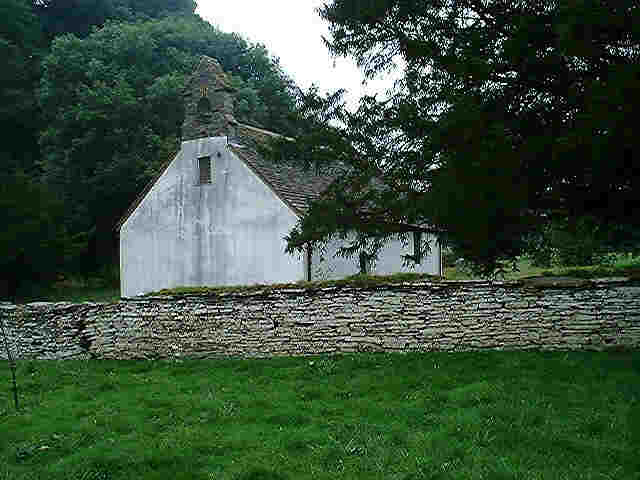
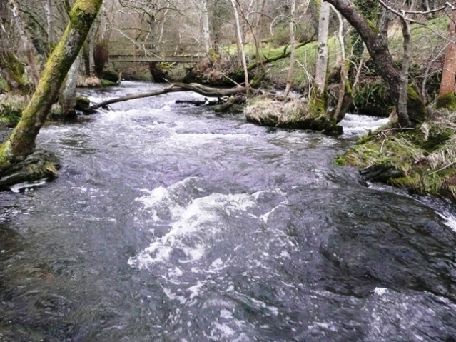
Allt Hawy Images
Images are sourced within 2km of 52.103722/-3.2478873 or Grid Reference SO1445. Thanks to Geograph Open Source API. All images are credited.


Allt Hawy is located at Grid Ref: SO1445 (Lat: 52.103722, Lng: -3.2478873)
Unitary Authority: Powys
Police Authority: Dyfed Powys
What 3 Words
///stylists.fight.mopped. Near Hay, Powys
Nearby Locations
Related Wikis
Painscastle Rural District
Painscastle was, from 1894 to 1974, a rural district in the administrative county of Radnorshire, Wales. The district was formed by the Local Government...

Painscastle
Painscastle (Welsh: Castell-paen) is a village and community in Powys (formerly Radnorshire), Wales which takes its name from the castle at its heart....
Painscastle Castle
Painscastle Castle is a castle in the village of Painscastle in Powys, Wales. It lies between Builth and Hay-on-Wye, approximately 3 miles from the Wales...
Llanbadarn y Garreg
Llanbadarn-y-Garreg is a village in the community of Aberedw, Powys, Wales. It is 45.1 miles (72.6 km) from Cardiff and 141.9 miles (228.4 km) from London...

Llanstephan, Powys
Llanstephan is a small rural settlement in the community of Glasbury, Powys (formerly Radnorshire), Wales. Llanstephan is centred around the isolated church...
Bachawy
The Bachawy (Welsh: Nant Bachawy) (or Bach Howey on Early Ordnance Survey maps.) is a minor river in Powys, Wales. It rises in the hills north of Painscastle...

Llanstephan Halt railway station
Llanstephan Halt railway station, in Llanstephan, Powys, Wales, was opened by the Great Western Railway on 6 March 1933. The nameboard stated Llanstephen...
Rhos Goch National Nature Reserve
Rhos Goch National Nature Reserve, located near Painscastle on the England/Wales border, is one of the largest raised bogs in mid and south Wales. ‘Goch...
Have you been to Allt Hawy?
Leave your review of Allt Hawy below (or comments, questions and feedback).