Coed Moel-dda

Wood, Forest in Flintshire

Wales

Coed Moel-dda

A55 eastbound near Gorsedd
A55 eastbound near Gorsedd Credit: Colin Pyle

The requested URL returned error: 429 Too Many Requests

If you have any feedback on the listing, please let us know in the comments section below.

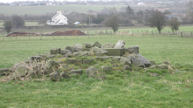
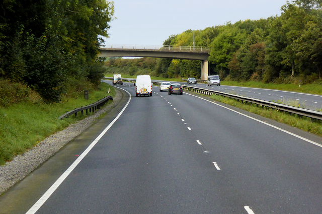
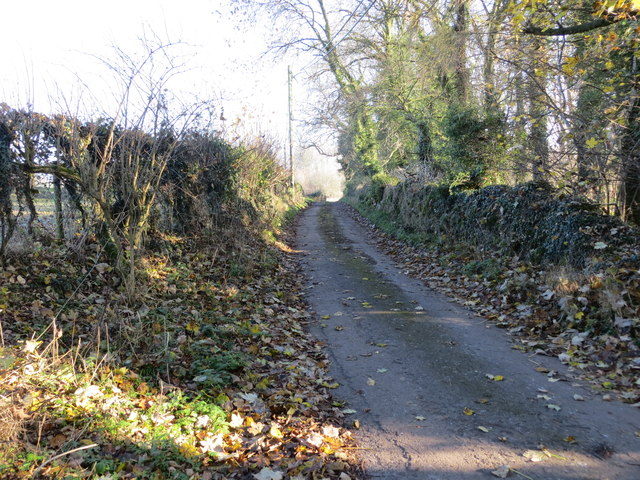
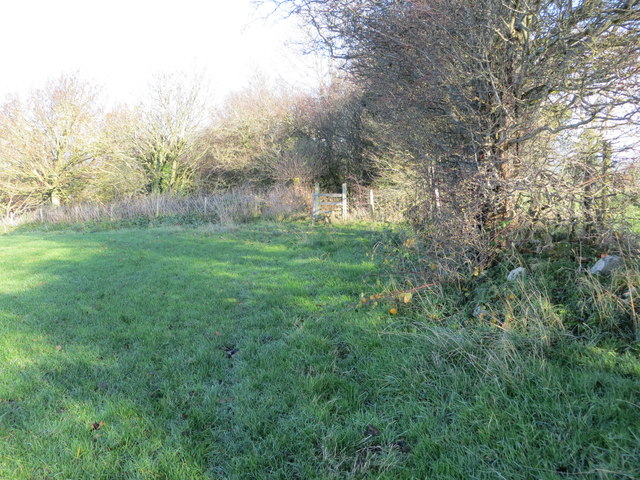
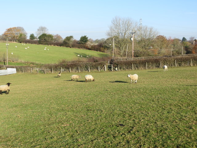
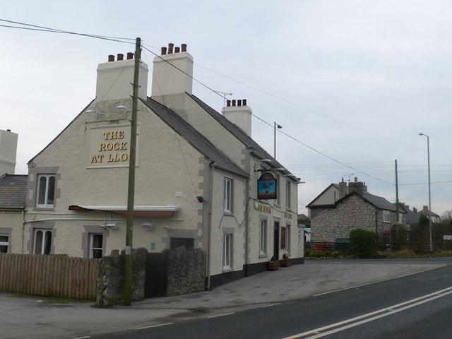
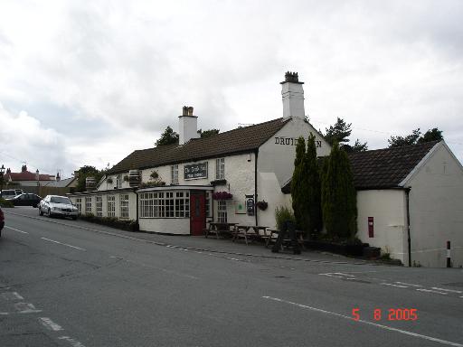
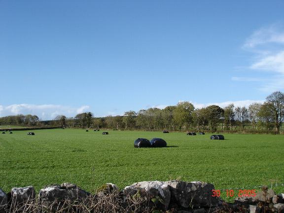
Coed Moel-dda Images

Images are sourced within 2km of 53.268345/-3.2880387 or Grid Reference SJ1475. Thanks to Geograph Open Source API. All images are credited.

A55 eastbound near Gorsedd
Pant Y Wacco Welcome to Pant Y Wacco, just off the A5026 near Gorsedd.
Pant Y Wacco
Welcome to Pant Y Wacco, just off the A5026 near Gorsedd.
A55 westbound nears junction 31
A5026 at Holywell Tyres
A5026 north of Gorsedd
The remains of the Holywell Racecourse Grandstand I believe that the wood and stone structure was evident until a few years ago but all that is left is a couple of piles of stones.
The remains of the Holywell Racecourse Grandstand
I believe that the wood and stone structure was evident until a few years ago but all that is left is a couple of piles of stones.
Lloc village sign on the A5026
Westbound A55 near to Gorsedd The A55, also known as the North Wales Expressway (Gwibffordd Gogledd Cymru), is the major road in North Wales running for 88 miles between Chester and Holyhead via Conwy and Bangor. 

The A55 is a very high quality road, much of it rebuilt since the 1970s in response to traffic problems in Colwyn Bay, Colwyn and Llandudno caused by traffic having to pass through town centres on totally unsuitable streets, (especially in Conwy where lorries often scraped their paintwork as they passed through 12th century arches in the town's walls), leading to the construction of an east-west expressway bypassing the urban centres. It is a dual carriageway primary route for its entire length with the exception of the point where it crosses the Britannia Bridge over the Menai Strait. All of its junctions are grade separated except for two roundabouts; one east of Penmaenmawr and one in Llanfairfechan. The road originally ran from Chester to Bangor but was extended parallel to the A5 across Anglesey right into Holyhead Docks in 2001.

<span class="nowrap"><a title="http://www.sabre-roads.org.uk/wiki/index.php?title=A55" rel="nofollow ugc noopener" href="http://www.sabre-roads.org.uk/wiki/index.php?title=A55">Link</a><img style="margin-left:2px;" alt="External link" title="External link - shift click to open in new window" src="https://s1.geograph.org.uk/img/external.png" width="10" height="10"/></span>  SABRE
Westbound A55 near to Gorsedd
The A55, also known as the North Wales Expressway (Gwibffordd Gogledd Cymru), is the major road in North Wales running for 88 miles between Chester and Holyhead via Conwy and Bangor. The A55 is a very high quality road, much of it rebuilt since the 1970s in response to traffic problems in Colwyn Bay, Colwyn and Llandudno caused by traffic having to pass through town centres on totally unsuitable streets, (especially in Conwy where lorries often scraped their paintwork as they passed through 12th century arches in the town's walls), leading to the construction of an east-west expressway bypassing the urban centres. It is a dual carriageway primary route for its entire length with the exception of the point where it crosses the Britannia Bridge over the Menai Strait. All of its junctions are grade separated except for two roundabouts; one east of Penmaenmawr and one in Llanfairfechan. The road originally ran from Chester to Bangor but was extended parallel to the A5 across Anglesey right into Holyhead Docks in 2001. LinkExternal link SABRE
North Wales Expressway near to Gorsedd The A55, also known as the North Wales Expressway (Gwibffordd Gogledd Cymru), is the major road in North Wales running for 88 miles between Chester and Holyhead via Conwy and Bangor. 

The A55 is a very high quality road, much of it rebuilt since the 1970s in response to traffic problems in Colwyn Bay, Colwyn and Llandudno caused by traffic having to pass through town centres on totally unsuitable streets, (especially in Conwy where lorries often scraped their paintwork as they passed through 12th century arches in the town's walls), leading to the construction of an east-west expressway bypassing the urban centres. It is a dual carriageway primary route for its entire length with the exception of the point where it crosses the Britannia Bridge over the Menai Strait. All of its junctions are grade separated except for two roundabouts; one east of Penmaenmawr and one in Llanfairfechan. The road originally ran from Chester to Bangor but was extended parallel to the A5 across Anglesey right into Holyhead Docks in 2001.

<span class="nowrap"><a title="http://www.sabre-roads.org.uk/wiki/index.php?title=A55" rel="nofollow ugc noopener" href="http://www.sabre-roads.org.uk/wiki/index.php?title=A55">Link</a><img style="margin-left:2px;" alt="External link" title="External link - shift click to open in new window" src="https://s1.geograph.org.uk/img/external.png" width="10" height="10"/></span>  SABRE
North Wales Expressway near to Gorsedd
The A55, also known as the North Wales Expressway (Gwibffordd Gogledd Cymru), is the major road in North Wales running for 88 miles between Chester and Holyhead via Conwy and Bangor. The A55 is a very high quality road, much of it rebuilt since the 1970s in response to traffic problems in Colwyn Bay, Colwyn and Llandudno caused by traffic having to pass through town centres on totally unsuitable streets, (especially in Conwy where lorries often scraped their paintwork as they passed through 12th century arches in the town's walls), leading to the construction of an east-west expressway bypassing the urban centres. It is a dual carriageway primary route for its entire length with the exception of the point where it crosses the Britannia Bridge over the Menai Strait. All of its junctions are grade separated except for two roundabouts; one east of Penmaenmawr and one in Llanfairfechan. The road originally ran from Chester to Bangor but was extended parallel to the A5 across Anglesey right into Holyhead Docks in 2001. LinkExternal link SABRE
North Wales Expressway, Junction 31 The A55, also known as the North Wales Expressway (Gwibffordd Gogledd Cymru), is the major road in North Wales running for 88 miles between Chester and Holyhead via Conwy and Bangor. 

The A55 is a very high quality road, much of it rebuilt since the 1970s in response to traffic problems in Colwyn Bay, Colwyn and Llandudno caused by traffic having to pass through town centres on totally unsuitable streets, (especially in Conwy where lorries often scraped their paintwork as they passed through 12th century arches in the town's walls), leading to the construction of an east-west expressway bypassing the urban centres. It is a dual carriageway primary route for its entire length with the exception of the point where it crosses the Britannia Bridge over the Menai Strait. All of its junctions are grade separated except for two roundabouts; one east of Penmaenmawr and one in Llanfairfechan. The road originally ran from Chester to Bangor but was extended parallel to the A5 across Anglesey right into Holyhead Docks in 2001.

<span class="nowrap"><a title="http://www.sabre-roads.org.uk/wiki/index.php?title=A55" rel="nofollow ugc noopener" href="http://www.sabre-roads.org.uk/wiki/index.php?title=A55">Link</a><img style="margin-left:2px;" alt="External link" title="External link - shift click to open in new window" src="https://s1.geograph.org.uk/img/external.png" width="10" height="10"/></span>  SABRE
North Wales Expressway, Junction 31
The A55, also known as the North Wales Expressway (Gwibffordd Gogledd Cymru), is the major road in North Wales running for 88 miles between Chester and Holyhead via Conwy and Bangor. The A55 is a very high quality road, much of it rebuilt since the 1970s in response to traffic problems in Colwyn Bay, Colwyn and Llandudno caused by traffic having to pass through town centres on totally unsuitable streets, (especially in Conwy where lorries often scraped their paintwork as they passed through 12th century arches in the town's walls), leading to the construction of an east-west expressway bypassing the urban centres. It is a dual carriageway primary route for its entire length with the exception of the point where it crosses the Britannia Bridge over the Menai Strait. All of its junctions are grade separated except for two roundabouts; one east of Penmaenmawr and one in Llanfairfechan. The road originally ran from Chester to Bangor but was extended parallel to the A5 across Anglesey right into Holyhead Docks in 2001. LinkExternal link SABRE
Bridge over the A55 near to Gorsedd The A55, also known as the North Wales Expressway (Gwibffordd Gogledd Cymru), is the major road in North Wales running for 88 miles between Chester and Holyhead via Conwy and Bangor. 

The A55 is a very high quality road, much of it rebuilt since the 1970s in response to traffic problems in Colwyn Bay, Colwyn and Llandudno caused by traffic having to pass through town centres on totally unsuitable streets, (especially in Conwy where lorries often scraped their paintwork as they passed through 12th century arches in the town's walls), leading to the construction of an east-west expressway bypassing the urban centres. It is a dual carriageway primary route for its entire length with the exception of the point where it crosses the Britannia Bridge over the Menai Strait. All of its junctions are grade separated except for two roundabouts; one east of Penmaenmawr and one in Llanfairfechan. The road originally ran from Chester to Bangor but was extended parallel to the A5 across Anglesey right into Holyhead Docks in 2001.

<span class="nowrap"><a title="http://www.sabre-roads.org.uk/wiki/index.php?title=A55" rel="nofollow ugc noopener" href="http://www.sabre-roads.org.uk/wiki/index.php?title=A55">Link</a><img style="margin-left:2px;" alt="External link" title="External link - shift click to open in new window" src="https://s1.geograph.org.uk/img/external.png" width="10" height="10"/></span>  SABRE
Bridge over the A55 near to Gorsedd
The A55, also known as the North Wales Expressway (Gwibffordd Gogledd Cymru), is the major road in North Wales running for 88 miles between Chester and Holyhead via Conwy and Bangor. The A55 is a very high quality road, much of it rebuilt since the 1970s in response to traffic problems in Colwyn Bay, Colwyn and Llandudno caused by traffic having to pass through town centres on totally unsuitable streets, (especially in Conwy where lorries often scraped their paintwork as they passed through 12th century arches in the town's walls), leading to the construction of an east-west expressway bypassing the urban centres. It is a dual carriageway primary route for its entire length with the exception of the point where it crosses the Britannia Bridge over the Menai Strait. All of its junctions are grade separated except for two roundabouts; one east of Penmaenmawr and one in Llanfairfechan. The road originally ran from Chester to Bangor but was extended parallel to the A5 across Anglesey right into Holyhead Docks in 2001. LinkExternal link SABRE
Y ffordd i Ffyddion / The road to Ffyddion
Cottage Farm Rather large for a Cottage!
Cottage Farm
Rather large for a Cottage!
A section of hedge and tree-lined minor road near Coed y Carreg Looking eastward.
A section of hedge and tree-lined minor road near Coed y Carreg
Looking eastward.
Field edge path and stile near Bryn Glas Looking northward.
Field edge path and stile near Bryn Glas
Looking northward.
Footpath crossing a field with grazing sheep at Babell Looking north-eastward.
Footpath crossing a field with grazing sheep at Babell
Looking north-eastward.
Old Milestone by the A5026, west of Pant-y-Wacco, Whitford parish Stone post by the A5026, in parish of Whitford  (Flintshire District), West of Pant-y-Wacco, at junction with old road through village. North side of road.

Inscription once read:-
Holywell
3
St. Asaph
7

Surveyed

Milestone Society National ID: FLT_STHO07
Old Milestone by the A5026, west of Pant-y-Wacco, Whitford parish
Stone post by the A5026, in parish of Whitford (Flintshire District), West of Pant-y-Wacco, at junction with old road through village. North side of road. Inscription once read:- Holywell 3 St. Asaph 7 Surveyed Milestone Society National ID: FLT_STHO07
Plas Cerrig North of Caerwys
Plas Cerrig
North of Caerwys
Show me another place!

Coed Moel-dda is located at Grid Ref: SJ1475 (Lat: 53.268345, Lng: -3.2880387)

Unitary Authority: Flintshire

Police Authority: North Wales

What 3 Words

///frame.wrist.automate. Near Whitford, Flintshire

Related Wikis

Lloc

Lloc is a small village in Flintshire, north Wales. It is located within the community of Whitford. It lies north of the Clwydian Range, just east of the...

Gorsedd, Flintshire

Gorsedd is a village in Flintshire, Wales, in the community of Whitford, with a population of 391 in the 2011 census. == References ==

Pantasaph

Pantasaph is a small village in Flintshire, north-east Wales, two miles south of Holywell in the community of Whitford. Its name translates into English...

Caerwys

Caerwys is a town in Flintshire, Wales. It is just under two miles from the A55 North Wales Expressway and one mile from the A541 Mold-Denbigh road. At...

Nearby Amenities

Located within 500m of 53.268345,-3.2880387
Power: pole
Lat/Long: 53.2641789/-3.2877765
Power: pole
Lat/Long: 53.2648943/-3.2887188
Power: pole
Lat/Long: 53.265504/-3.2894394
Power: pole
Lat/Long: 53.2665152/-3.2905797
Power: pole
Lat/Long: 53.2673655/-3.2915798
Power: pole
Lat/Long: 53.2683382/-3.2912609
Power: pole
Lat/Long: 53.2692534/-3.2910018
Power: pole
Lat/Long: 53.2701759/-3.2907204
Power: pole
Lat/Long: 53.2708398/-3.2904693
Power: pole
Lat/Long: 53.2716844/-3.2902663
Power: pole
Lat/Long: 53.272632/-3.2899775
Bwrdd-y-rhyfel
Historic: archaeological_site
Lat/Long: 53.2685033/-3.2900686
Leisure: horse_riding
Lat/Long: 53.2678204/-3.2906829
Power: pole
Lat/Long: 53.2646673/-3.286531
Power: pole
Lat/Long: 53.2651492/-3.2856834
Power: pole
Lat/Long: 53.2655234/-3.2850319
Power: pole
Lat/Long: 53.2663767/-3.2840909
Power: pole
Lat/Long: 53.2671057/-3.2834208
Power: pole
Lat/Long: 53.2679976/-3.2821454
Power: pole
Lat/Long: 53.2684471/-3.281333
Power: pole
Lat/Long: 53.2675527/-3.2830167
Power: pole
Lat/Long: 53.2662447/-3.2814438
Power: pole
Lat/Long: 53.2668629/-3.2828596
Man Made: mineshaft
Lat/Long: 53.2666071/-3.2831672
The data included in this document is from www.openstreetmap.org. The data is made available under ODbL.

Have you been to Coed Moel-dda?

Leave your review of Coed Moel-dda below (or comments, questions and feedback).