Allt Fawr

Wood, Forest in Montgomeryshire
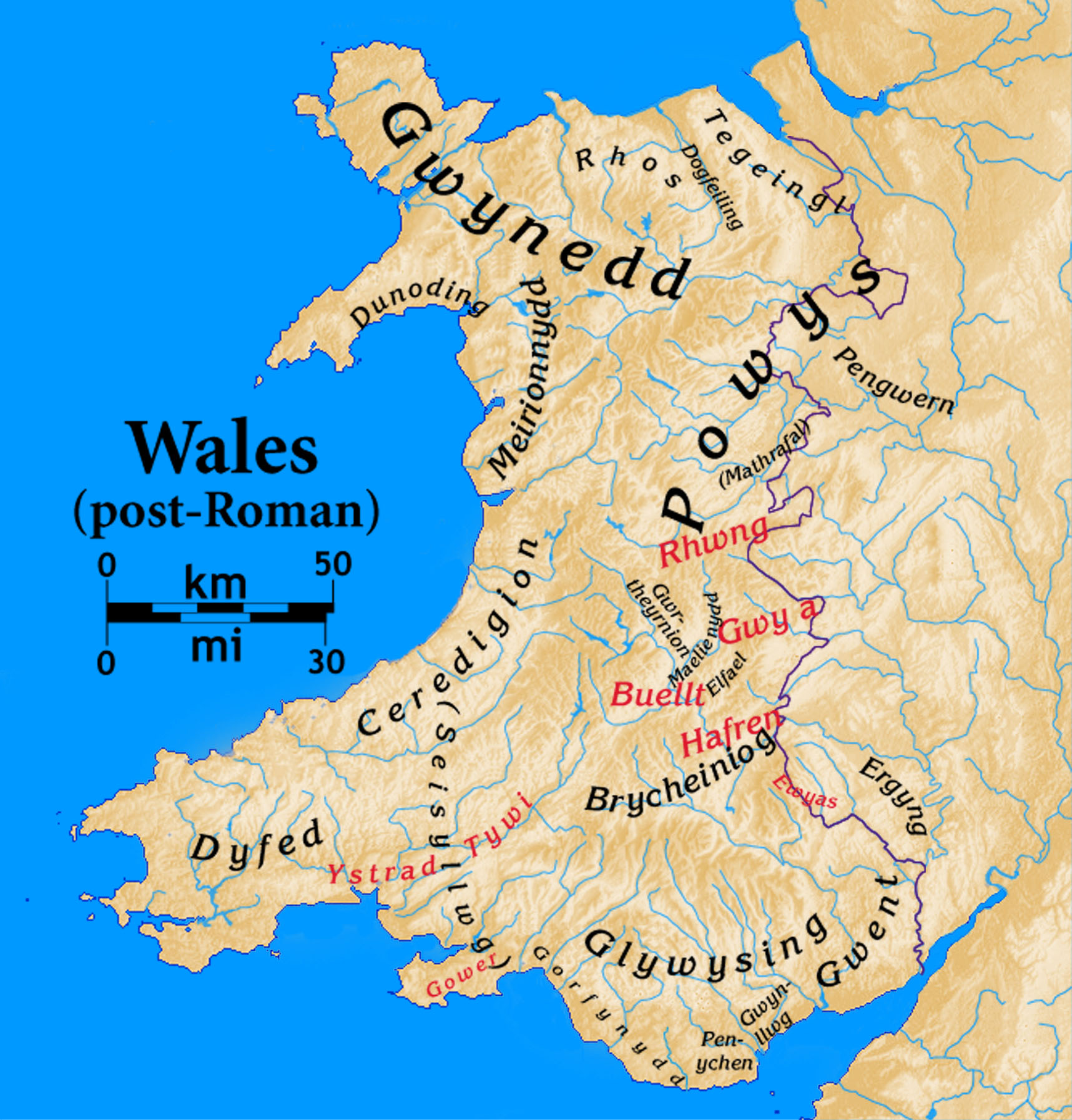
Wales

Allt Fawr

A495 towards Meifod
A495 towards Meifod Credit: Steven Brown

The requested URL returned error: 429 Too Many Requests

If you have any feedback on the listing, please let us know in the comments section below.
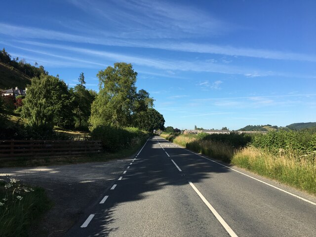
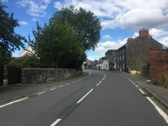
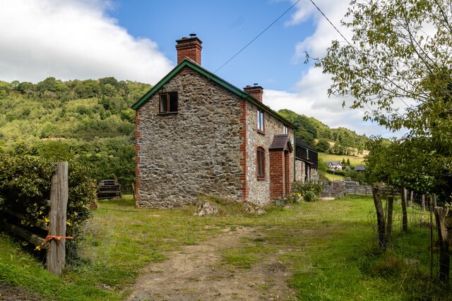
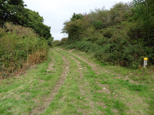
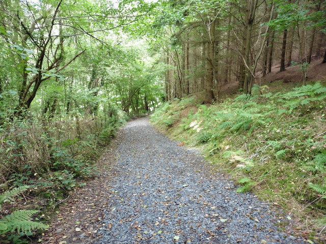
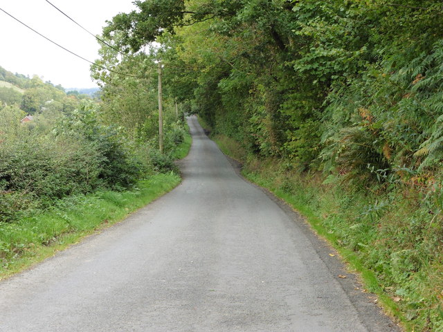
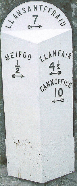
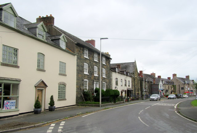
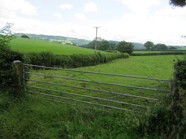
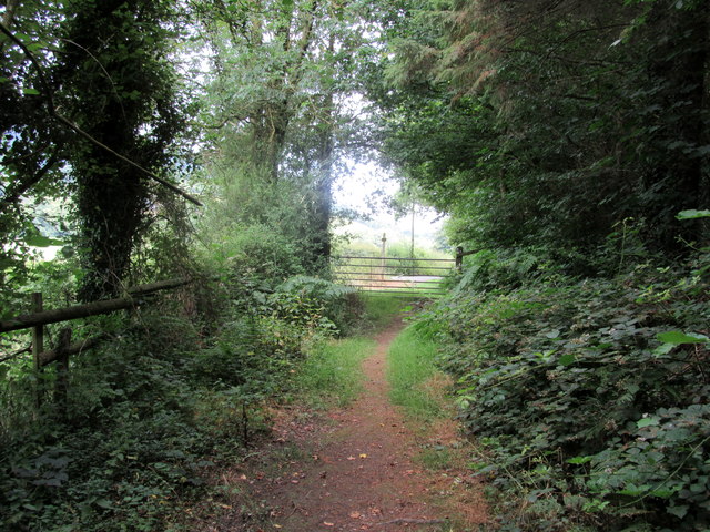
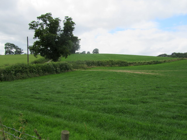
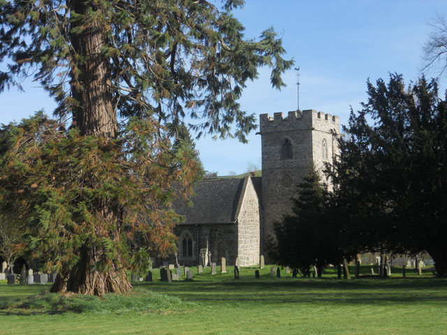
Allt Fawr Images

Images are sourced within 2km of 52.717858/-3.276066 or Grid Reference SJ1314. Thanks to Geograph Open Source API. All images are credited.

A495 towards Meifod
A495 towards Meifod
A495 in Meifod
A495 in Meifod
Byrnant Cottage
Byrnant Cottage
Church of St Tysilio & St Mary The church of St Tysilio & St Mary in Meifod.
Church of St Tysilio & St Mary
The church of St Tysilio & St Mary in Meifod.
Glyndwr's Way near Meifod
Glyndwr's Way near Meifod The road section to Meiford.
Glyndwr's Way near Meifod
The road section to Meiford.
Old Milestone from Meifod parish Appears to be Turner Arrow casting in parish of Meifod (Powys District), (Undisclosed location).

Surveyed

Milestone Society National ID: MOT_MFLS00
Old Milestone from Meifod parish
Appears to be Turner Arrow casting in parish of Meifod (Powys District), (Undisclosed location). Surveyed Milestone Society National ID: MOT_MFLS00
Houses in Meifod On the main A495 running through the village.
Houses in Meifod
On the main A495 running through the village.
Gate into field
Gate into field
Leaving the woods On Glyndŵr’s Way.
Leaving the woods
On Glyndŵr’s Way.
Field north of Glascoed
Meifod Church
Meifod Church
They don't like pylons round here The protest against pylons is evident throughout mid-Wales, as a reaction against the Tan 8 proposals before the Welsh Assembly.
They don't like pylons round here
The protest against pylons is evident throughout mid-Wales, as a reaction against the Tan 8 proposals before the Welsh Assembly.
The Calvinistic Methodist Chapel, Meifod According to the stone, it was erected in 1874.
The Calvinistic Methodist Chapel, Meifod
According to the stone, it was erected in 1874.
Church of St Tysilio & St Mary, Meifod There has been a church on this site since about 550AD, but the current building reflects styles from late Norman almost to the present.
Church of St Tysilio & St Mary, Meifod
There has been a church on this site since about 550AD, but the current building reflects styles from late Norman almost to the present.
Summit behind Pen-y-foel How could a walker not be drawn to this gorgeous little hill above Meifod.  Five gnarled oak trees cling to the rock, their progeny doomed to be forever nipped off by encroaching sheep.
Summit behind Pen-y-foel
How could a walker not be drawn to this gorgeous little hill above Meifod. Five gnarled oak trees cling to the rock, their progeny doomed to be forever nipped off by encroaching sheep.
Approaching cross roads at Rhos Pen Bwa
Show me another place!

Allt Fawr is located at Grid Ref: SJ1314 (Lat: 52.717858, Lng: -3.276066)

Unitary Authority: Powys

Police Authority: Dyfed Powys

What 3 Words

///bikes.chess.churn. Near Llanfyllin, Powys

Nearby Locations

Allt Fawr

Related Wikis

Meifod

Meifod, formerly also written Meivod (), is a small village, community and electoral ward 7 miles north-west of Welshpool in Montgomeryshire, Powys, Wales...

Dogfeiling

Dogfeiling was a minor sub-kingdom and later a commote in north Wales. It formed part of the eastern border of the Kingdom of Gwynedd in early medieval...

Dolobran, Montgomeryshire

Dolobran, in the county of Montgomeryshire (now Powys) in Wales, is a historic estate which was the earliest known seat of the expansive Lloyd family,...

River Banwy

The River Banwy is a river about 19 miles (31 km) long in Powys, Wales. It is a tributary of the River Vyrnwy. The Banwy rises in the hills near the pass...

Nearby Amenities

Located within 500m of 52.717858,-3.276066
Place: farm
Lat/Long: 52.7144188/-3.2766023
Place: farm
Lat/Long: 52.7163296/-3.2828679
The data included in this document is from www.openstreetmap.org. The data is made available under ODbL.

Have you been to Allt Fawr?

Leave your review of Allt Fawr below (or comments, questions and feedback).