Coed Trefraith

Wood, Forest in Flintshire

Wales

Coed Trefraith

St Michael's Church, Caerwys
St Michael's Church, Caerwys Credit: Chris Andrews

Coed Trefraith, located in Flintshire, Wales, is a picturesque woodland area known for its natural beauty and diverse ecosystem. Covering an expansive area, this ancient forest is a haven for wildlife and provides a peaceful retreat for visitors seeking tranquility.

The woodlands of Coed Trefraith are primarily composed of a mix of deciduous and coniferous trees, including oak, beech, and pine, creating a vibrant tapestry of colors throughout the year. The forest floor is adorned with a rich carpet of ferns, moss, and wildflowers, further enhancing its enchanting atmosphere.

With its network of well-maintained trails, Coed Trefraith offers opportunities for hiking, walking, and cycling, attracting outdoor enthusiasts and nature lovers alike. The diverse flora and fauna found within the forest make it a popular spot for birdwatching and wildlife spotting, with sightings of red squirrels, badgers, and a variety of bird species being common.

Coed Trefraith is not only a natural gem but also holds historical significance. The woodland is dotted with ancient ruins and remnants of human activity, including old stone structures and abandoned mines, providing a glimpse into its past. Archaeological discoveries have revealed evidence of human habitation in the area dating back centuries.

The forest is easily accessible, with parking facilities and information boards available for visitors. It is managed and protected by local authorities to preserve its natural beauty and ecological value for future generations.

Whether you are seeking a peaceful walk in nature, a chance to observe wildlife, or a glimpse into history, Coed Trefraith in Flintshire is a must-visit destination for nature enthusiasts and history buffs alike.

If you have any feedback on the listing, please let us know in the comments section below.

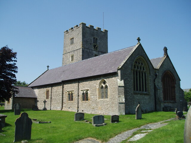
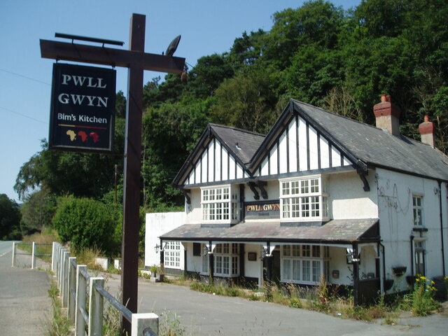
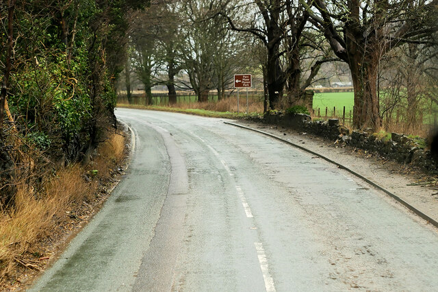
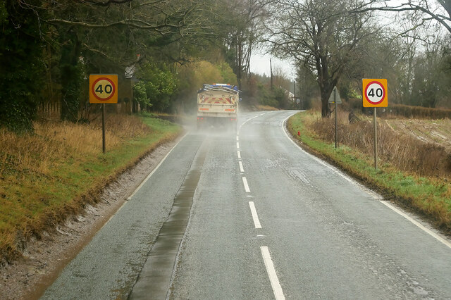
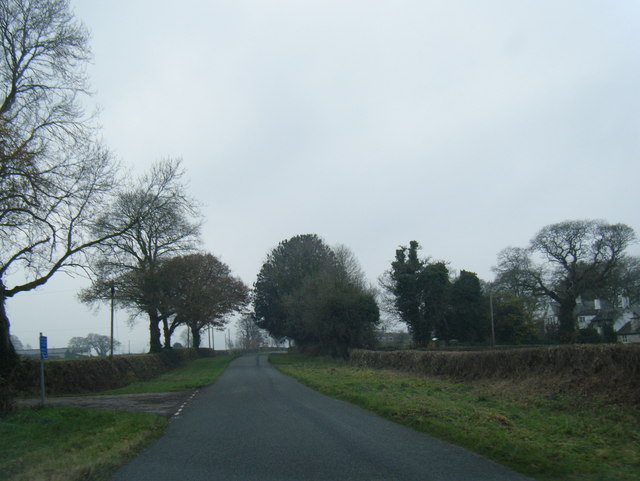
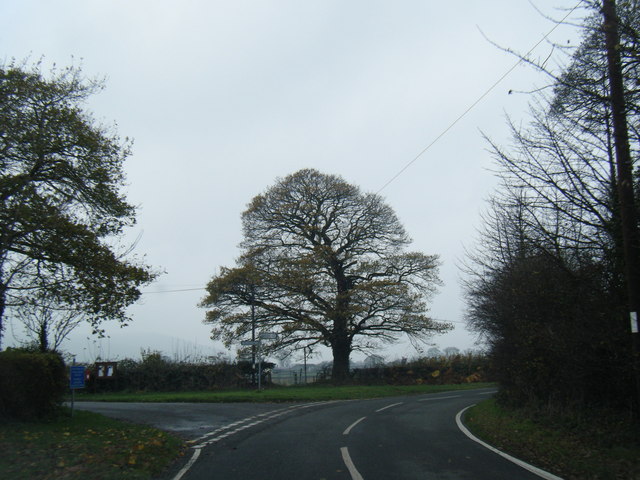
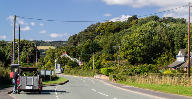
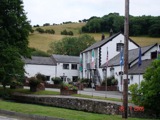
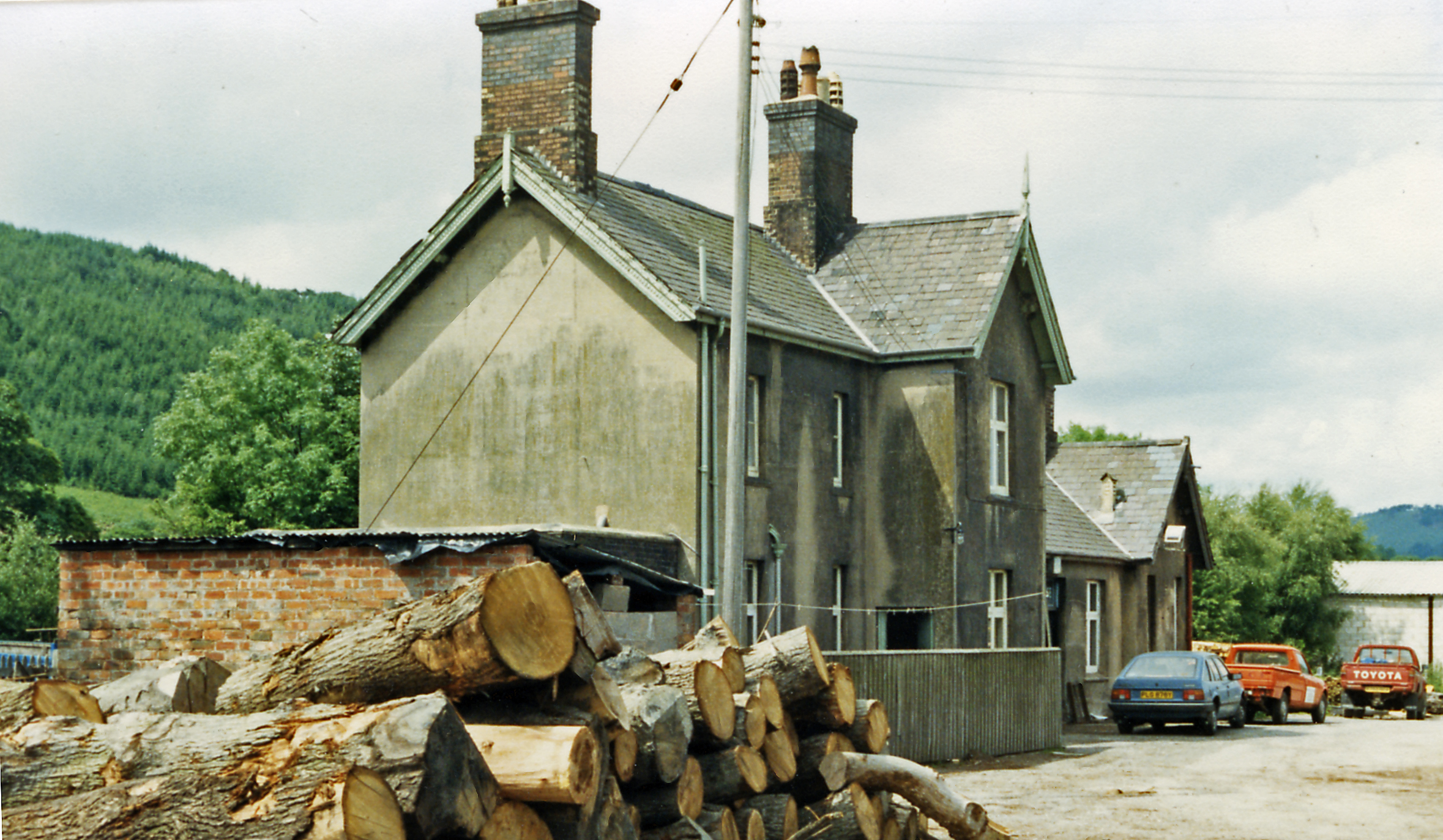
Coed Trefraith Images

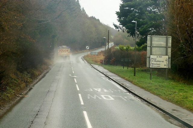
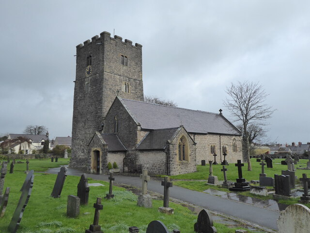
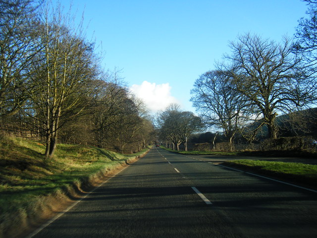
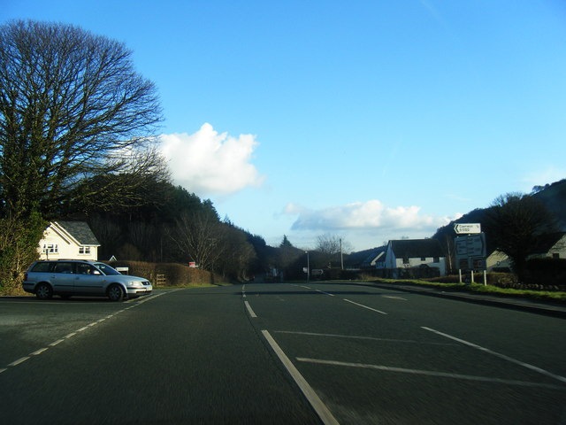
Images are sourced within 2km of 53.245055/-3.2970203 or Grid Reference SJ1372. Thanks to Geograph Open Source API. All images are credited.

St Michael's Church, Caerwys
Pwll Gwyn, Afon-wen
Pwll Gwyn, Afon-wen
A541 near Maes-Mynan Park The A541 runs for 26 miles, linking St Asaph with Wrexham. Its northern end starts at the crossroads in the middle of the village of Trefnant (just south of St Asaph). It ends at Wrexham, where it joins the B5101 road. On the way, it passes the town of Mold and also passes through many villages.
A541 near Maes-Mynan Park
The A541 runs for 26 miles, linking St Asaph with Wrexham. Its northern end starts at the crossroads in the middle of the village of Trefnant (just south of St Asaph). It ends at Wrexham, where it joins the B5101 road. On the way, it passes the town of Mold and also passes through many villages.
A541 approaching Afon-Wen The A541 runs for 26 miles, linking St Asaph with Wrexham. Its northern end starts at the crossroads in the middle of the village of Trefnant (just south of St Asaph). It ends at Wrexham, where it joins the B5101 road. On the way, it passes the town of Mold and also passes through many villages.
A541 approaching Afon-Wen
The A541 runs for 26 miles, linking St Asaph with Wrexham. Its northern end starts at the crossroads in the middle of the village of Trefnant (just south of St Asaph). It ends at Wrexham, where it joins the B5101 road. On the way, it passes the town of Mold and also passes through many villages.
A541 at Afonwen Afonwen is a small village in Flintshire. It is situated on the A541 Mold-Denbigh road.
A541 at Afonwen
Afonwen is a small village in Flintshire. It is situated on the A541 Mold-Denbigh road.
Truck on the A541 DG Roberts' Volvo FM (SA13 DAY) passing a layby on the A541 near to Ysceifiog.
Truck on the A541
DG Roberts' Volvo FM (SA13 DAY) passing a layby on the A541 near to Ysceifiog.
Caerwys, St Michael
Caerwys, St Michael
A541 near Afonwen
A541 near Afonwen
A541 at  Afonwen
A541 at Afonwen
Former Caerwys station, 1986 View westward, towards Denbigh: ex-LNW Chester - Mold - Denbigh line, closed 30/4/62. It seems that the new owners may have been timber-merchants.
Former Caerwys station, 1986
View westward, towards Denbigh: ex-LNW Chester - Mold - Denbigh line, closed 30/4/62. It seems that the new owners may have been timber-merchants.
South Street, Caerwys Although only really a village, Caerwys proudly claims itself to be the smallest town in Great Britain with a royal charter - and indeed it does have a town council and its own mayor.
South Street, Caerwys
Although only really a village, Caerwys proudly claims itself to be the smallest town in Great Britain with a royal charter - and indeed it does have a town council and its own mayor.
Lane at Waen-isaf
Lane at Waen-isaf
Lane junction at Groes Faen Bach
Fish Farm Buildings - Caerwys Old farm buildings now used as a fish farm
Fish Farm Buildings - Caerwys
Old farm buildings now used as a fish farm
Afon-wen Houses at Afon-wen.
Afon-wen
Houses at Afon-wen.
Afon-wen The A541 at Afon-wen.
Afon-wen
The A541 at Afon-wen.
Ddol Cottage alongside the A541 at Ddol.
Ddol
Cottage alongside the A541 at Ddol.
Cottage Farm Rather large for a Cottage!
Cottage Farm
Rather large for a Cottage!
Show me another place!

Coed Trefraith is located at Grid Ref: SJ1372 (Lat: 53.245055, Lng: -3.2970203)

Unitary Authority: Flintshire

Police Authority: North Wales

What 3 Words

///clocks.converter.elephant. Near Whitford, Flintshire

Related Wikis

Caerwys

Caerwys is a town in Flintshire, Wales. It is just under two miles from the A55 North Wales Expressway and one mile from the A541 Mold-Denbigh road. At...

Caerwys Tufa

Caerwys Tufa is a Site of Special Scientific Interest in the preserved county of Clwyd, north Wales. Tufa, a very soft limestone that was once used to...

Afonwen

Afonwen ([ˌavɔnˈwɛn]; Welsh: Afon-wen) is a village in Flintshire, Wales. It is situated just under four miles from the A55 North Wales Expressway and...

Caerwys railway station

Caerwys railway station was a station in Afonwen, Flintshire, Wales. The station was named for nearby Caerwys, opened on 6 September 1869 and closed on...

Nearby Amenities

Located within 500m of 53.245055,-3.2970203
Power: pole
Lat/Long: 53.2487967/-3.3010061
Power: pole
Lat/Long: 53.2479629/-3.3014815
Power: pole
Lat/Long: 53.2473482/-3.3018422
Power: pole
Lat/Long: 53.2464523/-3.3018203
Power: pole
Lat/Long: 53.245383/-3.3017876
Power: tower
Lat/Long: 53.2445557/-3.3015362
Power: pole
Lat/Long: 53.2437036/-3.301236
Power: pole
Lat/Long: 53.242512/-3.3008586
Power: pole
Lat/Long: 53.2416846/-3.3010116
Power: pole
Lat/Long: 53.2413184/-3.3010772
Erw'r Castell Mound
Historic: archaeological_site
Lat/Long: 53.2472364/-3.3025691
Power: pole
Lat/Long: 53.2440116/-3.3013898
Power: pole
Lat/Long: 53.2432718/-3.3011062
Natural: cave_entrance
Lat/Long: 53.2453274/-3.2996026
Direction: 170
Generator Method: photovoltaic
Generator Output Electricity: yes
Generator Solar Modules: 7
Generator Source: solar
Generator Type: solar_photovoltaic_panel
Location: roof
Power: generator
Lat/Long: 53.2467953/-3.3038968
Direction: 85
Generator Method: photovoltaic
Generator Output Electricity: yes
Generator Solar Modules: 4
Generator Source: solar
Generator Type: solar_photovoltaic_panel
Location: roof
Power: generator
Lat/Long: 53.2437684/-3.3041436
Direction: S
Generator Method: photovoltaic
Generator Output Electricity: yes
Generator Solar Modules: 14
Generator Source: solar
Generator Type: solar_photovoltaic_panel
Location: roof
Power: generator
Lat/Long: 53.2460526/-3.3001504
The data included in this document is from www.openstreetmap.org. The data is made available under ODbL.

Have you been to Coed Trefraith?

Leave your review of Coed Trefraith below (or comments, questions and feedback).