Coed Salusbury
Wood, Forest in Flintshire
Wales
Coed Salusbury
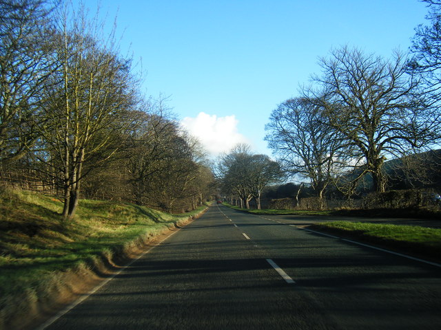
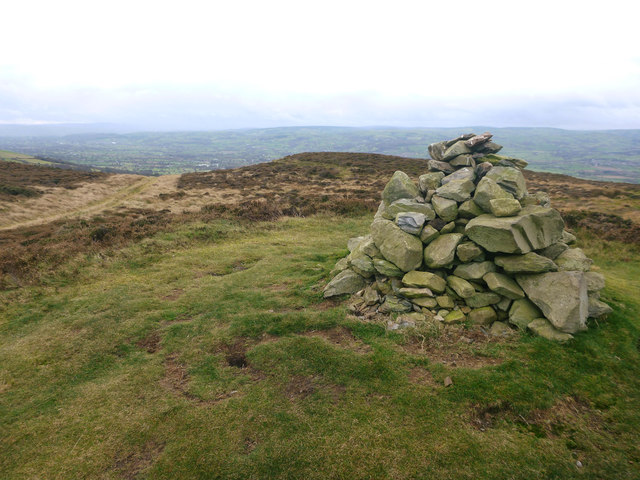
Coed Salusbury is a picturesque woodland located in Flintshire, Wales. Covering an area of approximately 200 acres, this enchanting forest is known for its diverse range of flora and fauna, making it a popular destination for nature enthusiasts and hikers alike.
The woodland is characterized by its dense canopy of oak, beech, and birch trees, which provide a serene and tranquil atmosphere for visitors. The forest floor is adorned with a rich carpet of bluebells and wildflowers during the spring season, creating a vibrant and colorful landscape.
Coed Salusbury is home to a wide variety of wildlife, including deer, foxes, badgers, and a plethora of bird species. Birdwatchers can spot woodpeckers, owls, and various songbirds flitting between the trees. The forest provides a habitat for many endangered species, contributing to its ecological importance.
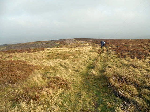
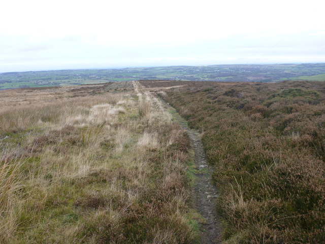
There are several well-marked trails and footpaths that wind through the woodland, allowing visitors to explore its natural beauty at their own pace. These paths offer stunning views of the surrounding countryside and provide opportunities for peaceful walks and picnics.
Coed Salusbury is also a popular location for outdoor activities such as orienteering and geocaching. Its peaceful surroundings make it an ideal spot for families and individuals seeking a break from the hustle and bustle of everyday life.
Overall, Coed Salusbury in Flintshire is a haven for nature lovers, offering a serene escape into the heart of the Welsh countryside. With its diverse range of flora and fauna, well-maintained trails, and tranquil atmosphere, it is a must-visit destination for anyone seeking to immerse themselves in nature's beauty.
If you have any feedback on the listing, please let us know in the comments section below.
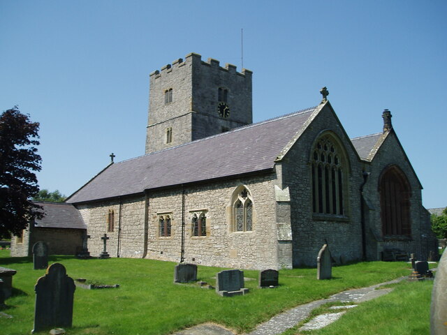
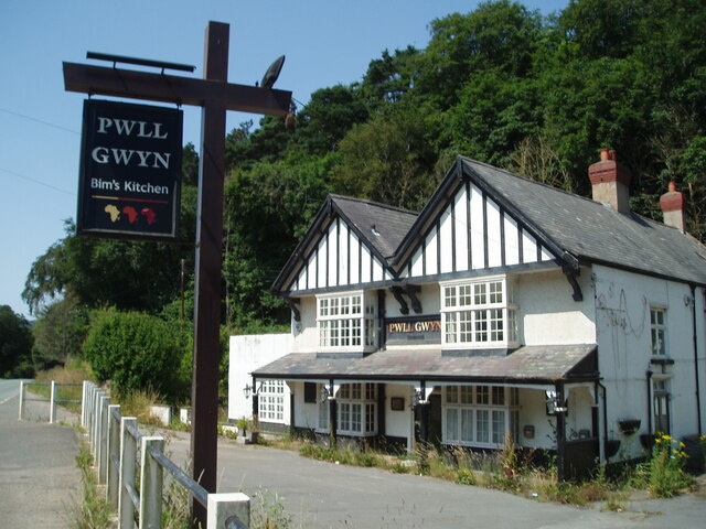
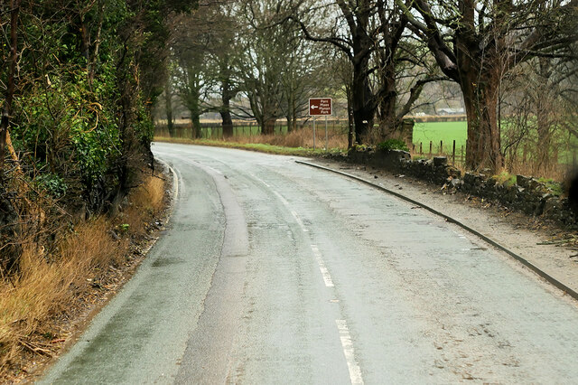
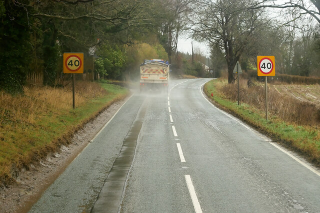
Coed Salusbury Images
Images are sourced within 2km of 53.229039/-3.3041313 or Grid Reference SJ1371. Thanks to Geograph Open Source API. All images are credited.


Coed Salusbury is located at Grid Ref: SJ1371 (Lat: 53.229039, Lng: -3.3041313)
Unitary Authority: Flintshire
Police Authority: North Wales
What 3 Words
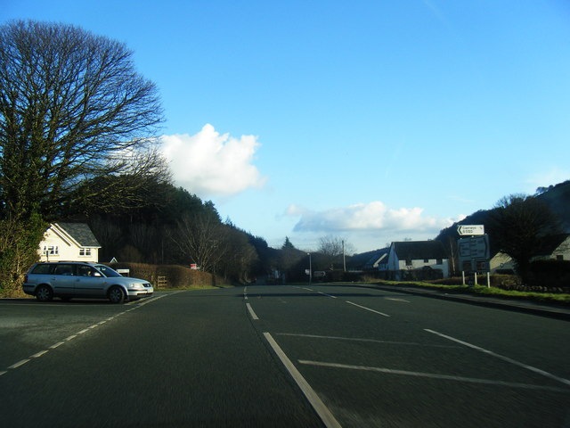
///flagpole.appointed.eaten. Near Whitford, Flintshire
Nearby Locations
Related Wikis
Afonwen
Afonwen ([ˌavɔnˈwɛn]; Welsh: Afon-wen) is a village in Flintshire, Wales. It is situated just under four miles from the A55 North Wales Expressway and...
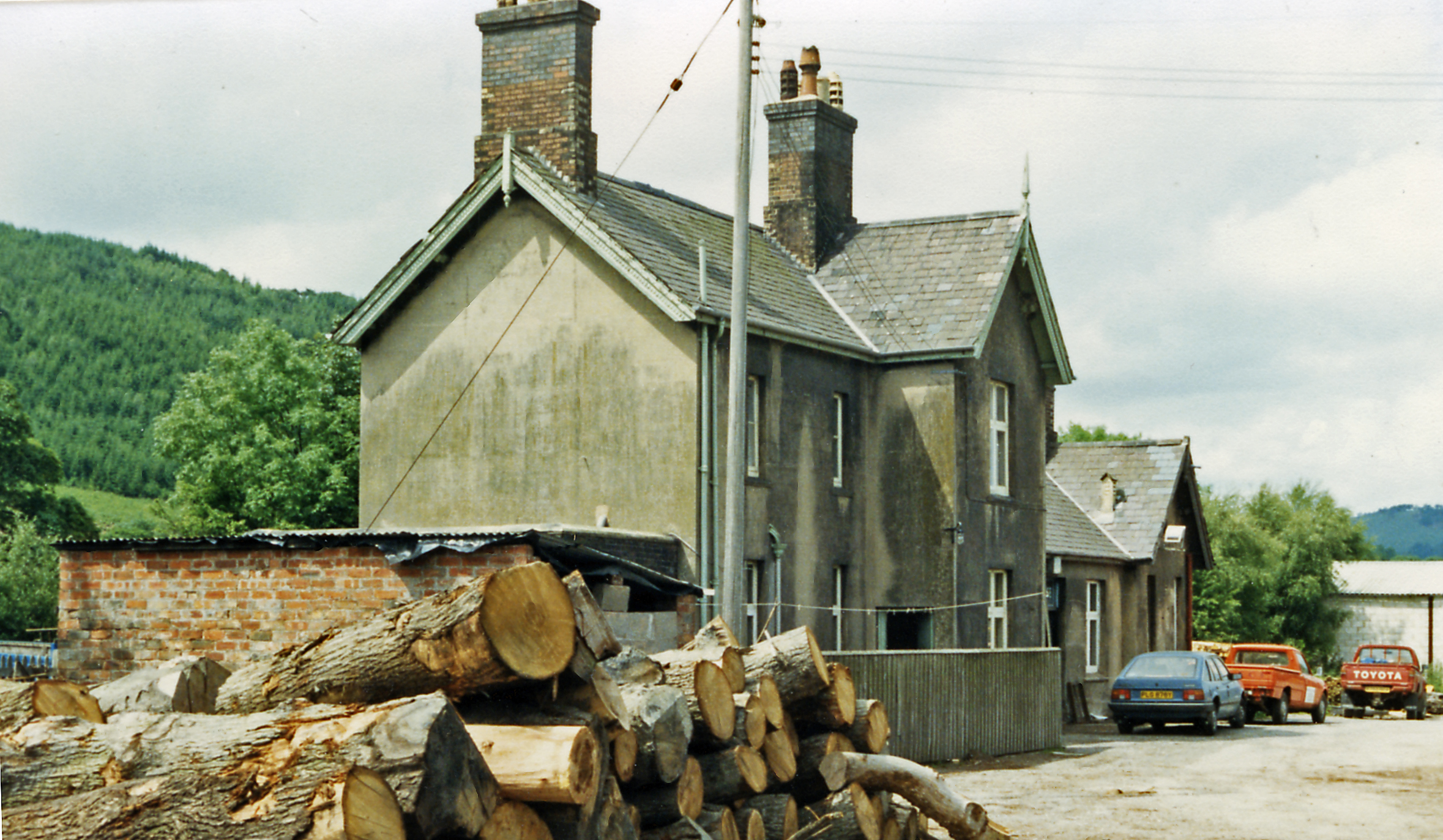
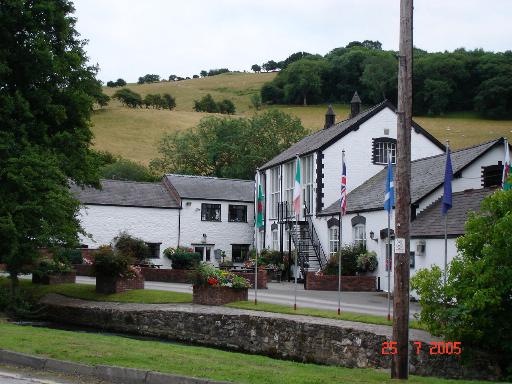
Caerwys railway station
Caerwys railway station was a station in Afonwen, Flintshire, Wales. The station was named for nearby Caerwys, opened on 6 September 1869 and closed on...

Caerwys Tufa
Caerwys Tufa is a Site of Special Scientific Interest in the preserved county of Clwyd, north Wales. Tufa, a very soft limestone that was once used to...

Moel-y-Parc transmitting station
The Moel-y-Parc transmitting station is situated on Moel y Parc, a hill in north-east Wales at the northern end of the Clwydian range, close to the town...
Nearby Amenities
Located within 500m of 53.229039,-3.3041313Have you been to Coed Salusbury?
Leave your review of Coed Salusbury below (or comments, questions and feedback).