Bygrave
Settlement in Hertfordshire North Hertfordshire
England
Bygrave

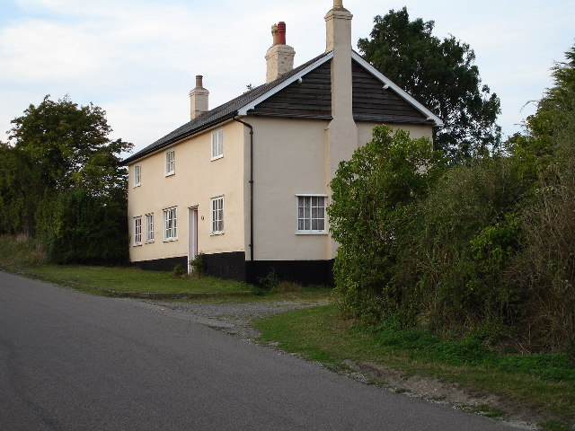
Bygrave is a small village located in the county of Hertfordshire, England. Situated approximately 4 miles northeast of the town of Baldock, it falls within the district of North Hertfordshire. With a population of around 300 residents, Bygrave offers a peaceful and tight-knit community atmosphere.
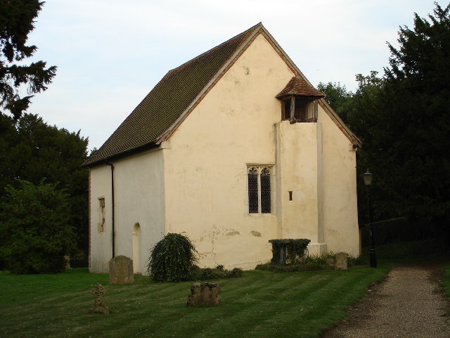
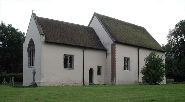
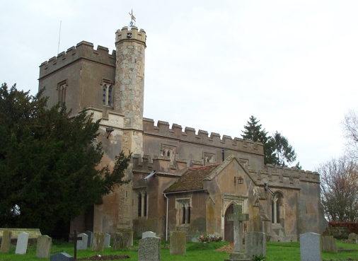
The village itself boasts a rich history, with evidence of settlement dating back to the Bronze Age. Bygrave's historical significance is further emphasized by the presence of the Grade II* listed St. Margaret's Church, a beautiful medieval structure that dates back to the 13th century. The church features stunning stained glass windows and a tranquil churchyard, providing a serene spot for reflection.
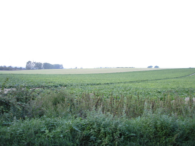
Bygrave is surrounded by picturesque countryside, making it an ideal location for nature lovers and outdoor enthusiasts. The area offers numerous walking and cycling routes, allowing visitors to explore the scenic landscape and enjoy the fresh air. Additionally, the village is within close proximity to the Hertfordshire countryside, offering further opportunities for outdoor activities and exploration.
While Bygrave is primarily a residential village, there are limited amenities available. However, the nearby town of Baldock provides a wider range of facilities, including shops, restaurants, and leisure centers, ensuring that residents have access to all essential amenities.
Overall, Bygrave is a charming and historically significant village, offering a peaceful and rural lifestyle while still providing easy access to nearby towns and amenities. It is an idyllic destination for those seeking a tranquil escape and a close-knit community in the heart of Hertfordshire.
If you have any feedback on the listing, please let us know in the comments section below.
Bygrave Images
Images are sourced within 2km of 52.010405/-0.160268 or Grid Reference TL2636. Thanks to Geograph Open Source API. All images are credited.


Bygrave is located at Grid Ref: TL2636 (Lat: 52.010405, Lng: -0.160268)
Administrative County: Hertfordshire
District: North Hertfordshire
Police Authority: Hertfordshire
What 3 Words
///ringside.teaches.lunge. Near Ashwell, Hertfordshire
Related Wikis
Bygrave
Bygrave is a village and civil parish in the North Hertfordshire district of Hertfordshire, England, about 2 miles north-east of Baldock. In the 10th...
Church of St Margaret of Antioch, Bygrave
The Church of St Margaret of Antioch is the Anglican parish church for the village of Bygrave in Hertfordshire. Dedicated to St Margaret of Antioch, the...
Newnham, Hertfordshire
Newnham is a small village and civil parish near Ashwell in the North Hertfordshire district, in the county of Hertfordshire, England. It shares a grouped...
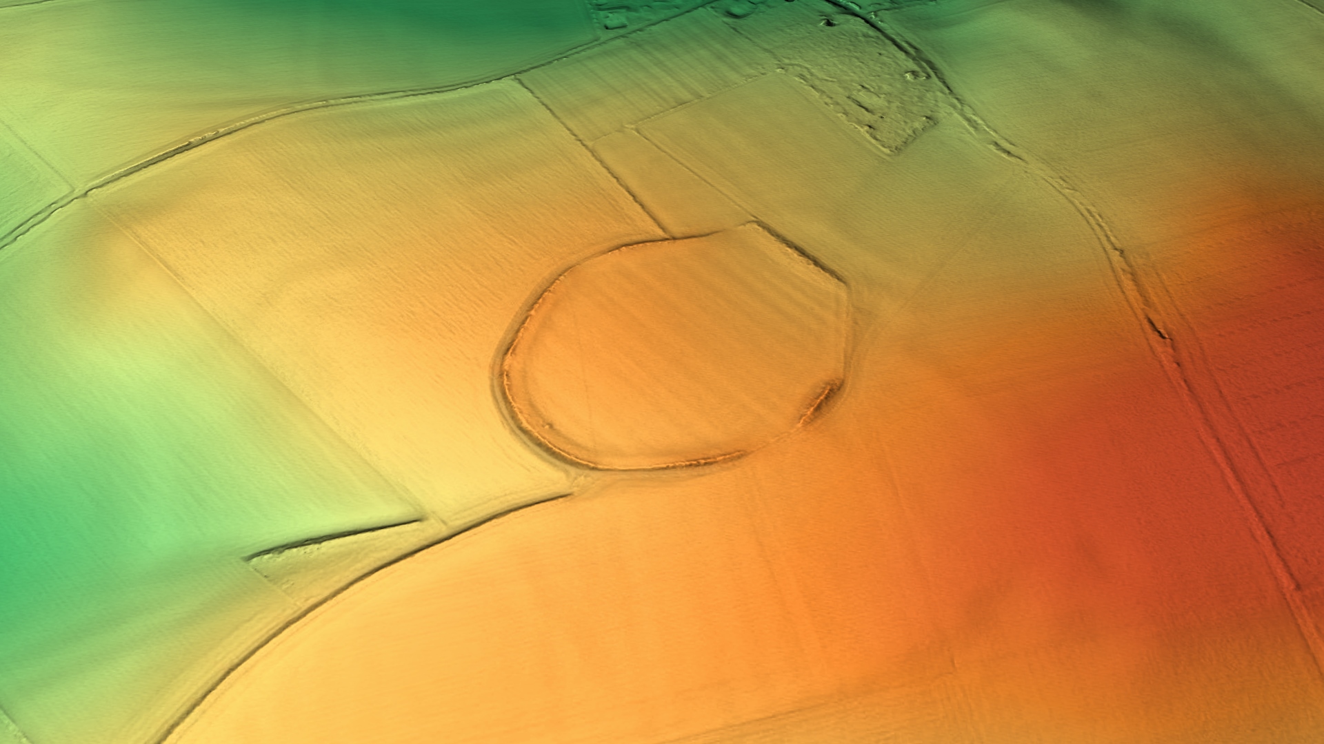
Arbury Banks, Hertfordshire
Arbury Banks is a hill fort southwest of Ashwell, Hertfordshire, England. It was probably first constructed during the late Bronze Age, 1000-700 BC. Standing...

Church of St Vincent, Newnham
The Church of St Vincent in Newnham in Hertfordshire is a 12th-century Anglican parish church and a Grade II* listed building, having gained that status...
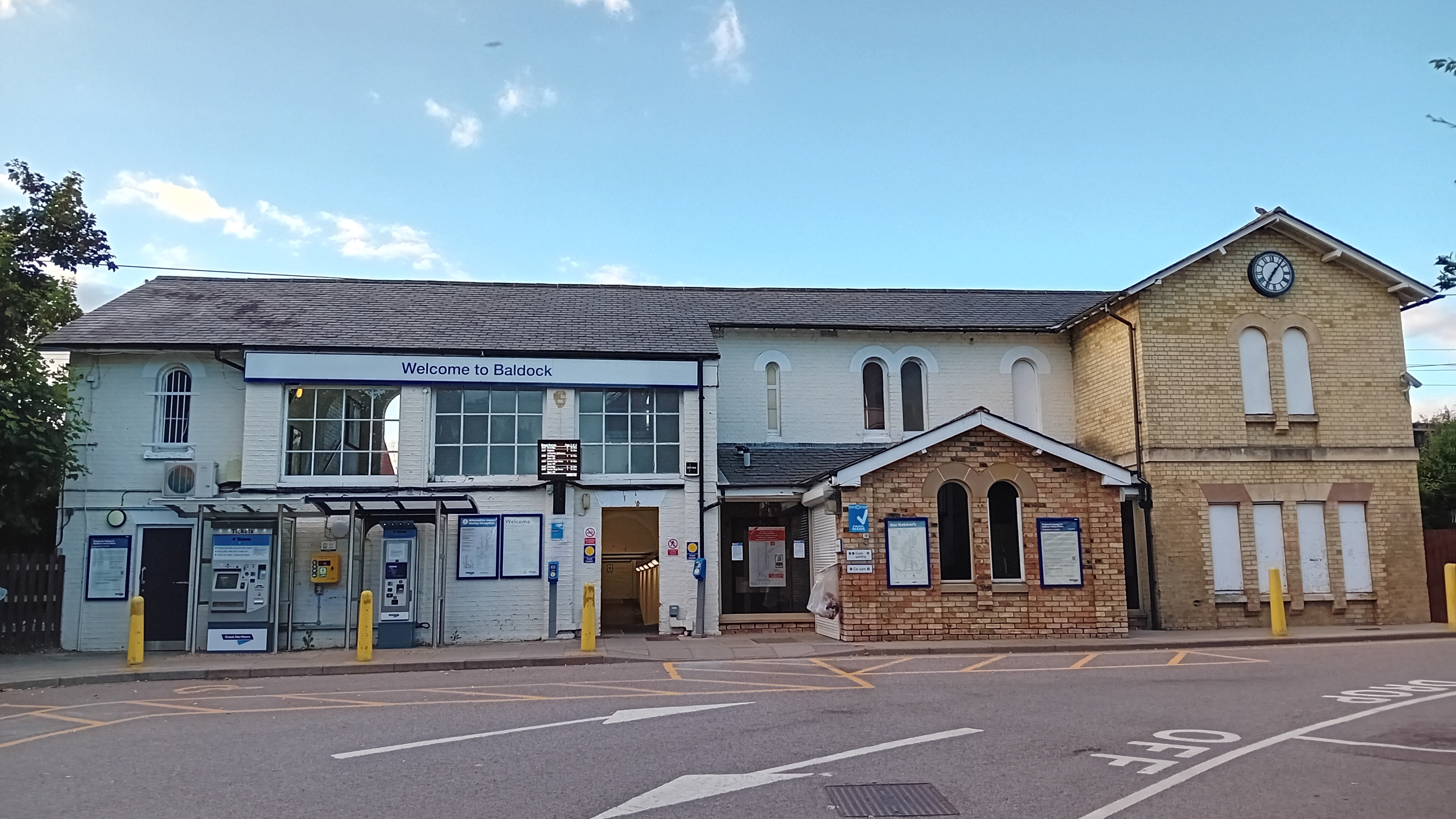
Baldock railway station
Baldock railway station serves the historic market town of Baldock in Hertfordshire, England. It is on the Cambridge Line, 36 miles 47 chains (58.9 km...
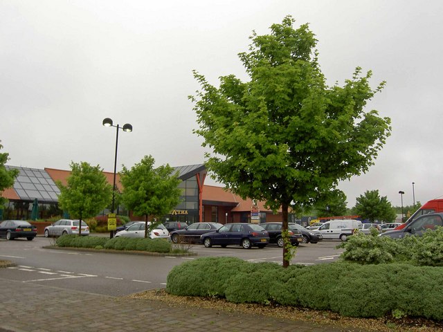
Baldock services
Baldock services is a motorway service station on the A1(M) motorway near Baldock in Hertfordshire, England. It is operated by Extra. Work on the service...

Caldecote, Hertfordshire
Caldecote is a village and civil parish in the North Hertfordshire district of Hertfordshire, England. It is located around three miles north of Baldock...
Related Videos


Sky-High Thrills at Baldock's Traveling Funfair! 🎡🚀
In this video, I'm taking you on a brief journey through a small but exhilarating place we visited recently. Despite its compact size, ...

Visit Baldock
Baldock is a historic town going back to neolithic times, but missing from the Domesday Book Located on the River Ivel in ...

NHRG e-walks, e-walk 94, Baldock circular. 3/11/21
Another decent 10 mile offering from North Herts Ramblers, on a grey, chill, November day. The GPX track actually starts in ...
Nearby Amenities
Located within 500m of 52.010405,-0.160268Have you been to Bygrave?
Leave your review of Bygrave below (or comments, questions and feedback).