Cefnperfa Wood

Wood, Forest in Montgomeryshire

Wales

Cefnperfa Wood

Blackhill Blackhill Farm.
Blackhill Credit: Peter McDermott

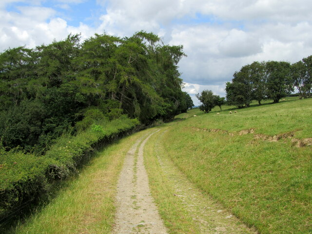
Cefnperfa Wood is a beautiful woodland located in Montgomeryshire, Wales. The wood covers an area of approximately 40 hectares and is known for its diverse range of flora and fauna. The woodland is predominantly composed of oak, beech, and birch trees, creating a lush and vibrant environment for visitors to explore.

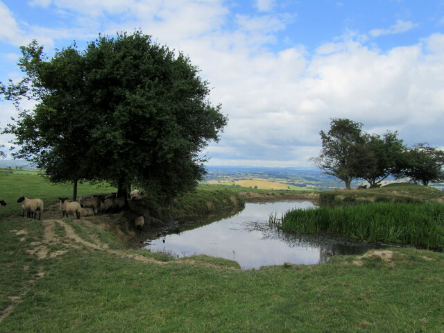
Cefnperfa Wood is a popular destination for nature enthusiasts and hikers, with a network of well-maintained trails that wind through the forest. The wood is home to a variety of wildlife, including birds, mammals, and insects, making it a haven for nature lovers and wildlife photographers.

Visitors to Cefnperfa Wood can enjoy a peaceful and serene atmosphere, with the sounds of birdsong and rustling leaves providing a tranquil backdrop to their visit. The wood is also a great place for picnics and family outings, with plenty of open spaces and picnic areas to relax and enjoy the natural surroundings.

Overall, Cefnperfa Wood is a hidden gem in Montgomeryshire, offering a peaceful retreat for those looking to connect with nature and explore the beauty of the Welsh countryside.

If you have any feedback on the listing, please let us know in the comments section below.

Cefnperfa Wood Images

Images are sourced within 2km of 52.493486/-3.2859826 or Grid Reference SO1289. Thanks to Geograph Open Source API. All images are credited.

Blackhill Blackhill Farm.
Blackhill
Blackhill Farm.
Looking towards the Newtown Bypass construction Mochdre Industrial Estate (<a href="https://www.geograph.org.uk/gridref/SO0990">SO0990</a>) just right of centre.
Looking towards the Newtown Bypass construction
Mochdre Industrial Estate (SO0990) just right of centre.
Last of the snow On the ridge road to Dolfor.
We had heavy snow falls a couple of weeks previously and I'm guessing when this road was cleared a lot was piled up in this wider spot which usually serves as a passing place. Being north facing with a bank and hedge behind it, direct sun did not play any part in shifting it.
Last of the snow
On the ridge road to Dolfor. We had heavy snow falls a couple of weeks previously and I'm guessing when this road was cleared a lot was piled up in this wider spot which usually serves as a passing place. Being north facing with a bank and hedge behind it, direct sun did not play any part in shifting it.
Texel tup On the ridge road to Dolfor.
Texel tup
On the ridge road to Dolfor.
Snow on the mountains Looking west from the ridge road to Dolfor.
Snow on the mountains
Looking west from the ridge road to Dolfor.
Ewe with twin lambs
Ewe with twin lambs
Ewe with twin lambs
Ewe with twin lambs
Ewe with twin lambs
Ewe with twin lambs
The Berwyns under snow Viewed from the ridge road to Dolfor.
The Berwyns under snow
Viewed from the ridge road to Dolfor.
The Berwyns under snow Viewed from the ridge road to Dolfor with the eastern parts of Newtown in the foreground.
Heading north, left of centre, is Llanfair Road; the big house to its right is Plas-y-Bryn. The white terraces closer to the camera are Coed y Ffridd with the Barnfields estate between the two and houses around Canal Road between Coed y Ffridd and the river which is marked by the line of trees just visible beyond the grassy slopes of the ridge.

See <a title="https://www.geograph.org.uk/photo/5966304" href="https://www.geograph.org.uk/photo/5966304">Link</a> for a closer look at the mountains.
See <a title="https://www.geograph.org.uk/photo/5966364" href="https://www.geograph.org.uk/photo/5966364">Link</a> for a closer look at the town.
The Berwyns under snow
Viewed from the ridge road to Dolfor with the eastern parts of Newtown in the foreground. Heading north, left of centre, is Llanfair Road; the big house to its right is Plas-y-Bryn. The white terraces closer to the camera are Coed y Ffridd with the Barnfields estate between the two and houses around Canal Road between Coed y Ffridd and the river which is marked by the line of trees just visible beyond the grassy slopes of the ridge. See Link for a closer look at the mountains. See Link for a closer look at the town.
Well-hidden footpaths Two footpaths leave the minor road at this gate. Neither is signposted.
Well-hidden footpaths
Two footpaths leave the minor road at this gate. Neither is signposted.
Footpath on farm track
Farm pond Providing water for sheep.
Farm pond
Providing water for sheep.
View north from the ridge-top road Between Cefn-y-faesdre and Bronyvastre. 
The town of Newtown lies in the Severn Valley below the ridge, the Berwyn Range are visible (about 26 miles away) on the horizon.
View north from the ridge-top road
Between Cefn-y-faesdre and Bronyvastre. The town of Newtown lies in the Severn Valley below the ridge, the Berwyn Range are visible (about 26 miles away) on the horizon.
Show me another place!

Cefnperfa Wood is located at Grid Ref: SO1289 (Lat: 52.493486, Lng: -3.2859826)

Unitary Authority: Powys

Police Authority: Dyfed Powys

What 3 Words

///outcasts.holiday.backfired. Near Newtown, Powys
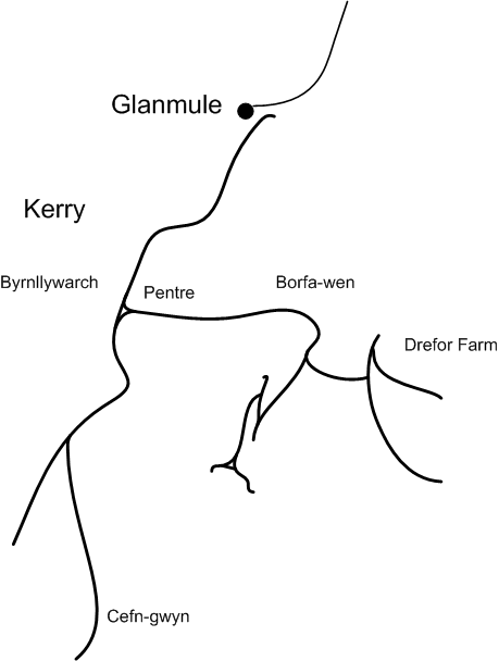
Nearby Locations

Cefnperfa Wood

Related Wikis

A489 road

The A489, officially known as the Newtown to Machynlleth Trunk Road in Wales, is a trunk road in the United Kingdom running from Craven Arms, Shropshire...

Kerry F.C. (Wales)

Kerry Football Club is a Welsh football team based in the village of Kerry, Powys, Wales. They play in the Central Wales Northern Division, which is in...

Kerry Tramway

The Kerry Tramway was a 2 ft (610 mm) narrow gauge railway built in 1887 to serve the timber workings and slab quarry to the south of the village of Kerry...

Kerry, Powys

Kerry (Welsh: Ceri) is a village and geographically large community in Montgomeryshire, Powys, Wales. The village lies on the A489 road 2.8 miles (4.5...

Nearby Amenities

Located within 500m of 52.493486,-3.2859826
The Forest
Guest House: bed_and_breakfast
Tourism: guest_house
Lat/Long: 52.4956239/-3.2805026
Place: farm
Lat/Long: 52.4939742/-3.2833225
Place: farm
Lat/Long: 52.4952153/-3.2804472
Direction: 215
Generator Method: photovoltaic
Generator Output Electricity: yes
Generator Solar Modules: 20
Generator Source: solar
Generator Type: solar_photovoltaic_panel
Location: roof
Power: generator
Lat/Long: 52.4952375/-3.2803423
The data included in this document is from www.openstreetmap.org. The data is made available under ODbL.

Have you been to Cefnperfa Wood?

Leave your review of Cefnperfa Wood below (or comments, questions and feedback).