Cae-betin Wood

Wood, Forest in Montgomeryshire

Wales

Cae-betin Wood

B4355 south of Dolfor
B4355 south of Dolfor Credit: Richard Law

The requested URL returned error: 429 Too Many Requests

If you have any feedback on the listing, please let us know in the comments section below.

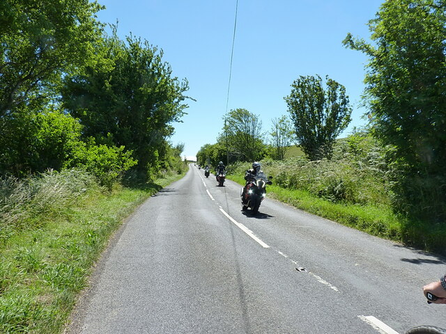
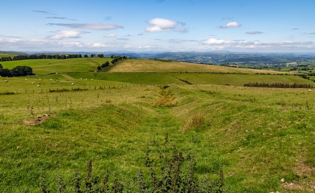
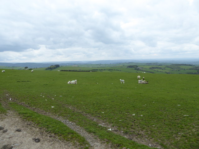
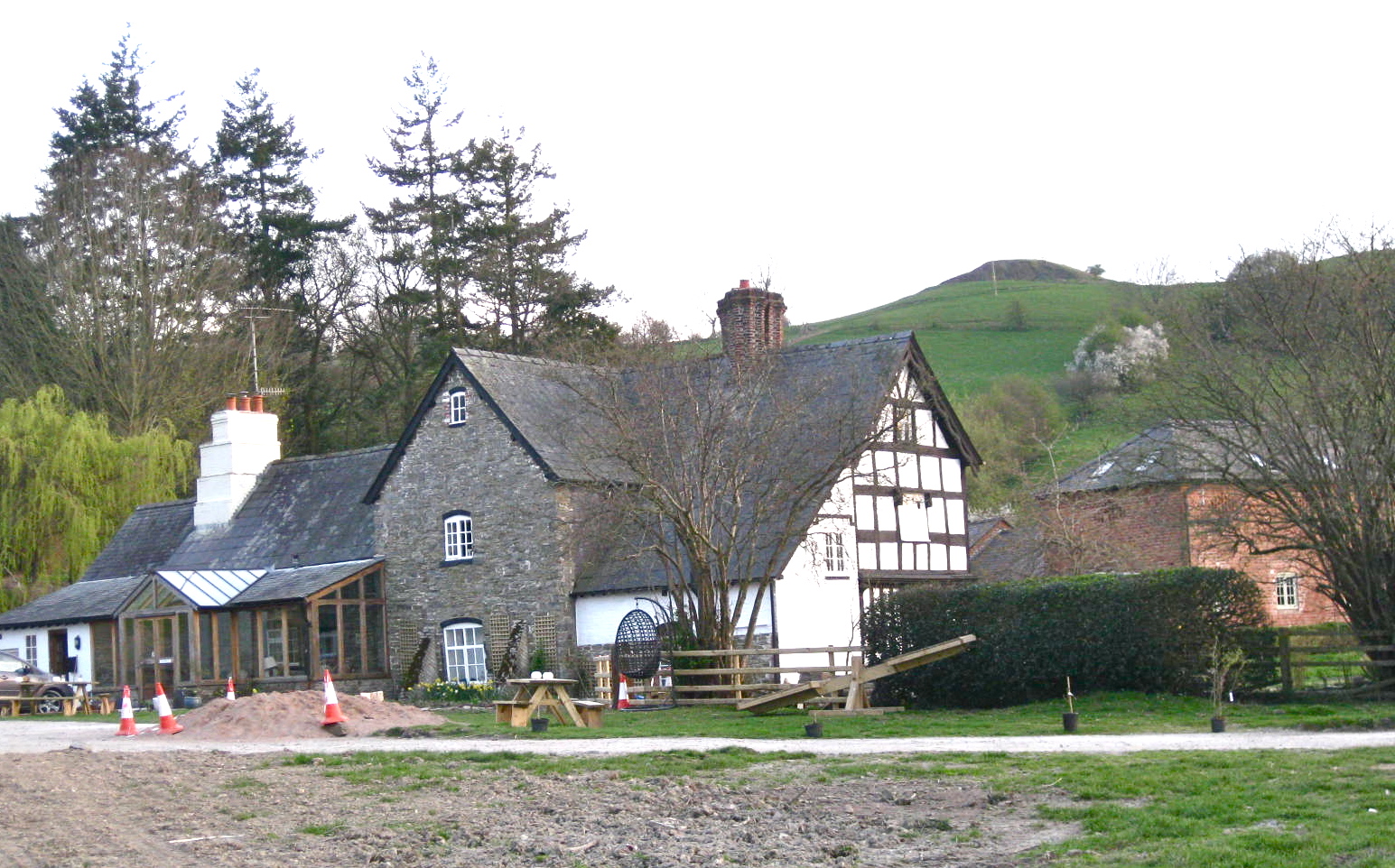
Cae-betin Wood Images

Images are sourced within 2km of 52.469331/-3.2865737 or Grid Reference SO1286. Thanks to Geograph Open Source API. All images are credited.

B4355 south of Dolfor
Motorbikes approaching the bend The leading bike is just starting to lean into the long sweeping left-hander at Cwm Mule.
Motorbikes approaching the bend
The leading bike is just starting to lean into the long sweeping left-hander at Cwm Mule.
Long straight on the B4355 A tail-end Charlie amongst a group of motorbikes, who was following his mates <a href="https://www.geograph.org.uk/photo/7224606">SO1186 : Motorbikes approaching the bend</a> into the next bend just behind me.
Long straight on the B4355
A tail-end Charlie amongst a group of motorbikes, who was following his mates SO1186 : Motorbikes approaching the bend into the next bend just behind me.
Two Tumps Viewpoint at Two Tumps.
Two Tumps
Viewpoint at Two Tumps.
Cross Dyke Looking down the Cross Dyke earthwork from the Kerry Ridgeway.
Cross Dyke
Looking down the Cross Dyke earthwork from the Kerry Ridgeway.
Source of the River Teme
Cae-betin Wood
Cae-betin Wood
Kerry Ridgeway Cattle alongside the Kerry Ridgeway at Pool Plantation.
Kerry Ridgeway
Cattle alongside the Kerry Ridgeway at Pool Plantation.
Kerry Ridgeway From the <span class="nowrap"><a title="http://www.shropshiresgreatoutdoors.co.uk/" rel="nofollow ugc noopener" href="http://www.shropshiresgreatoutdoors.co.uk/">Link</a><img style="margin-left:2px;" alt="External link" title="External link - shift click to open in new window" src="https://s1.geograph.org.uk/img/external.png" width="10" height="10"/></span> website: This ancient path is 15 miles (24 km) long, journeying from Cider House Farm, near the village of Kerry, to Bishop's Castle. It holds a long tradition as a trade and drovers’ route from Wales to the lowland English markets.

The route follows a ridgetop overlooking Wales on the one side and England on the other. It never dips below 1000 ft (300 m)above sea level, resulting in remarkable views in all directions.  The ancient pathway forges a route through heather moors, woodlands and bilberry-rich heaths.  The Kerry Ridgeway is a mix of country road, trackway and bridleway across fields and is suitable for cycling and horse riding.

The Kerry Ridgeway is one of the oldest routes in Wales and was used by drovers to drive livestock out of Wales into England.  As the name suggests it maintains high ground for its duration offering wonderful views over the surrounding border countryside as it links Powys with Shropshire. Idyllic on a fine day however no doubt it was far from pleasant in wind and rain. On a clear day it is possible to see up to 70 miles.
Kerry Ridgeway
From the LinkExternal link website: This ancient path is 15 miles (24 km) long, journeying from Cider House Farm, near the village of Kerry, to Bishop's Castle. It holds a long tradition as a trade and drovers’ route from Wales to the lowland English markets. The route follows a ridgetop overlooking Wales on the one side and England on the other. It never dips below 1000 ft (300 m)above sea level, resulting in remarkable views in all directions. The ancient pathway forges a route through heather moors, woodlands and bilberry-rich heaths. The Kerry Ridgeway is a mix of country road, trackway and bridleway across fields and is suitable for cycling and horse riding. The Kerry Ridgeway is one of the oldest routes in Wales and was used by drovers to drive livestock out of Wales into England. As the name suggests it maintains high ground for its duration offering wonderful views over the surrounding border countryside as it links Powys with Shropshire. Idyllic on a fine day however no doubt it was far from pleasant in wind and rain. On a clear day it is possible to see up to 70 miles.
On part of the Kerry Ridgeway / Ffordd Las Ceri Between Block Wood car park and Two Tumps.
On part of the Kerry Ridgeway / Ffordd Las Ceri
Between Block Wood car park and Two Tumps.
Upland meadow beside the Kerry Ridgeway / Ffordd Las Ceri With distant views.
Upland meadow beside the Kerry Ridgeway / Ffordd Las Ceri
With distant views.
On part of the Kerry Ridgeway / Ffordd Las Ceri This route is excellent.
On part of the Kerry Ridgeway / Ffordd Las Ceri
This route is excellent.
Gate into sheep pasture on the Kerry Ridgeway / Ffordd Las Ceri Through which I will pass.
Gate into sheep pasture on the Kerry Ridgeway / Ffordd Las Ceri
Through which I will pass.
Sheep pastures beside the Kerry Ridgeway Happy ewes and lambs.
Sheep pastures beside the Kerry Ridgeway
Happy ewes and lambs.
On part of the Kerry Ridgeway / Ffordd Las Ceri beside Pool Plantation Easy walking.
On part of the Kerry Ridgeway / Ffordd Las Ceri beside Pool Plantation
Easy walking.
On part of the Kerry Ridgeway / Ffordd Las Ceri Next to a little stand of woodland.
On part of the Kerry Ridgeway / Ffordd Las Ceri
Next to a little stand of woodland.
Waymarker discs on the Kerry Ridgeway / Ffordd Las Ceri These have stood the test of time.
Waymarker discs on the Kerry Ridgeway / Ffordd Las Ceri
These have stood the test of time.
Show me another place!

Cae-betin Wood is located at Grid Ref: SO1286 (Lat: 52.469331, Lng: -3.2865737)

Unitary Authority: Powys

Police Authority: Dyfed Powys

What 3 Words

///gadget.cubic.stirs. Near Newtown, Powys

Nearby Locations

Cae-betin Wood

Related Wikis

Dolfor

Dolfor is a small hamlet in the north of Powys, Wales. It is located about three miles to the south of Newtown, at the junction of the B4355 and A483 roads...

Garthmyl Hall, Berriew

Garthmyl Hall is a Grade II listed house in Berriew, in the historic county of Montgomeryshire, now Powys. The house stood close to the site of a large...

Cilthriew, Kerry (Montgomeryshire)

Cilthriew is a Grade II listed house and former farm in Kerry, Powys, in the historic county of Montgomeryshire, now Powys. Cilthriew was used by the...

Mid Wales

Mid Wales (Welsh: Canolbarth Cymru or simply Y Canolbarth, meaning "the midlands") or Central Wales is a region of Wales, encompassing its midlands, in...

Nearby Amenities

Located within 500m of 52.469331,-3.2865737
Gwernesgob
Natural: peak
Lat/Long: 52.470245/-3.2873024
The data included in this document is from www.openstreetmap.org. The data is made available under ODbL.

Have you been to Cae-betin Wood?

Leave your review of Cae-betin Wood below (or comments, questions and feedback).