Crown Wood
Wood, Forest in Flintshire
Wales
Crown Wood

Crown Wood is a beautiful forest located in the county of Flintshire, Wales. Covering an area of approximately 150 acres, it is a popular destination for nature lovers and outdoor enthusiasts. The wood is situated near the village of Buckley and is easily accessible from the nearby towns of Mold and Hawarden.
Crown Wood is predominantly made up of deciduous trees, including oak, beech, and birch, which provide a stunning display of vibrant colors during the autumn season. The forest floor is covered in a rich carpet of ferns, mosses, and wildflowers, creating a picturesque and serene environment.
Within the wood, there are several well-maintained walking trails, allowing visitors to explore the diverse flora and fauna. These trails range in difficulty, catering to both casual strollers and more adventurous hikers. Along the way, visitors may encounter a variety of wildlife, such as squirrels, foxes, and a wide array of bird species.
The management of Crown Wood places a strong emphasis on conservation and sustainability. Regular tree planting programs ensure the continued growth and preservation of the forest. Additionally, educational initiatives are in place to raise awareness about the importance of protecting natural habitats and the wildlife that resides within them.
Crown Wood offers a peaceful and tranquil escape from the hustle and bustle of everyday life. Its natural beauty and abundance of wildlife make it a must-visit destination for nature enthusiasts and those seeking a relaxing outdoor experience.
If you have any feedback on the listing, please let us know in the comments section below.
Crown Wood Images
Images are sourced within 2km of 53.280113/-3.3142954 or Grid Reference SJ1276. Thanks to Geograph Open Source API. All images are credited.


Crown Wood is located at Grid Ref: SJ1276 (Lat: 53.280113, Lng: -3.3142954)
Unitary Authority: Flintshire
Police Authority: North Wales
What 3 Words
///armrest.valued.shirt. Near Whitford, Flintshire
Nearby Locations
Related Wikis
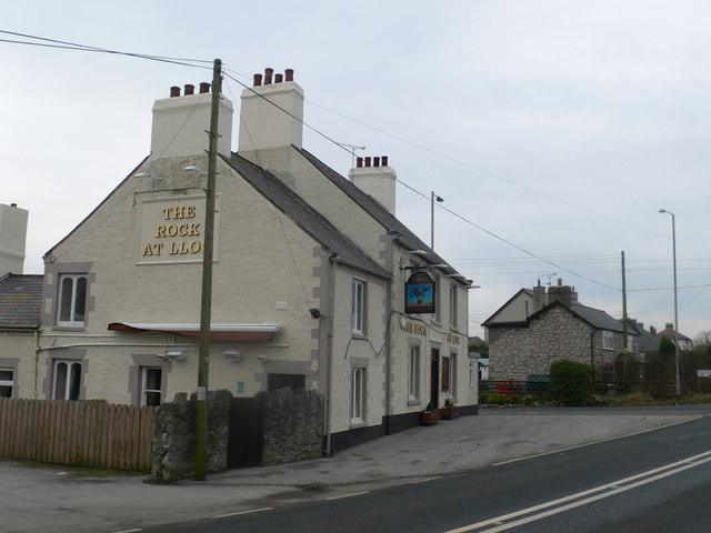
Lloc
Lloc is a small village in Flintshire, north Wales. It is located within the community of Whitford. It lies north of the Clwydian Range, just east of the...

Hendre Bach
Hendre Bach is a Site of Special Scientific Interest in the preserved county of Clwyd, north Wales. == See also == List of Sites of Special Scientific...
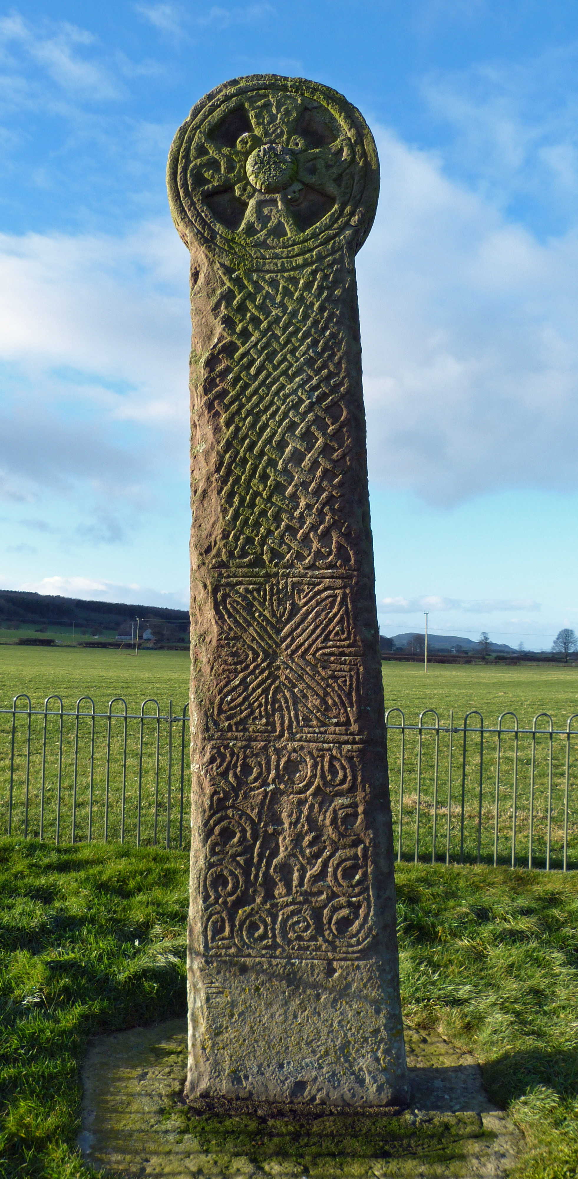
Maen Achwyfan Cross
Maen Achwyfan Cross (Welsh: Maen Achwyfan, Croes Maen Achwyfan), located near the village of Whitford, Flintshire, Wales, is a high cross dating from the...

Whitford, Flintshire
Whitford (Welsh: Chwitffordd) is a village, community and an electoral ward near Holywell in Flintshire, northeast Wales. The population of both the community...
Nearby Amenities
Located within 500m of 53.280113,-3.3142954Have you been to Crown Wood?
Leave your review of Crown Wood below (or comments, questions and feedback).