Coed Maes-mynan

Wood, Forest in Flintshire

Wales

Coed Maes-mynan

St Michael's Church, Caerwys
St Michael's Church, Caerwys Credit: Chris Andrews

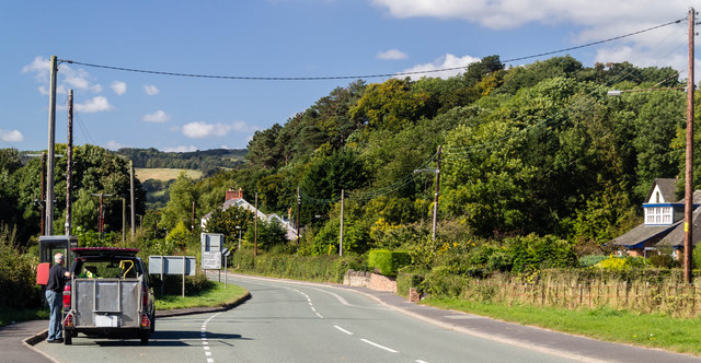
Coed Maes-mynan is a picturesque woodland located in Flintshire, Wales. Stretching over an area of approximately 100 acres, it is a popular destination for nature lovers, hikers, and birdwatchers alike.

The woodland is characterized by its diverse range of tree species, including oak, beech, and pine trees. This variety of trees creates a dense canopy, providing a cool and shaded environment even during the hottest summer months. The forest floor is covered in a thick layer of moss, adding to the enchanting atmosphere of the woodland.

Coed Maes-mynan is home to a rich array of wildlife, with several species of birds, mammals, and insects inhabiting the area. Birdwatchers can spot various species, such as woodpeckers, thrushes, and owls, while those interested in mammals may catch a glimpse of foxes, badgers, or even elusive deer.

The woodland offers a network of well-maintained trails, making it a popular spot for hiking and walking. These trails wind their way through the forest, providing visitors with stunning views of the surrounding countryside. The peaceful atmosphere and the soothing sounds of nature make Coed Maes-mynan a perfect place for relaxation and contemplation.

In addition to its natural beauty, Coed Maes-mynan also holds historical significance. The woodland has ancient roots, with evidence of human activity dating back thousands of years. Archaeological discoveries, such as stone tools and burial mounds, have been found within the forest, providing a glimpse into the area's past.

Overall, Coed Maes-mynan is a captivating woodland that offers a tranquil escape from the hustle and bustle of everyday life. Its natural beauty, diverse wildlife, and historical significance make it a must-visit destination for nature enthusiasts and history buffs alike.

If you have any feedback on the listing, please let us know in the comments section below.

Coed Maes-mynan Images

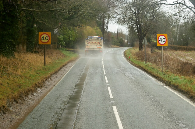
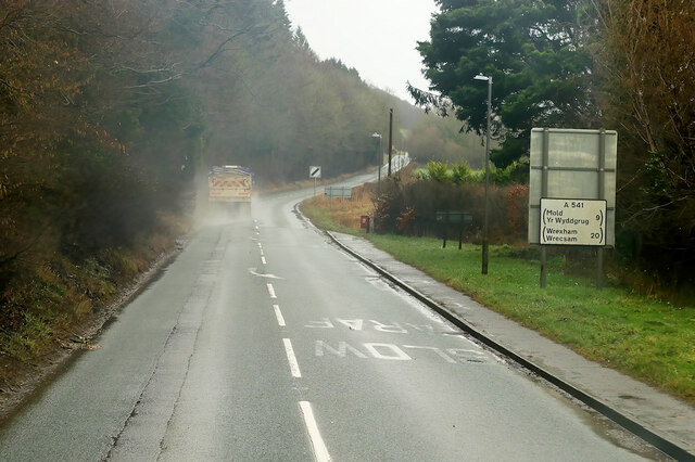
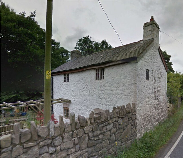
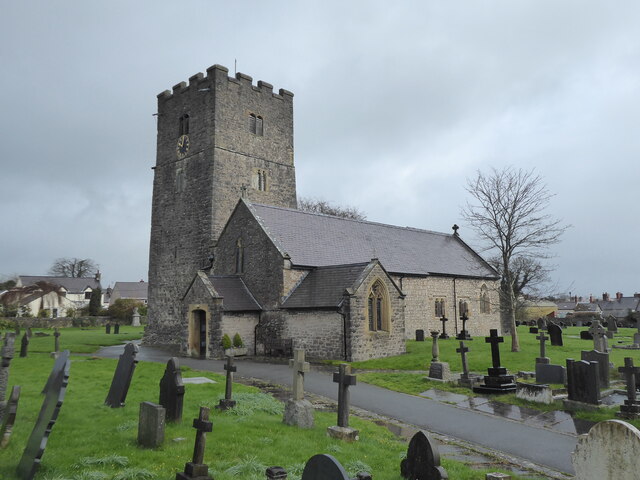
Images are sourced within 2km of 53.242004/-3.3201854 or Grid Reference SJ1172. Thanks to Geograph Open Source API. All images are credited.

St Michael's Church, Caerwys
Pwll Gwyn, Afon-wen
Pwll Gwyn, Afon-wen
A541 north of Bodfari The A541 runs for 26 miles, linking St Asaph with Wrexham. Its northern end starts at the crossroads in the middle of the village of Trefnant (just south of St Asaph). It ends at Wrexham, where it joins the B5101 road. On the way, it passes the town of Mold and also passes through many villages.
A541 north of Bodfari
The A541 runs for 26 miles, linking St Asaph with Wrexham. Its northern end starts at the crossroads in the middle of the village of Trefnant (just south of St Asaph). It ends at Wrexham, where it joins the B5101 road. On the way, it passes the town of Mold and also passes through many villages.
A541 near Maes-Mynan Park The A541 runs for 26 miles, linking St Asaph with Wrexham. Its northern end starts at the crossroads in the middle of the village of Trefnant (just south of St Asaph). It ends at Wrexham, where it joins the B5101 road. On the way, it passes the town of Mold and also passes through many villages.
A541 near Maes-Mynan Park
The A541 runs for 26 miles, linking St Asaph with Wrexham. Its northern end starts at the crossroads in the middle of the village of Trefnant (just south of St Asaph). It ends at Wrexham, where it joins the B5101 road. On the way, it passes the town of Mold and also passes through many villages.
A541 approaching Afon-Wen The A541 runs for 26 miles, linking St Asaph with Wrexham. Its northern end starts at the crossroads in the middle of the village of Trefnant (just south of St Asaph). It ends at Wrexham, where it joins the B5101 road. On the way, it passes the town of Mold and also passes through many villages.
A541 approaching Afon-Wen
The A541 runs for 26 miles, linking St Asaph with Wrexham. Its northern end starts at the crossroads in the middle of the village of Trefnant (just south of St Asaph). It ends at Wrexham, where it joins the B5101 road. On the way, it passes the town of Mold and also passes through many villages.
A541 at Afonwen Afonwen is a small village in Flintshire. It is situated on the A541 Mold-Denbigh road.
A541 at Afonwen
Afonwen is a small village in Flintshire. It is situated on the A541 Mold-Denbigh road.
Formr Toll House, Caerwys On the south side of the A451, now called Baw Bee Cottage. Of the Pwll Budr
 style or toll houses, in the parish of Bodfari.

Milestone Society National ID: FLT.BOD
Formr Toll House, Caerwys
On the south side of the A451, now called Baw Bee Cottage. Of the Pwll Budr style or toll houses, in the parish of Bodfari. Milestone Society National ID: FLT.BOD
Caerwys, St Michael
Caerwys, St Michael
Flintshire boundary sign on the A541
A541 near Afonwen
A541 near Afonwen
A541 at  Afonwen
A541 at Afonwen
Former Caerwys station, 1986 View westward, towards Denbigh: ex-LNW Chester - Mold - Denbigh line, closed 30/4/62. It seems that the new owners may have been timber-merchants.
Former Caerwys station, 1986
View westward, towards Denbigh: ex-LNW Chester - Mold - Denbigh line, closed 30/4/62. It seems that the new owners may have been timber-merchants.
South Street, Caerwys Although only really a village, Caerwys proudly claims itself to be the smallest town in Great Britain with a royal charter - and indeed it does have a town council and its own mayor.
South Street, Caerwys
Although only really a village, Caerwys proudly claims itself to be the smallest town in Great Britain with a royal charter - and indeed it does have a town council and its own mayor.
Fish Farm Buildings - Caerwys Old farm buildings now used as a fish farm
Fish Farm Buildings - Caerwys
Old farm buildings now used as a fish farm
Afon-wen Houses at Afon-wen.
Afon-wen
Houses at Afon-wen.
Afon-wen The A541 at Afon-wen.
Afon-wen
The A541 at Afon-wen.
Arwyddion ffordd yn troi / Bend in road signs
Neuadd Dref Caersws / Caersws Town Hall
Show me another place!

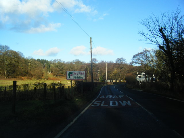
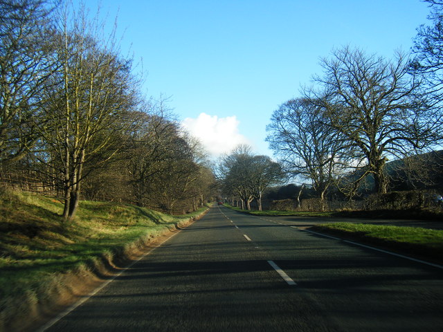
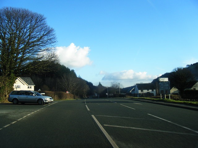
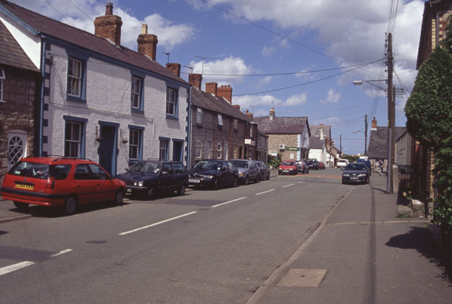
Coed Maes-mynan is located at Grid Ref: SJ1172 (Lat: 53.242004, Lng: -3.3201854)

Unitary Authority: Flintshire

Police Authority: North Wales

What 3 Words

///ramming.start.decently. Near Whitford, Flintshire

Nearby Locations

Coed Maes-mynan

Related Wikis

Caerwys

Caerwys is a town in Flintshire, Wales. It is just under two miles from the A55 North Wales Expressway and one mile from the A541 Mold-Denbigh road. At...

Caerwys Tufa

Caerwys Tufa is a Site of Special Scientific Interest in the preserved county of Clwyd, north Wales. Tufa, a very soft limestone that was once used to...

Caerwys railway station

Caerwys railway station was a station in Afonwen, Flintshire, Wales. The station was named for nearby Caerwys, opened on 6 September 1869 and closed on...

Afonwen

Afonwen ([ˌavɔnˈwɛn]; Welsh: Afon-wen) is a village in Flintshire, Wales. It is situated just under four miles from the A55 North Wales Expressway and...

Nearby Amenities

Located within 500m of 53.242004,-3.3201854
Power: pole
Lat/Long: 53.2458467/-3.3222959
Power: pole
Lat/Long: 53.2452421/-3.3205251
Power: pole
Lat/Long: 53.2402584/-3.3268598
Power: pole
Lat/Long: 53.2399081/-3.3260772
Power: pole
Lat/Long: 53.2395596/-3.32527
Power: pole
Lat/Long: 53.2396241/-3.3244935
Power: pole
Lat/Long: 53.2392977/-3.3234984
Power: pole
Lat/Long: 53.2389824/-3.3226018
Power: pole
Lat/Long: 53.2390831/-3.314811
Power: pole
Lat/Long: 53.2391347/-3.3159664
Power: pole
Lat/Long: 53.2391826/-3.3171495
Power: pole
Lat/Long: 53.2392416/-3.3184066
Power: pole
Lat/Long: 53.2392969/-3.3196051
Power: pole
Lat/Long: 53.2447617/-3.3190683
The data included in this document is from www.openstreetmap.org. The data is made available under ODbL.

Have you been to Coed Maes-mynan?

Leave your review of Coed Maes-mynan below (or comments, questions and feedback).