Glol
Wood, Forest in Flintshire
Wales
Glol

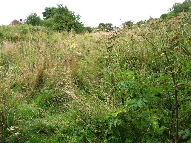
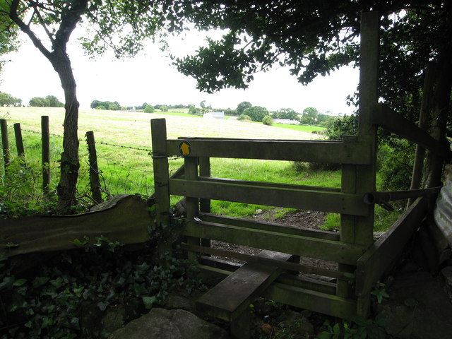
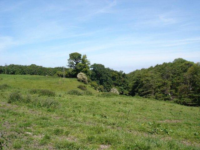
Glol is a small village located in the county of Flintshire, Wales. Situated in the heart of a woodland area, it is often referred to as Glol Wood or Glol Forest due to the abundance of lush greenery surrounding the village. Glol is nestled amidst rolling hills and picturesque landscapes, making it an ideal destination for nature enthusiasts and outdoor lovers.
The village itself is quaint and peaceful, with a close-knit community that takes pride in its natural surroundings. The houses in Glol are mostly traditional, reflecting the village's rich history and heritage. Residents here enjoy a serene and tranquil lifestyle, far away from the hustle and bustle of the city.
Glol is known for its beautiful walking trails, which wind through the forest and offer breathtaking views of the countryside. These trails attract both locals and tourists who come to immerse themselves in the beauty of nature. The forest is also home to a diverse range of flora and fauna, making it a haven for wildlife enthusiasts and birdwatchers.
In addition to its natural beauty, Glol also has a rich cultural heritage. The village hosts various events throughout the year, including music festivals and traditional Welsh celebrations, which provide a glimpse into the local traditions and customs.
Overall, Glol, Flintshire (Wood, Forest) is a hidden gem in Wales, offering a peaceful escape for those seeking to reconnect with nature. With its stunning woodland scenery and warm community spirit, it is a place that captivates the hearts of all who visit.
If you have any feedback on the listing, please let us know in the comments section below.
Glol Images
Images are sourced within 2km of 53.293772/-3.3228467 or Grid Reference SJ1178. Thanks to Geograph Open Source API. All images are credited.


Glol is located at Grid Ref: SJ1178 (Lat: 53.293772, Lng: -3.3228467)
Unitary Authority: Flintshire
Police Authority: North Wales
What 3 Words
///opts.heat.divided. Near Whitford, Flintshire
Nearby Locations
Related Wikis
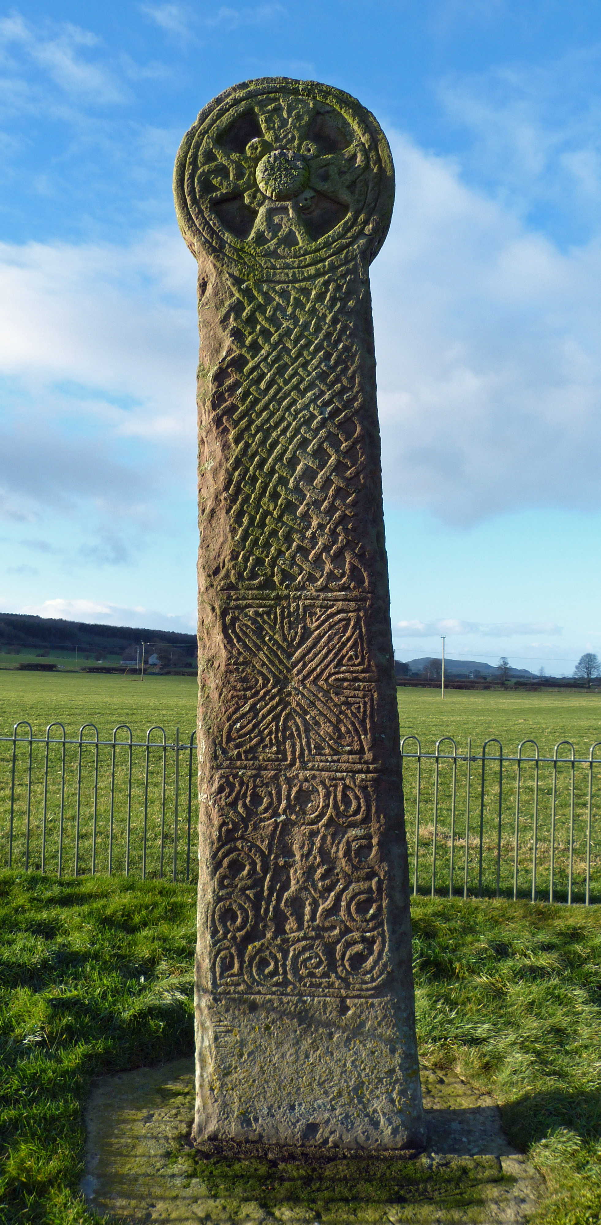
Maen Achwyfan Cross
Maen Achwyfan Cross (Welsh: Maen Achwyfan, Croes Maen Achwyfan), located near the village of Whitford, Flintshire, Wales, is a high cross dating from the...
Trelogan
Trelogan is a village in Flintshire, north east Wales. It is located between Mostyn and Trelawnyd and is almost contiguous with Berthengam. Trelogan had...

Hendre Bach
Hendre Bach is a Site of Special Scientific Interest in the preserved county of Clwyd, north Wales. == See also == List of Sites of Special Scientific...

Whitford, Flintshire
Whitford (Welsh: Chwitffordd) is a village, community and an electoral ward near Holywell in Flintshire, northeast Wales. The population of both the community...
Nearby Amenities
Located within 500m of 53.293772,-3.3228467Have you been to Glol?
Leave your review of Glol below (or comments, questions and feedback).