Coed Bryncaemaeshir

Wood, Forest in Montgomeryshire

Wales

Coed Bryncaemaeshir

Sheep fields, south of Birch House On the east side of the B4389.
Sheep fields, south of Birch House Credit: Christine Johnstone

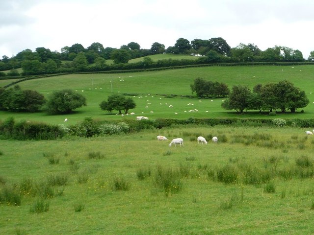
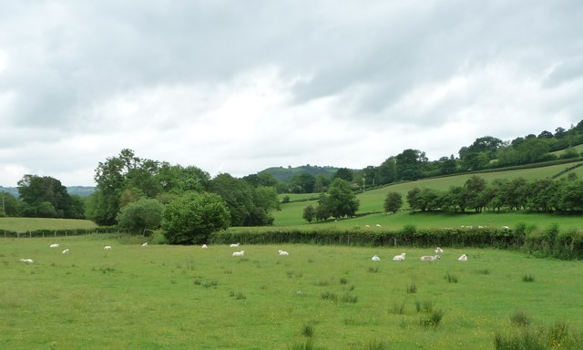
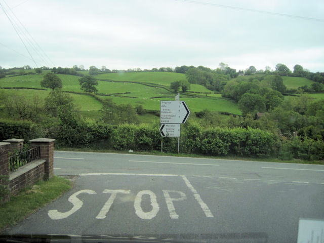
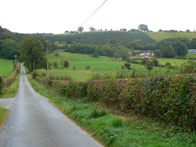
Coed Bryncaemaeshir is a woodland area located in Montgomeryshire, Wales. The forest covers approximately 300 acres and is home to a variety of tree species, including oak, beech, and ash. The woodland is a popular destination for nature lovers and hikers, offering a peaceful and scenic environment for outdoor activities.

Coed Bryncaemaeshir is also home to a diverse range of wildlife, with sightings of deer, foxes, and various bird species common within the forest. The woodland is well-maintained, with designated footpaths and trails for visitors to explore and enjoy the natural beauty of the area.

The forest is managed by the local authorities and efforts are made to preserve the biodiversity and ecological balance of the woodland. Coed Bryncaemaeshir is an important natural habitat and provides a valuable resource for the local community and visitors alike.

Overall, Coed Bryncaemaeshir offers a tranquil and immersive experience in nature, with its lush vegetation, wildlife sightings, and well-maintained trails making it a popular destination for outdoor enthusiasts and those seeking to connect with the natural world.

If you have any feedback on the listing, please let us know in the comments section below.

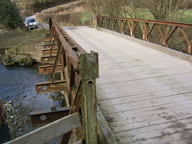
Coed Bryncaemaeshir Images

Images are sourced within 2km of 52.591273/-3.307504 or Grid Reference SJ1100. Thanks to Geograph Open Source API. All images are credited.

Sheep fields, south of Birch House On the east side of the B4389.
Sheep fields, south of Birch House
On the east side of the B4389.
Sheep pasture in the valley of Dolgar Brook Looking east from the B4389.
Sheep pasture in the valley of Dolgar Brook
Looking east from the B4389.
Road junction at New Mills B4389 joins the B4390 here. Viewed from B4389
Road junction at New Mills
B4389 joins the B4390 here. Viewed from B4389
Road junction at Birch House On B4389 north towards New Mills
Road junction at Birch House
On B4389 north towards New Mills
Road junction at New Mills
Meadow beside the Rhiw, New Mills Just south of the village.
Meadow beside the Rhiw, New Mills
Just south of the village.
River Rhiw On the outskirts of New Mills/ Fefin Newydd
River Rhiw
On the outskirts of New Mills/ Fefin Newydd
Stable and paddock above New Mills
Bailey Bridge at Manafon-llan Early type Bailey across the River Rhiw by a Mill
Bailey Bridge at Manafon-llan
Early type Bailey across the River Rhiw by a Mill
Trees in a meadow On rising ground near spot height 178.
Trees in a meadow
On rising ground near spot height 178.
B4389 passing Tynthewyn Looking towards New Mills. In the distance can be seen the road sign for a left turn
B4389 passing Tynthewyn
Looking towards New Mills. In the distance can be seen the road sign for a left turn
B4389 heading north The road from Tregynon to Llanfair Caereinion.
B4389 heading north
The road from Tregynon to Llanfair Caereinion.
Sheep pasture, north of Brook Villa On the west side of the road from Tregynon.
Sheep pasture, north of Brook Villa
On the west side of the road from Tregynon.
Sheep and trees, north of Brook Villa On the west side of the road from Tregynon.
Sheep and trees, north of Brook Villa
On the west side of the road from Tregynon.
Rounded hillside between Brook Villa and Llwynmelyn On the west side of the road from Tregynon.
Rounded hillside between Brook Villa and Llwynmelyn
On the west side of the road from Tregynon.
B4389 heading south The road from Llanfair Caereinion to Tregynon, approaching Brook Villa.
B4389 heading south
The road from Llanfair Caereinion to Tregynon, approaching Brook Villa.
B4390 through New Mills Heading towards Manafon
B4390 through New Mills
Heading towards Manafon
Entrance to Fron-heulog from B4390
Show me another place!

Coed Bryncaemaeshir is located at Grid Ref: SJ1100 (Lat: 52.591273, Lng: -3.307504)

Unitary Authority: Powys

Police Authority: Dyfed Powys

What 3 Words

///cooked.match.hairstyle. Near Llanfair Caereinion, Powys

Nearby Locations

Coed Bryncaemaeshir

Related Wikis

Stingwern Hill

Stingwern Hill, or ‘the Stingwern’ is a marilyn near Manafon in Mid Wales. Its summit is approximately 358 metres (1,175 ft) above sea level and has a...

Tregynon

Tregynon is a small village and community in Montgomeryshire, Powys, Wales, to the north of Newtown and south west of Welshpool. The population of the...

Manafon

Manafon is a small rural community located in the hills of Montgomeryshire, the Northern part of the Welsh county of Powys. The Parish focuses on the valley...

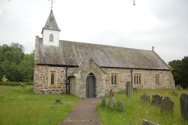
St Michael's Church, Manafon

St Michael's Church is in the small village of Manafon, Powys, Wales. It is an active Anglican church in the parish of Llanfair Caereinion, Llanllugan...

Nearby Amenities

Located within 500m of 52.591273,-3.307504
Cefngwernfa
Place: farm
Lat/Long: 52.5926848/-3.3119881
Ty-gwellt
Place: farm
Lat/Long: 52.5891786/-3.3106613
The data included in this document is from www.openstreetmap.org. The data is made available under ODbL.

Have you been to Coed Bryncaemaeshir?

Leave your review of Coed Bryncaemaeshir below (or comments, questions and feedback).