Bwlchyllyn
Settlement in Caernarfonshire
Wales
Bwlchyllyn

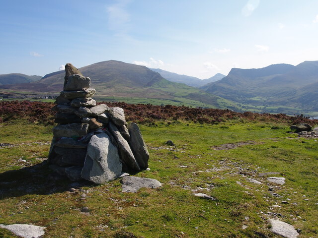
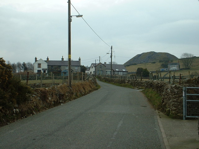
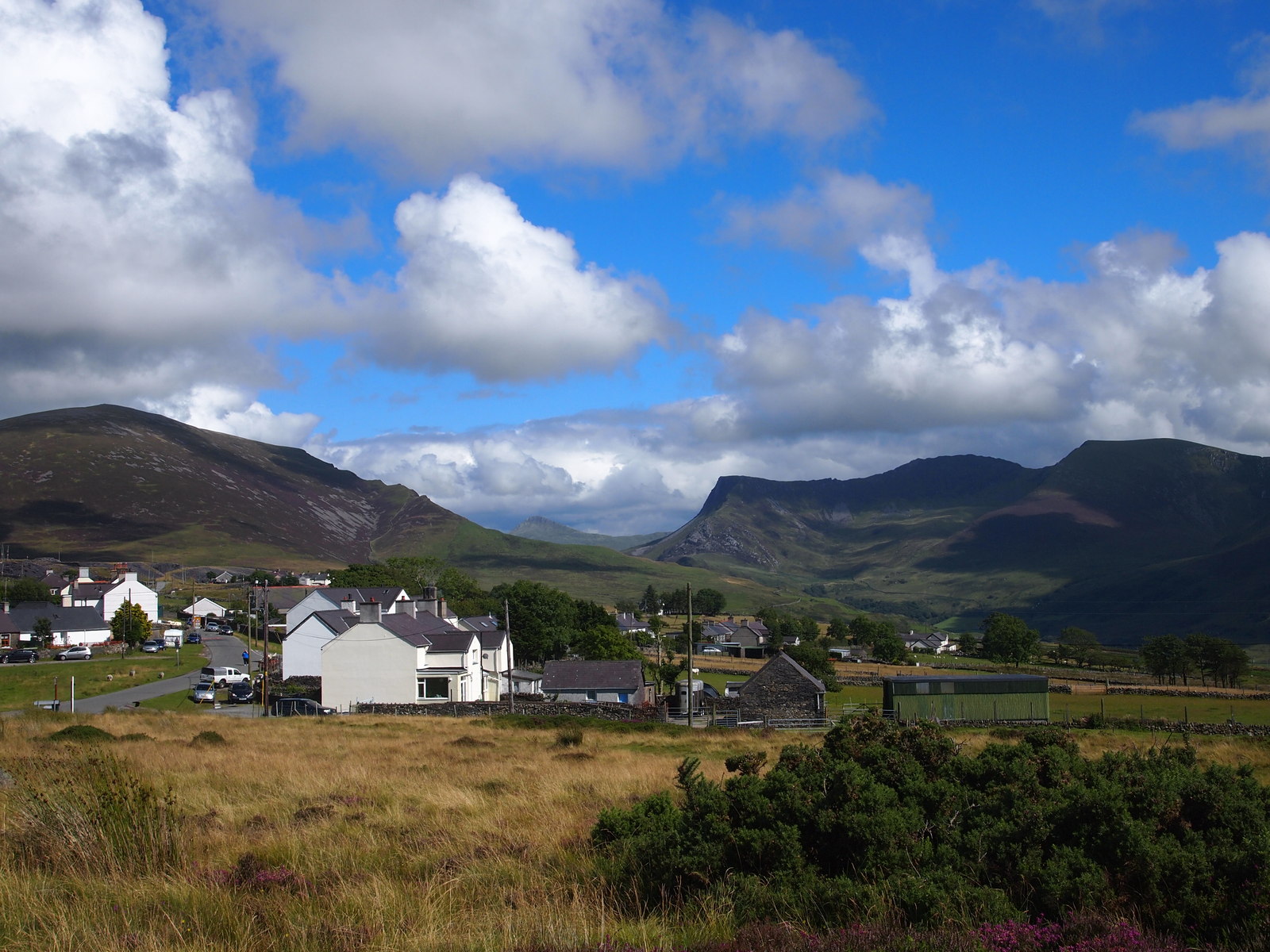
Bwlchyllyn is a small village located in the historic county of Caernarfonshire, Wales. Situated within the stunning Snowdonia National Park, it is nestled between the picturesque mountains of Eifionydd, making it a popular destination for nature lovers and outdoor enthusiasts.
The village is surrounded by breathtaking landscapes, with its elevated position providing panoramic views of the surrounding countryside. It is known for its tranquil atmosphere and natural beauty, offering a peaceful retreat for those seeking relaxation and a break from the bustling city life.
Despite its small size, Bwlchyllyn boasts a rich history. The area has been inhabited since ancient times, and evidence of early settlements can still be found in the form of ancient burial mounds and standing stones scattered throughout the region. The village itself has a charming collection of traditional stone cottages, which add to its quaint and rustic appeal.
Outdoor activities are abundant in Bwlchyllyn, with hiking and mountain biking being popular pursuits among visitors. The nearby mountains provide numerous trails and paths for exploration, leading to breathtaking viewpoints and hidden gems waiting to be discovered. The village is also a gateway to the legendary Mount Snowdon, the highest peak in Wales, attracting climbers and adventurers from far and wide.
Although Bwlchyllyn is a small village, it is not far from larger towns and amenities. The nearby town of Caernarfon offers a range of shops, restaurants, and cultural attractions, including the iconic Caernarfon Castle, a UNESCO World Heritage site.
Overall, Bwlchyllyn is an idyllic village that offers a unique combination of natural beauty, historical significance, and outdoor adventure. It is a place where visitors can immerse themselves in the tranquility of the Welsh countryside while exploring the rich heritage of the region.
If you have any feedback on the listing, please let us know in the comments section below.
Bwlchyllyn Images
Images are sourced within 2km of 53.071114/-4.2403481 or Grid Reference SH5055. Thanks to Geograph Open Source API. All images are credited.


Bwlchyllyn is located at Grid Ref: SH5055 (Lat: 53.071114, Lng: -4.2403481)
Unitary Authority: Gwynedd
Police Authority: North Wales
What 3 Words
///cheeses.parks.leathers. Near Talysarn, Gwynedd
Nearby Locations
Related Wikis
Carmel, Gwynedd
Carmel is a small village near Y Fron in Gwynedd, north-west Wales. The village is built up mainly of Victorian homes, with a more modern area. The village...
Y Fron
Y Fron, also known locally as Cesarea, after the chapel, is a country village on the south-west side of Moel Tryfan, overlooking the Nantlle Valley, in...

Ysgol Bronyfoel
Ysgol Bronyfoel was a Welsh daily co-educational primary school. The school was situated in the centre of the village Y Fron, Gwynedd, North Wales. It...
Bryngwyn railway station
Bryngwyn railway station is a former station which was the terminus for passengers on the Bryngwyn Branch of the North Wales Narrow Gauge Railways, and...
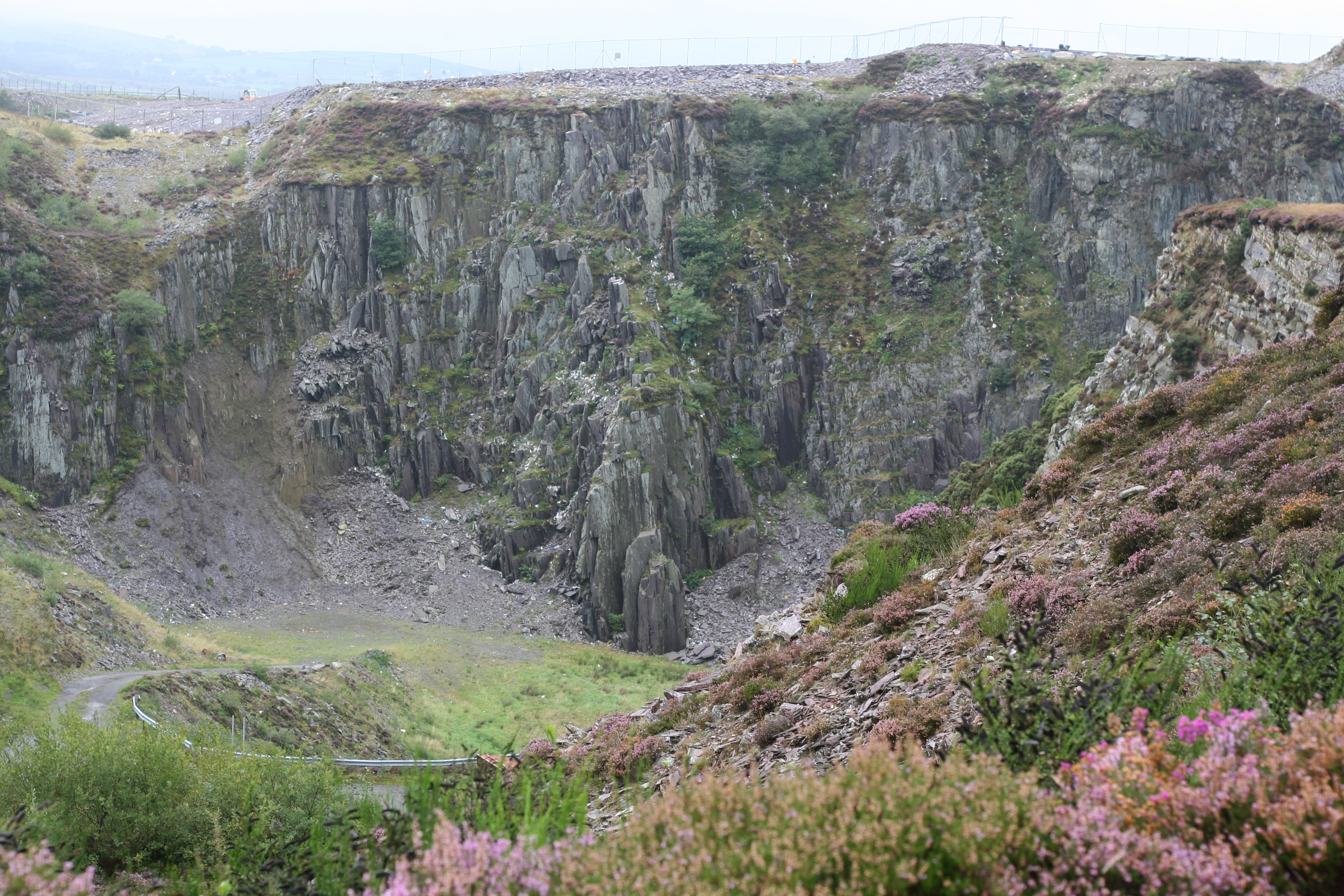
Cilgwyn quarry
Cilgwyn quarry is a slate quarry located on the north edge of the Nantlle Vale, in North Wales. It is one of the earliest slate quarries in Great Britain...
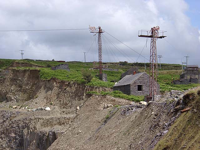
Pen-yr-Orsedd quarry
Pen-yr-Orsedd quarry was a slate quarry in the Nantlle Valley in North Wales. It was one of the last slate quarries operating in North Wales and the last...
Moel Tryfan
Moel Tryfan (429 m / 1407 ft) is a small mountain near the villages of Rhosgadfan, Y Fron and Betws Garmon, in northern Gwynedd. The higher and more famous...

Nantlle
Nantlle () is a small village in the slate quarrying Nantlle Valley in Gwynedd, Wales. It lies on the north shore of Llyn Nantlle Uchaf and is part of...
Nearby Amenities
Located within 500m of 53.071114,-4.2403481Have you been to Bwlchyllyn?
Leave your review of Bwlchyllyn below (or comments, questions and feedback).