Coed Shepherd
Wood, Forest in Flintshire
Wales
Coed Shepherd
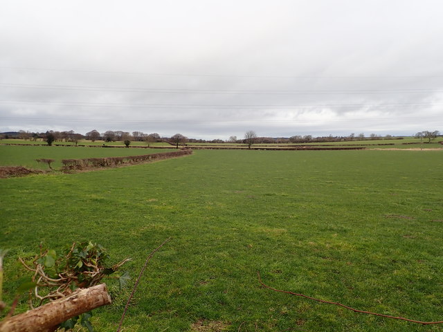
Coed Shepherd is a tranquil and picturesque woodland area located in Flintshire, Wales. Nestled amidst the stunning landscape of North Wales, this woodland offers a serene retreat for nature enthusiasts and outdoor lovers alike.
Spread across a vast area, Coed Shepherd is primarily known for its dense forest and lush greenery. The woodland is home to a wide variety of tree species, including oak, beech, and birch, creating a diverse and vibrant ecosystem. The forest floor is carpeted with an array of wildflowers, adding bursts of color to the surroundings.
The woodland is crisscrossed by numerous walking trails that wind their way through the trees, providing visitors with the opportunity to explore and immerse themselves in nature. These trails are well-maintained and offer varying levels of difficulty, catering to both casual strollers and avid hikers.
Coed Shepherd also boasts a rich wildlife population, with an abundance of birds, mammals, and insects calling the woodland home. Birdwatchers can spot a range of species, including woodpeckers, owls, and various songbirds. Squirrels, rabbits, and even occasional deer can be glimpsed among the trees.
For those seeking a peaceful escape from the hustle and bustle of daily life, Coed Shepherd offers a tranquil setting for picnics, meditation, and relaxation. The calming ambience of the woodland, coupled with the gentle sounds of nature, provides a perfect space for unwinding and rejuvenating.
Visitors to Coed Shepherd can also enjoy camping facilities, allowing them to spend a night under the stars and truly immerse themselves in the natural beauty of the area. The woodland is easily accessible by car, with ample parking available, making it a convenient destination for day trips or longer stays.
In summary, Coed Shepherd in Flintshire is a beautiful woodland retreat that offers a peaceful and enchanting experience for nature lovers. With its diverse flora and fauna, well-maintained trails, and serene atmosphere, it
If you have any feedback on the listing, please let us know in the comments section below.
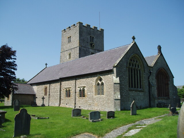
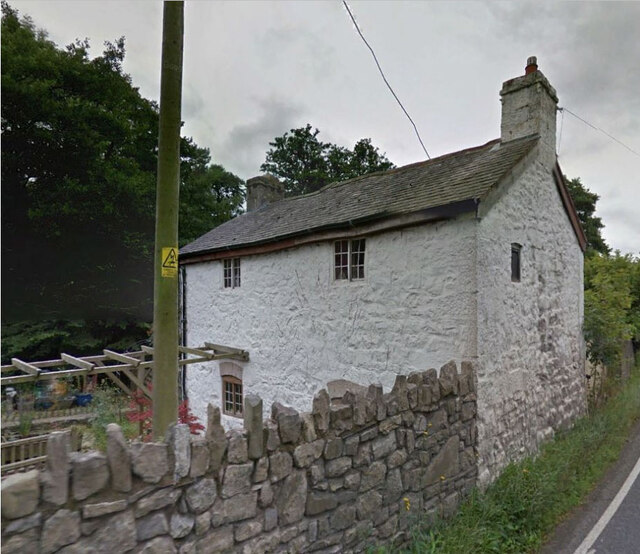
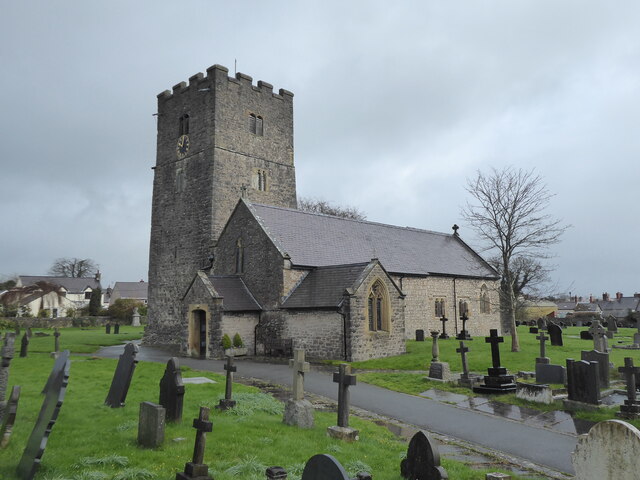
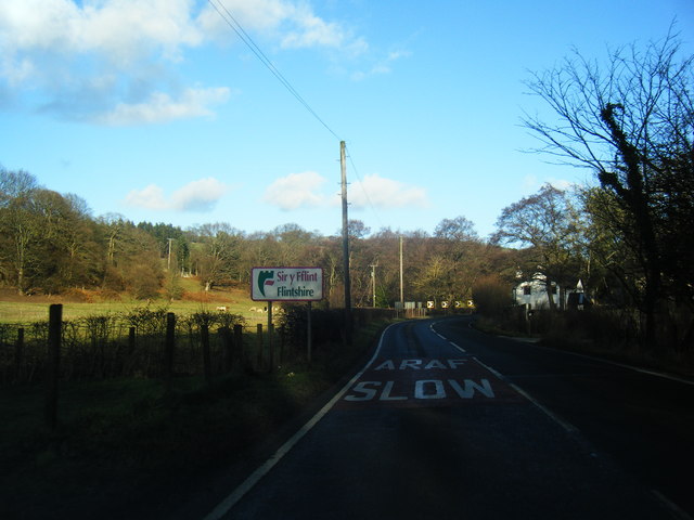
Coed Shepherd Images
Images are sourced within 2km of 53.253814/-3.3341596 or Grid Reference SJ1173. Thanks to Geograph Open Source API. All images are credited.


Coed Shepherd is located at Grid Ref: SJ1173 (Lat: 53.253814, Lng: -3.3341596)
Unitary Authority: Flintshire
Police Authority: North Wales
What 3 Words
///design.insiders.louder. Near Whitford, Flintshire
Nearby Locations
Related Wikis

Caerwys
Caerwys is a town in Flintshire, Wales. It is just under two miles from the A55 North Wales Expressway and one mile from the A541 Mold-Denbigh road. At...

Caerwys Tufa
Caerwys Tufa is a Site of Special Scientific Interest in the preserved county of Clwyd, north Wales. Tufa, a very soft limestone that was once used to...
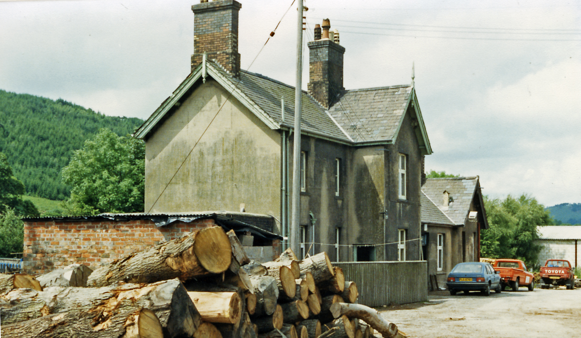
Caerwys railway station
Caerwys railway station was a station in Afonwen, Flintshire, Wales. The station was named for nearby Caerwys, opened on 6 September 1869 and closed on...
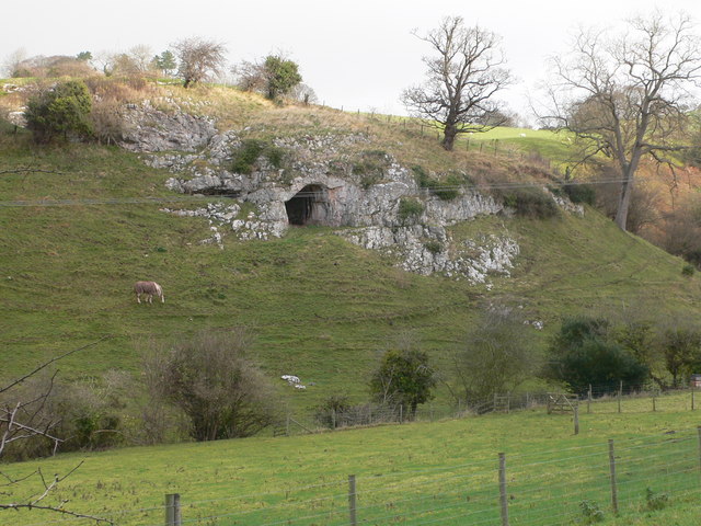
Ffynnon Beuno and Cae Gwyn Caves
Ffynnon Beuno and Cae Gwyn Caves are two Scheduled Ancient Monuments, in Denbighshire, Wales, which are also designated a Site of Special Scientific Interest...
Nearby Amenities
Located within 500m of 53.253814,-3.3341596Have you been to Coed Shepherd?
Leave your review of Coed Shepherd below (or comments, questions and feedback).