Cil-haul Wood
Wood, Forest in Montgomeryshire
Wales
Cil-haul Wood

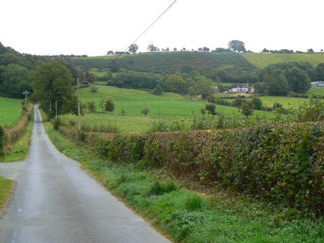
Cil-haul Wood, located in Montgomeryshire, is a stunning and ancient forest that is rich in natural beauty and historical significance. Covering an area of approximately 100 acres, this wood is a haven for nature enthusiasts and those seeking tranquility amidst the Welsh countryside.
The wood is predominantly composed of deciduous trees, including oak, beech, and birch, which create a diverse and vibrant ecosystem. These trees provide shelter and food for a wide range of wildlife, including birds, mammals, and insects. The forest floor is adorned with an array of wildflowers and ferns, further enhancing its natural charm.
One of the notable features of Cil-haul Wood is its age. It has been estimated that parts of the wood date back several centuries, making it a living testament to the region's history. The ancient trees and the sense of timelessness they evoke create an enchanting atmosphere for visitors to explore and appreciate.
The wood is crisscrossed by a network of walking trails, allowing visitors to immerse themselves in its beauty while enjoying leisurely strolls or more challenging hikes. These paths lead to picturesque viewpoints, where one can marvel at the surrounding countryside and take in breathtaking vistas.
Cil-haul Wood is also home to a variety of archaeological sites, including remnants of ancient settlements and burial grounds. These historical features add an extra layer of intrigue to the wood, allowing visitors to delve deeper into the area's past.
Overall, Cil-haul Wood is a captivating destination for nature lovers and history enthusiasts alike. Its combination of natural beauty, ancient trees, and historical significance make it a truly unique and memorable place to visit in Montgomeryshire.
If you have any feedback on the listing, please let us know in the comments section below.
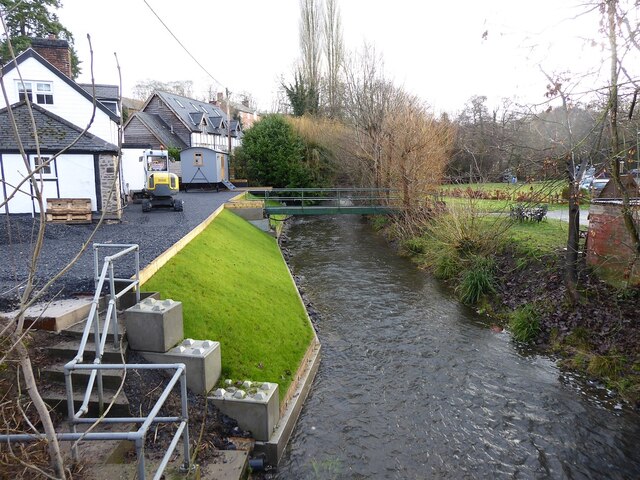
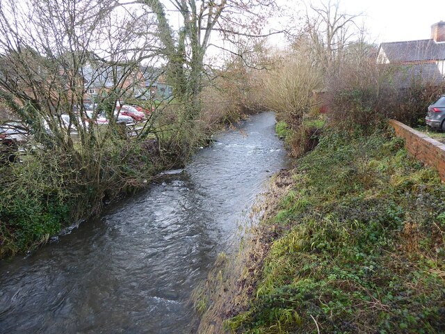
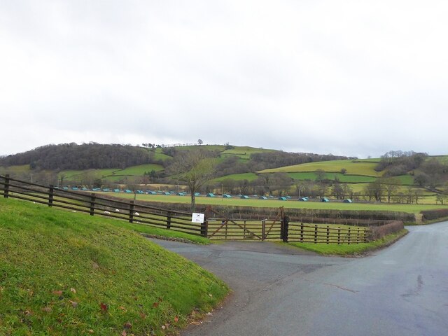
Cil-haul Wood Images
Images are sourced within 2km of 52.561853/-3.313533 or Grid Reference SO1196. Thanks to Geograph Open Source API. All images are credited.


Cil-haul Wood is located at Grid Ref: SO1196 (Lat: 52.561853, Lng: -3.313533)
Unitary Authority: Powys
Police Authority: Dyfed Powys
What 3 Words
///stadium.museum.jaundice. Near Newtown, Powys
Nearby Locations
Related Wikis
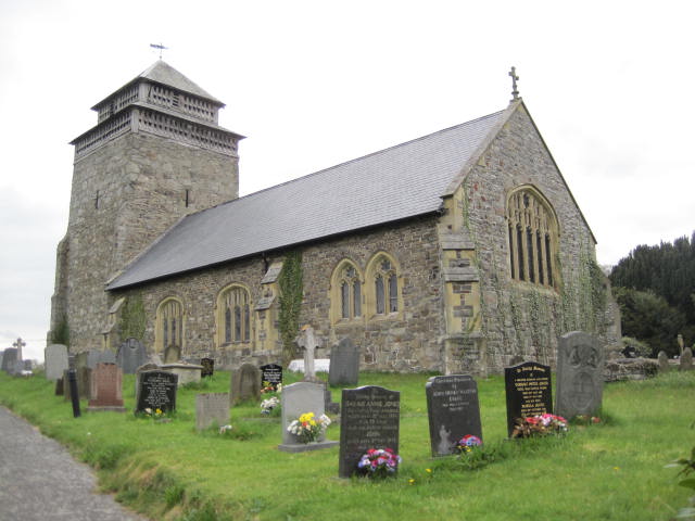
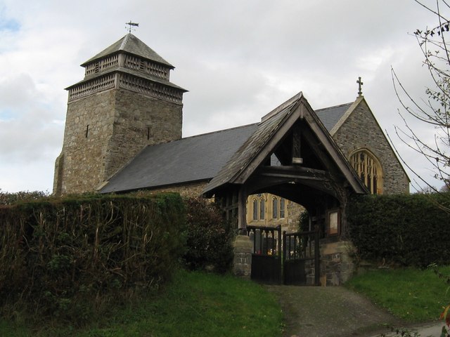
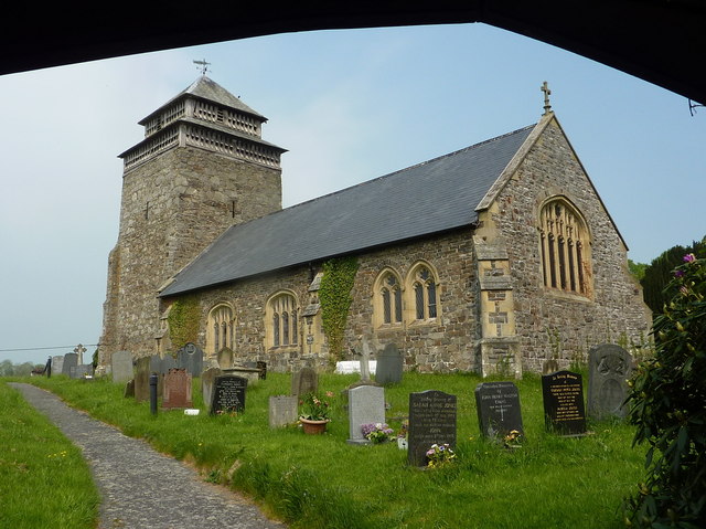
St Beuno's Church, Bettws Cedewain
St Beuno's Church, Bettws Cedewain lies within the historic county of Montgomeryshire in Powys. The church occupies a prominent position overlooking the...
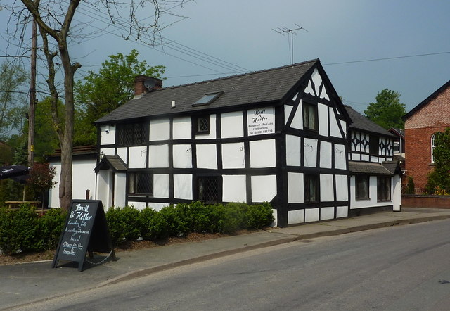
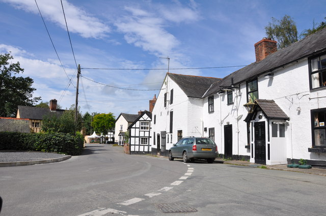
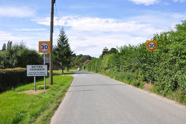
Bettws Cedewain
Bettws Cedewain (Welsh: Betws Cedewain), also known as Bettws Cedewen, is a small village and community in Montgomeryshire, Powys, Wales. It lies in a...
Tregynon
Tregynon is a small village and community in Montgomeryshire, Powys, Wales, to the north of Newtown and south west of Welshpool. The population of the...

Gregynog Hall
Gregynog (Welsh pronunciation: [ɡrɛˈɡənɔɡ]) is a large country mansion in the village of Tregynon, 4 miles (6.4 km) northwest of Newtown in the old county...

Aberbechan Hall
Aberbechan Hall was a timber framed mansion in the township of Aberbechan within the parish of Llanllwchaearn in the historic county of Montgomeryshire...
Newtown West (Powys electoral ward)
Newtown West (formerly Newtown Llanllwchaiarn West or Llanllwchaiarn West) is the name of an electoral ward in the community of Newtown and Llanllwchaiarn...

Montgomery County Infirmary
Montgomery County Infirmary (Welsh: Ysbyty Sir Drefaldwyn) is a health facility in Llanfair Road, Newtown, Powys, Wales. It is managed by the Powys Teaching...
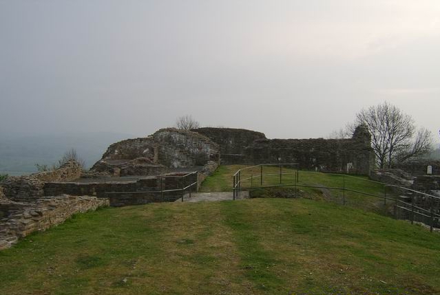
Dolforwyn Castle
Dolforwyn Castle (Welsh: Castell Dolforwyn) is a Welsh medieval castle above the village of Abermule, Powys. The fortification was established by Llywelyn...
Nearby Amenities
Located within 500m of 52.561853,-3.313533Have you been to Cil-haul Wood?
Leave your review of Cil-haul Wood below (or comments, questions and feedback).