Church Wood
Wood, Forest in Montgomeryshire
Wales
Church Wood
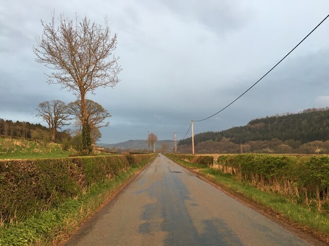
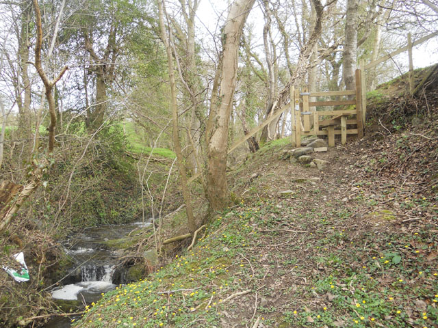
Church Wood is a picturesque woodland located in Montgomeryshire, Wales. Covering an area of approximately 100 acres, it is a captivating destination for nature enthusiasts and those seeking tranquility amidst the beauty of nature. The woodland is situated near the village of Churchstoke, providing easy access for visitors.
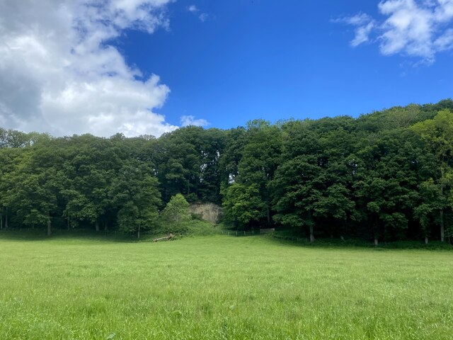
Church Wood is primarily composed of deciduous trees, including oak, ash, beech, and birch, which create a diverse and vibrant canopy. The forest floor is covered in a thick carpet of ferns, mosses, and wildflowers, adding to its enchanting atmosphere.
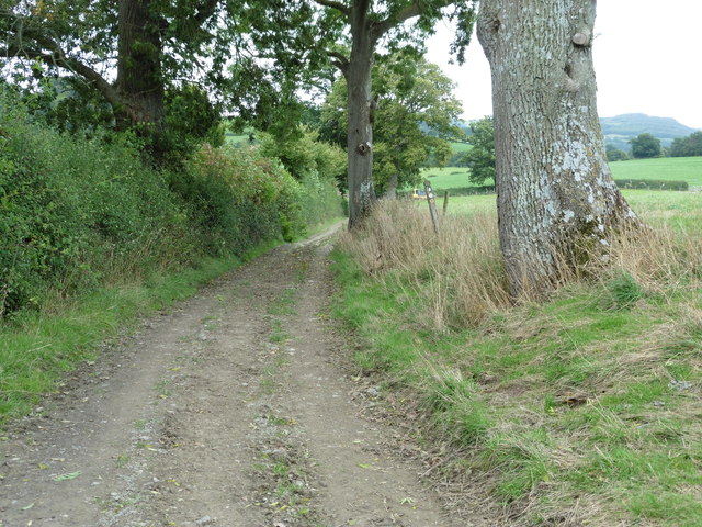
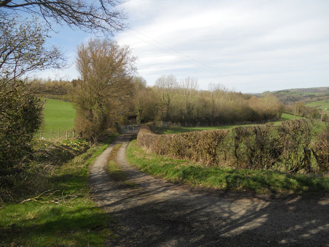
The wood is crisscrossed by a network of well-maintained footpaths, allowing visitors to explore its wonders at their own pace. The paths wind through the trees, revealing hidden glades, babbling brooks, and small ponds teeming with wildlife. Birdsong fills the air, with species such as the great spotted woodpecker, tawny owl, and redstart often spotted by keen birdwatchers.
Church Wood is also home to a variety of mammals, including badgers, foxes, and deer, making it an ideal spot for observing wildlife. The diverse ecosystem supports a thriving population of insects, butterflies, and other invertebrates, offering ample opportunities for nature photography and observation.
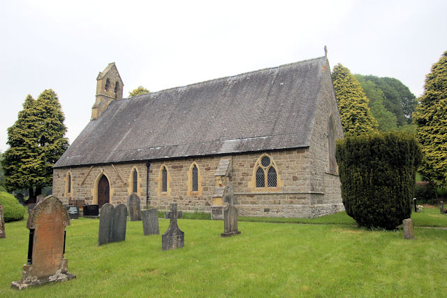
The wood has a rich cultural history, with remnants of an ancient church that once stood in its midst. This historical significance adds an air of mystery and intrigue to the woodland, providing visitors with a deeper connection to the past.
Overall, Church Wood in Montgomeryshire is a true haven for nature lovers, offering a captivating blend of natural beauty, wildlife, and historical charm.
If you have any feedback on the listing, please let us know in the comments section below.
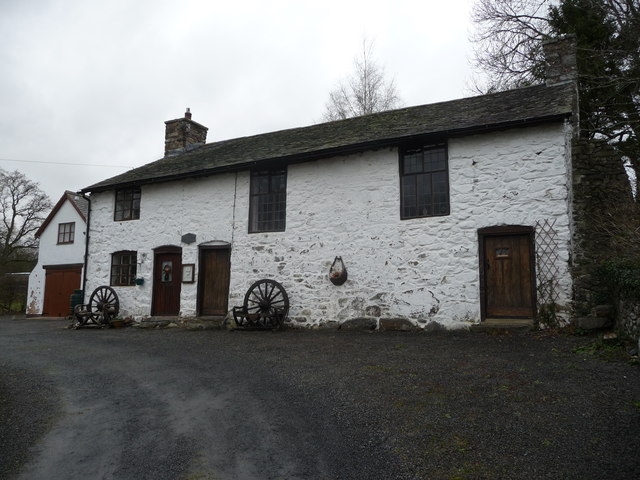
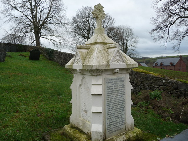
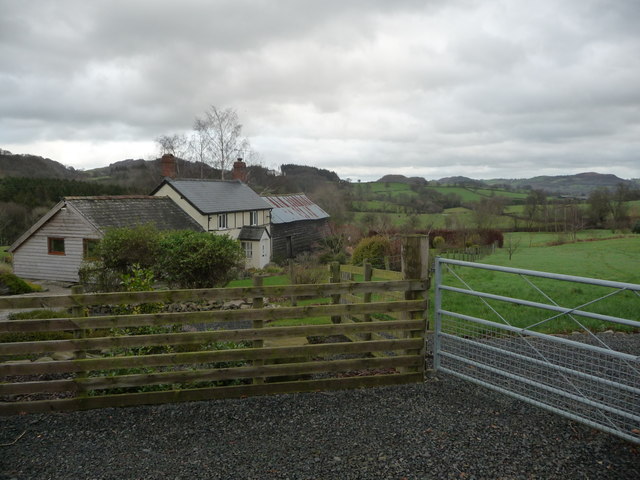
Church Wood Images
Images are sourced within 2km of 52.707816/-3.324426 or Grid Reference SJ1013. Thanks to Geograph Open Source API. All images are credited.


Church Wood is located at Grid Ref: SJ1013 (Lat: 52.707816, Lng: -3.324426)
Unitary Authority: Powys
Police Authority: Dyfed Powys
What 3 Words
///flight.folks.engraving. Near Llanfair Caereinion, Powys
Nearby Locations
Related Wikis
Pontrobert
Pontrobert is an ecclesiastical parish that was formed in September 1854. It comprises the townships of Teirtref and part of Nantymeichiaid in the parish...

Dolobran, Montgomeryshire
Dolobran, in the county of Montgomeryshire (now Powys) in Wales, is a historic estate which was the earliest known seat of the expansive Lloyd family,...

Caereinion
Caereinion (fort of Einion) was a medieval cantref in the Kingdom of Powys, or possibly it was a commote (cwmwd) within a cantref called Llŷs Wynaf. It...

Mathrafal
Mathrafal near Welshpool, in Powys, Mid Wales, was the seat of the Kings and Princes of Powys probably from the 9th century until its destruction in 1213...
Nearby Amenities
Located within 500m of 52.707816,-3.324426Have you been to Church Wood?
Leave your review of Church Wood below (or comments, questions and feedback).