Coed Pant-du Uchaf

Wood, Forest in Glamorgan

Wales

Coed Pant-du Uchaf

Bridge over Nant Cae Dudwg
Bridge over Nant Cae Dudwg Credit: Alan Hughes

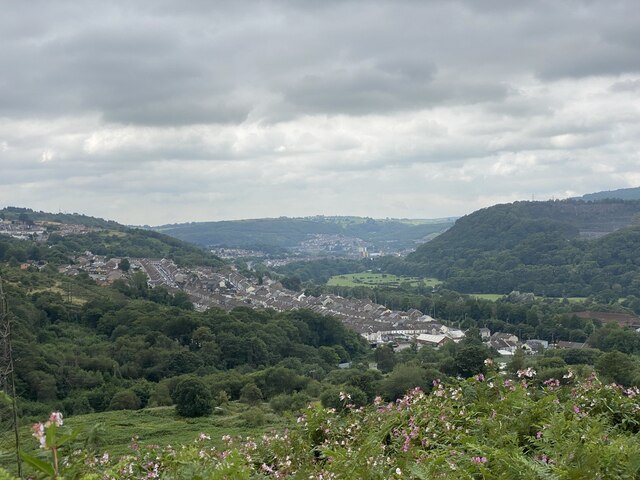
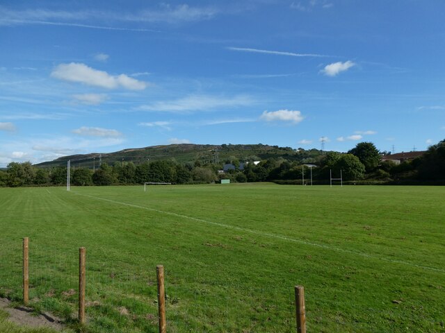
Coed Pant-du Uchaf, located in Glamorgan, is a picturesque wood and forest area known for its natural beauty and diverse flora and fauna. It covers an area of approximately 200 acres and is situated in the southern part of Wales, near the village of Pant-du Uchaf.

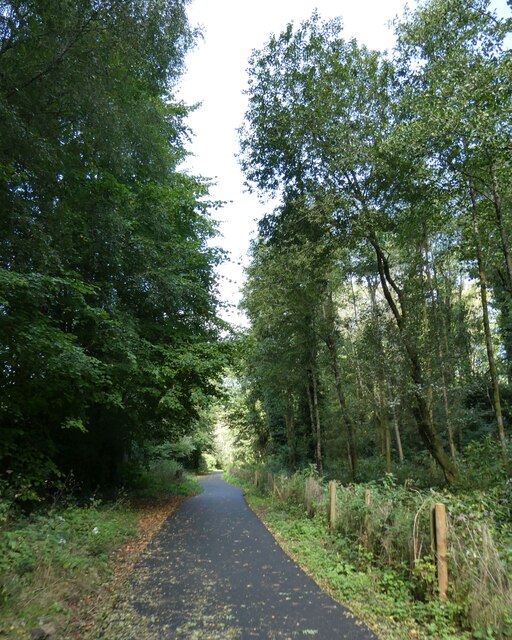
The wood is characterized by its dense canopy of deciduous and coniferous trees, including oak, beech, pine, and spruce. These trees create a vibrant and colorful landscape, especially during the autumn months when the leaves change to various shades of red, orange, and gold.

Coed Pant-du Uchaf is home to a wide variety of wildlife, making it a haven for nature enthusiasts and wildlife photographers. Visitors may spot deer, rabbits, foxes, and a plethora of bird species, including woodpeckers, owls, and various songbirds.

The forest also boasts several walking trails, allowing visitors to explore its beauty on foot. These trails wind through the wood, providing a tranquil and serene experience for hikers and nature lovers. Along the trails, there are several viewpoints that offer breathtaking vistas of the surrounding countryside and valleys.

Coed Pant-du Uchaf is not only a natural haven but also an important conservation area. Efforts are made to protect and preserve the wood's biodiversity and ecosystem. The management of the forest includes sustainable practices to ensure the long-term health and vitality of the woodland.

Overall, Coed Pant-du Uchaf is a remarkable wood and forest area in Glamorgan, offering visitors the chance to immerse themselves in nature, admire stunning landscapes, and appreciate the rich diversity of plant and animal life in the region.

If you have any feedback on the listing, please let us know in the comments section below.

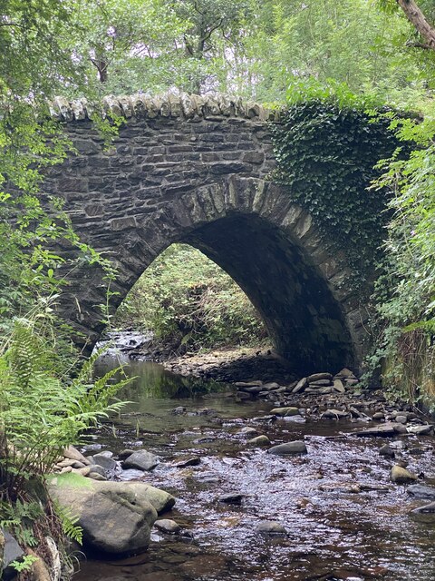
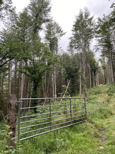
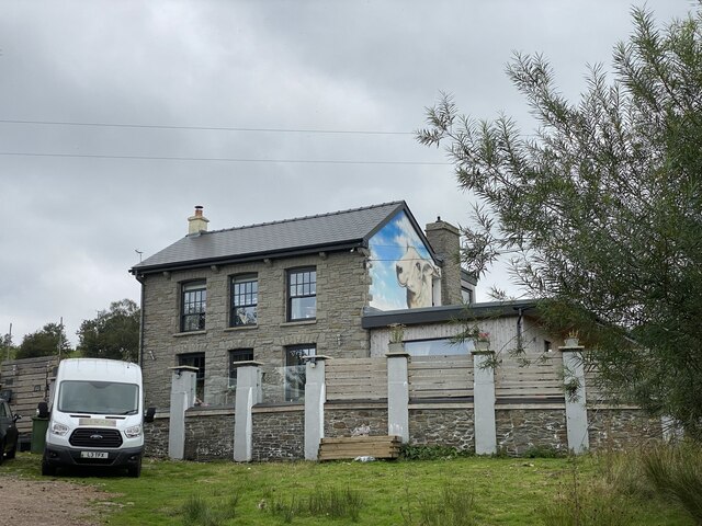
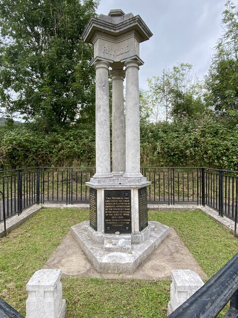
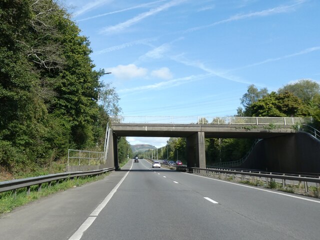
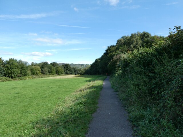
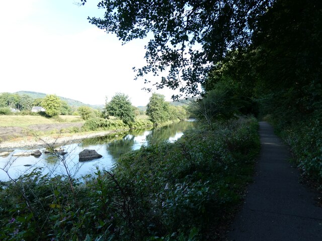
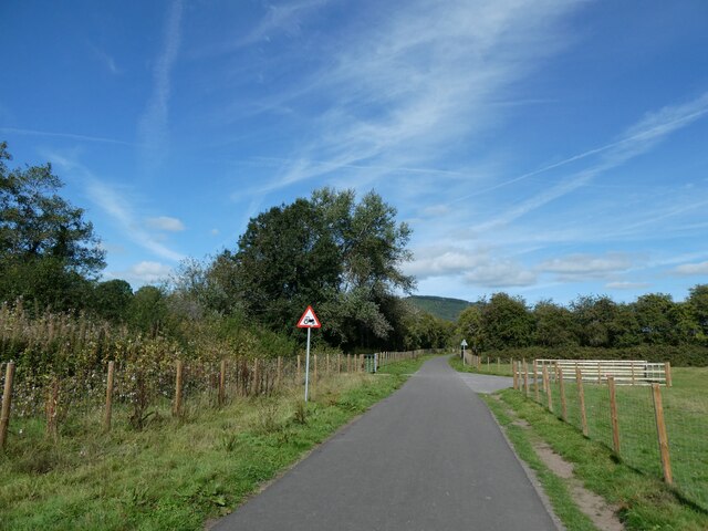
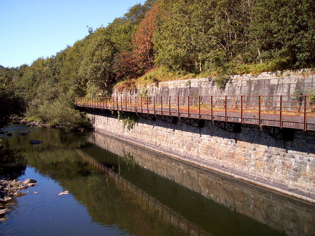
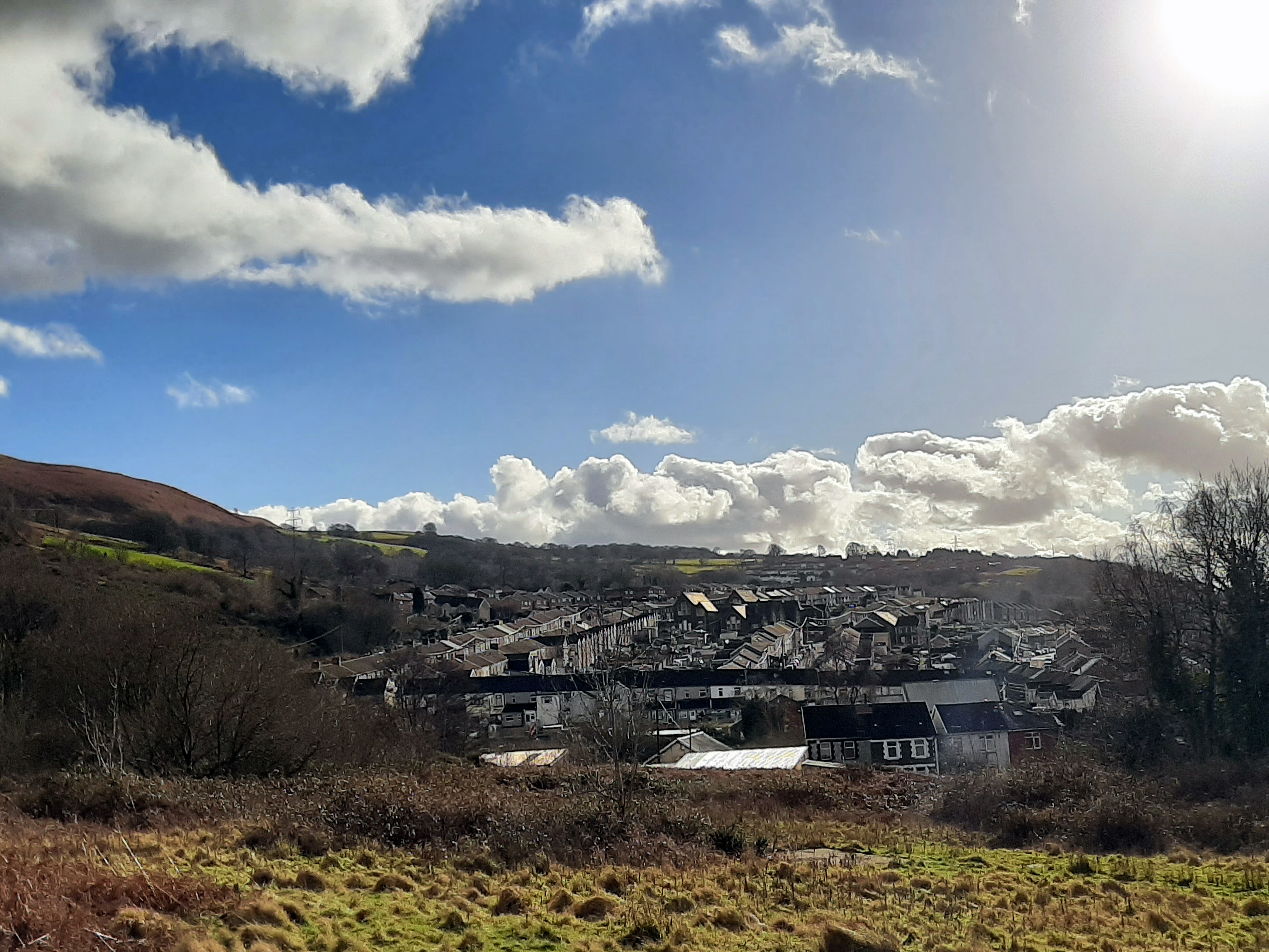
Coed Pant-du Uchaf Images

Images are sourced within 2km of 51.622996/-3.3073579 or Grid Reference ST0992. Thanks to Geograph Open Source API. All images are credited.

Bridge over Nant Cae Dudwg
Woodland path Path through Coed Pant Du Isaf
Woodland path
Path through Coed Pant Du Isaf
House opposite Trefychan Farm Note the sheep mural!
House opposite Trefychan Farm
Note the sheep mural!
War Memorial, Cilfynydd The three cornices are inscribed Rhyddid (Liberty), Aberth (Sacrifice) and Teyrnged (Tribute).
War Memorial, Cilfynydd
The three cornices are inscribed Rhyddid (Liberty), Aberth (Sacrifice) and Teyrnged (Tribute).
Taff Vale (Cwm Taf) View over Cilfynydd towards Pontypridd. Beyond the wooded hillside is the mouth of the Rhondda valley.  Afon Rhondda flows into the Taf at Pontypridd.
Taff Vale (Cwm Taf)
View over Cilfynydd towards Pontypridd. Beyond the wooded hillside is the mouth of the Rhondda valley. Afon Rhondda flows into the Taf at Pontypridd.
A470 south of Cilfynydd
Unprotected lay-by by A470, Pontypridd As this small lay-by has an emergency phone, one assumes it is intended for emergencies only, not for picnics
Unprotected lay-by by A470, Pontypridd
As this small lay-by has an emergency phone, one assumes it is intended for emergencies only, not for picnics
Footbridge over A470, Cilfynydd
Service road bridge over A470, Cilfynydd The bridge leads into an industrial estate on the left
Service road bridge over A470, Cilfynydd
The bridge leads into an industrial estate on the left
Taff Trail by flood plain of River Taff
River Taff north of Pont-Sion-Norton
Taff Trail west of Cilfynydd
School playing field west of Cilfynydd
Industrial units north of Cilfynydd
Taff Trail north of Cilfynydd On the left, behind the screen of trees, is a sewage works.  Ignore the "near to Glyncoch" as there is a river between this scene and the village of Glyncoch, so near means "as the crow flies".
Taff Trail north of Cilfynydd
On the left, behind the screen of trees, is a sewage works. Ignore the "near to Glyncoch" as there is a river between this scene and the village of Glyncoch, so near means "as the crow flies".
Glyncoch Social Club Glyncoch is a run down post war estate to the north of Pontypridd
Glyncoch Social Club
Glyncoch is a run down post war estate to the north of Pontypridd
Cycleway bridge on River Taff This bridge is on the Lady Windsor Colliery Cycleway a branch off the Taff Trail and goes up the isolated valley of the Clydach to Ynysybwl, local youths regularly swim under this bridge.
Cycleway bridge on River Taff
This bridge is on the Lady Windsor Colliery Cycleway a branch off the Taff Trail and goes up the isolated valley of the Clydach to Ynysybwl, local youths regularly swim under this bridge.
Disused cantilevered mine  railway/conveyor This structure hangs over the river Taff and may have been a railway or conveyor belt
Disused cantilevered mine railway/conveyor
This structure hangs over the river Taff and may have been a railway or conveyor belt
Show me another place!

Coed Pant-du Uchaf is located at Grid Ref: ST0992 (Lat: 51.622996, Lng: -3.3073579)

Unitary Authority: Rhondda Cynon Taf

Police Authority: South Wales

What 3 Words

///spicy.text.arch. Near Abercynon, Rhondda Cynon Taf

Related Wikis

Cilfynydd

Cilfynydd is a village in the county borough of Rhondda Cynon Taf, Wales, a mile from the South Wales Valleys town of Pontypridd, and 13 miles north of...

Pontypridd High School

Pontypridd High School (Welsh: Ysgol Uwchradd Pontypridd) (formerly known as Coedylan Comprehensive) is an English-medium comprehensive school in the village...

Albion Colliery

Albion Colliery was a coal mine in South Wales Valleys, located in the village of Cilfynydd, one mile north of Pontypridd. == Location == The Colliery...

Cilfynydd railway station

Cilfynydd railway station served the village of Cilfynydd, in the historical county of Glamorganshire, Wales, from 1900 to 1932 on the Llancaiach Branch...

Nearby Amenities

Located within 500m of 51.622996,-3.3073579
Power: tower
Lat/Long: 51.6251374/-3.308292
Power: tower
Lat/Long: 51.6256811/-3.3070586
Power: tower
Lat/Long: 51.6263641/-3.3045962
Power: tower
Lat/Long: 51.624127/-3.3114842
Power: tower
Lat/Long: 51.6234099/-3.3135012
Power: pole
Lat/Long: 51.6232056/-3.3145908
The data included in this document is from www.openstreetmap.org. The data is made available under ODbL.

Have you been to Coed Pant-du Uchaf?

Leave your review of Coed Pant-du Uchaf below (or comments, questions and feedback).