Mill Wood

Wood, Forest in Glamorgan

Wales

Mill Wood

Remains of Roman building, The Knapp Bases of the limestone walls of a late Roman building around a central courtyard; of uncertain function. Situated next to the Wales Coast Path amongst modern dwellings. For a better view of the far end of the site - <a href="https://www.geograph.org.uk/photo/272229">ST0966 : Roman Villa</a>.
Remains of Roman building, The Knapp Credit: M J Roscoe

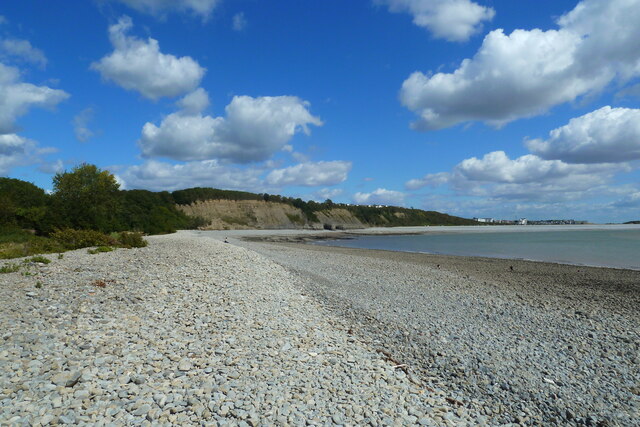
Mill Wood is a picturesque woodland located in Glamorgan, Wales. This enchanting forest covers an area of approximately 100 acres and is situated in close proximity to the village of Mill. The wood is known for its diverse range of flora and fauna, making it a popular destination for nature enthusiasts and hikers.

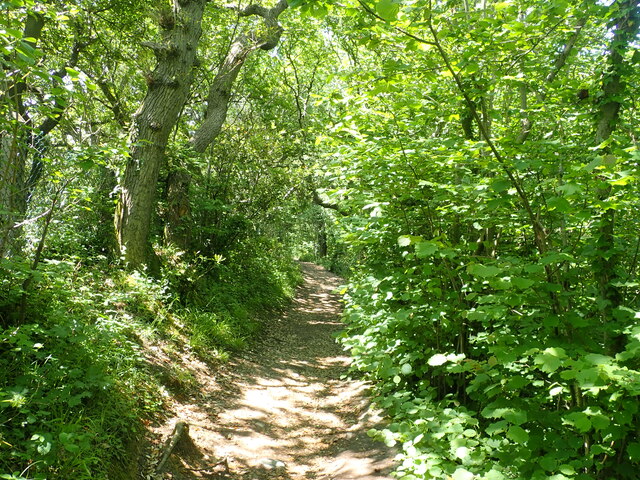
The woodland is primarily composed of deciduous trees such as oak, beech, and birch, creating a vibrant and colorful environment throughout the year. The forest floor is adorned with a variety of wildflowers, including bluebells, primroses, and wild garlic, adding to the natural beauty of the area.

Mill Wood is home to a wide array of wildlife species. Birdwatchers can spot various species, including woodpeckers, owls, and finches, while small mammals like foxes, badgers, and rabbits can be observed in their natural habitat. The wood also provides a habitat for numerous insects, including butterflies and dragonflies.

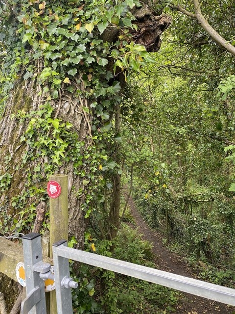
The wood is crisscrossed by a network of well-maintained paths and trails, allowing visitors to explore the area at their own pace. These paths lead to a charming old water mill, which used to serve as a vital source of energy for the surrounding villages in the past. The mill has now been restored and serves as a museum, providing insight into the local history and heritage.

Mill Wood offers a serene and tranquil escape from the bustling city life, providing a perfect opportunity for relaxation, recreation, and exploration. Whether it's a leisurely stroll, a picnic, or wildlife spotting, this woodland offers an immersive experience for nature lovers of all ages.

If you have any feedback on the listing, please let us know in the comments section below.
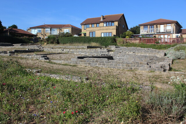
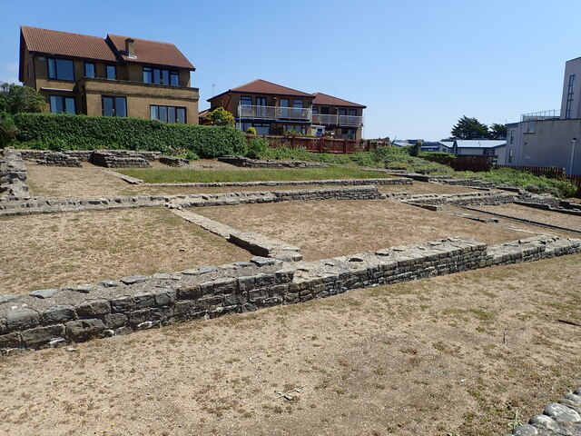
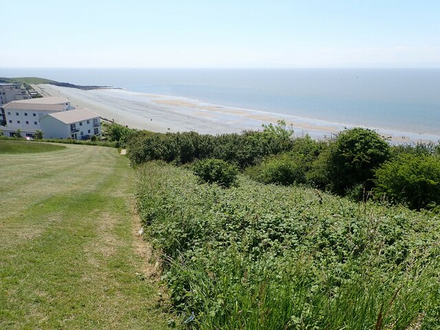
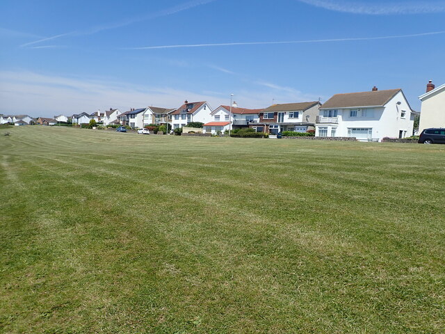
Mill Wood Images

Images are sourced within 2km of 51.40151/-3.3013186 or Grid Reference ST0967. Thanks to Geograph Open Source API. All images are credited.

Remains of Roman building, The Knapp Bases of the limestone walls of a late Roman building around a central courtyard; of uncertain function. Situated next to the Wales Coast Path amongst modern dwellings. For a better view of the far end of the site - <a href="https://www.geograph.org.uk/photo/272229">ST0966 : Roman Villa</a>.
Remains of Roman building, The Knapp
Bases of the limestone walls of a late Roman building around a central courtyard; of uncertain function. Situated next to the Wales Coast Path amongst modern dwellings. For a better view of the far end of the site - ST0966 : Roman Villa.
Church of St Curig and Church Cross, Porthkerry The church has its origins in the second half of the C13 and much of the walling is still medieval, although restored. The tower was added in the late C15 or early C16, as was the porch, although this was much rebuilt in 1867. There was a major restoration in that year when the east wall of the nave and the chancel arch were rebuilt, the vestry was added and the church re-roofed. The top of the tower was rebuilt in 1958.
The Church and the Church Cross are both listed at Grade II by Cadw.
Church of St Curig and Church Cross, Porthkerry
The church has its origins in the second half of the C13 and much of the walling is still medieval, although restored. The tower was added in the late C15 or early C16, as was the porch, although this was much rebuilt in 1867. There was a major restoration in that year when the east wall of the nave and the chancel arch were rebuilt, the vestry was added and the church re-roofed. The top of the tower was rebuilt in 1958. The Church and the Church Cross are both listed at Grade II by Cadw.
Roman remains, the Knap On the bank near the Knap car park are the remains of a large Roman building, believed to have been constructed c 290 A.D. Limestone and brick was taken from the site in the Middle Ages and used to build Barry Castle.
Roman remains, the Knap
On the bank near the Knap car park are the remains of a large Roman building, believed to have been constructed c 290 A.D. Limestone and brick was taken from the site in the Middle Ages and used to build Barry Castle.
Wales Coast Path near the Knap, Barry A steep hill to the top of Bull Cliff
Wales Coast Path near the Knap, Barry
A steep hill to the top of Bull Cliff
Houses on Marine Drive Above Bull Cliff
Houses on Marine Drive
Above Bull Cliff
Wales Coast Path in Cliff Wood On the way to Porothkerry
Wales Coast Path in Cliff Wood
On the way to Porothkerry
Porthkerry Viaduct Porthkerry viaduct was built during the construction of the Vale of Glamorgan Railway in the 1890s. Remaining one of the notable industrial monuments of the area, it was constructed of stone with thirteen 50 feet and three 45 feet arches, reaching a maximum height of 110 feet. Work on the viaduct was troubled by subsidence in 1896 causing the temporary closure and the construction of a loop line. The viaduct finally opened to traffic in 1900.
Porthkerry Viaduct
Porthkerry viaduct was built during the construction of the Vale of Glamorgan Railway in the 1890s. Remaining one of the notable industrial monuments of the area, it was constructed of stone with thirteen 50 feet and three 45 feet arches, reaching a maximum height of 110 feet. Work on the viaduct was troubled by subsidence in 1896 causing the temporary closure and the construction of a loop line. The viaduct finally opened to traffic in 1900.
Wales Coast Path between the Knap and Porthkerry
Pebble beach at Porthkerry Country Park
Site of the Bulwarks Fort The Bulwarks Fort was a promontory fort in Rhoose, on the southern coast of Wales overlooking the Bristol Channel. It probably dates to the Iron Age and continued to be occupied during the Roman period in Britain. Just visible at the tree line are some approach lights for Rhoose airport
Site of the Bulwarks Fort
The Bulwarks Fort was a promontory fort in Rhoose, on the southern coast of Wales overlooking the Bristol Channel. It probably dates to the Iron Age and continued to be occupied during the Roman period in Britain. Just visible at the tree line are some approach lights for Rhoose airport
Porthkerry Beach and Bull Cliff Porthkerry beach and Bull Cliff looking north east towards Cold Knapp.
Porthkerry Beach and Bull Cliff
Porthkerry beach and Bull Cliff looking north east towards Cold Knapp.
Walking with two poles The bridge is still in use, carrying the Vale of Glamorgan line from Barry to Bridgend.
Walking with two poles
The bridge is still in use, carrying the Vale of Glamorgan line from Barry to Bridgend.
Public footpath Path through Porthkerry Park.
Public footpath
Path through Porthkerry Park.
Towards a solitary tree I wonder why the tractor veered to the left.
Towards a solitary tree
I wonder why the tractor veered to the left.
Wooden footbridge Footbridge over Whitelands Brook.
Wooden footbridge
Footbridge over Whitelands Brook.
Keep out! Barrier to Welsh Water installation.
Keep out!
Barrier to Welsh Water installation.
Porthkerry viaduct Railway line between Barry and Llantwit Major.
Porthkerry viaduct
Railway line between Barry and Llantwit Major.
Pond dipping in Whitelands Brook
Show me another place!

Mill Wood is located at Grid Ref: ST0967 (Lat: 51.40151, Lng: -3.3013186)

Unitary Authority: The Vale of Glamorgan

Police Authority: South Wales

What 3 Words

///nooks.workbench.yachting. Near Barry, Vale of Glamorgan

Related Wikis

Illtyd (electoral ward)

Illtyd is the name of an electoral ward in Barry, Vale of Glamorgan, Wales. It is represented by councillors on Barry Town Council and the Vale of Glamorgan...

Romilly, Vale of Glamorgan

Romilly is a western district of Barry in the Vale of Glamorgan, South Wales, United Kingdom. The area has an attractive public park which includes an...

Cwm Talwg

Cwm Talwg is a north-western district and large housing estate complex within the town of Barry in the Vale of Glamorgan ten miles outside Cardiff in south...

Barry railway station

Barry railway station (Welsh: Y Barri) is one of three stations serving the town of Barry, Vale of Glamorgan in South Wales. This one, Barry Town, is preceded...

Nearby Amenities

Located within 500m of 51.40151,-3.3013186
Barrier: kissing_gate
Lat/Long: 51.4019757/-3.2949353
Direction: S
Generator Method: photovoltaic
Generator Output Electricity: yes
Generator Solar Modules: 14
Generator Source: solar
Generator Type: solar_photovoltaic_panel
Location: roof
Power: generator
Lat/Long: 51.4032741/-3.3052929
Direction: 215
Generator Method: photovoltaic
Generator Output Electricity: yes
Generator Solar Modules: 20
Generator Source: solar
Generator Type: solar_photovoltaic_panel
Location: roof
Power: generator
Lat/Long: 51.4041419/-3.2958716
Direction: WSW
Generator Method: photovoltaic
Generator Output Electricity: yes
Generator Solar Modules: 12
Generator Source: solar
Generator Type: solar_photovoltaic_panel
Location: roof
Power: generator
Lat/Long: 51.4037159/-3.2966337
Direction: SW
Generator Method: photovoltaic
Generator Output Electricity: yes
Generator Solar Modules: 9
Generator Source: solar
Generator Type: solar_photovoltaic_panel
Location: roof
Power: generator
Lat/Long: 51.4032074/-3.2973844
Direction: SSW
Generator Method: photovoltaic
Generator Output Electricity: yes
Generator Solar Modules: 5
Generator Source: solar
Generator Type: solar_photovoltaic_panel
Location: roof
Power: generator
Lat/Long: 51.4031305/-3.2972637
Direction: 125
Generator Method: photovoltaic
Generator Output Electricity: yes
Generator Solar Modules: 18
Generator Source: solar
Generator Type: solar_photovoltaic_panel
Location: roof
Power: generator
Lat/Long: 51.4033405/-3.296687
Barrier: kissing_gate
Lat/Long: 51.3984556/-3.3044448
Crossing
Crossing Markings: zebra
Lat/Long: 51.3978034/-3.302915
Waste Basket
Lat/Long: 51.4043963/-3.2991707
The data included in this document is from www.openstreetmap.org. The data is made available under ODbL.

Have you been to Mill Wood?

Leave your review of Mill Wood below (or comments, questions and feedback).