Cefn Wood

Wood, Forest in Montgomeryshire

Wales

Cefn Wood

B4389 heading north past a new unmapped building The road from Tregynon to Llanfair Caereinion, in the valley of the River Rhiw.
B4389 heading north past a new unmapped building Credit: Christine Johnstone

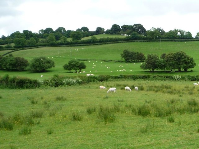
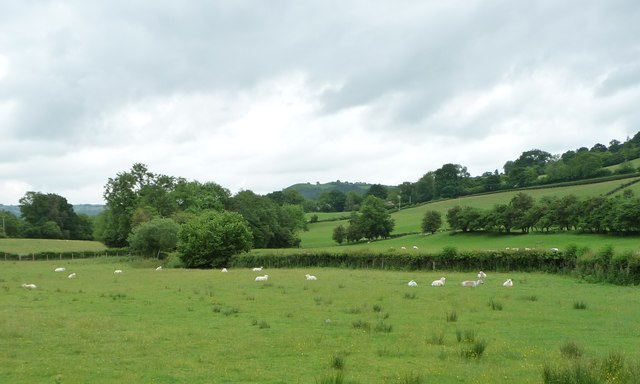
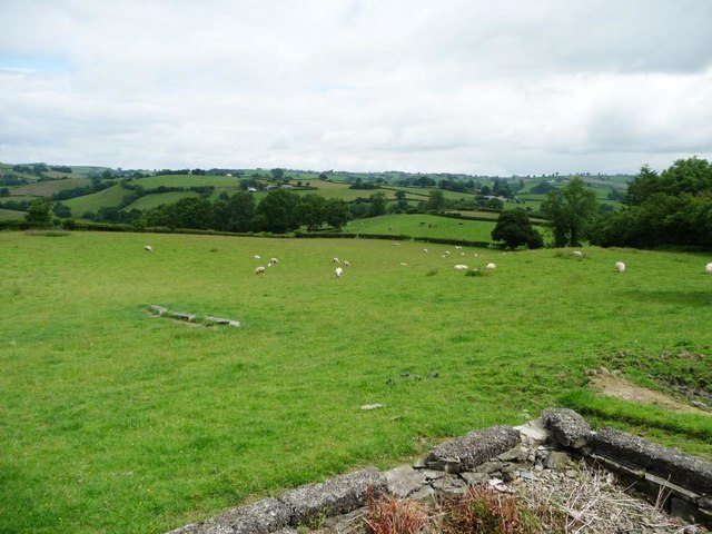
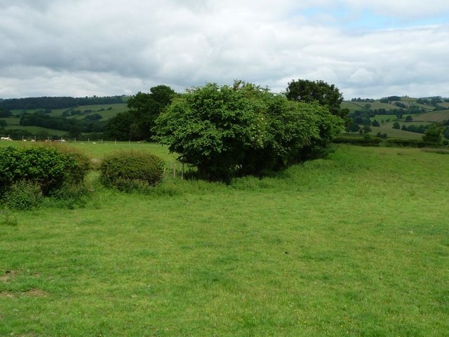
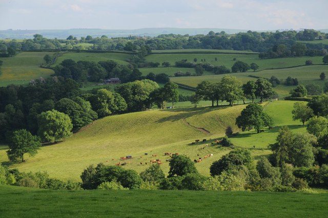
Cefn Wood is a beautiful and diverse forest located in Montgomeryshire, Wales. Covering an area of approximately 500 acres, the wood is home to a variety of tree species including oak, beech, and pine. The forest is a popular destination for nature lovers, hikers, and bird watchers, with its network of scenic trails and abundance of wildlife.

Cefn Wood is known for its tranquil atmosphere and stunning views, making it a peaceful retreat for those looking to escape the hustle and bustle of everyday life. The forest is also home to a number of historical sites, including ancient ruins and burial mounds, providing a glimpse into the area's rich past.

Visitors to Cefn Wood can enjoy a range of activities, including walking, cycling, and picnicking. The forest is also a popular spot for wildlife spotting, with deer, foxes, and a variety of bird species all calling the wood home.

Overall, Cefn Wood is a hidden gem in Montgomeryshire, offering visitors a chance to connect with nature and explore the beauty of the Welsh countryside.

If you have any feedback on the listing, please let us know in the comments section below.
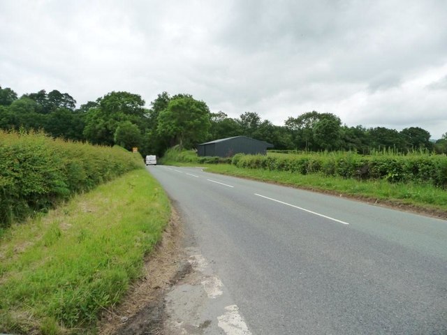
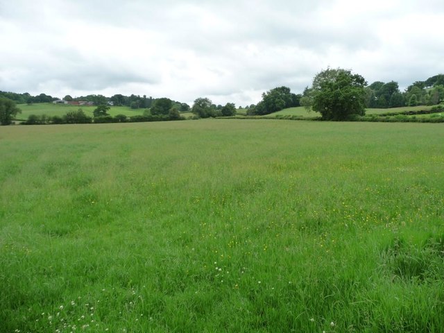
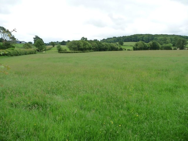
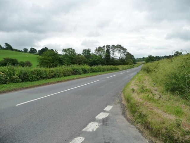
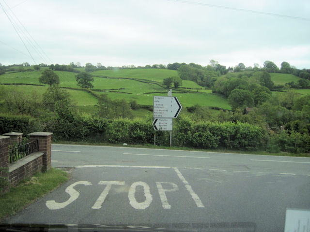
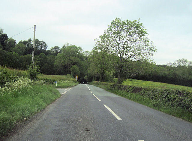
Cefn Wood Images

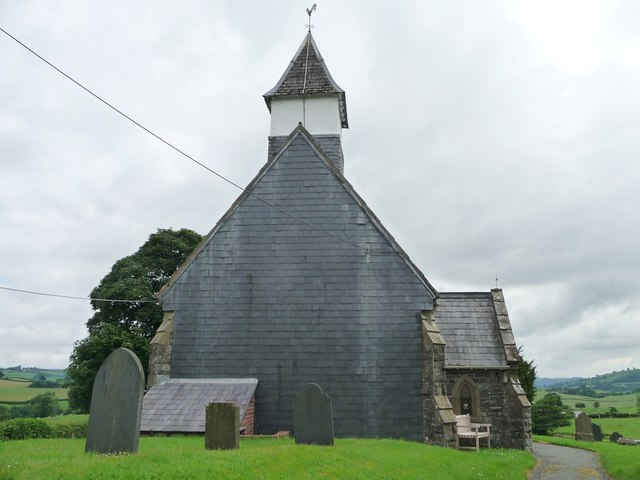
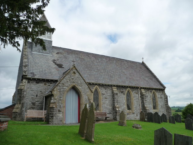
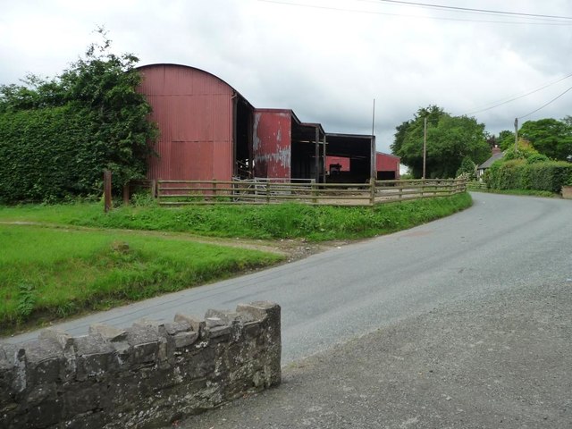
Images are sourced within 2km of 52.607822/-3.3375772 or Grid Reference SJ0901. Thanks to Geograph Open Source API. All images are credited.

B4389 heading north past a new unmapped building The road from Tregynon to Llanfair Caereinion, in the valley of the River Rhiw.
B4389 heading north past a new unmapped building
The road from Tregynon to Llanfair Caereinion, in the valley of the River Rhiw.
Farmland in the valley of Dolgar Brook Looking south west towards the distant farm on the hill - Ty'n y shettin.
Farmland in the valley of Dolgar Brook
Looking south west towards the distant farm on the hill - Ty'n y shettin.
Farmland on the west side of the B4389 Looking south towards the farm buildings at Birch House.
Farmland on the west side of the B4389
Looking south towards the farm buildings at Birch House.
B4389 heading south towards Birch House There is a 157 spot height at the trees, when the road crossed Dolgar Brook.
B4389 heading south towards Birch House
There is a 157 spot height at the trees, when the road crossed Dolgar Brook.
Sheep fields, south of Birch House On the east side of the B4389.
Sheep fields, south of Birch House
On the east side of the B4389.
Sheep pasture in the valley of Dolgar Brook Looking east from the B4389.
Sheep pasture in the valley of Dolgar Brook
Looking east from the B4389.
Llanwyddelan church from the north-west The church is dedicated to St Gwyddelan. Gwyddelan (the little Irishman) was a Celtic missionary from Ireland who arrived in about the year AD 600. The church was completely rebuilt in 1865.
Llanwyddelan church from the north-west
The church is dedicated to St Gwyddelan. Gwyddelan (the little Irishman) was a Celtic missionary from Ireland who arrived in about the year AD 600. The church was completely rebuilt in 1865.
Gate of thanksgiving for victory and peace, Llanwyddelan The western entry to the churchyard. The plaque gives thanks for the end of the Second World War, and also remembers Sapper Richard Edward Richards, who died in a Japanese prisoner of war camp on 26th August 1944.
Gate of thanksgiving for victory and peace, Llanwyddelan
The western entry to the churchyard. The plaque gives thanks for the end of the Second World War, and also remembers Sapper Richard Edward Richards, who died in a Japanese prisoner of war camp on 26th August 1944.
West end, St Gwyddelan's Church, Llanwyddelan Slate hung for protection against the prevailing wet weather from the south-west. Gwyddelan (the little Irishman) was a Celtic missionary from Ireland who arrived in about the year AD 600. The church was completely rebuilt in 1865.
West end, St Gwyddelan's Church, Llanwyddelan
Slate hung for protection against the prevailing wet weather from the south-west. Gwyddelan (the little Irishman) was a Celtic missionary from Ireland who arrived in about the year AD 600. The church was completely rebuilt in 1865.
Llanwyddelan church from the south The church is dedicated to St Gwyddelan. Gwyddelan (the little Irishman) was a Celtic missionary from Ireland who arrived in about the year AD 600. The church was completely rebuilt in 1865.
Llanwyddelan church from the south
The church is dedicated to St Gwyddelan. Gwyddelan (the little Irishman) was a Celtic missionary from Ireland who arrived in about the year AD 600. The church was completely rebuilt in 1865.
Barns at Ty Coch, Llanwyddelan Painted in the right colour - 'Ty Coch' is Welsh for Red House.
Barns at Ty Coch, Llanwyddelan
Painted in the right colour - 'Ty Coch' is Welsh for Red House.
Sheep grazing, Llanwyddelan On the north side of the churchyard.
Sheep grazing, Llanwyddelan
On the north side of the churchyard.
Sheep pasture, Llanwyddelan North of the churchyard.
Sheep pasture, Llanwyddelan
North of the churchyard.
Farmland in the Rhiw valley Farmland in the Rhiw valley near Llanwyddelan.
Farmland in the Rhiw valley
Farmland in the Rhiw valley near Llanwyddelan.
Old Milestone by the B4389, New Mills, Manafon parish Milestone by the B4389, in parish of Manafon (Powys District), New Mills, on verge, Southeast side of road.

Inscription reads:-
: TREGYNON / 1½ / {arrow->} : : NEWTOWN / 7 / {arrow->} : : LLANFAIR / 3¾ / {<-arrow} :   

Surveyed

Milestone Society National ID: MOT_NTLC09
Old Milestone by the B4389, New Mills, Manafon parish
Milestone by the B4389, in parish of Manafon (Powys District), New Mills, on verge, Southeast side of road. Inscription reads:- : TREGYNON / 1½ / {arrow->} : : NEWTOWN / 7 / {arrow->} : : LLANFAIR / 3¾ / {<-arrow} : Surveyed Milestone Society National ID: MOT_NTLC09
Road junction for Gwernydd Hall Holiday park Off B4389
Road junction for Gwernydd Hall Holiday park
Off B4389
Road junction at New Mills B4389 joins the B4390 here. Viewed from B4389
Road junction at New Mills
B4389 joins the B4390 here. Viewed from B4389
Road junction at Birch House On B4389 north towards New Mills
Road junction at Birch House
On B4389 north towards New Mills
Show me another place!

Cefn Wood is located at Grid Ref: SJ0901 (Lat: 52.607822, Lng: -3.3375772)

Unitary Authority: Powys

Police Authority: Dyfed Powys

What 3 Words

///unleashed.took.gateway. Near Llanfair Caereinion, Powys

Related Wikis

River Rhiw

The River Rhiw (Welsh: Afon Rhiw meaning 'slope river' or 'stream river') is a short river in the north of Powys in Wales. Two headwater tributaries both...

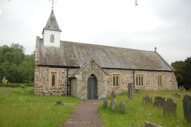
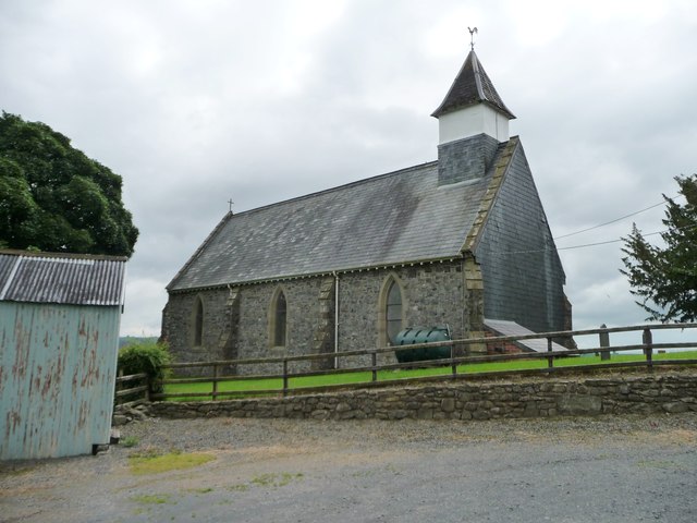
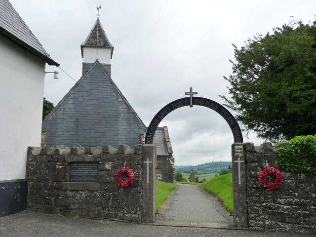
St Michael's Church, Manafon

St Michael's Church is in the small village of Manafon, Powys, Wales. It is an active Anglican church in the parish of Llanfair Caereinion, Llanllugan...

Manafon

Manafon is a small rural community located in the hills of Montgomeryshire, the Northern part of the Welsh county of Powys. The Parish focuses on the valley...

Hen Llys

Hen Llys (or Henllys Hall) is a house in Manafon, Powys, Wales. It is a Grade II listed building. In his biography of John Douglas, Edward Hubbard attributes...

Nearby Amenities

Located within 500m of 52.607822,-3.3375772
Place: farm
Lat/Long: 52.6039468/-3.3407916
The data included in this document is from www.openstreetmap.org. The data is made available under ODbL.

Have you been to Cefn Wood?

Leave your review of Cefn Wood below (or comments, questions and feedback).