Allt Goch

Wood, Forest in Radnorshire

Wales

Allt Goch

Cefnhinog Farm on a January evening After some 7 to 8 hours walking on the surrounding hills I am glad to reach the valley bottom farms and cottages again.
Cefnhinog Farm on a January evening Credit: Jeremy Bolwell

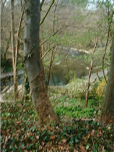
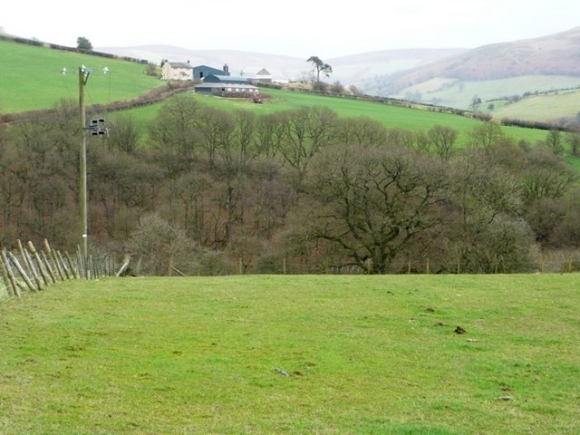
Allt Goch, located in Radnorshire, is a captivating woodland area known for its scenic beauty and rich biodiversity. This forest is situated in the heart of Wales, surrounded by rolling hills and picturesque valleys, making it a popular destination for nature lovers and outdoor enthusiasts.

Covering an area of approximately 500 acres, Allt Goch boasts a diverse range of plant and animal species. The woodland is predominantly composed of native deciduous trees such as oak, ash, and beech, creating a lush and vibrant habitat. The forest floor is adorned with an array of wildflowers, providing a colorful display during the spring and summer months.

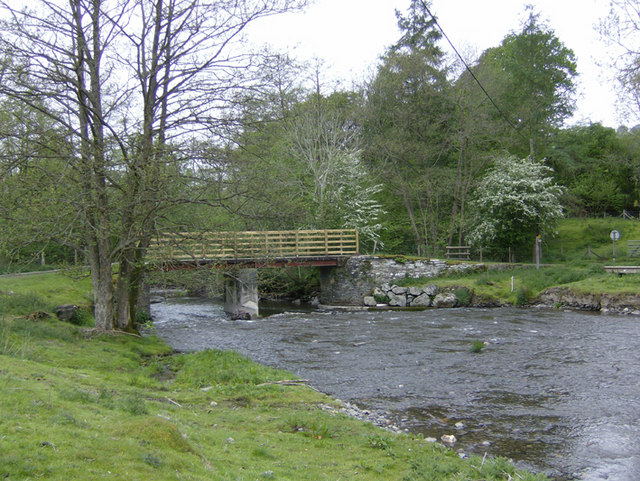
Numerous walking trails and footpaths meander through Allt Goch, allowing visitors to explore the area's natural wonders. The forest is home to a variety of wildlife, including deer, foxes, badgers, and a multitude of bird species. Birdwatchers can often spot buzzards, owls, and woodpeckers in the tree canopy.

Allt Goch offers a tranquil retreat for those seeking solace in nature. The peaceful ambience and verdant surroundings make it an ideal spot for picnicking, photography, or simply unwinding amidst the beauty of the countryside. The forest also provides opportunities for outdoor activities such as hiking, cycling, and horseback riding.

With its enchanting woodlands, diverse flora and fauna, and stunning landscapes, Allt Goch in Radnorshire is undoubtedly a natural treasure that showcases the true essence of the Welsh countryside.

If you have any feedback on the listing, please let us know in the comments section below.
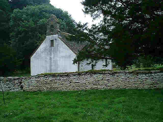
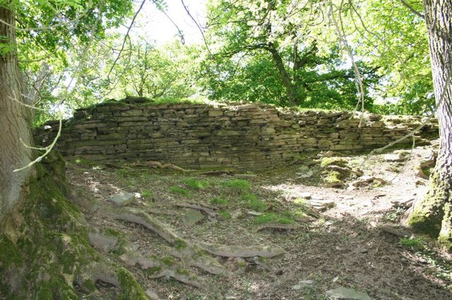
Allt Goch Images

Images are sourced within 2km of 52.133221/-3.3237945 or Grid Reference SO0949. Thanks to Geograph Open Source API. All images are credited.

Cefnhinog Farm on a January evening After some 7 to 8 hours walking on the surrounding hills I am glad to reach the valley bottom farms and cottages again.
Cefnhinog Farm on a January evening
After some 7 to 8 hours walking on the surrounding hills I am glad to reach the valley bottom farms and cottages again.
View over the hedge to Court Farm on a January evening The farm looks warm and welcoming on a cool January evening.
View over the hedge to Court Farm on a January evening
The farm looks warm and welcoming on a cool January evening.
Abandoned sheep dip, Pen Blaen There is a saying. "Look up the river for a wife, and down the river for a farm."
It was the ambition of a tenant farmer to move to better land down stream on lower ground, especially the richer lands in England. My own family took this route out of Radnorshire.
This illustrates a trend for if there is a net loss of people living off the land the higher farms are abandoned. 
This is quite a modern looking sheepdip, now the descendants of the sheep that went through here are  farmed from a far bigger enterprise in the valley, a consolidation of many small units that once grazed a few sheep on the common.
Abandoned sheep dip, Pen Blaen
There is a saying. "Look up the river for a wife, and down the river for a farm." It was the ambition of a tenant farmer to move to better land down stream on lower ground, especially the richer lands in England. My own family took this route out of Radnorshire. This illustrates a trend for if there is a net loss of people living off the land the higher farms are abandoned. This is quite a modern looking sheepdip, now the descendants of the sheep that went through here are farmed from a far bigger enterprise in the valley, a consolidation of many small units that once grazed a few sheep on the common.
Edw River near Aberedw
Aberedw village
Aberedw village
Little road bridge over the Aber Edw On a minor road in the beautiful old county of Radnorshire.
Little road bridge over the Aber Edw
On a minor road in the beautiful old county of Radnorshire.
Access land above Blaenmilo-uchaf A tongue of access land south-east of Aberedw Hill covers the western half of this square.  This is moorland sheep grazing land with easy walking but very strong westerly winds.
Access land above Blaenmilo-uchaf
A tongue of access land south-east of Aberedw Hill covers the western half of this square. This is moorland sheep grazing land with easy walking but very strong westerly winds.
Just below the moorland Behind is the wall and stile leading onto the open moorland.  In front is the ever steepening slope towards the Edw valley.  This is the top of the enclosed fields, mainly sheep pasture although evidence here of possible planting as this old machine appears to be a seed drill (further suggestions welcome).
Just below the moorland
Behind is the wall and stile leading onto the open moorland. In front is the ever steepening slope towards the Edw valley. This is the top of the enclosed fields, mainly sheep pasture although evidence here of possible planting as this old machine appears to be a seed drill (further suggestions welcome).
Looking across to Rhyscog The hill farm of Rhyscog is seen across pasture land and a deep, wooded side valley of the Edw, Milo Brook.
Looking across to Rhyscog
The hill farm of Rhyscog is seen across pasture land and a deep, wooded side valley of the Edw, Milo Brook.
Towards Pen-y-bryn A footpath heads north across sheep pasture towards a modern house marked on the 1:25K maps as Pen-y-bryn.
Towards Pen-y-bryn
A footpath heads north across sheep pasture towards a modern house marked on the 1:25K maps as Pen-y-bryn.
Path towards Aberedw Hill The open moorland in the next square can be seen on the horizon.  In this square, a footpath comes in from the left behind the retaining wall of an old drovers road, and continues to the left of the trees in the middle distance.  The drovers road is shown on the 1:25K maps but is not a public right of way.
Path towards Aberedw Hill
The open moorland in the next square can be seen on the horizon. In this square, a footpath comes in from the left behind the retaining wall of an old drovers road, and continues to the left of the trees in the middle distance. The drovers road is shown on the 1:25K maps but is not a public right of way.
398 metres high Looking north from the first high point of the Aberedw Hill access land.  This stone is marked at 398 metres, in an area of tumuli, with a small lake in the first dip of the moorland.
398 metres high
Looking north from the first high point of the Aberedw Hill access land. This stone is marked at 398 metres, in an area of tumuli, with a small lake in the first dip of the moorland.
Ffynnon-goll A series of barns is given the name of Ffynnon-goll on the 1:25K map, suggesting this was once a separate farm.  The path from Aberedw Hill to the village of the same name descends through this area, which is where the sheep like to accumulate even though they have access to the fields around.
Ffynnon-goll
A series of barns is given the name of Ffynnon-goll on the 1:25K map, suggesting this was once a separate farm. The path from Aberedw Hill to the village of the same name descends through this area, which is where the sheep like to accumulate even though they have access to the fields around.
Bridge over the Edw The river Edw is in flood but the bridge is high enough above to give a dry crossing.
Bridge over the Edw
The river Edw is in flood but the bridge is high enough above to give a dry crossing.
House next to the Edw The house lies on a minor road from Rhulen to Aberedw, sufficiently far above the river not to risk flooding and in the lee of Llandeilo Hill.
House next to the Edw
The house lies on a minor road from Rhulen to Aberedw, sufficiently far above the river not to risk flooding and in the lee of Llandeilo Hill.
Moorland pool On the open access moorland section this pool has formed in a shallow dip.  The ground around is surprisingly dry; presumably it runs off quickly into the pool.
Moorland pool
On the open access moorland section this pool has formed in a shallow dip. The ground around is surprisingly dry; presumably it runs off quickly into the pool.
Millennium stone The stone has probably been on this site for much longer but the plaque was attached for the Millennium.  It was attached jointly by the parishes of Aberedw and Rhulen although it sits firmly in the former.  The stone is seen in context here <a href="https://www.geograph.org.uk/photo/669163">SO0749 : 398 metres high</a>
Millennium stone
The stone has probably been on this site for much longer but the plaque was attached for the Millennium. It was attached jointly by the parishes of Aberedw and Rhulen although it sits firmly in the former. The stone is seen in context here SO0749 : 398 metres high
River Edw The river just clips the south-east corner of this square, parallel to a minor road up the valley.
River Edw
The river just clips the south-east corner of this square, parallel to a minor road up the valley.
Show me another place!

Allt Goch is located at Grid Ref: SO0949 (Lat: 52.133221, Lng: -3.3237945)

Unitary Authority: Powys

Police Authority: Dyfed Powys

What 3 Words

///pops.alike.alarming. Near Builth Wells, Powys

Nearby Locations

Allt Goch

Related Wikis

Llanbadarn y Garreg

Llanbadarn-y-Garreg is a village in the community of Aberedw, Powys, Wales. It is 45.1 miles (72.6 km) from Cardiff and 141.9 miles (228.4 km) from London...

Aberedw Castle

The remains of Aberedw Castle, also known as 'Castle in Elfael Uwch Mynydd', are located at the small village of Aberedw in the county of Powys, Mid-Wales...

Aberedw railway station

Aberedw railway station served the village of Aberedw in Powys, Wales. Aberedw Castle was demolished to build the station and some of the stone from the...

Aberedw

Aberedw is a village and community in Radnorshire, Powys, Wales. The community covers an area of 3,055 hectares (11.80 sq mi). Its population was 229,...

Nearby Amenities

Located within 500m of 52.133221,-3.3237945
Place: farm
Lat/Long: 52.134638/-3.328959
The data included in this document is from www.openstreetmap.org. The data is made available under ODbL.

Have you been to Allt Goch?

Leave your review of Allt Goch below (or comments, questions and feedback).