Coed Bryn-glâs

Wood, Forest in Montgomeryshire

Wales

Coed Bryn-glâs

Old Milestone by the B4385, Melin-y-Ddôl, Llanfair Caereinion parish Stone post (broken) by the B4385, in parish of Llanfair Caereinion (Powys District), Melin-y-Ddôl, on verge, east side of road.

Inscription once read:-
: (Machynlleth 29) : : (Llanfair / 1) :

Surveyed

Milestone Society National ID: MOT_MCLC29
Old Milestone by the B4385, Melin-y-Ddôl, Llanfair Caereinion parish Credit: Milestone Society

Coed Bryn-glâs, located in Montgomeryshire, is a picturesque woodland area encompassing approximately 200 acres. The name "Bryn-glâs" is derived from the Welsh language, meaning "blue hill," and appropriately describes the elevated terrain upon which the forest is situated.

The woodland is predominantly composed of native tree species, such as oak, beech, and birch, creating a rich and diverse ecosystem. The dense canopy provides ample shade, allowing for the growth of an array of understory plants, including bluebells, ferns, and wild garlic, which contribute to the enchanting atmosphere of the forest floor.

Coed Bryn-glâs is renowned for its biodiversity, supporting a variety of wildlife. Bird enthusiasts can spot a range of species, including woodpeckers, owls, and warblers, while small mammals like squirrels, foxes, and badgers find refuge within the woodland. The presence of a nearby river also attracts an abundance of aquatic life, including otters and various species of fish.

The forest offers a range of recreational activities for nature enthusiasts. Visitors can explore the numerous walking trails that weave through the woodland, providing opportunities for tranquil strolls and peaceful picnics. The area is also frequented by photographers and artists, drawn to the natural beauty and serenity that Coed Bryn-glâs exudes.

Managed by a local conservation organization, the forest is carefully maintained to preserve its ecological balance and protect its diverse flora and fauna. Educational programs are periodically organized to raise awareness about the importance of conservation and the significance of Coed Bryn-glâs within the local ecosystem.

Overall, Coed Bryn-glâs stands as a testament to the natural beauty of Montgomeryshire, offering visitors an immersive experience in a tranquil and biodiverse woodland environment.

If you have any feedback on the listing, please let us know in the comments section below.

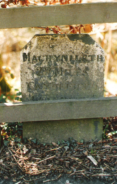
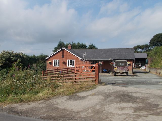
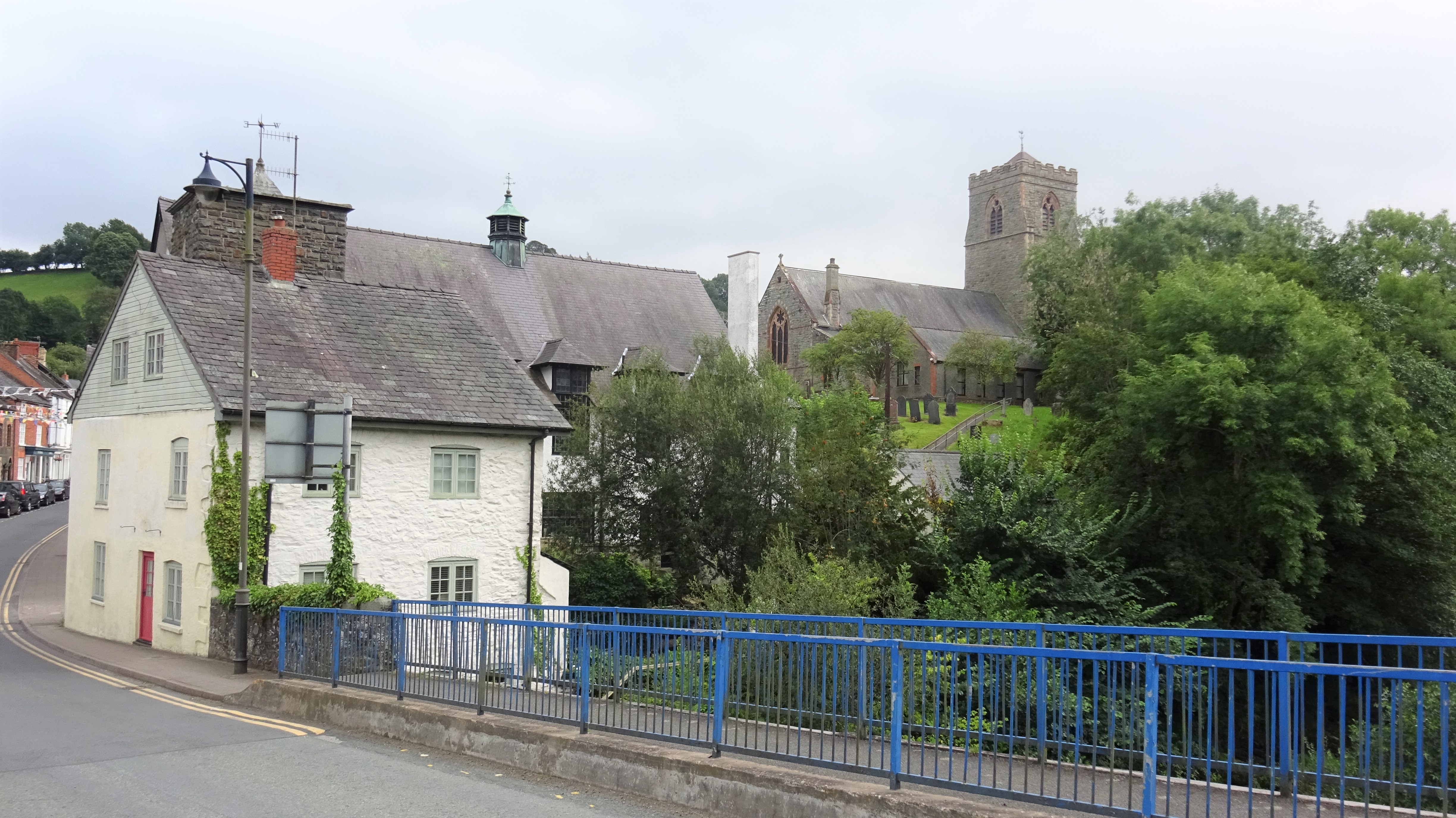
Coed Bryn-glâs Images

Images are sourced within 2km of 52.640269/-3.3445821 or Grid Reference SJ0905. Thanks to Geograph Open Source API. All images are credited.

Old Milestone by the B4385, Melin-y-Ddôl, Llanfair Caereinion parish Stone post (broken) by the B4385, in parish of Llanfair Caereinion (Powys District), Melin-y-Ddôl, on verge, east side of road.

Inscription once read:-
: (Machynlleth 29) : : (Llanfair / 1) :

Surveyed

Milestone Society National ID: MOT_MCLC29
Old Milestone by the B4385, Melin-y-Ddôl, Llanfair Caereinion parish
Stone post (broken) by the B4385, in parish of Llanfair Caereinion (Powys District), Melin-y-Ddôl, on verge, east side of road. Inscription once read:- : (Machynlleth 29) : : (Llanfair / 1) : Surveyed Milestone Society National ID: MOT_MCLC29
Old Milestone by the A458, south of Llanoddian Hall, Llanfair Caereinion Machynlleth Chamfer by the A458, in parish of Llanfair Caereinion (Powys District), Llanoddian, beyond footpath, behind railing.

Inscription reads:-
MACHYNLLETH
20 MILES
CANOFFICE 6
LLANFAIR 1
POOL 9

Grade II listed by Cadw.
Reference Number: 18364 <span class="nowrap"><a title="https://cadwpublic-api.azurewebsites.net/reports/listedbuilding/FullReport?lang=&id=18364" rel="nofollow ugc noopener" href="https://cadwpublic-api.azurewebsites.net/reports/listedbuilding/FullReport?lang=&id=18364">Link</a><img style="margin-left:2px;" alt="External link" title="External link - shift click to open in new window" src="https://s1.geograph.org.uk/img/external.png" width="10" height="10"/></span>

Surveyed

Milestone Society National ID: MOT_MCWP29
Old Milestone by the A458, south of Llanoddian Hall, Llanfair Caereinion
Machynlleth Chamfer by the A458, in parish of Llanfair Caereinion (Powys District), Llanoddian, beyond footpath, behind railing. Inscription reads:- MACHYNLLETH 20 MILES CANOFFICE 6 LLANFAIR 1 POOL 9 Grade II listed by Cadw. Reference Number: 18364 LinkExternal link Surveyed Milestone Society National ID: MOT_MCWP29
Stone circle in Goat Field Arboretum
B4389 south from just south of Pen'y Lan entrance
Crossroads near Wenallt Not visible but there is a phone box here
Crossroads near Wenallt
Not visible but there is a phone box here
Climbing by Coed Hengefn Just north of crossroads
Climbing by Coed Hengefn
Just north of crossroads
Entrance to Glyn Farm Farm entrance at end of fence on left. Looking towards Llanfair Caereinion
Entrance to Glyn Farm
Farm entrance at end of fence on left. Looking towards Llanfair Caereinion
Approaching Llanfair Caereinion from Cefn Coch
Llanfair Caereinion ahead From the Cefn Coch road
Llanfair Caereinion ahead
From the Cefn Coch road
New bungalow on B4389 at Bryn Haul
Llanfair Caereinion road junction from A458
Ordnance Survey Cut Mark This OS cut mark can be found on the Zion Baptist Chapel. It marks a point 134.697m above mean sea level.
Ordnance Survey Cut Mark
This OS cut mark can be found on the Zion Baptist Chapel. It marks a point 134.697m above mean sea level.
Static exhibit at Llanfair station This is ex- Sierra Leone government railway no 85 awaiting restoration
Static exhibit at Llanfair station
This is ex- Sierra Leone government railway no 85 awaiting restoration
Railway at Llanfair
Railway at Llanfair
Bridge Street, Llanfair Caereinion in 1969 Looking down Bridge Street in August 1969.
Bridge Street, Llanfair Caereinion in 1969
Looking down Bridge Street in August 1969.
St. Mary's Church, Llanfair Caereinion in 1969
Llanfair Caereinion Station One of the termini of this preserved narrow gauge railway in the Welsh borders. The locomotive is a Hunslet repatriated from Sierra Leone and awaiting funding for a return to steam. See - <a href="https://www.geograph.org.uk/photo/5505379">SJ6903 : Blists Hill Victorian Town - steam locomotive</a>.
Llanfair Caereinion Station
One of the termini of this preserved narrow gauge railway in the Welsh borders. The locomotive is a Hunslet repatriated from Sierra Leone and awaiting funding for a return to steam. See - SJ6903 : Blists Hill Victorian Town - steam locomotive.
Llanfair Caereinion Station One terminus of the Welshpool & Llanfair Light Railway that was opened in 1903 to service local agricultural villages. Locomotive The Earl was built in 1902 and was one of the two original engines that serviced the line until closure in 1956.
Llanfair Caereinion Station
One terminus of the Welshpool & Llanfair Light Railway that was opened in 1903 to service local agricultural villages. Locomotive The Earl was built in 1902 and was one of the two original engines that serviced the line until closure in 1956.
Show me another place!

Coed Bryn-glâs is located at Grid Ref: SJ0905 (Lat: 52.640269, Lng: -3.3445821)

Unitary Authority: Powys

Police Authority: Dyfed Powys

What 3 Words

///reactions.skipped.caves. Near Llanfair Caereinion, Powys

Nearby Locations

Coed Bryn-glâs

Related Wikis

Caereinion High School

Caereinion High School (Welsh: Ysgol Uwchradd Caereinion) is an 11–18 mixed, bilingual community secondary school and sixth form in Llanfair Caereinion...

Llanfair Caereinion

Llanfair Caereinion is a market town and community in Montgomeryshire, Powys, Wales upon the River Banwy (also known as the River Einion), around 8 miles...

Battle of Maes Moydog

The Battle of Maes Moydog took place at the field of Moydog (Welsh: Maidog, also Meidiog) on 5 March 1295 during the revolt of Madog ap Llywelyn and others...

Llanfair United F.C.

Llanfair United are an amateur football team who are from Llanfair Caereinion, Powys, Wales. They play in the Ardal Leagues North East whilst their reserve...

Llanfair Caereinion railway station

Llanfair Caereinion railway station located in Llanfair Caereinion is the Western terminus of the 2 ft 6 in (762 mm) narrow gauge Welshpool and Llanfair...

Hen Llys

Hen Llys (or Henllys Hall) is a house in Manafon, Powys, Wales. It is a Grade II listed building. In his biography of John Douglas, Edward Hubbard attributes...

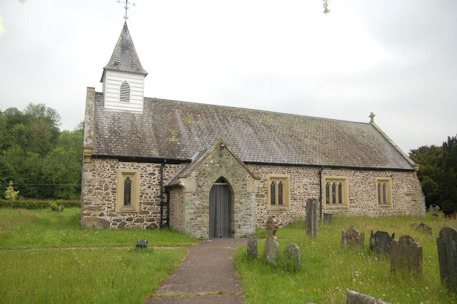
St Michael's Church, Manafon

St Michael's Church is in the small village of Manafon, Powys, Wales. It is an active Anglican church in the parish of Llanfair Caereinion, Llanllugan...

Manafon

Manafon is a small rural community located in the hills of Montgomeryshire, the Northern part of the Welsh county of Powys. The Parish focuses on the valley...

Nearby Amenities

Located within 500m of 52.640269,-3.3445821
Power: pole
Lat/Long: 52.6375556/-3.3502883
Power: pole
Lat/Long: 52.6371178/-3.3494809
Power: pole
Lat/Long: 52.6368378/-3.3489123
Power: pole
Lat/Long: 52.6365301/-3.3483437
Power: pole
Lat/Long: 52.636229/-3.3462328
Power: pole
Lat/Long: 52.6369127/-3.3450767
Power: pole
Lat/Long: 52.6375475/-3.3439583
Power: pole
Lat/Long: 52.6382474/-3.3427727
Power: pole
Lat/Long: 52.6387682/-3.341842
Power: pole
Lat/Long: 52.639263/-3.340973
Power: pole
Lat/Long: 52.6395056/-3.3400261
Power: pole
Lat/Long: 52.6399499/-3.3381861
Direction: SSE
Generator Method: photovoltaic
Generator Output Electricity: yes
Generator Solar Modules: 16
Generator Source: solar
Generator Type: solar_photovoltaic_panel
Location: roof
Power: generator
Lat/Long: 52.6434833/-3.3397096
The data included in this document is from www.openstreetmap.org. The data is made available under ODbL.

Have you been to Coed Bryn-glâs?

Leave your review of Coed Bryn-glâs below (or comments, questions and feedback).