Coed Jenny-Morgan

Wood, Forest in Flintshire

Wales

Coed Jenny-Morgan

Engine House, Pennant Mine
Engine House, Pennant Mine Credit: Chris Andrews

Coed Jenny-Morgan is a picturesque woodland area located in Flintshire, Wales. The woodland is part of a larger forest known as Coed Morgan, which encompasses a diverse range of trees, plants, and wildlife. The area is a popular destination for nature enthusiasts and those seeking a tranquil retreat.

Covering an extensive area, Coed Jenny-Morgan boasts an impressive array of tree species, including oak, beech, birch, and ash. These trees provide a lush canopy that offers shade and shelter for the numerous creatures that call the forest home. The forest floor is carpeted with an assortment of wildflowers, ferns, and mosses, creating a vibrant and enchanting atmosphere.

The woodland is crisscrossed with a network of walking trails that allow visitors to explore the area at their own pace. These trails lead through dense thickets, along babbling brooks, and up gentle hills, providing breathtaking views of the surrounding countryside. In addition to walking, the forest is also a popular spot for bird watching, with various species of birds, including woodpeckers, robins, and finches, frequently spotted.

Coed Jenny-Morgan is a haven for wildlife, with various mammals such as foxes, badgers, and squirrels inhabiting the area. It is also home to a rich variety of insect life, including butterflies, dragonflies, and beetles. Visitors may also catch a glimpse of larger animals like deer or hedgehogs, adding to the allure of this natural sanctuary.

Overall, Coed Jenny-Morgan offers a peaceful and idyllic setting where visitors can immerse themselves in the beauty of nature. Whether it's a leisurely stroll through the woods or a chance to spot wildlife, this woodland retreat promises a memorable experience for all who visit.

If you have any feedback on the listing, please let us know in the comments section below.

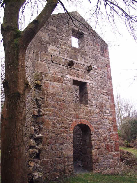
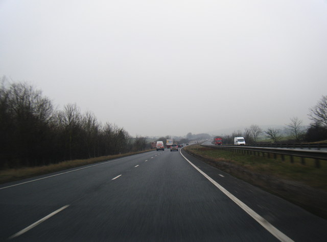
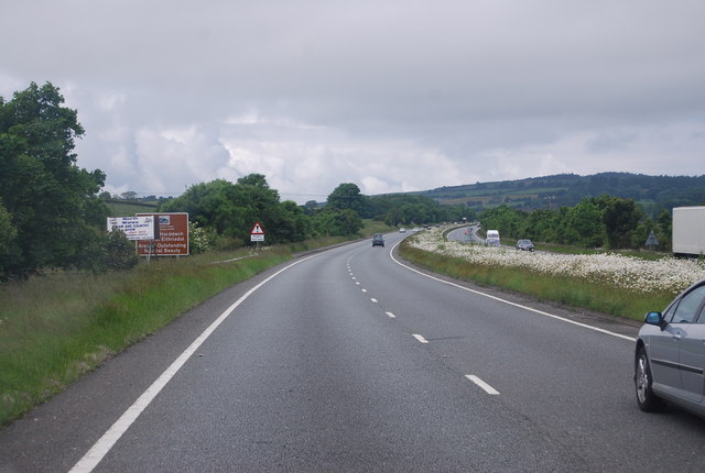
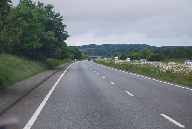
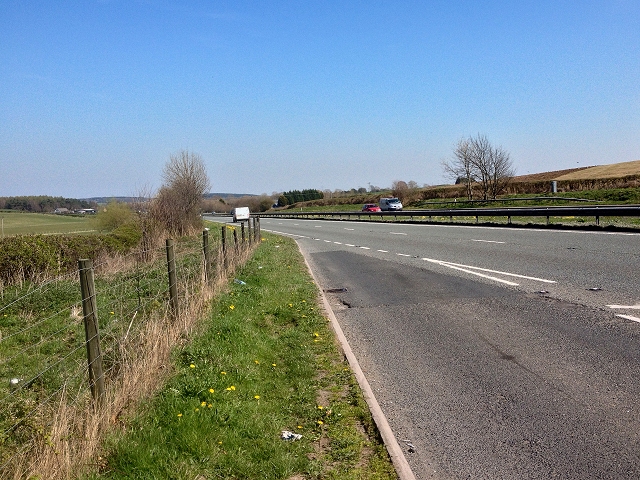
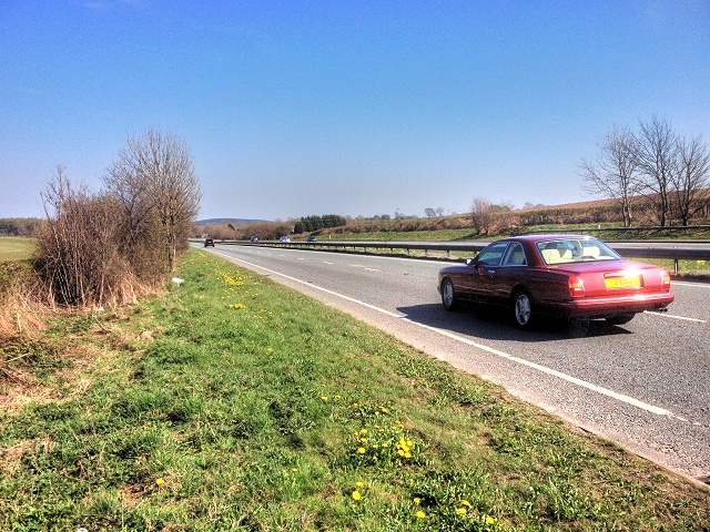
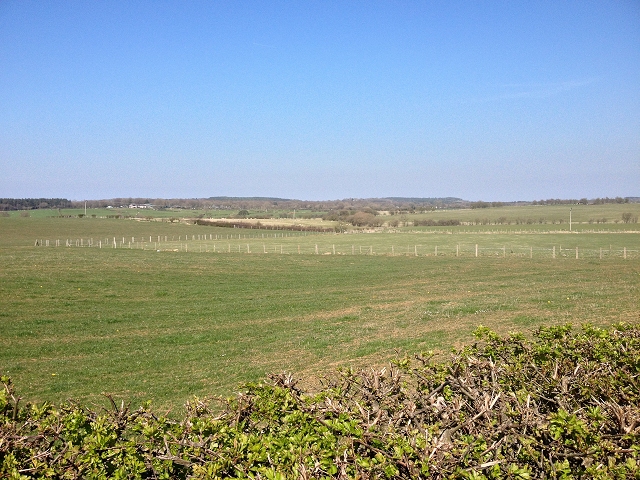
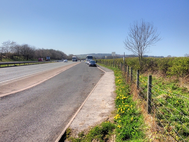
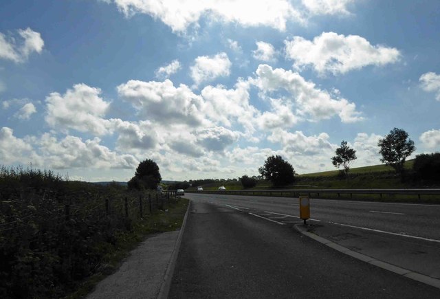
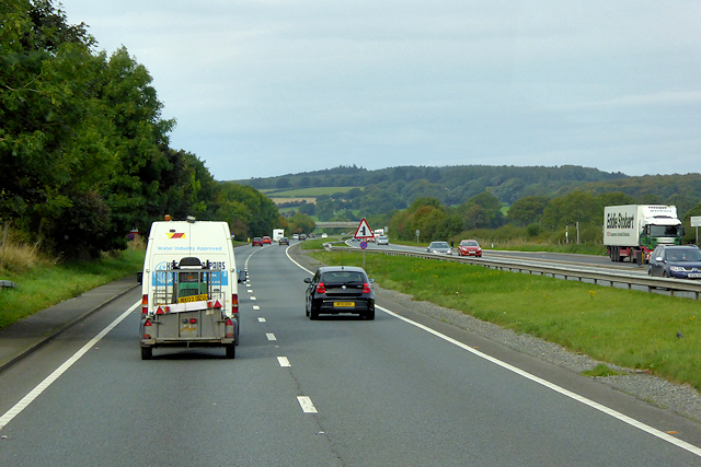
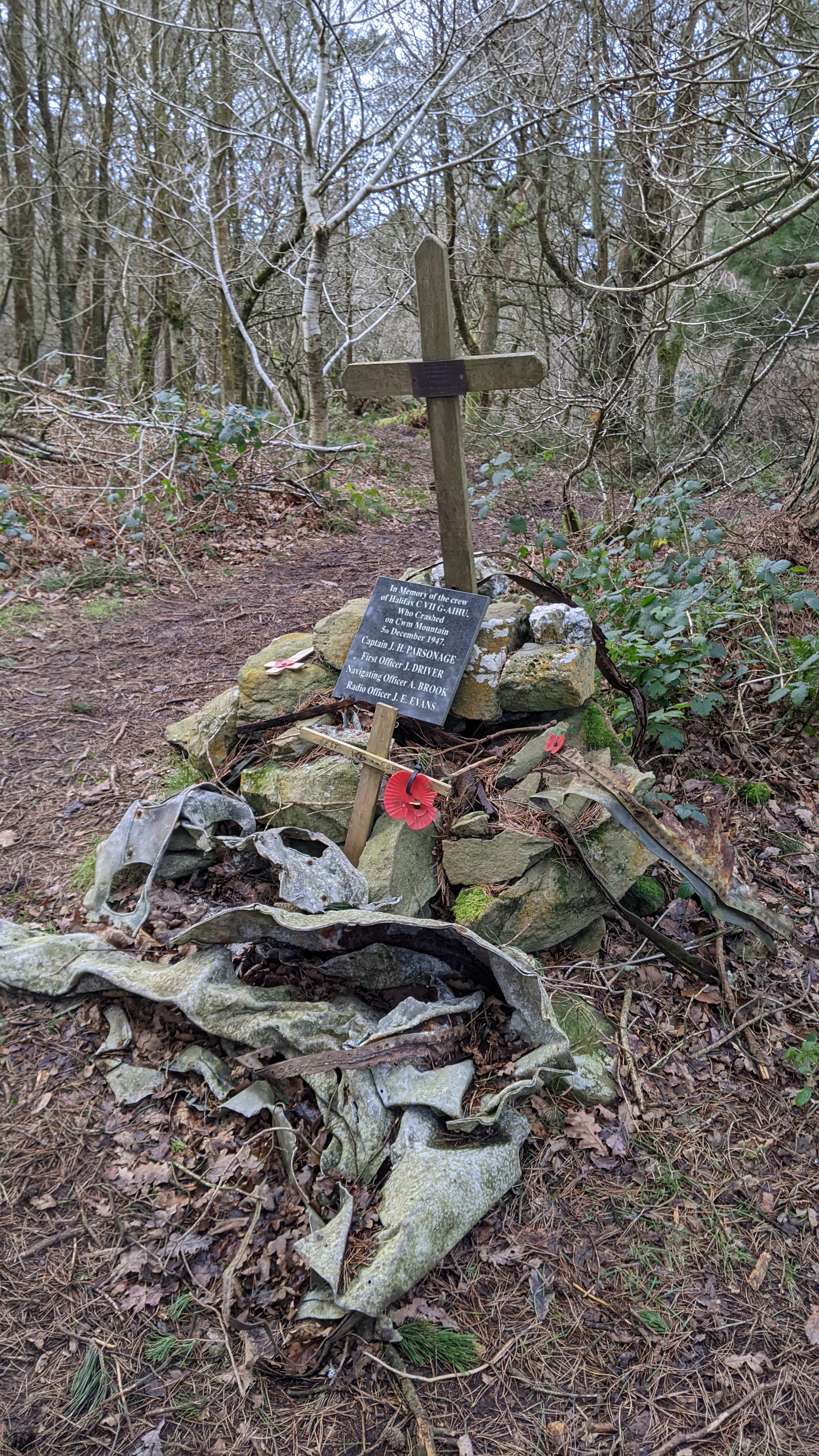
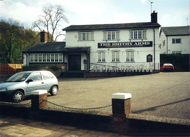
Coed Jenny-Morgan Images

Images are sourced within 2km of 53.277507/-3.3661831 or Grid Reference SJ0976. Thanks to Geograph Open Source API. All images are credited.

Engine House, Pennant Mine
A55 westbound
A55 westbound
A55, westbound The A55 is also known as the North Wales expressway. Originally it ran from Chester to Bangor, but was extended in 2001 across Anglesey to Holyhead. It is dual carriageway along its entire length.
Wikipedia: <span class="nowrap"><a title="http://en.wikipedia.org/wiki/A55_road" rel="nofollow ugc noopener" href="http://en.wikipedia.org/wiki/A55_road">Link</a><img style="margin-left:2px;" alt="External link" title="External link - shift click to open in new window" src="https://s1.geograph.org.uk/img/external.png" width="10" height="10"/></span>
A55, westbound
The A55 is also known as the North Wales expressway. Originally it ran from Chester to Bangor, but was extended in 2001 across Anglesey to Holyhead. It is dual carriageway along its entire length. Wikipedia: LinkExternal link
The A55 The A55 is also known as the North Wales expressway. Originally it ran from Chester to Bangor, but was extended in 2001 across Anglesey to Holyhead. It is dual carriageway along its entire length.
Wikipedia: <span class="nowrap"><a title="http://en.wikipedia.org/wiki/A55_road" rel="nofollow ugc noopener" href="http://en.wikipedia.org/wiki/A55_road">Link</a><img style="margin-left:2px;" alt="External link" title="External link - shift click to open in new window" src="https://s1.geograph.org.uk/img/external.png" width="10" height="10"/></span>
The A55
The A55 is also known as the North Wales expressway. Originally it ran from Chester to Bangor, but was extended in 2001 across Anglesey to Holyhead. It is dual carriageway along its entire length. Wikipedia: LinkExternal link
North Wales Expressway (A55) near Pen-y-Cefn The A55, also known as the North Wales Expressway (Gwibffordd Gogledd Cymru), is the major road in North Wales running for 88 miles between Chester and Holyhead via Conwy and Bangor. 

The A55 is a very high quality road, much of it rebuilt since the 1970s in response to traffic problems in Colwyn Bay, Colwyn and Llandudno caused by traffic having to pass through town centres on totally unsuitable streets, (especially in Conwy where lorries often scraped their paintwork as they passed through 12th century arches in the town's walls), leading to the construction of an east-west expressway bypassing the urban centres. It is a dual carriageway primary route for its entire length with the exception of the point where it crosses the Britannia Bridge over the Menai Strait. All of its junctions are grade separated except for two roundabouts; one east of Penmaenmawr and one in Llanfairfechan. The road originally ran from Chester to Bangor but was extended parallel to the A5 across Anglesey right into Holyhead Docks in 2001.

<span class="nowrap"><a title="http://www.sabre-roads.org.uk/wiki/index.php?title=A55" rel="nofollow ugc noopener" href="http://www.sabre-roads.org.uk/wiki/index.php?title=A55">Link</a><img style="margin-left:2px;" alt="External link" title="External link - shift click to open in new window" src="https://s1.geograph.org.uk/img/external.png" width="10" height="10"/></span>  SABRE
North Wales Expressway (A55) near Pen-y-Cefn
The A55, also known as the North Wales Expressway (Gwibffordd Gogledd Cymru), is the major road in North Wales running for 88 miles between Chester and Holyhead via Conwy and Bangor. The A55 is a very high quality road, much of it rebuilt since the 1970s in response to traffic problems in Colwyn Bay, Colwyn and Llandudno caused by traffic having to pass through town centres on totally unsuitable streets, (especially in Conwy where lorries often scraped their paintwork as they passed through 12th century arches in the town's walls), leading to the construction of an east-west expressway bypassing the urban centres. It is a dual carriageway primary route for its entire length with the exception of the point where it crosses the Britannia Bridge over the Menai Strait. All of its junctions are grade separated except for two roundabouts; one east of Penmaenmawr and one in Llanfairfechan. The road originally ran from Chester to Bangor but was extended parallel to the A5 across Anglesey right into Holyhead Docks in 2001. LinkExternal link SABRE
A55, North Wales Expressway The A55, also known as the North Wales Expressway (Gwibffordd Gogledd Cymru), is the major road in North Wales running for 88 miles between Chester and Holyhead via Conwy and Bangor. 

The A55 is a very high quality road, much of it rebuilt since the 1970s in response to traffic problems in Colwyn Bay, Colwyn and Llandudno caused by traffic having to pass through town centres on totally unsuitable streets, (especially in Conwy where lorries often scraped their paintwork as they passed through 12th century arches in the town's walls), leading to the construction of an east-west expressway bypassing the urban centres. It is a dual carriageway primary route for its entire length with the exception of the point where it crosses the Britannia Bridge over the Menai Strait. All of its junctions are grade separated except for two roundabouts; one east of Penmaenmawr and one in Llanfairfechan. The road originally ran from Chester to Bangor but was extended parallel to the A5 across Anglesey right into Holyhead Docks in 2001.

<span class="nowrap"><a title="http://www.sabre-roads.org.uk/wiki/index.php?title=A55" rel="nofollow ugc noopener" href="http://www.sabre-roads.org.uk/wiki/index.php?title=A55">Link</a><img style="margin-left:2px;" alt="External link" title="External link - shift click to open in new window" src="https://s1.geograph.org.uk/img/external.png" width="10" height="10"/></span>  SABRE
A55, North Wales Expressway
The A55, also known as the North Wales Expressway (Gwibffordd Gogledd Cymru), is the major road in North Wales running for 88 miles between Chester and Holyhead via Conwy and Bangor. The A55 is a very high quality road, much of it rebuilt since the 1970s in response to traffic problems in Colwyn Bay, Colwyn and Llandudno caused by traffic having to pass through town centres on totally unsuitable streets, (especially in Conwy where lorries often scraped their paintwork as they passed through 12th century arches in the town's walls), leading to the construction of an east-west expressway bypassing the urban centres. It is a dual carriageway primary route for its entire length with the exception of the point where it crosses the Britannia Bridge over the Menai Strait. All of its junctions are grade separated except for two roundabouts; one east of Penmaenmawr and one in Llanfairfechan. The road originally ran from Chester to Bangor but was extended parallel to the A5 across Anglesey right into Holyhead Docks in 2001. LinkExternal link SABRE
Farmland near to Pen-y-Cefn
Layby on the North Wales Expressway The A55, also known as the North Wales Expressway (Gwibffordd Gogledd Cymru), is the major road in North Wales running for 88 miles between Chester and Holyhead via Conwy and Bangor. 

The A55 is a very high quality road, much of it rebuilt since the 1970s in response to traffic problems in Colwyn Bay, Colwyn and Llandudno caused by traffic having to pass through town centres on totally unsuitable streets, (especially in Conwy where lorries often scraped their paintwork as they passed through 12th century arches in the town's walls), leading to the construction of an east-west expressway bypassing the urban centres. It is a dual carriageway primary route for its entire length with the exception of the point where it crosses the Britannia Bridge over the Menai Strait. All of its junctions are grade separated except for two roundabouts; one east of Penmaenmawr and one in Llanfairfechan. The road originally ran from Chester to Bangor but was extended parallel to the A5 across Anglesey right into Holyhead Docks in 2001.

<span class="nowrap"><a title="http://www.sabre-roads.org.uk/wiki/index.php?title=A55" rel="nofollow ugc noopener" href="http://www.sabre-roads.org.uk/wiki/index.php?title=A55">Link</a><img style="margin-left:2px;" alt="External link" title="External link - shift click to open in new window" src="https://s1.geograph.org.uk/img/external.png" width="10" height="10"/></span>  SABRE
Layby on the North Wales Expressway
The A55, also known as the North Wales Expressway (Gwibffordd Gogledd Cymru), is the major road in North Wales running for 88 miles between Chester and Holyhead via Conwy and Bangor. The A55 is a very high quality road, much of it rebuilt since the 1970s in response to traffic problems in Colwyn Bay, Colwyn and Llandudno caused by traffic having to pass through town centres on totally unsuitable streets, (especially in Conwy where lorries often scraped their paintwork as they passed through 12th century arches in the town's walls), leading to the construction of an east-west expressway bypassing the urban centres. It is a dual carriageway primary route for its entire length with the exception of the point where it crosses the Britannia Bridge over the Menai Strait. All of its junctions are grade separated except for two roundabouts; one east of Penmaenmawr and one in Llanfairfechan. The road originally ran from Chester to Bangor but was extended parallel to the A5 across Anglesey right into Holyhead Docks in 2001. LinkExternal link SABRE
A55 layby heading east
North Wales Expressway, West of Pen-y-Cefn The A55, also known as the North Wales Expressway (Gwibffordd Gogledd Cymru), is the major road in North Wales running for 88 miles between Chester and Holyhead via Conwy and Bangor. 

The A55 is a very high quality road, much of it rebuilt since the 1970s in response to traffic problems in Colwyn Bay, Colwyn and Llandudno caused by traffic having to pass through town centres on totally unsuitable streets, (especially in Conwy where lorries often scraped their paintwork as they passed through 12th century arches in the town's walls), leading to the construction of an east-west expressway bypassing the urban centres. It is a dual carriageway primary route for its entire length with the exception of the point where it crosses the Britannia Bridge over the Menai Strait. All of its junctions are grade separated except for two roundabouts; one east of Penmaenmawr and one in Llanfairfechan. The road originally ran from Chester to Bangor but was extended parallel to the A5 across Anglesey right into Holyhead Docks in 2001.

<span class="nowrap"><a title="http://www.sabre-roads.org.uk/wiki/index.php?title=A55" rel="nofollow ugc noopener" href="http://www.sabre-roads.org.uk/wiki/index.php?title=A55">Link</a><img style="margin-left:2px;" alt="External link" title="External link - shift click to open in new window" src="https://s1.geograph.org.uk/img/external.png" width="10" height="10"/></span>  SABRE
North Wales Expressway, West of Pen-y-Cefn
The A55, also known as the North Wales Expressway (Gwibffordd Gogledd Cymru), is the major road in North Wales running for 88 miles between Chester and Holyhead via Conwy and Bangor. The A55 is a very high quality road, much of it rebuilt since the 1970s in response to traffic problems in Colwyn Bay, Colwyn and Llandudno caused by traffic having to pass through town centres on totally unsuitable streets, (especially in Conwy where lorries often scraped their paintwork as they passed through 12th century arches in the town's walls), leading to the construction of an east-west expressway bypassing the urban centres. It is a dual carriageway primary route for its entire length with the exception of the point where it crosses the Britannia Bridge over the Menai Strait. All of its junctions are grade separated except for two roundabouts; one east of Penmaenmawr and one in Llanfairfechan. The road originally ran from Chester to Bangor but was extended parallel to the A5 across Anglesey right into Holyhead Docks in 2001. LinkExternal link SABRE
Ffordd ger Llyn Helyg / Road near Llyn Helyg
Tir Pori ger Plas Mawr / Grazing land near Plas Mawr
A peep at Hendre Bach Hidden behind large bushes
A peep at Hendre Bach
Hidden behind large bushes
A55 eastbound near Rhuallt
A55 westbound
A55 westbound
Bridge over the A55 The A55 is also known as the North Wales expressway. Originally it ran from Chester to Bangor, but was extended in 2001 across Anglesey to Holyhead. It is dual carriageway along its entire length.
Wikipedia: <span class="nowrap"><a title="http://en.wikipedia.org/wiki/A55_road" rel="nofollow ugc noopener" href="http://en.wikipedia.org/wiki/A55_road">Link</a><img style="margin-left:2px;" alt="External link" title="External link - shift click to open in new window" src="https://s1.geograph.org.uk/img/external.png" width="10" height="10"/></span>
Bridge over the A55
The A55 is also known as the North Wales expressway. Originally it ran from Chester to Bangor, but was extended in 2001 across Anglesey to Holyhead. It is dual carriageway along its entire length. Wikipedia: LinkExternal link
Rock cutting, A55 The A55 is also known as the North Wales expressway. Originally it ran from Chester to Bangor, but was extended in 2001 across Anglesey to Holyhead. It is dual carriageway along its entire length.
Wikipedia: <span class="nowrap"><a title="http://en.wikipedia.org/wiki/A55_road" rel="nofollow ugc noopener" href="http://en.wikipedia.org/wiki/A55_road">Link</a><img style="margin-left:2px;" alt="External link" title="External link - shift click to open in new window" src="https://s1.geograph.org.uk/img/external.png" width="10" height="10"/></span>
Rock cutting, A55
The A55 is also known as the North Wales expressway. Originally it ran from Chester to Bangor, but was extended in 2001 across Anglesey to Holyhead. It is dual carriageway along its entire length. Wikipedia: LinkExternal link
A55, Junction 29 The A55 is also known as the North Wales expressway. Originally it ran from Chester to Bangor, but was extended in 2001 across Anglesey to Holyhead. It is dual carriageway along its entire length.
Wikipedia: <span class="nowrap"><a title="http://en.wikipedia.org/wiki/A55_road" rel="nofollow ugc noopener" href="http://en.wikipedia.org/wiki/A55_road">Link</a><img style="margin-left:2px;" alt="External link" title="External link - shift click to open in new window" src="https://s1.geograph.org.uk/img/external.png" width="10" height="10"/></span>
A55, Junction 29
The A55 is also known as the North Wales expressway. Originally it ran from Chester to Bangor, but was extended in 2001 across Anglesey to Holyhead. It is dual carriageway along its entire length. Wikipedia: LinkExternal link
Show me another place!

Coed Jenny-Morgan is located at Grid Ref: SJ0976 (Lat: 53.277507, Lng: -3.3661831)

Unitary Authority: Denbighshire

Police Authority: North Wales

What 3 Words

///chimp.widely.kindest. Near Cwm, Denbighshire

Nearby Locations

Coed Jenny-Morgan

Related Wikis

Hendre Bach

Hendre Bach is a Site of Special Scientific Interest in the preserved county of Clwyd, north Wales. == See also == List of Sites of Special Scientific...

Mynydd y Cwm

Mynydd y Cwm is a hill in the Clwydian Range in Denbighshire, North Wales. It reaches a height of 304.8 metres (1,000 feet). It has recently been promoted...

Rhuallt

Rhuallt is a village in Denbighshire, Wales. The village is situated approximately 5 mi (8.0 km) south of Prestatyn and 2 mi (3.2 km) east of St Asaph...

St Beuno's Jesuit Spirituality Centre

St Beuno's Jesuit Spirituality Centre, known locally as St Beuno's College, is a spirituality and retreat centre in Tremeirchion, Denbighshire, Wales....
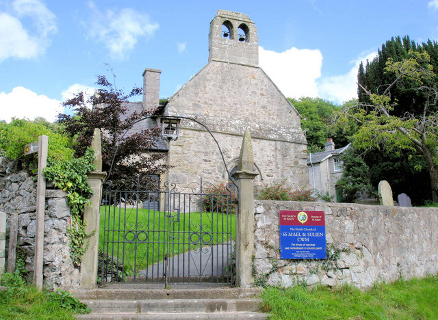
Cwm, Denbighshire

Cwm is a village and community in Denbighshire, below the hill Mynydd y Cwm. The church in Cwm is dedicated to two 6th-century saints, St Mael and St Sulien...

St Michael's Church, Trelawnyd

St Michael's Church, Trelawnyd, is in the village of Trelawnyd, Flintshire, Wales. It is an active Anglican parish church in the benefice of Dyserth and...

Moel Hiraddug

Moel Hiraddug, also known as Y Foel, is a hill fort and hill in the Clwydian Range of north-east Wales. The northern part of the hill has been eaten away...

Trelawnyd

Trelawnyd (formerly Newmarket from 1710 to 1954) is a village in Flintshire, Wales. The village had a population taken at the 2011 census of 584. It is...

Nearby Amenities

Located within 500m of 53.277507,-3.3661831
Ele: 185.658813
Lat/Long: 53.2735006/-3.3632577
Natural: spring
Lat/Long: 53.2740128/-3.3653442
Motorway Junction
Ref: 29
Lat/Long: 53.2733774/-3.3646114
Turning Circle
Lat/Long: 53.2767833/-3.3723994
Power: pole
Lat/Long: 53.2765174/-3.3588675
Power: pole
Lat/Long: 53.2759193/-3.3595231
Tumulus
Archaeological Site: tumulus
Historic: archaeological_site
Lat/Long: 53.2740139/-3.3636703
Power: pole
Lat/Long: 53.2747598/-3.3720743
Power: pole
Lat/Long: 53.2754814/-3.3721633
Generator Method: wind_turbine
Generator Source: wind
Power: generator
Lat/Long: 53.2792746/-3.3693395
Power: pole
Lat/Long: 53.2762057/-3.371437
Power: pole
Lat/Long: 53.2814145/-3.3634223
Power: pole
Lat/Long: 53.2809689/-3.3646844
Power: pole
Lat/Long: 53.2806324/-3.3656328
Power: pole
Lat/Long: 53.2802694/-3.3666276
Power: pole
Lat/Long: 53.2796159/-3.3684466
Power: pole
Lat/Long: 53.2793079/-3.3692962
Power: pole
Lat/Long: 53.2799198/-3.3676009
The data included in this document is from www.openstreetmap.org. The data is made available under ODbL.

Have you been to Coed Jenny-Morgan?

Leave your review of Coed Jenny-Morgan below (or comments, questions and feedback).