Coed Bell
Wood, Forest in Flintshire
Wales
Coed Bell
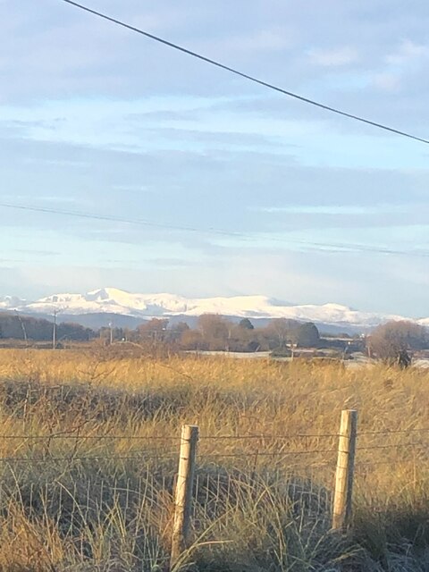
Coed Bell is a picturesque woodland located in Flintshire, Wales. Encompassing an area of approximately 200 acres, it is a designated Site of Special Scientific Interest (SSSI) due to its exceptional natural beauty and diverse ecosystem.
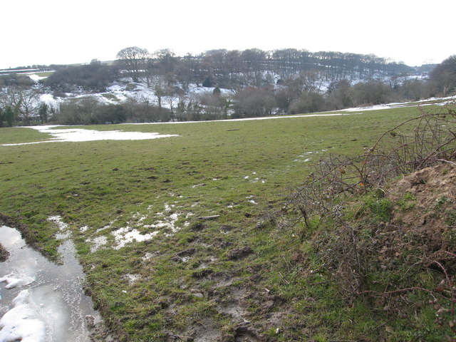
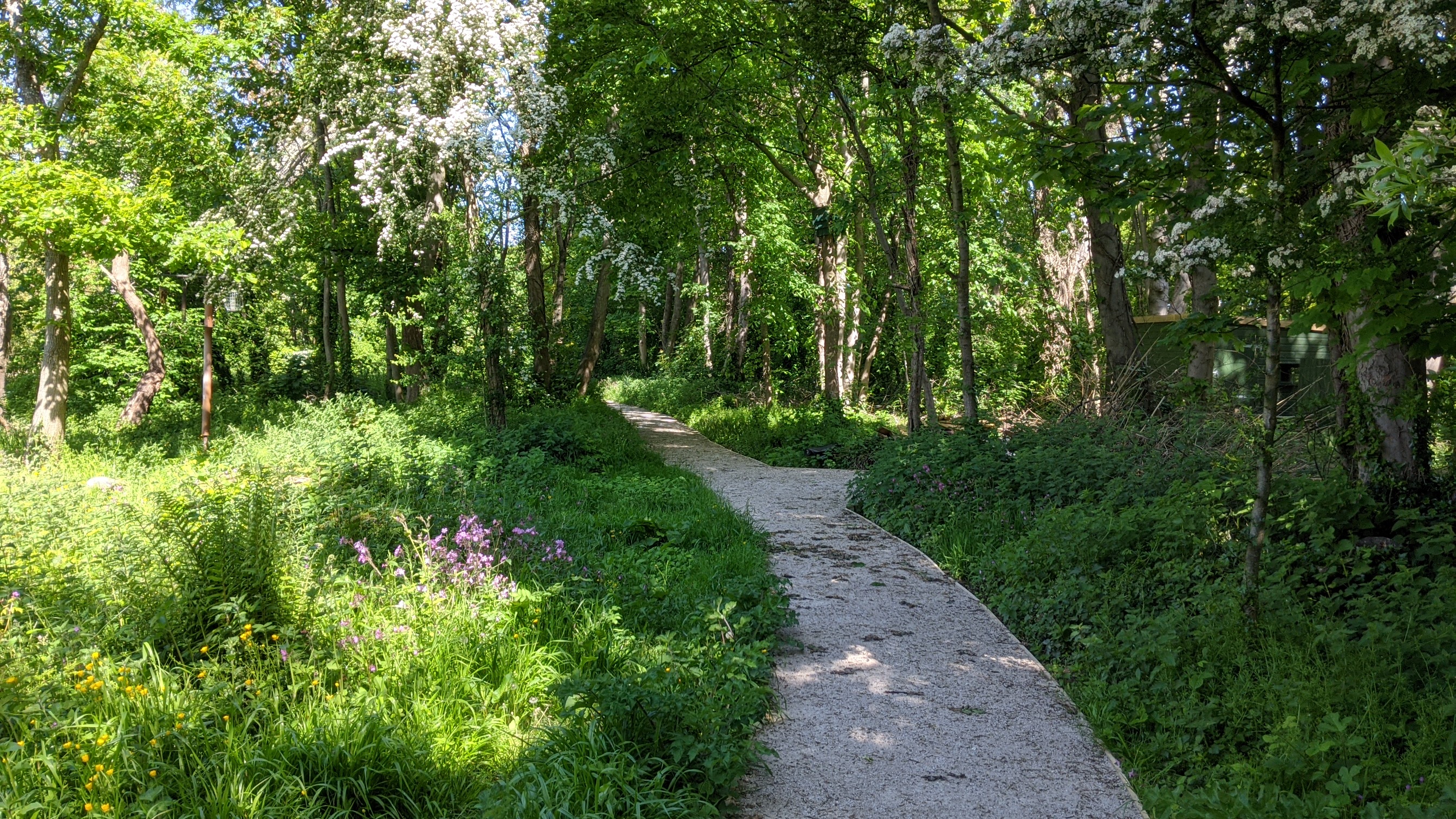
The woodland is primarily composed of native broadleaf trees, including oak, beech, and birch, creating a dense and vibrant forest canopy. This rich vegetation provides a habitat for a wide range of flora and fauna, making it a haven for nature enthusiasts and wildlife lovers.
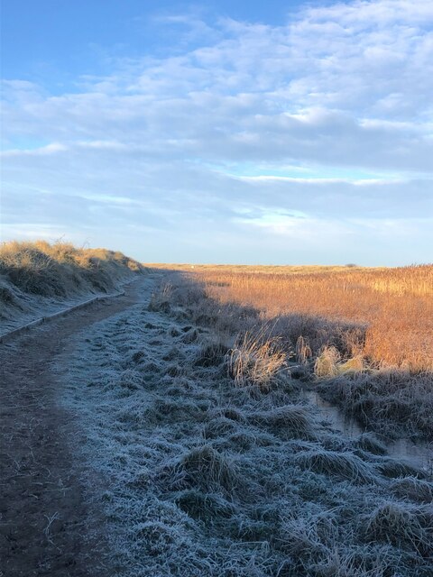
Coed Bell is crisscrossed by a network of well-maintained footpaths, allowing visitors to explore the woodland at their leisure. These paths meander through the forest, passing by tranquil streams and small ponds, enhancing the overall tranquility and charm of the area.
The woodland is home to a variety of bird species, such as woodpeckers, warblers, and owls, making it a popular spot for birdwatching. Additionally, small mammals like squirrels and hedgehogs can often be spotted scurrying through the undergrowth.
Coed Bell offers a peaceful retreat for those seeking respite from the hustle and bustle of everyday life. Its natural beauty and serene atmosphere make it an ideal location for leisurely walks, picnics, and photography. Moreover, the woodland provides valuable educational opportunities, with organized guided tours and educational programs available for schools and nature enthusiasts.
Overall, Coed Bell in Flintshire is a captivating woodland that showcases the beauty of Wales' natural landscapes. It offers a unique chance to immerse oneself in nature and discover the wonders of the Welsh countryside.
If you have any feedback on the listing, please let us know in the comments section below.
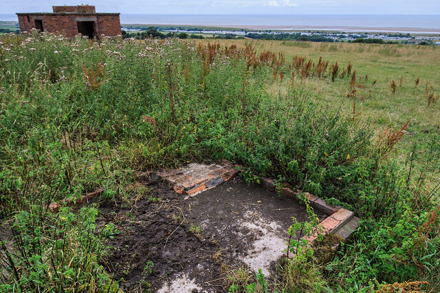
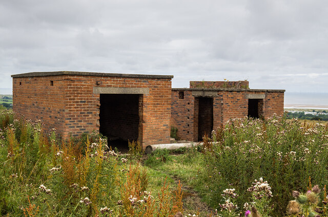
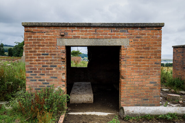
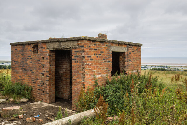
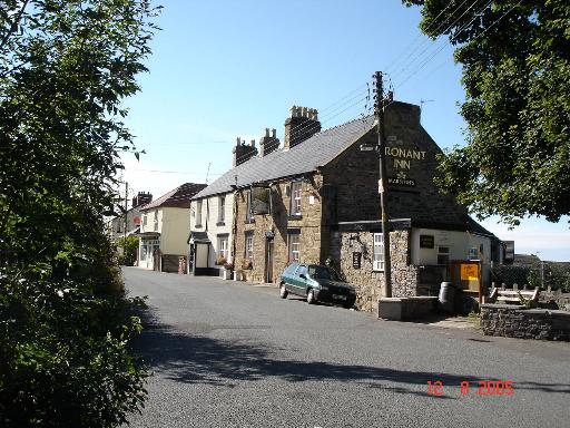
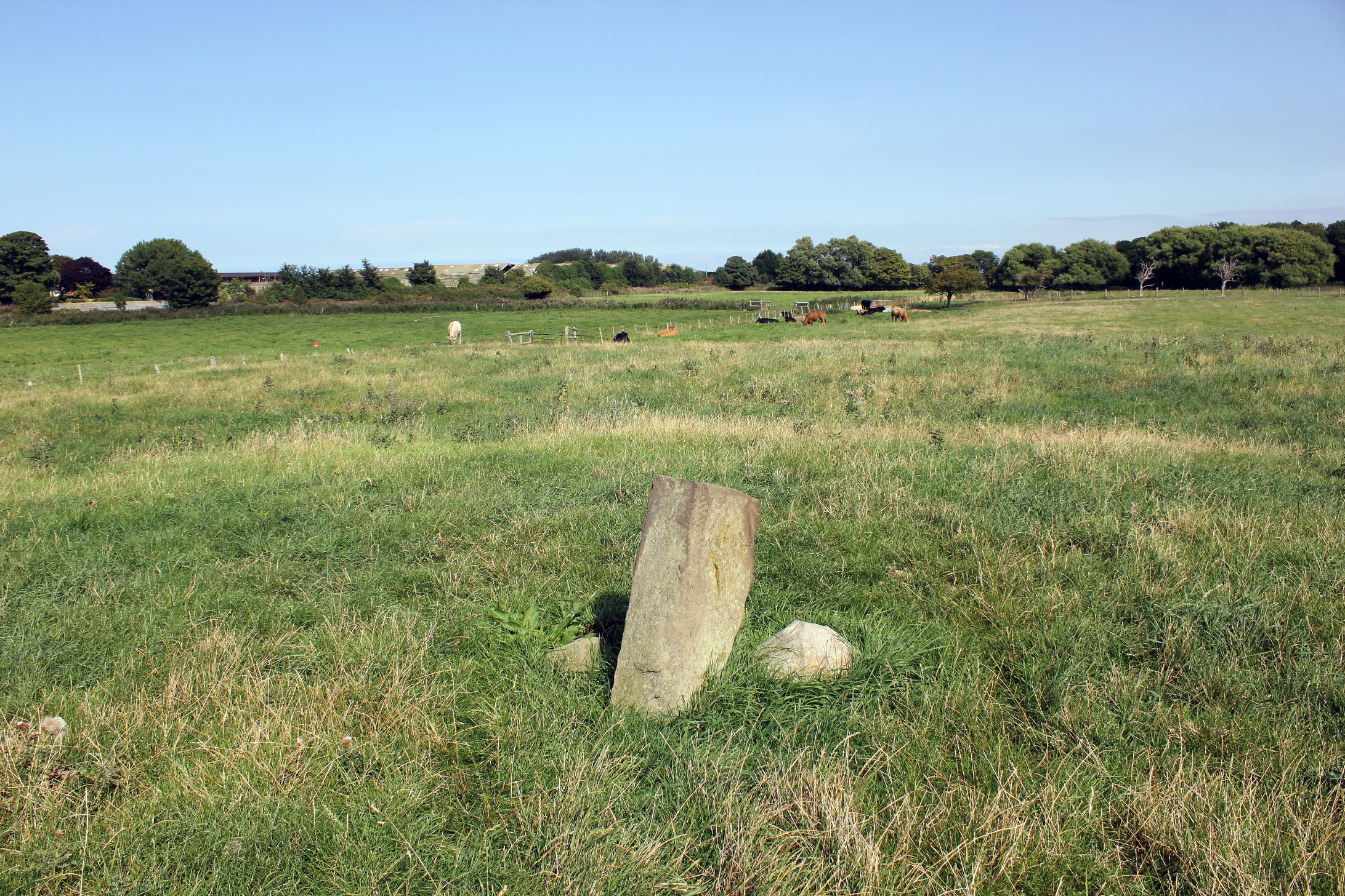
Coed Bell Images
Images are sourced within 2km of 53.336379/-3.3700469 or Grid Reference SJ0883. Thanks to Geograph Open Source API. All images are credited.


Coed Bell is located at Grid Ref: SJ0883 (Lat: 53.336379, Lng: -3.3700469)
Unitary Authority: Denbighshire
Police Authority: North Wales
What 3 Words
///brew.exists.villa. Near Gronant, Flintshire
Nearby Locations
Related Wikis
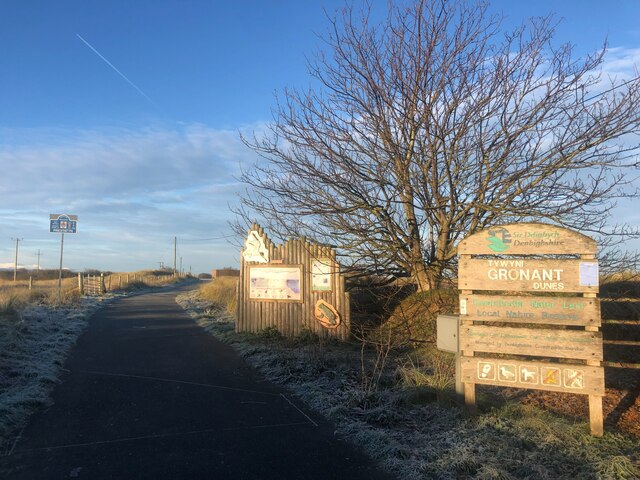
Gronant
Gronant is a village in Flintshire, Wales, about 2 miles east of Prestatyn. The population, as measured by the 2001 census, is 1,595, living in 697 households...

RAF Prestatyn
Royal Air Force Prestatyn or more simply RAF Prestatyn is a former Royal Air Force radar post situated near Prestatyn, in Denbighshire, north-east Wales...
Big Pool Wood
Big Pool Wood is a Nature reserve located near Gronant, Flintshire, Wales. The site is part of the Dee Estuary SSSI & SAC due to the unique wildlife and...
Prestatyn Castle
Prestatyn Castle is a motte and bailey castle in Prestatyn, Wales, built in 1157 on land granted to the Norman lord Robert Banastre by King Henry II of...
Nearby Amenities
Located within 500m of 53.336379,-3.3700469Have you been to Coed Bell?
Leave your review of Coed Bell below (or comments, questions and feedback).