Coed Talboeth
Wood, Forest in Flintshire
Wales
Coed Talboeth

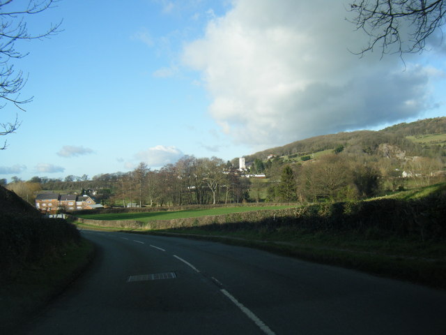
Coed Talboeth is a picturesque woodland located in Flintshire, Wales. Covering a vast area, it is a stunning forest that offers breathtaking views and a serene environment for nature enthusiasts and visitors alike.
The woodland is characterized by a diverse range of trees, including oak, beech, and birch, which create a rich and vibrant tapestry of colors throughout the year. The dense foliage provides a habitat for a variety of wildlife species, making it a popular spot for birdwatching and wildlife spotting.
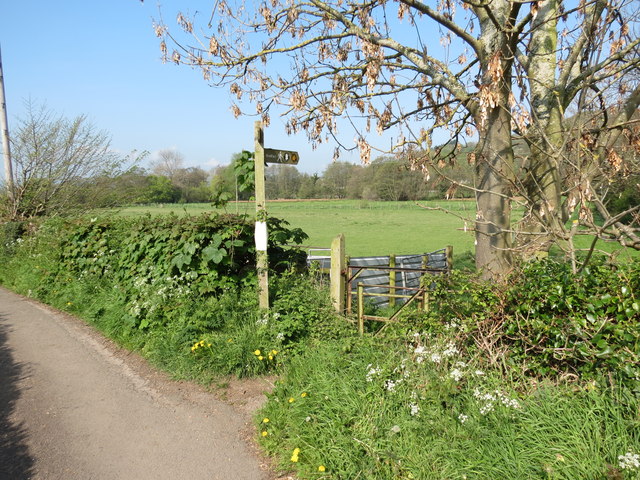
Tranquil walking trails wind their way through the forest, allowing visitors to immerse themselves in the natural beauty of the surroundings. These paths cater to all levels of fitness and offer a range of distances, from shorter, leisurely strolls to longer, more challenging hikes. Along the way, hikers can enjoy the peaceful atmosphere and listen to the soothing sounds of birds singing and leaves rustling in the wind.
Coed Talboeth is also a great place for outdoor activities and picnics. Families and friends can gather in designated areas equipped with picnic tables and enjoy a day out in the heart of nature. The woodland provides a safe and welcoming environment for children to explore, play, and learn about the importance of preserving the natural world.
Additionally, the forest promotes conservation and environmental education through various initiatives. It hosts workshops and educational programs that aim to raise awareness about the importance of sustainable practices and the preservation of natural habitats.
Overall, Coed Talboeth is a haven for nature lovers, offering a peaceful escape from the hustle and bustle of everyday life. Its scenic beauty, diverse wildlife, and recreational opportunities make it a must-visit destination for those seeking a connection with nature in Flintshire.
If you have any feedback on the listing, please let us know in the comments section below.
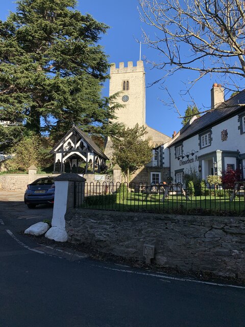
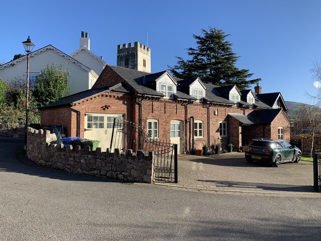
Coed Talboeth Images
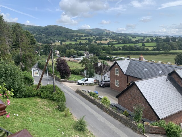
Images are sourced within 2km of 53.22986/-3.3687254 or Grid Reference SJ0871. Thanks to Geograph Open Source API. All images are credited.


Coed Talboeth is located at Grid Ref: SJ0871 (Lat: 53.22986, Lng: -3.3687254)
Unitary Authority: Denbighshire
Police Authority: North Wales
What 3 Words
///thrones.roadmap.hobbyists. Near Trefnant, Denbighshire
Nearby Locations
Related Wikis

Moel y Gaer, Bodfari
Moel y Gaer (Welsh for "bald hill of the fortress") is an Iron Age hillfort at the northern end of the Clwydian Range, located on a summit overlooking...

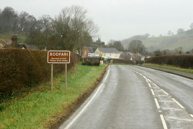
Bodfari
Bodfari is a village and community in Denbighshire, Wales. Until the local government reorganisation of 1974, Bodfari was in the historic county of Flintshire...
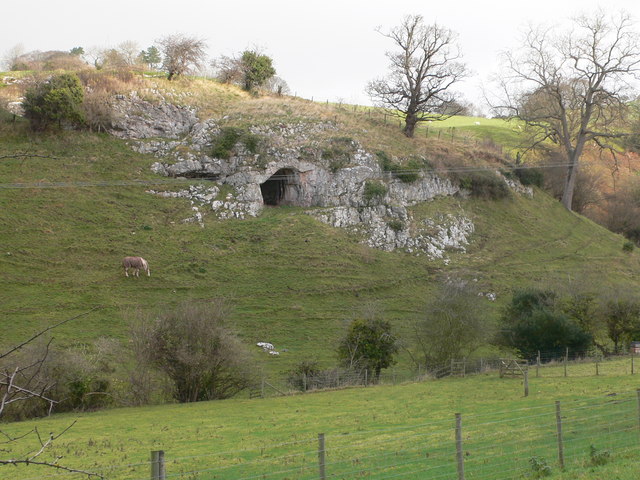
Ffynnon Beuno and Cae Gwyn Caves
Ffynnon Beuno and Cae Gwyn Caves are two Scheduled Ancient Monuments, in Denbighshire, Wales, which are also designated a Site of Special Scientific Interest...
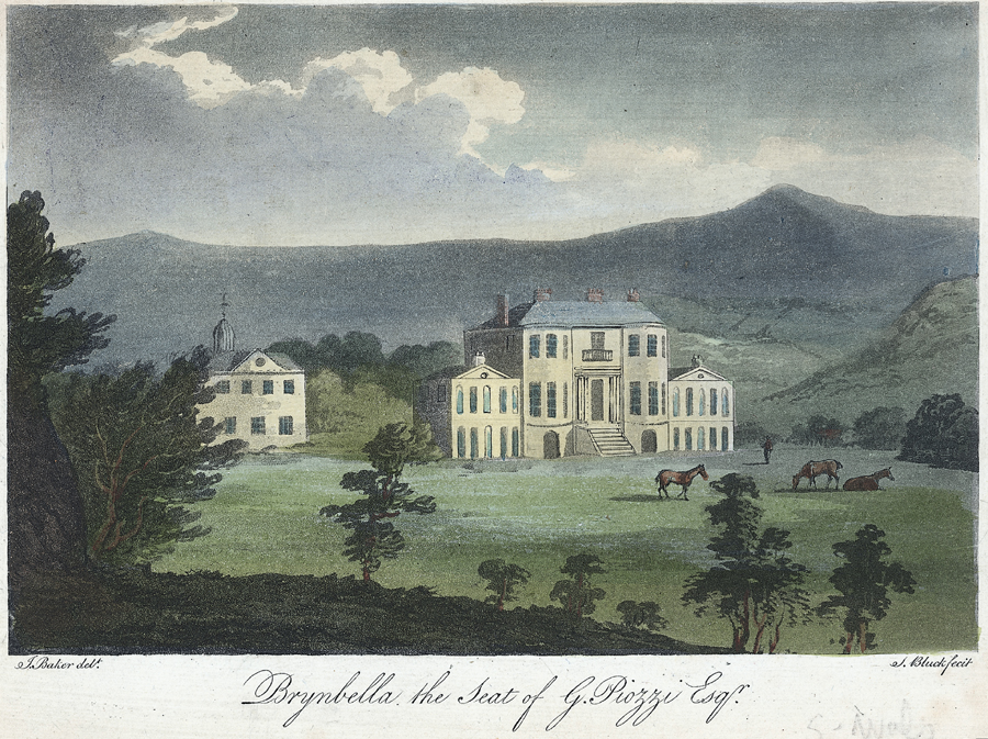
Brynbella
Brynbella is a neoclassical villa built near the village of Tremeirchion in Denbighshire, northeast Wales, by Hester Piozzi and her husband, Gabriel Piozzi...
Nearby Amenities
Located within 500m of 53.22986,-3.3687254Have you been to Coed Talboeth?
Leave your review of Coed Talboeth below (or comments, questions and feedback).