Coed Bron-y-fedw
Wood, Forest in Montgomeryshire
Wales
Coed Bron-y-fedw
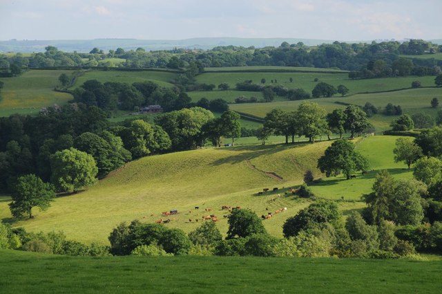
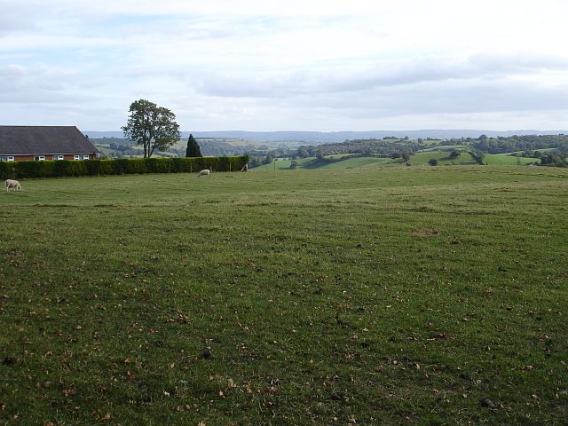
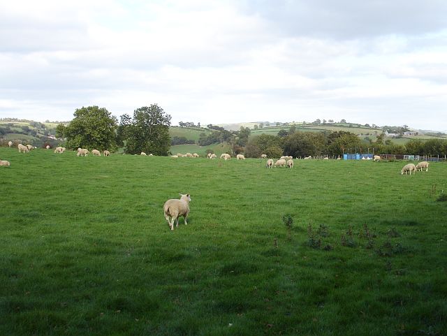
Coed Bron-y-fedw, located in Montgomeryshire, is a beautiful woodland area known for its breathtaking landscapes and diverse flora and fauna. Covering an extensive area, this forest is a haven for nature enthusiasts and outdoor adventurers alike.
The woodland is characterized by its lush greenery, dense trees, and the soothing sound of flowing streams. It offers a wide range of trails, making it a popular destination for hikers, cyclists, and horse riders. The well-maintained footpaths allow visitors to explore the forest and enjoy its serene ambiance.
Coed Bron-y-fedw is home to a rich variety of plant species, including oak, birch, and beech trees. The forest floor is adorned with vibrant wildflowers and ferns, creating a picturesque setting. Wildlife enthusiasts will be delighted by the diverse fauna that inhabits the area. Red squirrels, badgers, foxes, and a variety of birds, such as woodpeckers and owls, can be spotted throughout the forest.
The forest also holds historical significance, with remnants of ancient settlements and archaeological sites scattered within its boundaries. It is a place where visitors can connect with nature while appreciating the rich cultural heritage of the area.
Coed Bron-y-fedw offers a tranquil escape from the hustle and bustle of everyday life, providing a peaceful retreat for those seeking solace in nature. Its natural beauty and diverse ecosystem make it a must-visit destination for anyone looking to immerse themselves in the wonders of the Montgomeryshire countryside.
If you have any feedback on the listing, please let us know in the comments section below.
Coed Bron-y-fedw Images
Images are sourced within 2km of 52.620834/-3.3499248 or Grid Reference SJ0803. Thanks to Geograph Open Source API. All images are credited.

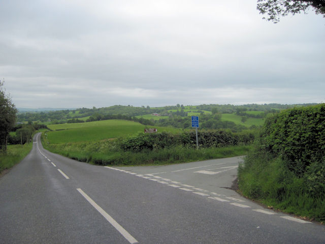


Coed Bron-y-fedw is located at Grid Ref: SJ0803 (Lat: 52.620834, Lng: -3.3499248)
Unitary Authority: Powys
Police Authority: Dyfed Powys
What 3 Words
///harps.engrossed.careful. Near Llanfair Caereinion, Powys
Nearby Locations
Related Wikis

River Rhiw
The River Rhiw (Welsh: Afon Rhiw meaning 'slope river' or 'stream river') is a short river in the north of Powys in Wales. Two headwater tributaries both...
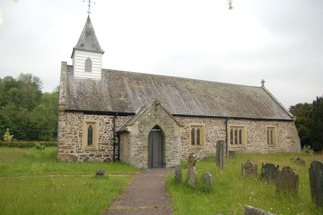
St Michael's Church, Manafon
St Michael's Church is in the small village of Manafon, Powys, Wales. It is an active Anglican church in the parish of Llanfair Caereinion, Llanllugan...
Manafon
Manafon is a small rural community located in the hills of Montgomeryshire, the Northern part of the Welsh county of Powys. The Parish focuses on the valley...

Llanllugan Abbey
Llanllugan Abbey was a monastery of Cistercian nuns located at Llanllugan, Powys, Wales. It was one of only two Cistercian women's monasteries in Wales...

Hen Llys
Hen Llys (or Henllys Hall) is a house in Manafon, Powys, Wales. It is a Grade II listed building. In his biography of John Douglas, Edward Hubbard attributes...
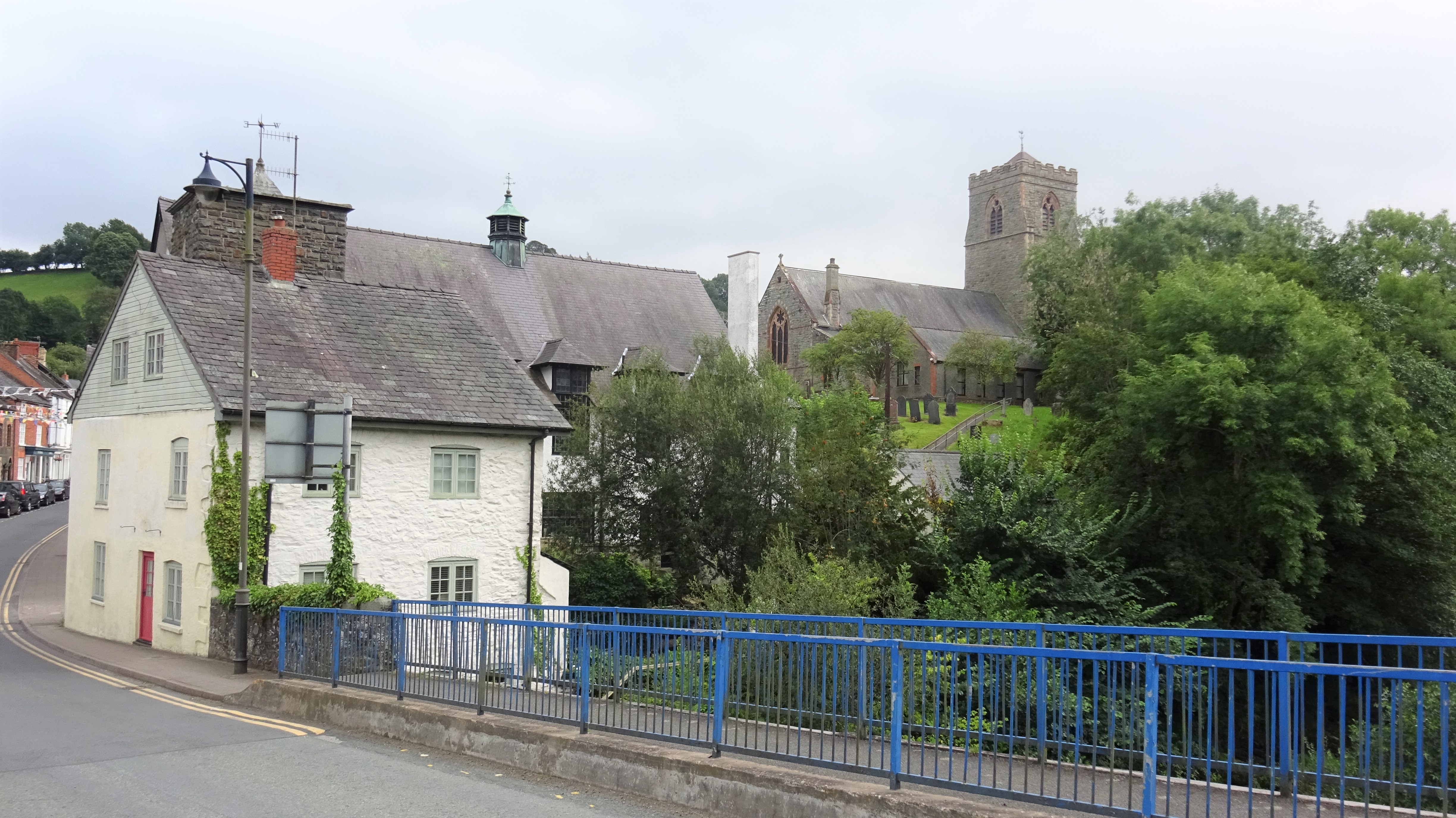
Llanfair Caereinion
Llanfair Caereinion is a market town and community in Montgomeryshire, Powys, Wales upon the River Banwy (also known as the River Einion), around 8 miles...
Caereinion High School
Caereinion High School (Welsh: Ysgol Uwchradd Caereinion) is an 11–18 mixed, bilingual community secondary school and sixth form in Llanfair Caereinion...
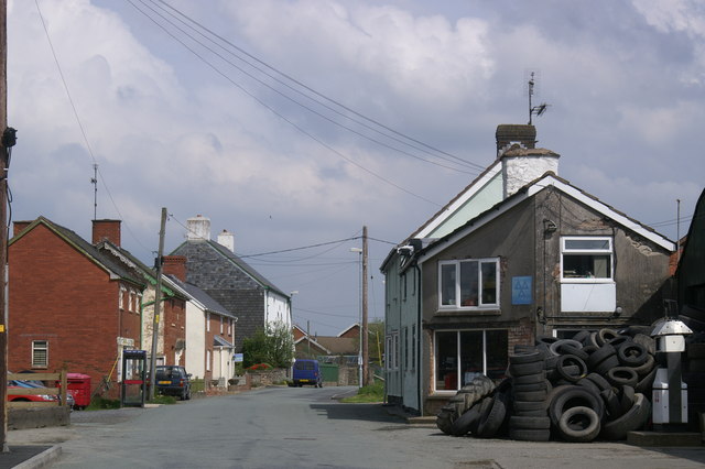
Adfa, Powys
Adfa is a village in the Welsh county of Powys, in mid Wales. It is in the historic county of Montgomeryshire. == External links == Photos of Adfa and...
Nearby Amenities
Located within 500m of 52.620834,-3.3499248Have you been to Coed Bron-y-fedw?
Leave your review of Coed Bron-y-fedw below (or comments, questions and feedback).