Back Wood
Wood, Forest in Radnorshire
Wales
Back Wood

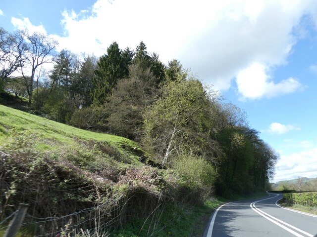
Back Wood, Radnorshire, also known as Wood or Forest, is a picturesque and serene woodland located in the county of Radnorshire, Wales. Spread across an area of approximately 500 acres, it is home to a diverse range of flora and fauna, making it a popular destination for nature lovers and outdoor enthusiasts.
The wood is characterized by its dense canopy of tall, ancient trees, predominantly oak and beech, which provide a sheltered and tranquil environment. The forest floor is covered in a thick carpet of moss, ferns, and wildflowers, creating a vibrant and enchanting atmosphere. Numerous streams and small brooks meander through the wood, adding to the natural beauty of the area.
Back Wood offers a network of well-maintained walking trails, allowing visitors to explore its scenic surroundings. These trails cater to different levels of fitness and are suitable for leisurely strolls as well as more challenging hikes. Along the way, visitors may encounter a variety of wildlife, including deer, foxes, badgers, and a rich diversity of bird species.
The wood is also a haven for nature photographers and artists, offering countless opportunities to capture the beauty of its landscapes. Additionally, it provides a peaceful setting for meditation, yoga, and other mindfulness activities.
Visitors to Back Wood can enjoy a picnic at one of the designated areas or simply sit back and appreciate the serenity of nature. The wood is open to the public throughout the year, and admission is free, making it an accessible and affordable destination for all.
If you have any feedback on the listing, please let us know in the comments section below.
Back Wood Images
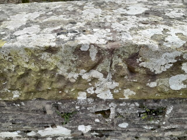
Images are sourced within 2km of 52.12962/-3.3377419 or Grid Reference SO0848. Thanks to Geograph Open Source API. All images are credited.


Back Wood is located at Grid Ref: SO0848 (Lat: 52.12962, Lng: -3.3377419)
Unitary Authority: Powys
Police Authority: Dyfed Powys
What 3 Words
///giraffes.brick.ejects. Near Builth Wells, Powys
Nearby Locations
Related Wikis
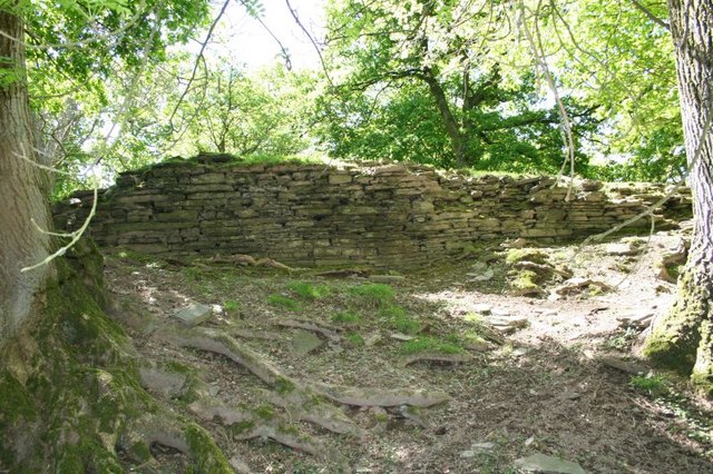
Aberedw Castle
The remains of Aberedw Castle, also known as 'Castle in Elfael Uwch Mynydd', are located at the small village of Aberedw in the county of Powys, Mid-Wales...

Aberedw railway station
Aberedw railway station served the village of Aberedw in Powys, Wales. Aberedw Castle was demolished to build the station and some of the stone from the...

Aberedw
Aberedw is a village and community in Radnorshire, Powys, Wales. The community covers an area of 3,055 hectares (11.80 sq mi). Its population was 229,...

Alltmawr
Alltmawr is a village in the community of Erwood, Powys, Wales, which is 44 miles (71 km) from Cardiff and 144 miles (232 km) from London. St Mauritius...
Nearby Amenities
Located within 500m of 52.12962,-3.3377419Have you been to Back Wood?
Leave your review of Back Wood below (or comments, questions and feedback).