Coed Colomendy
Wood, Forest in Merionethshire
Wales
Coed Colomendy

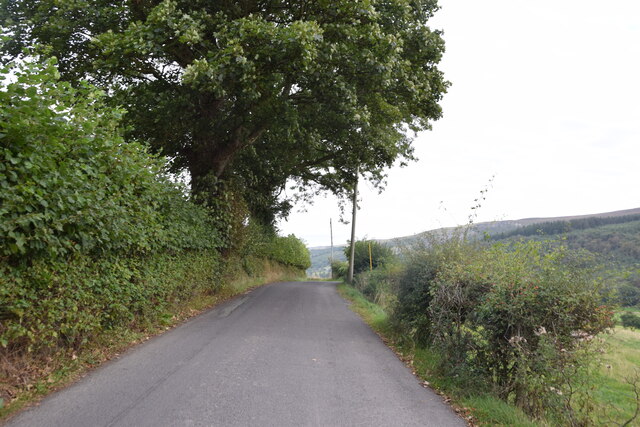
Coed Colomendy, located in Merionethshire, is a picturesque woodland area known for its natural beauty and abundant wildlife. Spanning over a vast area, this forest offers a haven for nature enthusiasts and outdoor adventurers alike.
The woodland of Coed Colomendy is characterized by a diverse range of tree species, including oak, beech, and pine, creating a rich and varied ecosystem. The forest floor is blanketed with lush vegetation, making it an ideal habitat for a plethora of flora and fauna. Visitors may encounter a wide array of woodland creatures, such as deer, badgers, foxes, and numerous bird species, adding to the enchantment of the area.
The forest boasts several well-maintained trails, providing opportunities for hikers, walkers, and cyclists to explore its scenic beauty. These trails wind through the woodland, offering glimpses of stunning vistas, trickling streams, and hidden glens. Along the way, visitors can discover various points of interest, including ancient ruins, historical landmarks, and natural formations.
Coed Colomendy also offers a range of activities for visitors of all ages. Adventure seekers may engage in activities such as zip-lining, tree climbing, and archery, while those seeking a more leisurely experience can enjoy picnicking, wildlife spotting, or simply immersing themselves in the tranquility of the surroundings.
In summary, Coed Colomendy in Merionethshire is a captivating forest that showcases the beauty of nature. With its diverse flora and fauna, well-maintained trails, and range of activities, it is a destination that appeals to both nature enthusiasts and those seeking outdoor adventures.
If you have any feedback on the listing, please let us know in the comments section below.
Coed Colomendy Images
Images are sourced within 2km of 52.97814/-3.365521 or Grid Reference SJ0843. Thanks to Geograph Open Source API. All images are credited.


Coed Colomendy is located at Grid Ref: SJ0843 (Lat: 52.97814, Lng: -3.365521)
Unitary Authority: Denbighshire
Police Authority: North Wales
What 3 Words
///project.star.bathtubs. Near Derwen, Denbighshire
Nearby Locations
Related Wikis
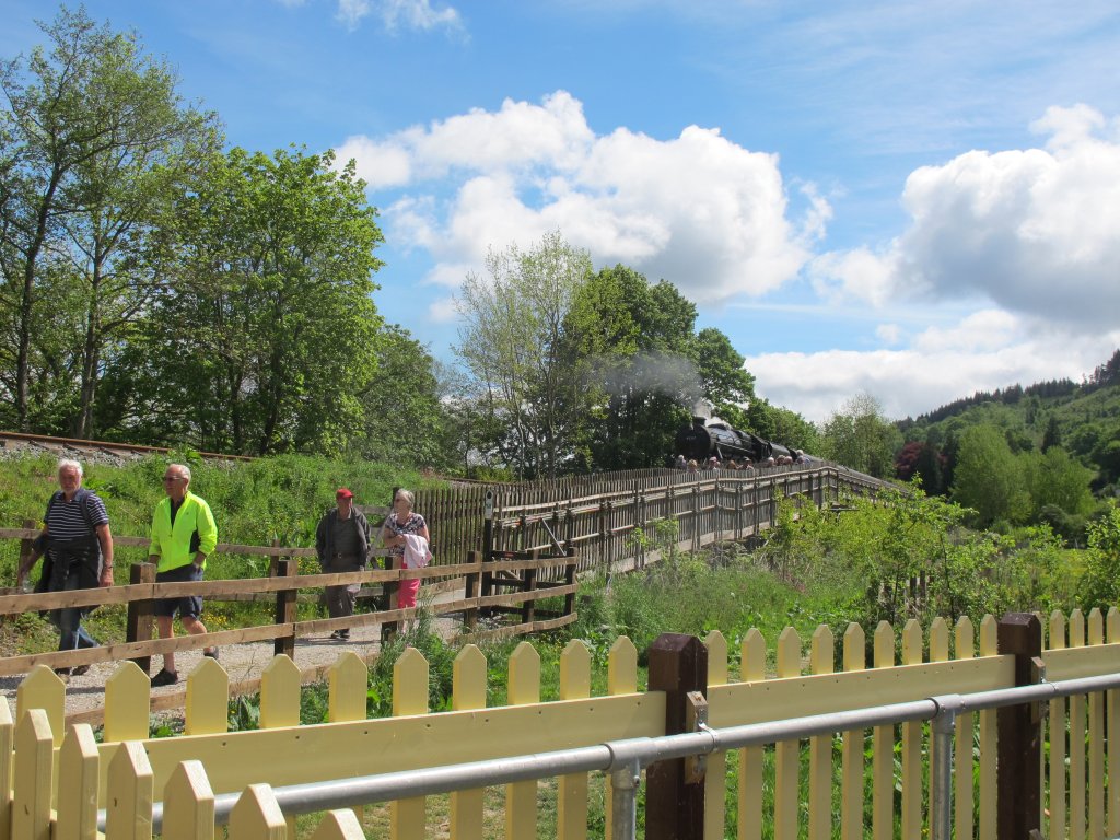
Corwen East railway station
Corwen East railway station in the town of Corwen, Denbighshire, Wales, was a temporary station on the former Ruabon to Barmouth Line. It was the western...

SS Mael and Sulien's Church, Corwen
Saint Mael and Saint Sulien's Church is a church located in the town of Corwen in Denbighshire in Wales. It was formerly located in the ancient county...

Corwen F.C.
Corwen F.C. is a Welsh football club based in Corwen, Denbighshire. They currently play in the North East Wales Football League Premier Division, which...

Corwen
Corwen is a town and community in the county of Denbighshire in Wales. Historically, Corwen was part of the county of Merionethshire. Corwen stands on...
Nearby Amenities
Located within 500m of 52.97814,-3.365521Have you been to Coed Colomendy?
Leave your review of Coed Colomendy below (or comments, questions and feedback).