Gloddiau Wood
Wood, Forest in Flintshire
Wales
Gloddiau Wood
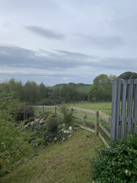
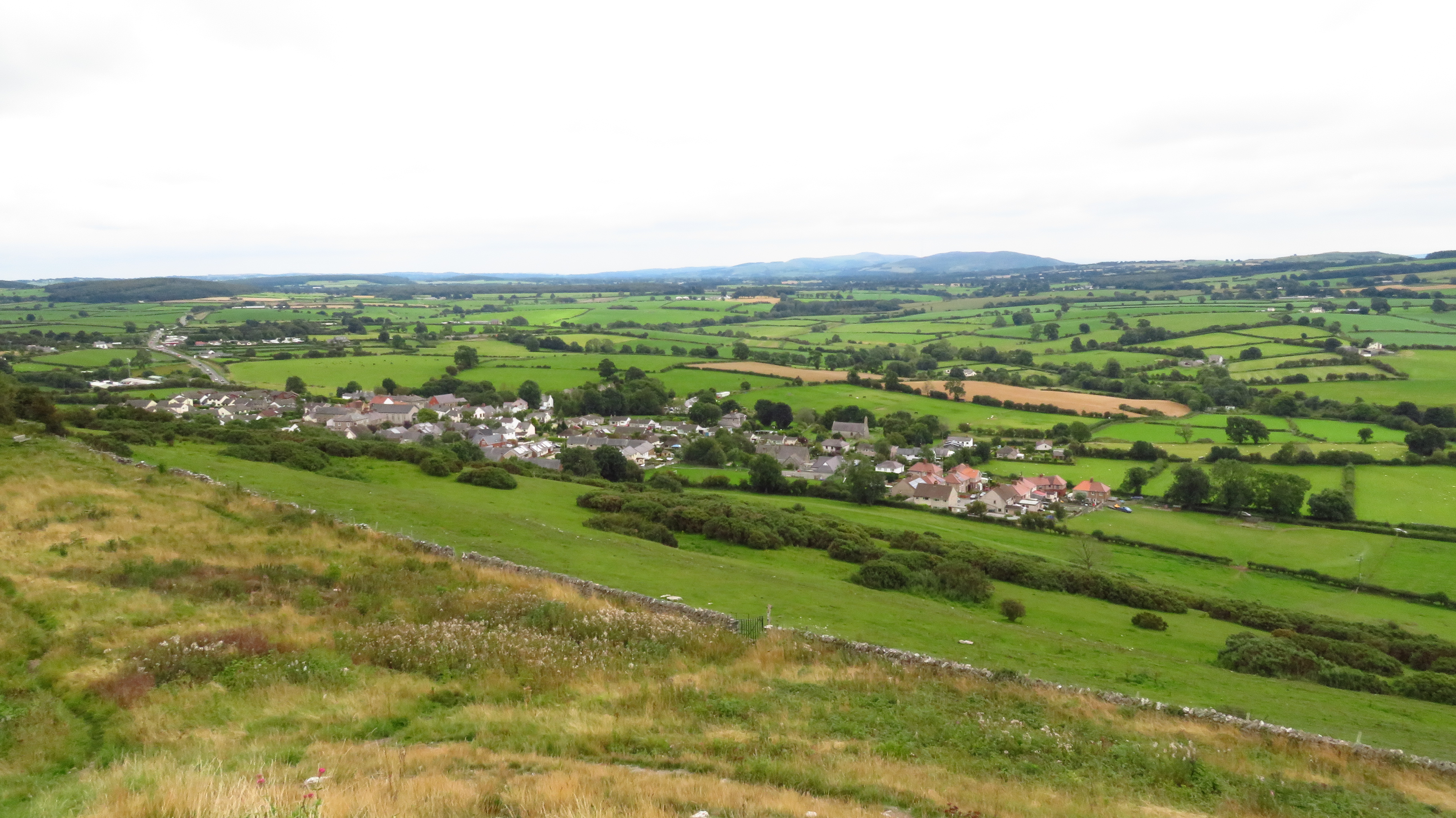
Gloddiau Wood is a picturesque forest located in Flintshire, Wales. Covering an area of approximately 50 acres, the wood is known for its diverse range of flora and fauna, making it a popular destination for nature lovers and outdoor enthusiasts.
The wood is predominantly composed of native tree species such as oak, beech, and birch, creating a lush canopy that provides habitat for a variety of wildlife including birds, small mammals, and insects. Visitors to Gloddiau Wood can enjoy peaceful walks along the well-maintained trails that wind through the forest, offering opportunities to observe the natural beauty of the surroundings.
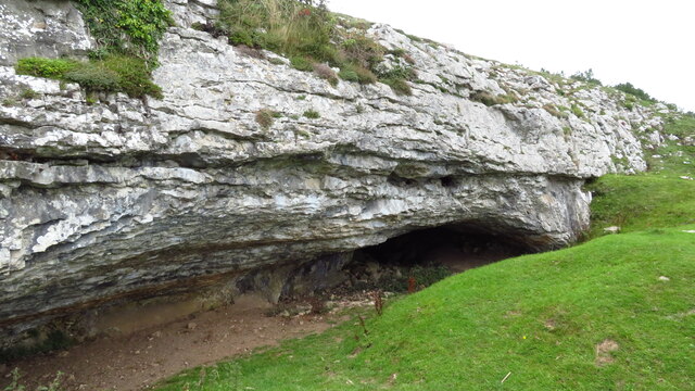
In addition to its natural beauty, Gloddiau Wood also has historical significance, with evidence of ancient settlements and archaeological remains scattered throughout the area. The wood is managed by local authorities to ensure the preservation of its natural and cultural heritage for future generations to enjoy.
Overall, Gloddiau Wood offers a tranquil escape from the hustle and bustle of everyday life, allowing visitors to connect with nature and appreciate the beauty of the Welsh countryside.
If you have any feedback on the listing, please let us know in the comments section below.
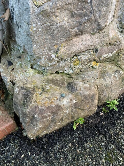
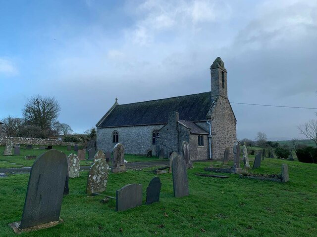
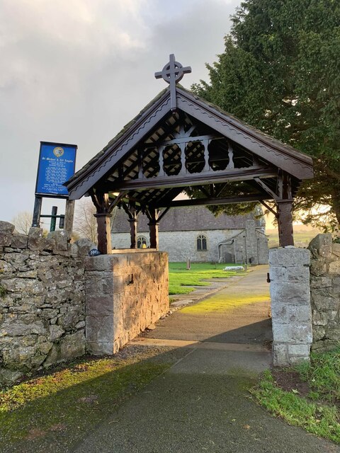
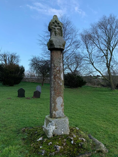
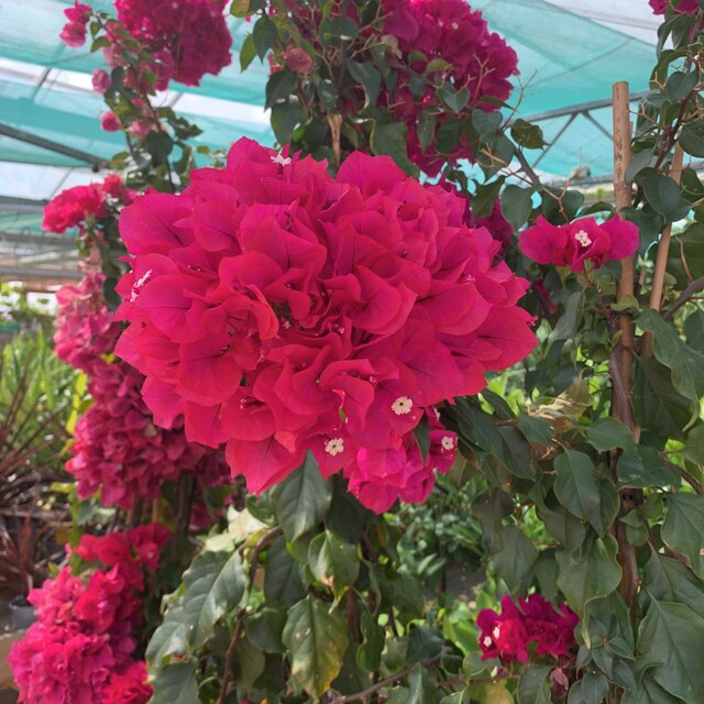
Gloddiau Wood Images
Images are sourced within 2km of 53.301677/-3.3789448 or Grid Reference SJ0879. Thanks to Geograph Open Source API. All images are credited.


Gloddiau Wood is located at Grid Ref: SJ0879 (Lat: 53.301677, Lng: -3.3789448)
Unitary Authority: Flintshire
Police Authority: North Wales
What 3 Words
///scribbled.catchers.uproot. Near Dyserth, Denbighshire
Nearby Locations
Related Wikis

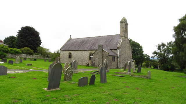
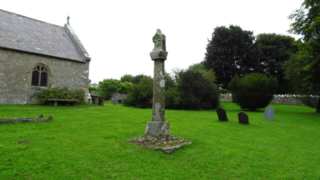
St Michael's Church, Trelawnyd
St Michael's Church, Trelawnyd, is in the village of Trelawnyd, Flintshire, Wales. It is an active Anglican parish church in the benefice of Dyserth and...
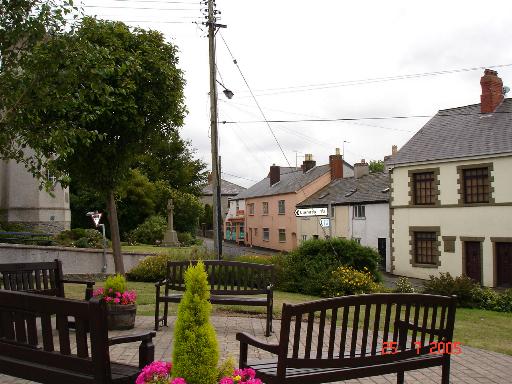
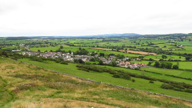
Trelawnyd
Trelawnyd (formerly Newmarket from 1710 to 1954) is a village in Flintshire, Wales. The village had a population taken at the 2011 census of 584. It is...

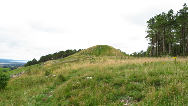
The Gop
The Gop (Welsh: Coparleni, also known as Gop Cairn or Gop-y-Goleuni) is a neolithic monument lying within the Clwydian Range, northwest of Trelawnyd...
Trelawnyd and Gwaenysgor
Trelawnyd and Gwaenysgor is a community in Flintshire, Wales. The community includes the villages of Trelawnyd and Gwaenysgor. The community council is...
Nearby Amenities
Located within 500m of 53.301677,-3.3789448Have you been to Gloddiau Wood?
Leave your review of Gloddiau Wood below (or comments, questions and feedback).