Birchybank Coppice

Wood, Forest in Montgomeryshire

Wales

Birchybank Coppice

Mochdre Brook
Mochdre Brook Credit: Penny Mayes

The requested URL returned error: 429 Too Many Requests

If you have any feedback on the listing, please let us know in the comments section below.

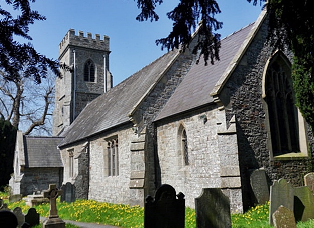
Birchybank Coppice Images

Images are sourced within 2km of 52.51499/-3.3569935 or Grid Reference SO0891. Thanks to Geograph Open Source API. All images are credited.

Mochdre Brook
Mochdre Brook
Brook Terrace, Mochdre Presumably built to house mill workers.
See also <a title="https://www.geograph.org.uk/photo/5988403" href="https://www.geograph.org.uk/photo/5988403">Link</a>
Brook Terrace, Mochdre
Presumably built to house mill workers. See also Link
Brook Terrace, Mochdre Presumably built to house mill workers.
See also <a title="https://www.geograph.org.uk/photo/5988401" href="https://www.geograph.org.uk/photo/5988401">Link</a>
Mochdre Brook <a title="https://www.geograph.org.uk/photo/5988397" href="https://www.geograph.org.uk/photo/5988397">Link</a> flows behind the bushes on the right.
Brook Terrace, Mochdre
Presumably built to house mill workers. See also Link Mochdre Brook Link flows behind the bushes on the right.
Cylchfan David Davies, Ffordd Osgoi'r Drenewydd The south-westernnmost roundabout on the Newtown bypass, named after the 19th century industrialist and benefactor, not the 21st century politician.
Cylchfan David Davies, Ffordd Osgoi'r Drenewydd
The south-westernnmost roundabout on the Newtown bypass, named after the 19th century industrialist and benefactor, not the 21st century politician.
Approaching west end of Newtown By-pass
A489 nearing Penstrowed
A489 near Penstrowed Hall
A489 crossing railway bridge near Penstrowed
St Gwrhai church in Penstrowed
Ffridd Wood
Ffridd Wood
Bus shelter, A489 west of centre of Newtown In an area of industrial units
Bus shelter, A489 west of centre of Newtown
In an area of industrial units
Turning point on the Newtown parkrun On a riverside path to the west of the town.
Turning point on the Newtown parkrun
On a riverside path to the west of the town.
Ystad Ddiwydianol Mochdre, Y Drenewydd / Mochdre Industrial Estate, Newtown Dyma ffordd fynediad i Ystad Ddiwydiannol Mochdre, Y Drenewydd sy'n rhan o lwybr  beicio Sustrans 81 / This is the access road to Mochdre Industrial Estate, Newtown which is part of Sustrans Cycle route 81
Ystad Ddiwydianol Mochdre, Y Drenewydd / Mochdre Industrial Estate, Newtown
Dyma ffordd fynediad i Ystad Ddiwydiannol Mochdre, Y Drenewydd sy'n rhan o lwybr beicio Sustrans 81 / This is the access road to Mochdre Industrial Estate, Newtown which is part of Sustrans Cycle route 81
Aberhafesp Church St Gwynog's Parish Church, Aberhafesp.
Aberhafesp Church
St Gwynog's Parish Church, Aberhafesp.
Bridleway to Aberhafesp The bridleway to Aberhafesp follows a track through this straw field.
Bridleway to Aberhafesp
The bridleway to Aberhafesp follows a track through this straw field.
Fachwen Pool Pool Cottage mirrored in Fachwen Pool.
Fachwen Pool
Pool Cottage mirrored in Fachwen Pool.
Fishermen reflected in Fachwen Pool Fisherman fishing on an idyllic pool in the midst of tranquil mid-Wales.
Fishermen reflected in Fachwen Pool
Fisherman fishing on an idyllic pool in the midst of tranquil mid-Wales.
Fishing on Fachwen Pool Three fishermen and trees reflected in the still waters of Fachwen Pool.
Fishing on Fachwen Pool
Three fishermen and trees reflected in the still waters of Fachwen Pool.
Show me another place!

Birchybank Coppice is located at Grid Ref: SO0891 (Lat: 52.51499, Lng: -3.3569935)

Unitary Authority: Powys

Police Authority: Dyfed Powys

What 3 Words

///strikers.unscrew.expressed. Near Mochdre, Powys

Nearby Locations

Birchybank Coppice

Related Wikis

Scafell Halt railway station

Scafell Halt was a railway station on the Cambrian Line, located to the west of Newtown, Powys, Wales; it was adjacent to Scafell Bridge on the River Severn...

Penstrowed

Penstrowed is a historic Montgomeryshire parish to the west of Newtown, now in the community of Mochdre with Penstrowed, Powys, Wales . == Description... ==

Aberhafesp

Aberhafesp is a small village and community in Montgomeryshire, Powys, Wales. The hamlet of Bwlch-y-Ffridd is within the community. It is situated about...

Newtown Central

Newtown Central was the name of a county electoral ward in the town of Newtown, Powys, Wales. It remains as a community ward to Newtown and Llanllwchaiarn...

Nearby Amenities

Located within 500m of 52.51499,-3.3569935
Power: pole
Lat/Long: 52.5116059/-3.3615649
Power: pole
Lat/Long: 52.5120728/-3.3622193
Power: pole
Lat/Long: 52.512791/-3.3631635
Power: pole
Lat/Long: 52.5137117/-3.3637053
Power: pole
Lat/Long: 52.5146094/-3.3643114
Communication Mobile Phone: yes
Man Made: mast
Tower Type: communication
Lat/Long: 52.5131659/-3.350274
Direction: 255
Generator Method: photovoltaic
Generator Output Electricity: yes
Generator Solar Modules: 16
Generator Source: solar
Generator Type: solar_photovoltaic_panel
Location: roof
Power: generator
Lat/Long: 52.5126331/-3.3597592
Man Made: utility_pole
Lat/Long: 52.5112303/-3.3598411
Man Made: utility_pole
Lat/Long: 52.5118571/-3.3601631
Man Made: utility_pole
Lat/Long: 52.5170813/-3.3611792
Man Made: utility_pole
Lat/Long: 52.5180474/-3.3612917
Man Made: utility_pole
Lat/Long: 52.5159422/-3.3587621
Man Made: utility_pole
Lat/Long: 52.5138883/-3.3607918
Man Made: utility_pole
Lat/Long: 52.5149846/-3.3609051
The data included in this document is from www.openstreetmap.org. The data is made available under ODbL.

Have you been to Birchybank Coppice?

Leave your review of Birchybank Coppice below (or comments, questions and feedback).