Cae-daisy Coppice
Wood, Forest in Montgomeryshire
Wales
Cae-daisy Coppice

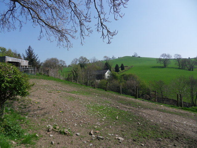
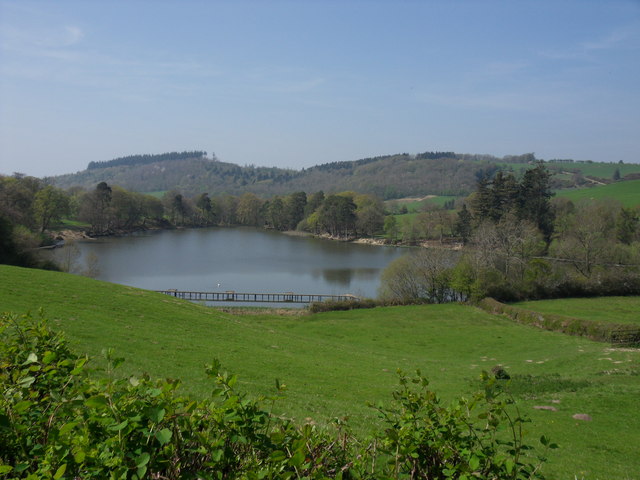
Cae-daisy Coppice is a picturesque wood located in Montgomeryshire, Wales. Spanning an area of approximately 50 acres, this forested area is known for its natural beauty and diverse wildlife. The coppice is situated in a rural setting, surrounded by rolling hills and open meadows.
The wood is primarily composed of dense oak and beech trees, creating a dense canopy that provides shelter and a habitat for a wide range of species. The forest floor is covered in a thick carpet of moss, ferns, and wildflowers, adding to the enchanting atmosphere of the area. The sound of birdsong fills the air, with species such as woodpeckers, owls, and thrushes making this forest their home.
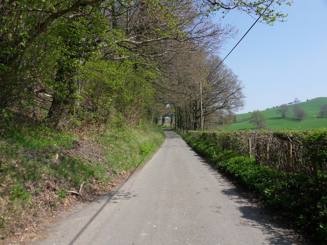
Cae-daisy Coppice is a popular destination for nature enthusiasts and hikers. There are several well-marked trails that wind through the forest, allowing visitors to explore its beauty at their own pace. The paths offer scenic views of the surrounding countryside, making it a great spot for photography and relaxation.
The wood is also home to a variety of wildlife, including deer, badgers, and foxes. Birdwatchers can spot a plethora of species, including rare ones like the pied flycatcher and redstart. The forest is also known for its diverse insect population, attracting butterfly and dragonfly enthusiasts.
Overall, Cae-daisy Coppice offers a tranquil and picturesque escape into nature, with its lush trees, diverse wildlife, and scenic trails making it a must-visit destination for anyone seeking a peaceful retreat in Montgomeryshire.
If you have any feedback on the listing, please let us know in the comments section below.
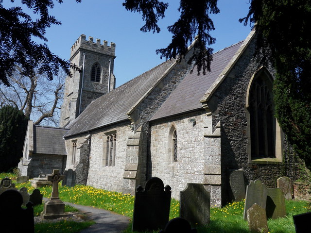
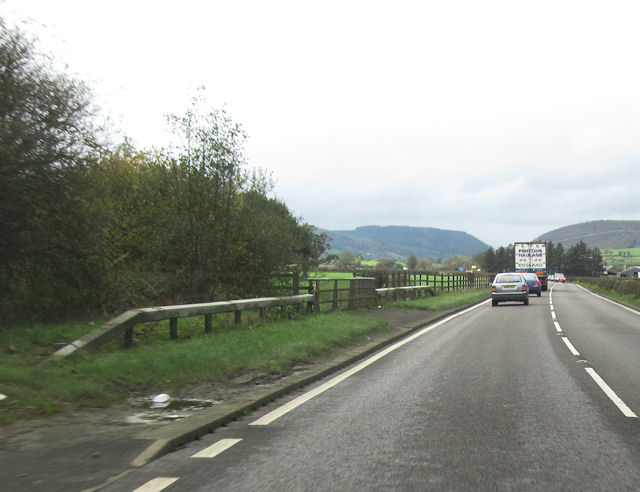
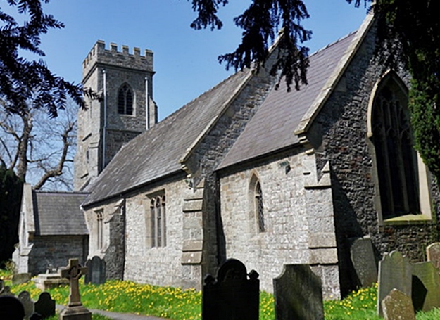
Cae-daisy Coppice Images
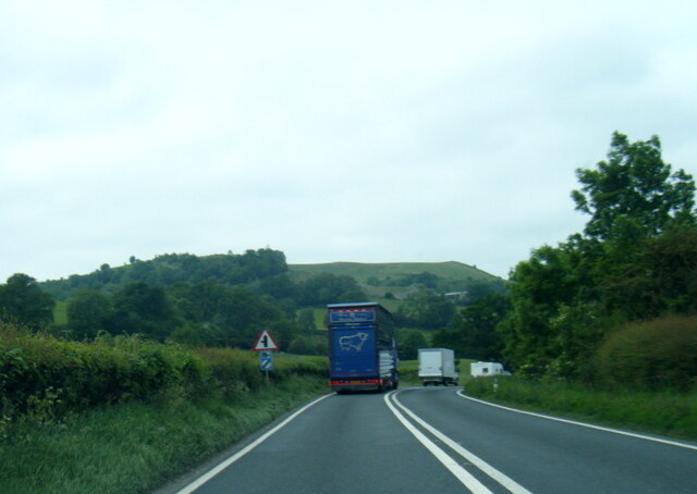
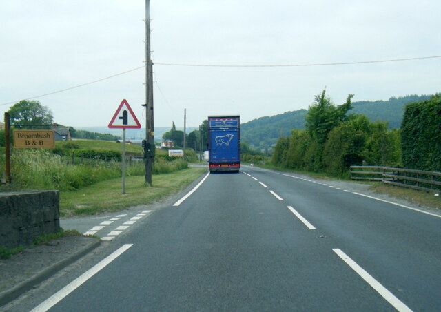
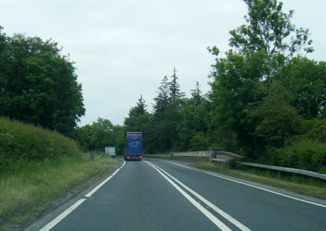
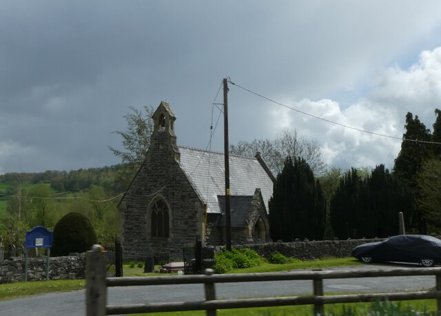
Images are sourced within 2km of 52.520042/-3.3578272 or Grid Reference SO0792. Thanks to Geograph Open Source API. All images are credited.


Cae-daisy Coppice is located at Grid Ref: SO0792 (Lat: 52.520042, Lng: -3.3578272)
Unitary Authority: Powys
Police Authority: Dyfed Powys
What 3 Words
///stopwatch.having.proceeds. Near Newtown, Powys
Nearby Locations
Related Wikis
Aberhafesp
Aberhafesp is a small village and community in Montgomeryshire, Powys, Wales. The hamlet of Bwlch-y-Ffridd is within the community. It is situated about...

Scafell Halt railway station
Scafell Halt was a railway station on the Cambrian Line, located to the west of Newtown, Powys, Wales; it was adjacent to Scafell Bridge on the River Severn...

Penstrowed
Penstrowed is a historic Montgomeryshire parish to the west of Newtown, now in the community of Mochdre with Penstrowed, Powys, Wales . == Description... ==
Newtown West (Powys electoral ward)
Newtown West (formerly Newtown Llanllwchaiarn West or Llanllwchaiarn West) is the name of an electoral ward in the community of Newtown and Llanllwchaiarn...
Nearby Amenities
Located within 500m of 52.520042,-3.3578272Have you been to Cae-daisy Coppice?
Leave your review of Cae-daisy Coppice below (or comments, questions and feedback).