Coed y Bryn
Wood, Forest in Flintshire
Wales
Coed y Bryn
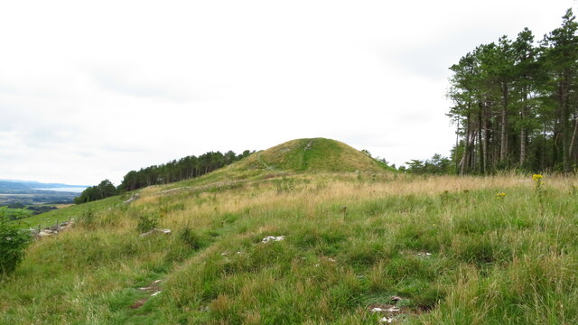
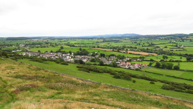
Coed y Bryn is a stunning woodland area located in Flintshire, Wales. Spanning over several acres, this enchanting forest is renowned for its natural beauty and diverse wildlife. The name "Coed y Bryn" translates to "Wood of the Hill," which aptly describes its location on the outskirts of the picturesque village of Llanasa.
The woodland is predominantly composed of native broadleaf trees, including oak, beech, and birch, creating a rich and vibrant ecosystem. Walking through the forest, visitors are greeted by a lush carpet of wildflowers and ferns, adding a touch of color and elegance to the surroundings.
Coed y Bryn is a nature lover's paradise, providing a haven for a wide range of plant and animal species. Birdwatchers can spot a variety of feathered friends, such as woodpeckers, buzzards, and owls, while mammals like foxes, badgers, and deer roam freely amidst the trees. The forest also boasts a diverse insect population, making it a fascinating destination for entomologists and nature enthusiasts.
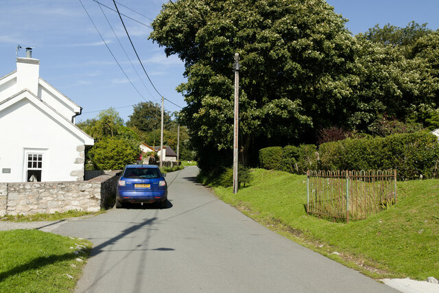
The woodland is open to the public, offering a network of well-maintained walking trails that wind through its enchanting landscape. These paths provide an opportunity for visitors to immerse themselves in the tranquility of nature, allowing for peaceful walks and contemplation. In addition, there are picnic areas and benches scattered throughout the forest, inviting visitors to relax and enjoy the peaceful ambiance.
Overall, Coed y Bryn's natural beauty, abundant wildlife, and tranquil atmosphere make it a popular destination for locals and tourists alike, providing a serene escape from the hustle and bustle of daily life.
If you have any feedback on the listing, please let us know in the comments section below.
Coed y Bryn Images
Images are sourced within 2km of 53.303419/-3.3860843 or Grid Reference SJ0779. Thanks to Geograph Open Source API. All images are credited.


Coed y Bryn is located at Grid Ref: SJ0779 (Lat: 53.303419, Lng: -3.3860843)
Unitary Authority: Flintshire
Police Authority: North Wales
What 3 Words
///liquid.extensive.triangle. Near Dyserth, Denbighshire
Nearby Locations
Related Wikis

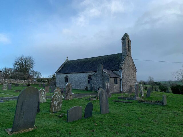
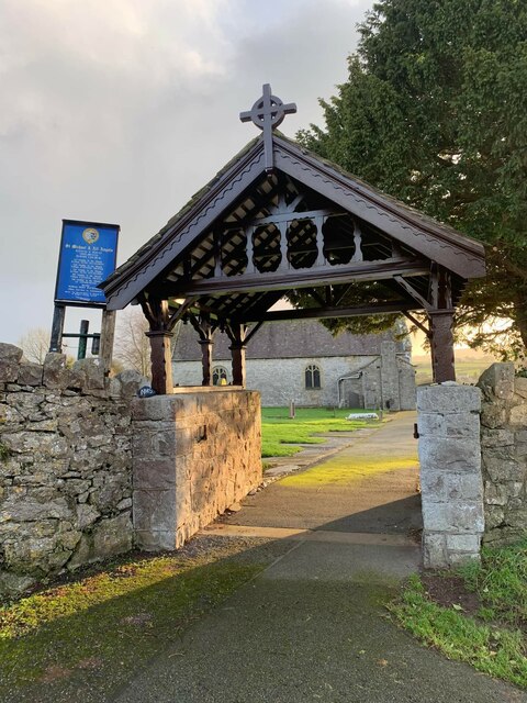
St Michael's Church, Trelawnyd
St Michael's Church, Trelawnyd, is in the village of Trelawnyd, Flintshire, Wales. It is an active Anglican parish church in the benefice of Dyserth and...

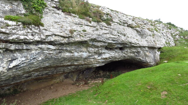
The Gop
The Gop (Welsh: Coparleni, also known as Gop Cairn or Gop-y-Goleuni) is a neolithic monument lying within the Clwydian Range, northwest of Trelawnyd...
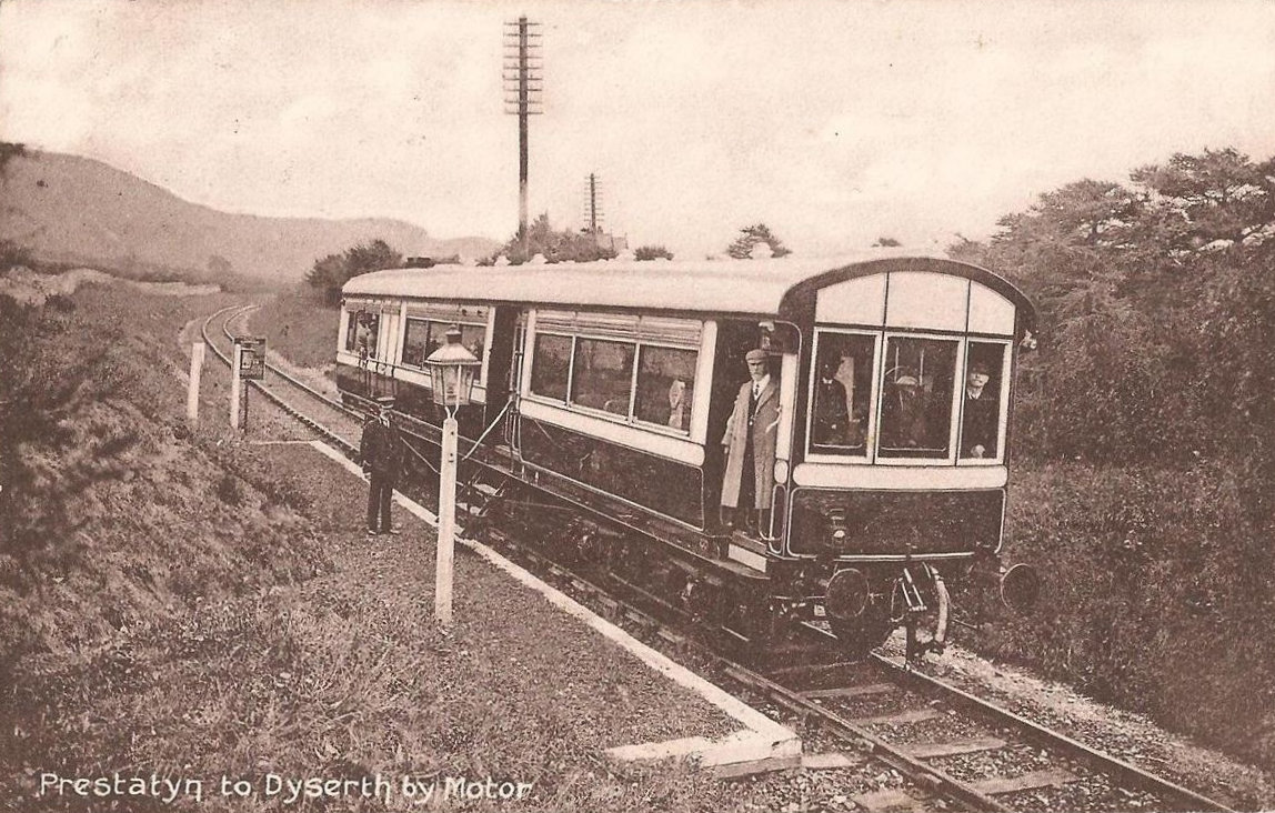
Dyserth railway station
Dyserth railway station served the village of Dyserth, Flintshire (now Denbighshire), Wales. It was the southern terminus of the 2 miles 70 chains (4.6...
Maes Hiraddug
Maes Hiraddug is a Site of Special Scientific Interest in the preserved county of Clwyd, north Wales. It is species-rich neutral grassland which includes...
Nearby Amenities
Located within 500m of 53.303419,-3.3860843Have you been to Coed y Bryn?
Leave your review of Coed y Bryn below (or comments, questions and feedback).