Coed Cefn-y-berth
Wood, Forest in Montgomeryshire
Wales
Coed Cefn-y-berth

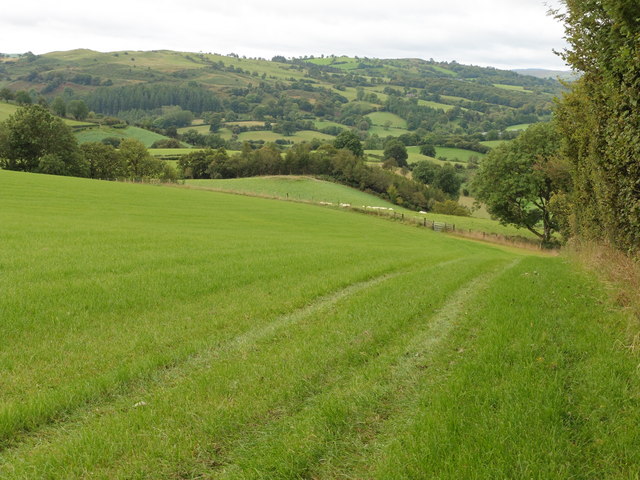
Coed Cefn-y-berth, located in Montgomeryshire, is a picturesque woodland area known for its natural beauty and diverse flora and fauna. Covering an area of approximately XX square kilometers, this enchanting forest is a popular destination for nature lovers and outdoor enthusiasts.
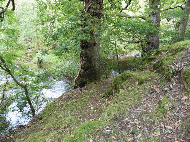
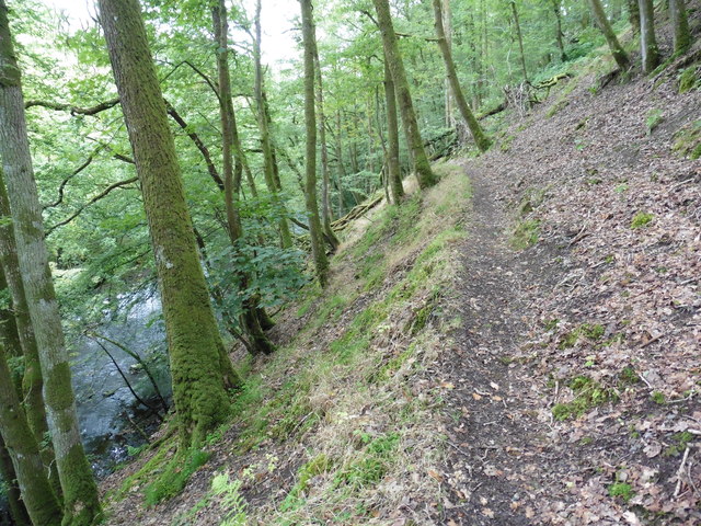
The woodland is characterized by its dense canopy of mature trees, including oak, beech, and ash, which provide a habitat for various bird species such as the great spotted woodpecker, tawny owl, and buzzard. Additionally, the forest floor is adorned with a rich carpet of wildflowers, including bluebells, primroses, and wood anemones, creating a vibrant and colorful display during the springtime.
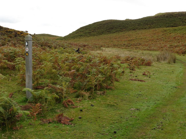
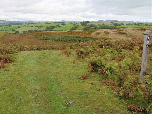
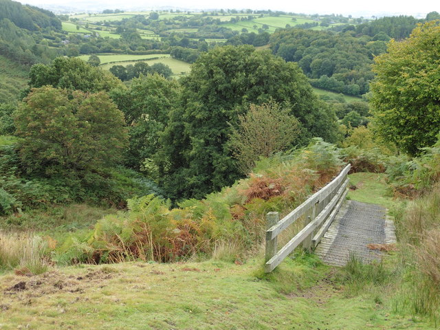
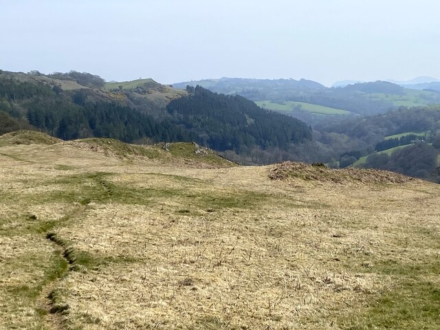
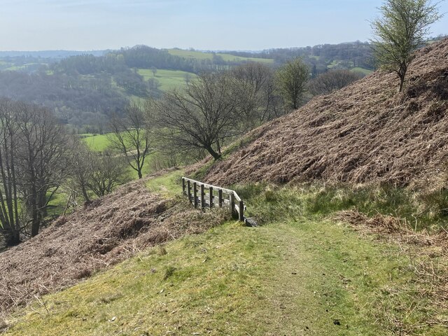
Traversing through Coed Cefn-y-berth, visitors can explore a network of well-maintained walking trails, offering breathtaking views of the surrounding countryside. These trails cater to varying levels of difficulty, ensuring that both casual strollers and experienced hikers can enjoy the woodland at their own pace.
Aside from its natural beauty, Coed Cefn-y-berth also holds historical significance. Remnants of ancient earthworks and burial mounds can be found within the forest, providing evidence of human occupation dating back thousands of years. This adds an extra layer of intrigue and fascination to the area, attracting history enthusiasts and archaeology aficionados.
Overall, Coed Cefn-y-berth is an idyllic woodland retreat that showcases the beauty of Montgomeryshire's natural landscape. Its combination of stunning scenery, diverse wildlife, and historical significance make it a must-visit destination for anyone seeking a peaceful and enriching outdoor experience.
If you have any feedback on the listing, please let us know in the comments section below.
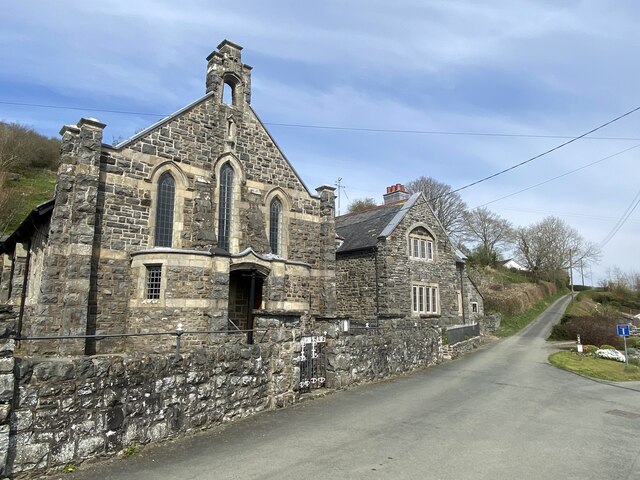
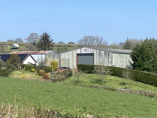
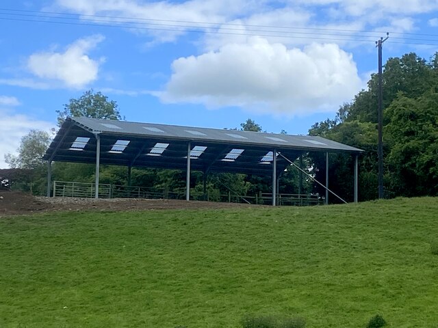
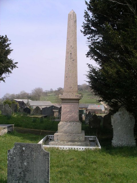
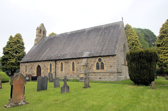
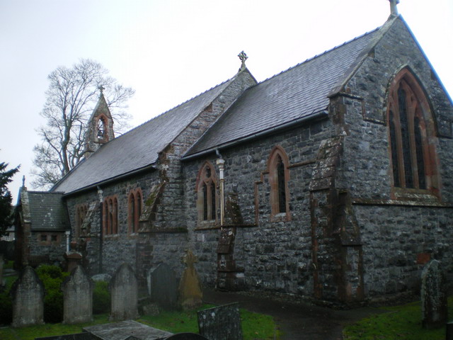
Coed Cefn-y-berth Images
Images are sourced within 2km of 52.712584/-3.3684328 or Grid Reference SJ0713. Thanks to Geograph Open Source API. All images are credited.


Coed Cefn-y-berth is located at Grid Ref: SJ0713 (Lat: 52.712584, Lng: -3.3684328)
Unitary Authority: Powys
Police Authority: Dyfed Powys
What 3 Words
///utensil.logs.sounding. Near Llangadfan, Powys
Nearby Locations
Related Wikis

Dolanog
Dolanog () or Pont Dolanog is an ecclesiastical parish or chapelry that was formed in October 1856. It comprises the townships of Dolwar in Llanfihangel...
Llanfihangel-yng-Ngwynfa
Llanfihangel-yng-Ngwynfa () was a parish within the former historic county of Montgomeryshire. It now forms a major part of the community of Llanfihangel...
Pontrobert
Pontrobert is an ecclesiastical parish that was formed in September 1854. It comprises the townships of Teirtref and part of Nantymeichiaid in the parish...

Plynlimon and Hafan Tramway
The Plynlimon and Hafan Tramway was a 2 ft 3 in (686 mm) gauge narrow gauge railway in Cardiganshire (now Ceredigion) in Mid Wales. It ran from Llanfihangel...

Dolobran, Montgomeryshire
Dolobran, in the county of Montgomeryshire (now Powys) in Wales, is a historic estate which was the earliest known seat of the expansive Lloyd family,...
Llwydiarth
Llwydiarth is a small village in Powys, Wales. It is located near Lake Vyrnwy. The village is mostly made up of a caravan park and holiday centre. It does...

Four Crosses, Llanfair Caereinion
Four Crosses is a hamlet located west of Llanfair Caereinion in Powys, Wales. It is situated off the A458 between Llanfair Caereinion and Mallwyd. The...
Llanerfyl
Llanerfyl is a village and community in Montgomeryshire, Powys, Wales. Located near the River Banwy, the community includes the village of Llanerfyl, several...
Nearby Amenities
Located within 500m of 52.712584,-3.3684328Have you been to Coed Cefn-y-berth?
Leave your review of Coed Cefn-y-berth below (or comments, questions and feedback).