Coed Cyll
Wood, Forest in Flintshire
Wales
Coed Cyll
Coed Cyll is a picturesque woodland area located in Flintshire, Wales. Spanning across a vast expanse of approximately 300 acres, this enchanting forest is known for its natural beauty and diverse range of flora and fauna. Situated near the village of Lixwm, Coed Cyll is a haven for nature enthusiasts and those seeking tranquility away from the hustle and bustle of urban life.
The forest is predominantly made up of oak and beech trees, interspersed with patches of holly, hazel, and birch. The dense canopy provides a sheltered habitat for various woodland creatures, including deer, badgers, and foxes. Birdwatchers will also appreciate the presence of numerous species, such as tawny owls, woodpeckers, and song thrushes.
Coed Cyll offers a variety of walking trails, allowing visitors to explore its enchanting landscape at their own pace. The paths wind through ancient woodlands, meandering alongside babbling streams and tranquil ponds. Along the way, visitors can discover hidden treasures, such as a secluded waterfall or a carpet of bluebells during the springtime.
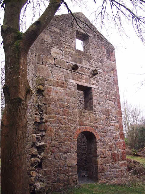
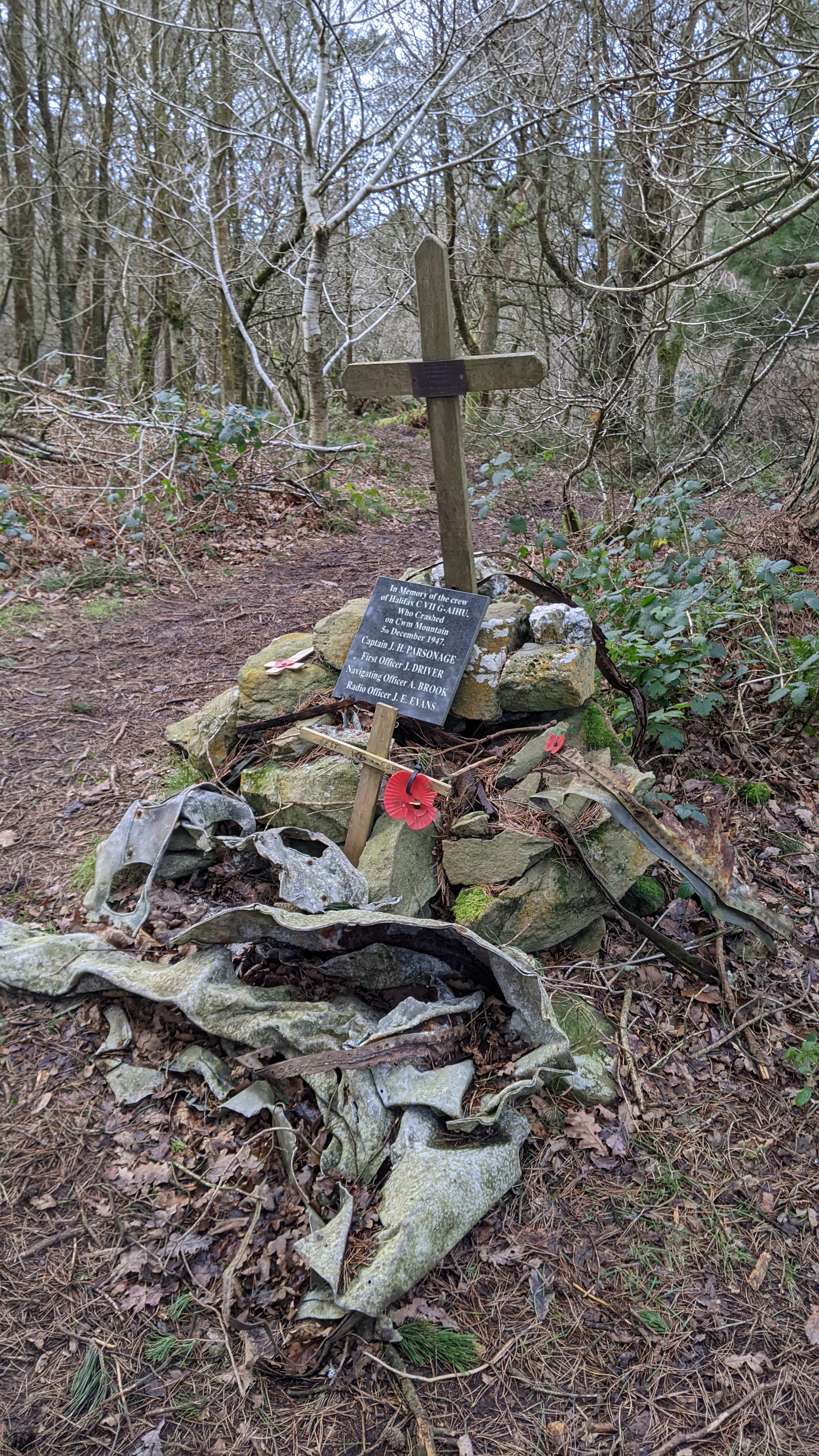
The forest is also home to a rich cultural history. Ruins of old mills and quarry workings can be found within its boundaries, serving as a reminder of the area's industrial past. Additionally, Coed Cyll is believed to have been an important site during the Roman era, as evidenced by the presence of ancient earthworks and burial mounds.
Overall, Coed Cyll in Flintshire is a captivating woodland retreat, offering a delightful escape into nature's embrace. Whether one seeks a peaceful stroll, a birdwatching expedition, or a glimpse into the past, this forest is sure to leave a lasting impression on all who venture within its leafy confines.
If you have any feedback on the listing, please let us know in the comments section below.
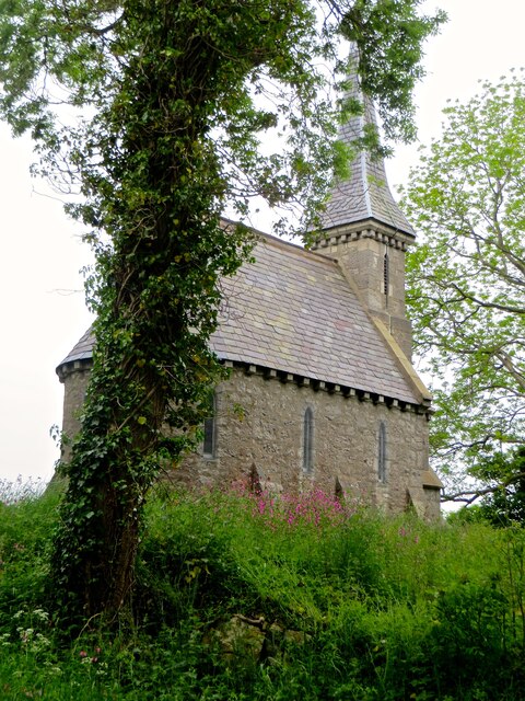
Coed Cyll Images
Images are sourced within 2km of 53.267133/-3.3872342 or Grid Reference SJ0775. Thanks to Geograph Open Source API. All images are credited.


Coed Cyll is located at Grid Ref: SJ0775 (Lat: 53.267133, Lng: -3.3872342)
Unitary Authority: Denbighshire
Police Authority: North Wales
What 3 Words
///dormant.bookmark.cobbles. Near Cwm, Denbighshire
Related Wikis
Rhuallt
Rhuallt is a village in Denbighshire, Wales. The village is situated approximately 5 mi (8.0 km) south of Prestatyn and 2 mi (3.2 km) east of St Asaph...

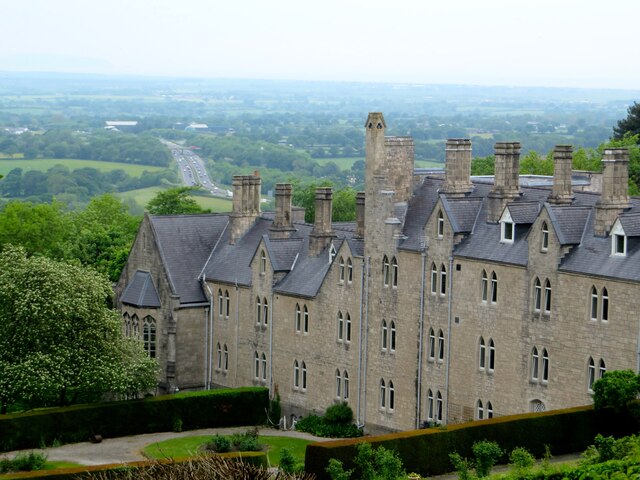
St Beuno's Jesuit Spirituality Centre
St Beuno's Jesuit Spirituality Centre, known locally as St Beuno's College, is a spirituality and retreat centre in Tremeirchion, Denbighshire, Wales....
Mynydd y Cwm
Mynydd y Cwm is a hill in the Clwydian Range in Denbighshire, North Wales. It reaches a height of 304.8 metres (1,000 feet). It has recently been promoted...

Vale of Clwyd (UK Parliament constituency)
The Vale of Clwyd (Welsh: Dyffryn Clwyd) is a constituency of the House of Commons of the UK Parliament created in 1997 and represented since 2019 by James...
Nearby Amenities
Located within 500m of 53.267133,-3.3872342Have you been to Coed Cyll?
Leave your review of Coed Cyll below (or comments, questions and feedback).