Coed Brynpica

Wood, Forest in Montgomeryshire

Wales

Coed Brynpica

The steep slope of Glog from the A483 The road makes a huge loop to traverse the hill and is just visible near the centre of the photo. To the left is the valley of Cwmyrhiwdre.
The steep slope of Glog from the A483 Credit: Eirian Evans

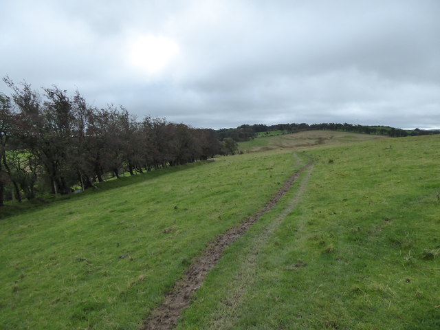
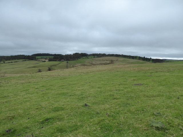
Coed Brynpica, located in Montgomeryshire, is a picturesque wood or forest in Wales. This natural haven is nestled in the heart of the beautiful Welsh countryside, offering a tranquil escape for nature enthusiasts and outdoor adventurers alike.

Spread across a sprawling area, Coed Brynpica is known for its diverse range of flora and fauna. The wood is home to an array of native tree species, including oak, beech, and birch, which provide a lush and vibrant canopy. The forest floor is adorned with an abundance of wildflowers, ferns, and mosses, creating a carpet of colors throughout the seasons.

The biodiversity of Coed Brynpica attracts a variety of wildlife, making it a popular destination for birdwatchers and wildlife photographers. Visitors may spot woodland birds such as the great spotted woodpecker, pied flycatcher, and redstart, as well as mammals like badgers, foxes, and rabbits.

The wood offers a network of well-maintained walking trails, allowing visitors to explore its beauty at their leisure. These trails wind through the forest, offering stunning views of the surrounding countryside and the opportunity to immerse oneself in nature. Additionally, there are picnic areas and benches strategically placed throughout the wood, providing perfect spots to relax and enjoy the peaceful ambiance.

Coed Brynpica is a cherished natural gem in Montgomeryshire, offering a serene and enchanting retreat for those seeking solace in the great outdoors. Whether one wishes to hike, birdwatch, or simply unwind amidst the beauty of nature, this wood promises a memorable and rejuvenating experience.

If you have any feedback on the listing, please let us know in the comments section below.

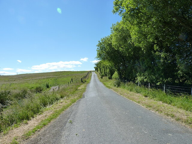
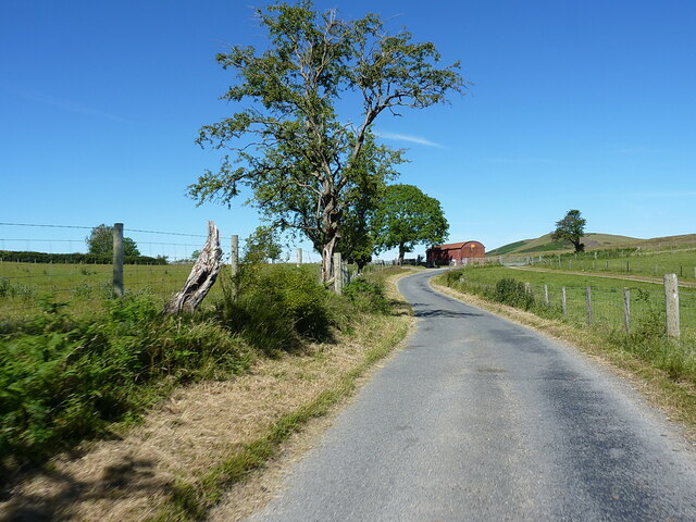
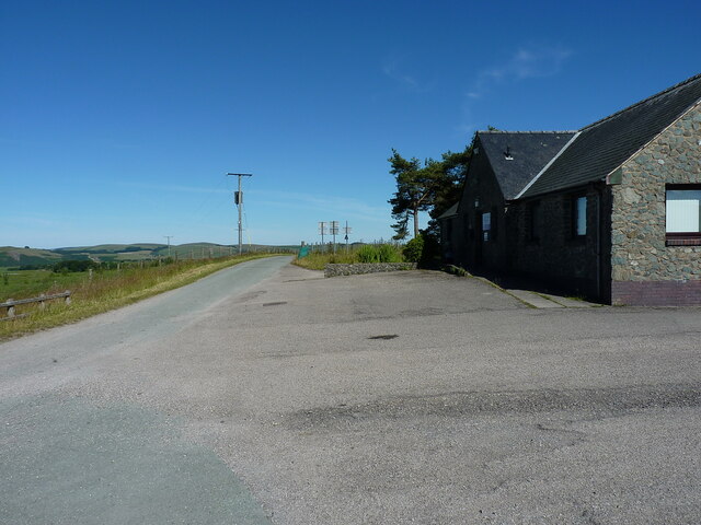
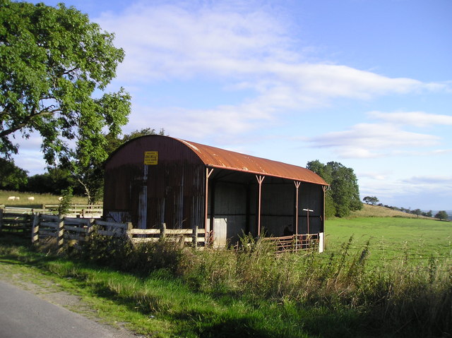
Coed Brynpica Images

Images are sourced within 2km of 52.448177/-3.3743912 or Grid Reference SO0684. Thanks to Geograph Open Source API. All images are credited.

The steep slope of Glog from the A483 The road makes a huge loop to traverse the hill and is just visible near the centre of the photo. To the left is the valley of Cwmyrhiwdre.
The steep slope of Glog from the A483
The road makes a huge loop to traverse the hill and is just visible near the centre of the photo. To the left is the valley of Cwmyrhiwdre.
On the A483 near Camnant
Bridleway crossing the A483 The track on the right comes down from Black Gate on the moor east of here, whilst the fingerpost on the left marks the line of the same bridleway which then ceases to exist at the old road which has now been re-aligned. To be fair, the bridleway probably once continued up onto the hills to the west as a cart track to Seven Wells and beyond, but has long been metalled.
Bridleway crossing the A483
The track on the right comes down from Black Gate on the moor east of here, whilst the fingerpost on the left marks the line of the same bridleway which then ceases to exist at the old road which has now been re-aligned. To be fair, the bridleway probably once continued up onto the hills to the west as a cart track to Seven Wells and beyond, but has long been metalled.
Straight road across Bryn Cwmyrhiwdre Almost the same viewpoint and subject as <a href="https://www.geograph.org.uk/photo/1438255">SO0784 : Road heading up Bryn Cwmyrhiwdre</a>, maybe taken 50 or 60 yards further back along the lane. The windturbines of the Penrhyddlan and Llidiarytwaun Wind Farm are just visible on the horizon.
Straight road across Bryn Cwmyrhiwdre
Almost the same viewpoint and subject as SO0784 : Road heading up Bryn Cwmyrhiwdre, maybe taken 50 or 60 yards further back along the lane. The windturbines of the Penrhyddlan and Llidiarytwaun Wind Farm are just visible on the horizon.
Approaching the bend at Seven Wells A bit of downhill, before the next rather stiff climb up towards the Penrhyddlan and Llidiarytwaun Wind Farm on the moor to the west of here.
Approaching the bend at Seven Wells
A bit of downhill, before the next rather stiff climb up towards the Penrhyddlan and Llidiarytwaun Wind Farm on the moor to the west of here.
Hawthorn and rusty barn beside the bend at Seven Wells
Road junction at Seven Wells A parting of the ways here - the lane we're on rather peters out behind us up in the hills near the windfarm, whilst the one running right to left at the T-junction finds its way back into Newtown through the valleys and fields around Mochdre.
Road junction at Seven Wells
A parting of the ways here - the lane we're on rather peters out behind us up in the hills near the windfarm, whilst the one running right to left at the T-junction finds its way back into Newtown through the valleys and fields around Mochdre.
Road leading past the windfarm site office Presumably used as an operations centre and management post for repairs and so on at the operational windfarms a little further up the hill; it has barely changed since <a href="https://www.geograph.org.uk/photo/647254">SO0483 : Wind farm site office</a> was taken in 2008, apart from the asphalt of the carpark not looking quite so new.
Road leading past the windfarm site office
Presumably used as an operations centre and management post for repairs and so on at the operational windfarms a little further up the hill; it has barely changed since SO0483 : Wind farm site office was taken in 2008, apart from the asphalt of the carpark not looking quite so new.
Turbine debris behind the site office The broken remains of a couple of turbine blades and few pieces of scrap steel etc, awaiting proper disposal, to the rear of the windfarm office building.
Turbine debris behind the site office
The broken remains of a couple of turbine blades and few pieces of scrap steel etc, awaiting proper disposal, to the rear of the windfarm office building.
Part of the A483 (T) above Cwmyrhiwdre near Newtown, Powys A well known section of this great trunk road, just south of the re-entrant switchback, with great views down the Cwm-y-rhiw-dre Brook valley towards the valley of the River Severn, where a temperature inversion fills the valley with 'low cloud'.
Part of the A483 (T) above Cwmyrhiwdre near Newtown, Powys
A well known section of this great trunk road, just south of the re-entrant switchback, with great views down the Cwm-y-rhiw-dre Brook valley towards the valley of the River Severn, where a temperature inversion fills the valley with 'low cloud'.
The valley of the Cwm-y-rhiwdre Brook valley in winter Cold air has sunk into the valley of the River Severn leaving the tributary brook valleys clear of fog, if not of frost. The A483 trunk road runs along the bracken line. A famous viewpoint in conditions like these.
The valley of the Cwm-y-rhiwdre Brook valley in winter
Cold air has sunk into the valley of the River Severn leaving the tributary brook valleys clear of fog, if not of frost. The A483 trunk road runs along the bracken line. A famous viewpoint in conditions like these.
Barn, Seven Wells
Barn, Seven Wells
Track and path through sheep pasture beside the A483 road Nice walking.
Track and path through sheep pasture beside the A483 road
Nice walking.
Waymarker fingerpost and bridleway gate on the A483 road Both in need of some maintenance but always good to see.
Waymarker fingerpost and bridleway gate on the A483 road
Both in need of some maintenance but always good to see.
Farm shed and compound beside the lane With a distant view to Glog, a remarkable mountain.
Farm shed and compound beside the lane
With a distant view to Glog, a remarkable mountain.
Marshy little valley between me and the higher ground My first water crossing of the day's walking; successfully achieved with a little focus. One of many this day.
Marshy little valley between me and the higher ground
My first water crossing of the day's walking; successfully achieved with a little focus. One of many this day.
Footpath line beside the hedgerow Even the sheep seem to be ware of the footpath line.
Footpath line beside the hedgerow
Even the sheep seem to be ware of the footpath line.
Lower slopes of Bryn Cwmyrhiwdre Cattle pasture, so as a walker  am seeking a safe route through without confronting the herd, which at this time of year may well have a bull in with them...

Which I did. I needed to avoid the footpath line, which they straddled, and climb a barbed wire fence, jump a stream and climb a very steep hillside. 

I've had too many run-ins with such herds to risk anything else when walking alone.
Lower slopes of Bryn Cwmyrhiwdre
Cattle pasture, so as a walker am seeking a safe route through without confronting the herd, which at this time of year may well have a bull in with them... Which I did. I needed to avoid the footpath line, which they straddled, and climb a barbed wire fence, jump a stream and climb a very steep hillside. I've had too many run-ins with such herds to risk anything else when walking alone.
Show me another place!

Coed Brynpica is located at Grid Ref: SO0684 (Lat: 52.448177, Lng: -3.3743912)

Unitary Authority: Powys

Police Authority: Dyfed Powys

What 3 Words

///chucks.iterative.readings. Near Mochdre, Powys

Nearby Locations

Coed Brynpica

Related Wikis

Mid Wales

Mid Wales (Welsh: Canolbarth Cymru or simply Y Canolbarth, meaning "the midlands") or Central Wales is a region of Wales, encompassing its midlands, in...

Mochdre, Powys

Mochdre () is a small village in the community of Mochdre with Penstrowed, in Montgomeryshire, Powys, Wales. == Geography == About 3 miles (4.8 km) southwest...

Mochdre with Penstrowed

Mochdre with Penstrowed (Welsh: Mochdre gyda Phenystrywaid), or just Mochdre, is a community in Montgomeryshire, Powys, Wales. The community includes Mochdre...

Dolfor

Dolfor is a small hamlet in the north of Powys, Wales. It is located about three miles to the south of Newtown, at the junction of the B4355 and A483 roads...

Related Videos

2017 Easter at Cefn Lea

In this video we hear young and old LCSB members talking about the Easter experience at Cefn Lea in mid-Wales. The theme ...

2016 Easter at Cefn Lea

In this video we hear young and old LCSB members talking about the Easter experience at Cefn Lea in mid-Wales.

Nearby Amenities

Located within 500m of 52.448177,-3.3743912
Building: yes
Lat/Long: 52.4470493/-3.3697866
Building: yes
Lat/Long: 52.4504234/-3.3722757
Power: pole
Lat/Long: 52.4518581/-3.3744261
Power: pole
Lat/Long: 52.4512173/-3.3741043
Power: pole
Lat/Long: 52.450288/-3.3736577
Power: pole
Lat/Long: 52.4497568/-3.3747574
Power: pole
Lat/Long: 52.4492892/-3.3757069
Power: pole
Lat/Long: 52.4488479/-3.3768066
Power: pole
Lat/Long: 52.4484523/-3.3779117
Power: pole
Lat/Long: 52.4480419/-3.3788773
Power: pole
Lat/Long: 52.4475989/-3.3799797
Power: pole
Lat/Long: 52.4472066/-3.3810069
The data included in this document is from www.openstreetmap.org. The data is made available under ODbL.

Have you been to Coed Brynpica?

Leave your review of Coed Brynpica below (or comments, questions and feedback).