Coed y Cwm

Wood, Forest in Montgomeryshire

Wales

Coed y Cwm

Meadow, north of Adfa On the west side of the road to Llanllugan. About 250 metres above sea level.
Meadow, north of Adfa Credit: Christine Johnstone

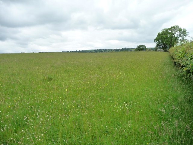
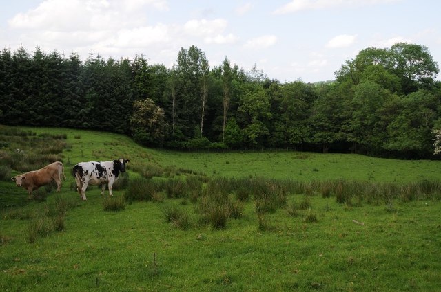
Coed y Cwm is a picturesque woodland located in Montgomeryshire, Wales. Covering an area of approximately 100 acres, the forest is home to a diverse range of flora and fauna, making it a popular destination for nature lovers and outdoor enthusiasts.

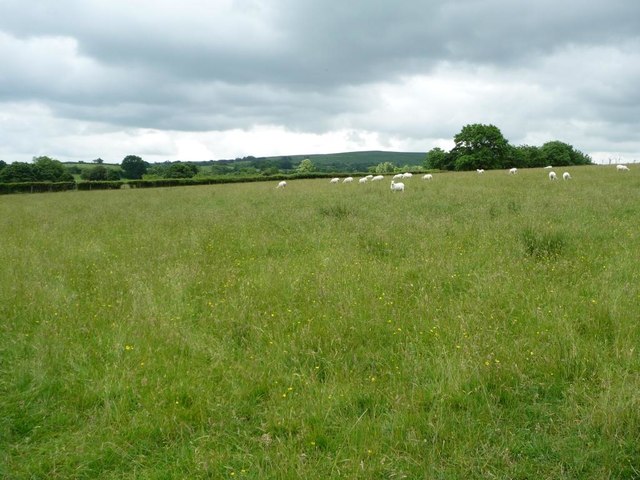
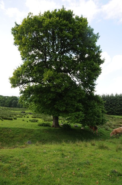
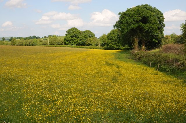
The woodland is characterized by its dense canopy of oak, beech, and ash trees, which provide a habitat for a variety of bird species such as woodpeckers, owls, and thrushes. The forest floor is carpeted with ferns, mosses, and wildflowers, creating a vibrant and colorful landscape.

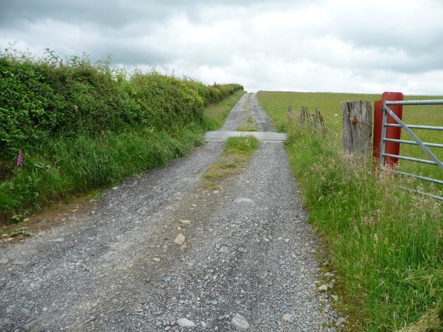
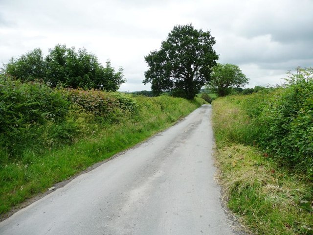
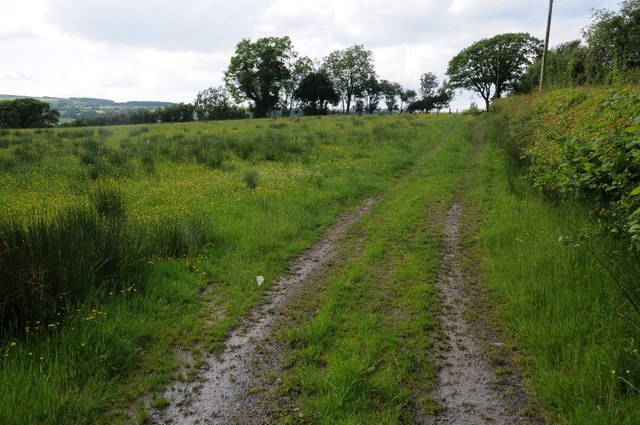
Coed y Cwm offers a network of walking trails and paths that wind through the forest, allowing visitors to explore its beauty at their own pace. The tranquil atmosphere and stunning scenery make it an ideal location for hiking, birdwatching, and photography.

In addition to its natural beauty, Coed y Cwm has historical significance, with remnants of ancient settlements and structures scattered throughout the woodland. These archaeological sites add an extra layer of intrigue to the forest, providing visitors with a glimpse into the area's rich past.

Overall, Coed y Cwm is a hidden gem in Montgomeryshire, offering a peaceful retreat for those looking to connect with nature and immerse themselves in the beauty of the Welsh countryside.

If you have any feedback on the listing, please let us know in the comments section below.

Coed y Cwm Images

Images are sourced within 2km of 52.590517/-3.3843186 or Grid Reference SJ0600. Thanks to Geograph Open Source API. All images are credited.

Meadow, north of Adfa On the west side of the road to Llanllugan. About 250 metres above sea level.
Meadow, north of Adfa
On the west side of the road to Llanllugan. About 250 metres above sea level.
259 metre spot height on a farm track north of Adfa The track heads west from the Adfa - Llanllugan road. It is not a public footpath.
259 metre spot height on a farm track north of Adfa
The track heads west from the Adfa - Llanllugan road. It is not a public footpath.
Grazing sheep, north of Adfa On the west side of the road to Llanllugan.
Grazing sheep, north of Adfa
On the west side of the road to Llanllugan.
The road from Llanllugan to Adfa Heading south.
The road from Llanllugan to Adfa
Heading south.
Cattle in a field Cattle in a field near Hên-dai, south-west of Cefn Coch.
Cattle in a field
Cattle in a field near Hên-dai, south-west of Cefn Coch.
Tree in a field Tree in a field near Cefn Coch in the Rhiw valley.  The same photographed eleven years ago <a href="https://www.geograph.org.uk/photo/561006">SJ0401 : Tree near Crugnant Farm</a>.
Tree in a field
Tree in a field near Cefn Coch in the Rhiw valley. The same photographed eleven years ago SJ0401 : Tree near Crugnant Farm.
Track to Cytir What appears to be a little used track to Cytir near Adfa.
Track to Cytir
What appears to be a little used track to Cytir near Adfa.
A field of buttercups A field of buttercups near Adfa in the Rhiw valley.
A field of buttercups
A field of buttercups near Adfa in the Rhiw valley.
Field of buttercups Field of buttercups near Adfa in the Rhiw valley.
Field of buttercups
Field of buttercups near Adfa in the Rhiw valley.
Rhiw valley The Rhiw valley near Llanllugan.
Rhiw valley
The Rhiw valley near Llanllugan.
Field headland track Field headland track in Rhiw valley near Llanllugan.
Field headland track
Field headland track in Rhiw valley near Llanllugan.
Cattle pasture There is a large herd down there complete with calves and a bull. We give them a wide berth and keep an eye on them, and sure enough, by the time we departed their fields they had herded up and galloped around the field in a defensive-offensive wedge, leaving the rather chilled bull plodding far behind. He is obviously a gentleman and never runs in public. His herd matriarchs were very dutiful and protected their charges thoroughly.
Cattle pasture
There is a large herd down there complete with calves and a bull. We give them a wide berth and keep an eye on them, and sure enough, by the time we departed their fields they had herded up and galloped around the field in a defensive-offensive wedge, leaving the rather chilled bull plodding far behind. He is obviously a gentleman and never runs in public. His herd matriarchs were very dutiful and protected their charges thoroughly.
Rough grazing for sheep Rough as can be I think.
Rough grazing for sheep
Rough as can be I think.
Track with sheep pens A suitable spot to stop and take on board some cake and a brew.
Track with sheep pens
A suitable spot to stop and take on board some cake and a brew.
Track up Mynydd Clogau A long uphill trek ahead, but it is on the return leg of our walk, which turned out to be 15.3 miles, further than the 12 miles I had calculated when drawing up the route. And we cut a few corners off. And the terrain was demanding. And additionally the weather was 'mixed' - which In British vernacular means lousy for the most part, with a few sunny intervals. Great fun though.
Track up Mynydd Clogau
A long uphill trek ahead, but it is on the return leg of our walk, which turned out to be 15.3 miles, further than the 12 miles I had calculated when drawing up the route. And we cut a few corners off. And the terrain was demanding. And additionally the weather was 'mixed' - which In British vernacular means lousy for the most part, with a few sunny intervals. Great fun though.
On the track on Mynydd Clogau In mixed August weather.
On the track on Mynydd Clogau
In mixed August weather.
On an upland track Looking behind us to the weather effects.
On an upland track
Looking behind us to the weather effects.
Upland view Somewhere out there is the line of a Roman road to Caersws.
Upland view
Somewhere out there is the line of a Roman road to Caersws.
Show me another place!

Coed y Cwm is located at Grid Ref: SJ0600 (Lat: 52.590517, Lng: -3.3843186)

Unitary Authority: Powys

Police Authority: Dyfed Powys

What 3 Words

///lightens.bead.nation. Near Llanfair Caereinion, Powys

Nearby Locations

Coed y Cwm Rhosydd

Related Wikis

Adfa, Powys

Adfa is a village in the Welsh county of Powys, in mid Wales. It is in the historic county of Montgomeryshire. == External links == Photos of Adfa and...

Llanllugan Abbey

Llanllugan Abbey was a monastery of Cistercian nuns located at Llanllugan, Powys, Wales. It was one of only two Cistercian women's monasteries in Wales...

Cefn Coch

Cefn Coch is a small village or hamlet near Llanfair Caereinion in Mid Wales, located at grid reference SJ 0482 0284. In 2012, the village was chosen as...

River Rhiw

The River Rhiw (Welsh: Afon Rhiw meaning 'slope river' or 'stream river') is a short river in the north of Powys in Wales. Two headwater tributaries both...

Nearby Amenities

Located within 500m of 52.590517,-3.3843186
Place: farm
Lat/Long: 52.590252/-3.3908923
Place: farm
Lat/Long: 52.5914383/-3.3901949
Building: yes
Lat/Long: 52.5915621/-3.3841975
Building: yes
Lat/Long: 52.591712/-3.3800025
The data included in this document is from www.openstreetmap.org. The data is made available under ODbL.

Have you been to Coed y Cwm?

Leave your review of Coed y Cwm below (or comments, questions and feedback).