Button's Green
Settlement in Suffolk Babergh
England
Button's Green
The requested URL returned error: 429 Too Many Requests
If you have any feedback on the listing, please let us know in the comments section below.
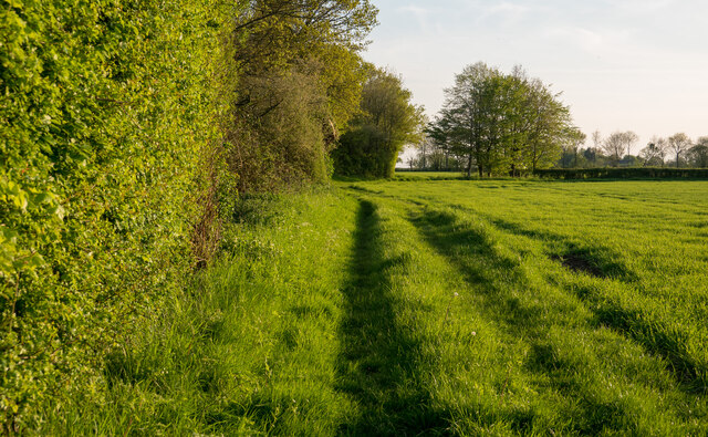
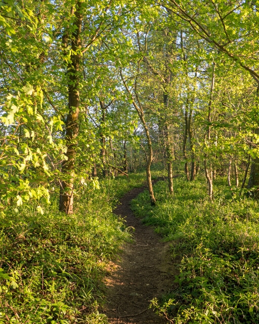
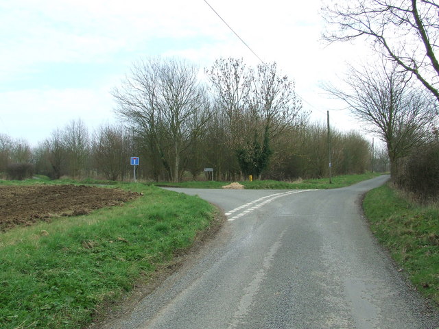
Button's Green Images
Images are sourced within 2km of 52.144332/0.803166 or Grid Reference TL9153. Thanks to Geograph Open Source API. All images are credited.


Button's Green is located at Grid Ref: TL9153 (Lat: 52.144332, Lng: 0.803166)
Administrative County: Suffolk
District: Babergh
Police Authority: Suffolk
What 3 Words
///curable.furnish.perfumed. Near Lavenham, Suffolk
Nearby Locations
Related Wikis

Cockfield Windmill
Cockfield Mill is a tower mill at Cockfield, Suffolk, England, which has been converted to residential accommodation. == History == Cockfield Mill was...

Bull's Wood
Bull's Wood is a 12 hectare nature reserve east of Cockfield in Suffolk, England. It is managed by the Suffolk Wildlife Trust, and is part of the Thorpe...
Rooksey Green
Rooksey Green is a hamlet in the parish of Preston St Mary, in the Babergh District in the English county of Suffolk. == Other nearby settlements == Other...

Cockfield railway station
Cockfield railway station was on the Long Melford-Bury St Edmunds branch line in Cockfield, Suffolk. The station building still stands, but is in a semi...
Nearby Amenities
Located within 500m of 52.144332,0.803166Have you been to Button's Green?
Leave your review of Button's Green below (or comments, questions and feedback).