Aber-ffrŵd Plantation
Wood, Forest in Glamorgan
Wales
Aber-ffrŵd Plantation
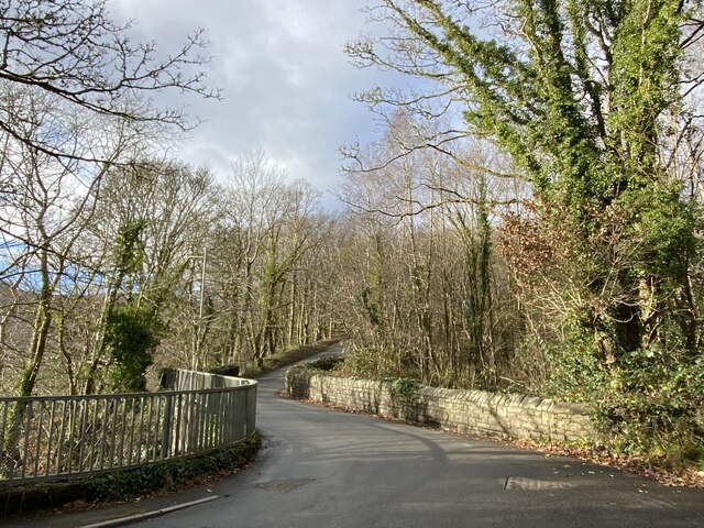
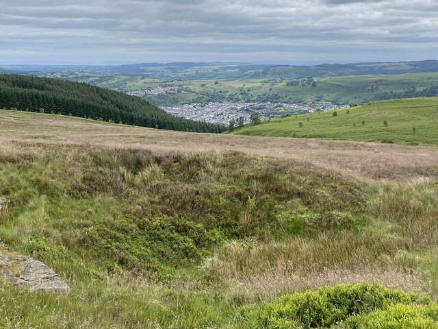
Aber-ffrŵd Plantation is a charming woodland area located in Glamorgan, a historic county in South Wales, United Kingdom. This picturesque plantation covers an area of approximately 30 acres and is situated near the village of Aber-ffrŵd.
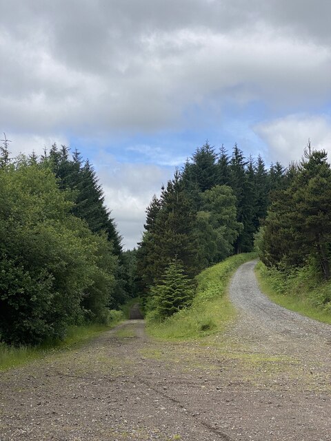
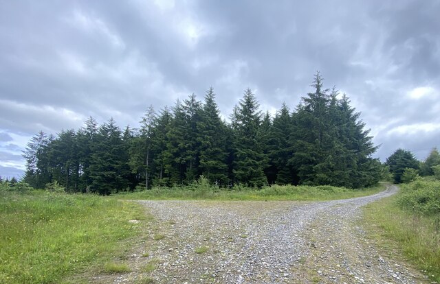
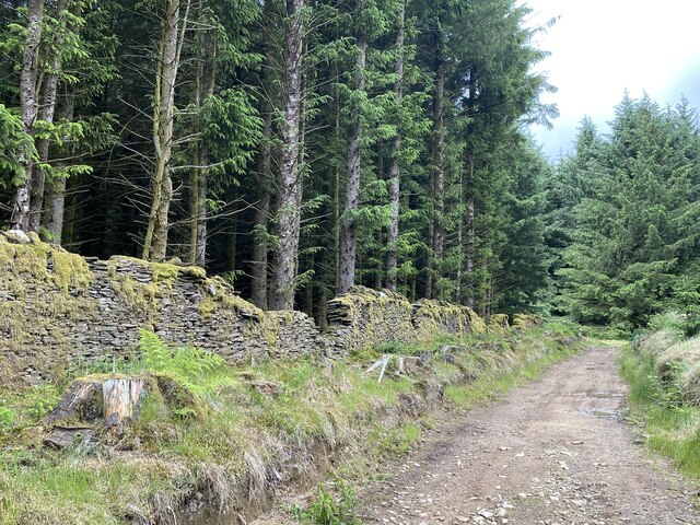
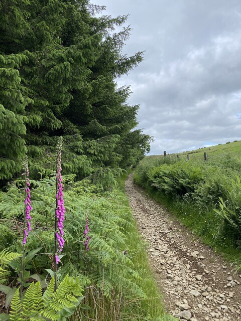
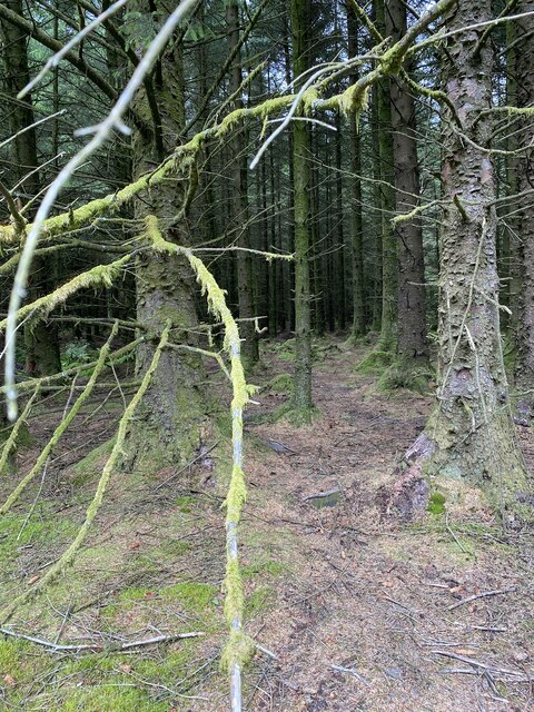
The plantation consists mainly of native broadleaf trees, including oak, beech, and ash, creating a diverse and vibrant ecosystem. The lush undergrowth is abundant with ferns, bluebells, and other wildflowers, adding to the natural beauty of the area. The plantation is crisscrossed with several winding footpaths, allowing visitors to explore the woods and soak in its tranquil ambiance.
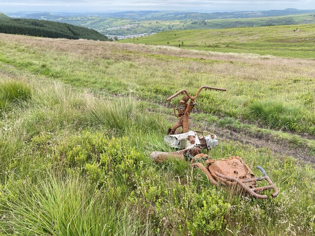
Aber-ffrŵd Plantation is a haven for wildlife enthusiasts, as it provides a habitat for a variety of bird species, such as woodpeckers, owls, and wrens. Squirrels can also be spotted scampering through the treetops, adding a touch of playfulness to the surroundings. The plantation is a popular destination for birdwatching and nature photography, attracting visitors from near and far.
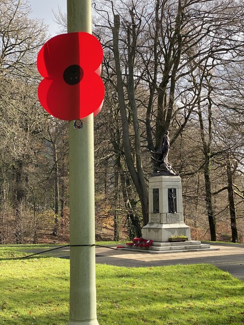
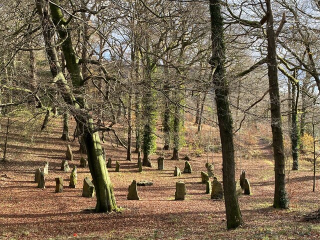
In addition to its natural wonders, Aber-ffrŵd Plantation holds historical significance. It is believed to have been part of a larger medieval hunting forest, offering a glimpse into the region's past. The ancient ruins of a small stone building can still be found within the woodland, adding an air of mystery and intrigue.
Overall, Aber-ffrŵd Plantation is a captivating woodland retreat that offers a peaceful escape from the hustle and bustle of everyday life. Whether it's for a leisurely stroll, birdwatching, or historical exploration, visitors are sure to find solace and fascination amidst the enchanting beauty of this Glamorgan woodland.
If you have any feedback on the listing, please let us know in the comments section below.
Aber-ffrŵd Plantation Images
Images are sourced within 2km of 51.69113/-3.377116 or Grid Reference SO0400. Thanks to Geograph Open Source API. All images are credited.


Aber-ffrŵd Plantation is located at Grid Ref: SO0400 (Lat: 51.69113, Lng: -3.377116)
Unitary Authority: Rhondda Cynon Taf
Police Authority: South Wales
What 3 Words
///protester.rankings.revealing. Near Mountain Ash, Rhondda Cynon Taf
Nearby Locations
Related Wikis

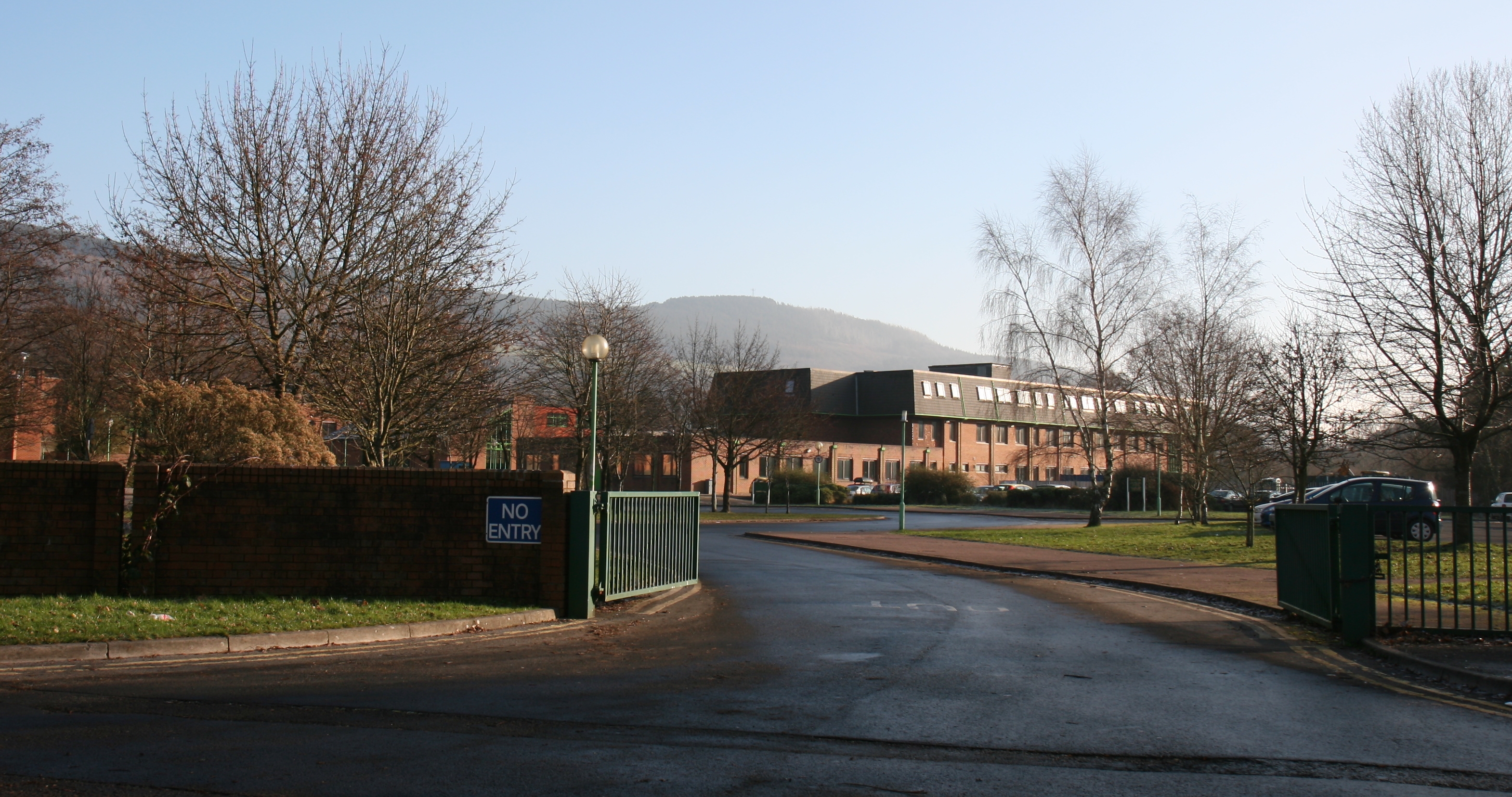
Mountain Ash General Hospital
Mountain Ash General Hospital (Welsh: Ysbyty Cyffredinol Mountain Ash) was a health facility on Duffryn Road, Mountain Ash, Rhondda Cynon Taf, Wales. It...

Mountain Ash Town Hall
Mountain Ash Town Hall (Welsh: Neuadd y Dref Aberpennar) is a municipal structure in Ffrwd Crescent, Mountain Ash, Rhondda Cynon Taf, Wales. The town...

Mountain Ash Urban District
Mountain Ash Urban District was a local authority in Mountain Ash, in the Cynon Valley, Glamorgan, Wales. It was created in 1894 as a result of the 1894...

Bethania Chapel, Mountain Ash
Bethania is an Independent chapel in Phillip Street, Mountain Ash, Glamorgan, Wales. Services at Bethania are conducted in the Welsh language. == Early... ==

Cwmpennar
Cwmpennar (or Cwm Pennar) is a small village in Mountain Ash which is situated in the Cynon Valley, Rhondda Cynon Taff, Wales. Cwmpennar lies opposite...
Mountain Ash Cardiff Road railway station
Mountain Ash Cardiff Road railway station served the town of Mountain Ash, Rhondda Cynon Taf, Wales, from 1864 to 1964 on the Vale of Neath Railway....
Mountain Ash Comprehensive School
Mountain Ash Comprehensive School (Welsh: Ysgol Gyfun Aberpennar), known as MACS, is a comprehensive school near the town of Mountain Ash, Rhondda Cynon...
Bethlehem Chapel, Mountain Ash
Bethlehem, Mountain Ash was a Calvinistic Methodist chapel in Pryce Street, Mountain Ash, Glamorgan, Wales. Services at Bethlehem were conducted in the...
Nearby Amenities
Located within 500m of 51.69113,-3.377116Have you been to Aber-ffrŵd Plantation?
Leave your review of Aber-ffrŵd Plantation below (or comments, questions and feedback).