Coed Hafotty
Wood, Forest in Merionethshire
Wales
Coed Hafotty
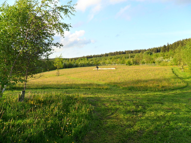
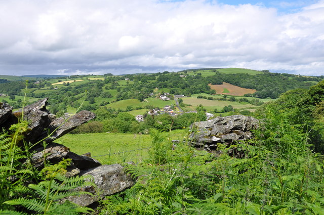
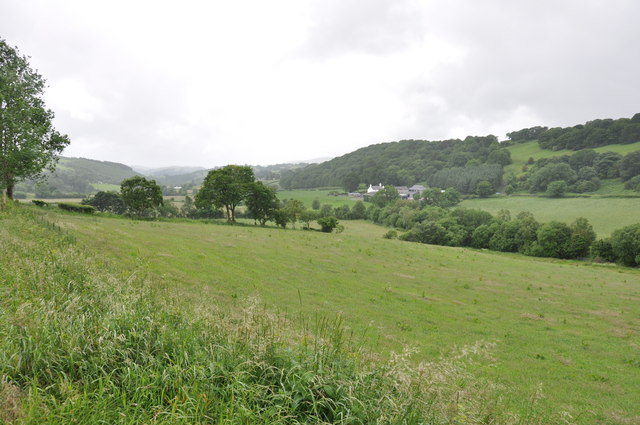
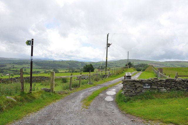
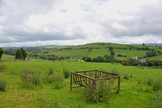
Coed Hafotty, located in Merionethshire, is a picturesque woodland area that offers visitors a tranquil retreat within the heart of nature. Spanning over a significant area, this forest is a perfect destination for nature enthusiasts, hikers, and those seeking a peaceful getaway.
The woodland is characterized by its diverse range of tree species, including native oaks, beech, and birch trees. These majestic trees create a dense canopy, providing shade and shelter for the various wildlife inhabiting the area. Visitors can expect to encounter a rich variety of birds, such as woodpeckers, owls, and songbirds, adding to the serene ambiance of the forest.
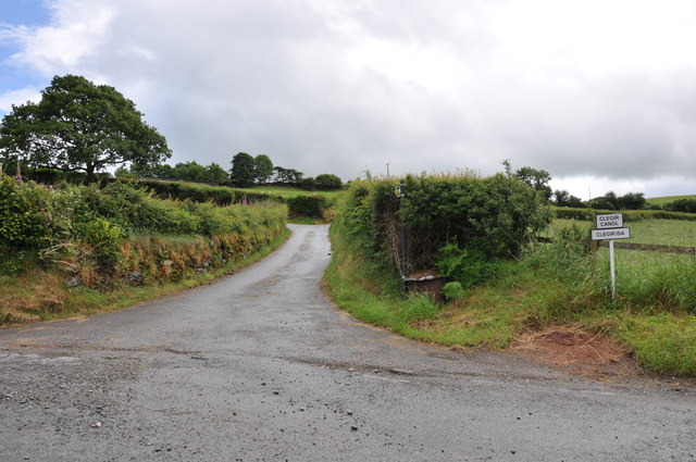
Numerous walking trails wind their way through Coed Hafotty, offering visitors the opportunity to explore the natural beauty at their own pace. These paths range from easy strolls to more challenging hikes, accommodating visitors of all fitness levels. Along the way, hikers may stumble upon hidden streams and cascading waterfalls, enhancing the enchanting atmosphere of the woodland.
Coed Hafotty is also home to a variety of plant species, including vibrant wildflowers and ferns. During the spring and summer months, the forest bursts into a riot of colors, with blooms of bluebells, primroses, and foxgloves covering the forest floor.
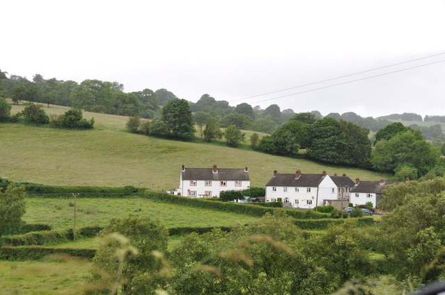
Visitors to Coed Hafotty can indulge in a range of outdoor activities, including picnicking, birdwatching, and even camping. The forest provides an ideal setting for families to connect with nature and create lasting memories.
Overall, Coed Hafotty in Merionethshire is a captivating woodland area that offers an idyllic escape from the hustle and bustle of everyday life. With its diverse ecosystem, scenic beauty, and peaceful ambiance, it is a must-visit destination for nature lovers and outdoor enthusiasts alike.
If you have any feedback on the listing, please let us know in the comments section below.
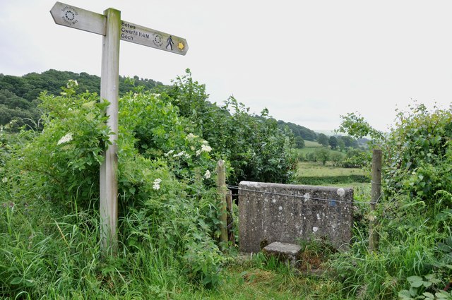
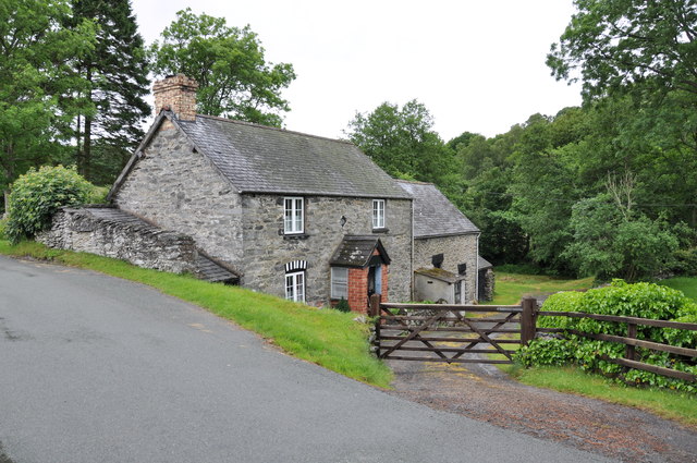
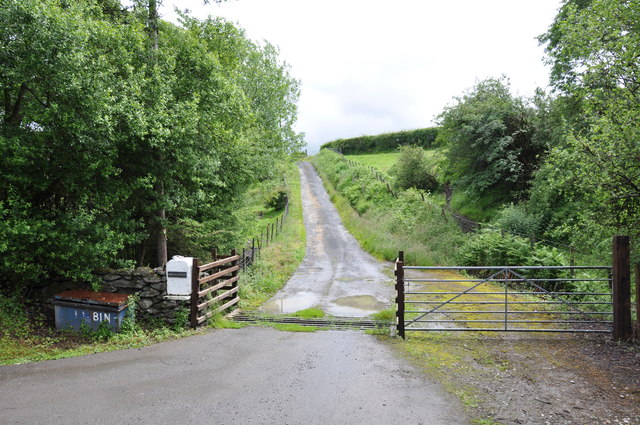
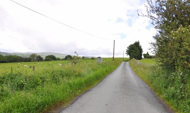
Coed Hafotty Images
Images are sourced within 2km of 53.019519/-3.4372993 or Grid Reference SJ0347. Thanks to Geograph Open Source API. All images are credited.


Coed Hafotty is located at Grid Ref: SJ0347 (Lat: 53.019519, Lng: -3.4372993)
Unitary Authority: Denbighshire
Police Authority: North Wales
What 3 Words
///crinkled.emphasis.handy. Near Derwen, Denbighshire
Nearby Locations
Related Wikis

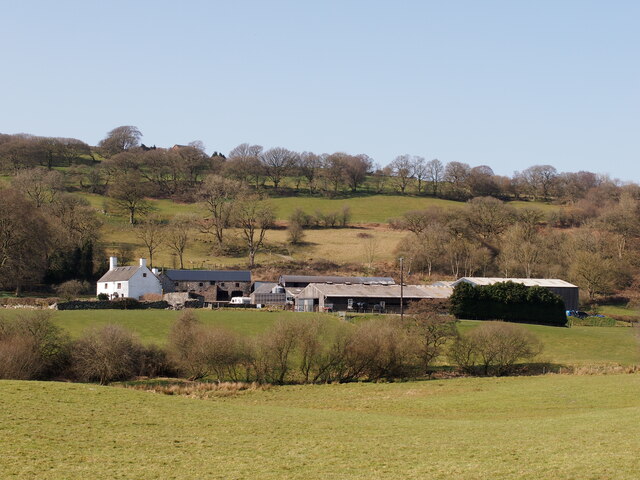
Melin-y-Wig
Melin-y-Wig is a village in Denbighshire, Wales. It is situated on the River Clwyd (Welsh: Afon Clwyd). Rising in the nearby Clocaenog Forest (grid reference...

Betws Gwerfil Goch
Betws Gwerfil Goch (Standard Welsh: Betws Gwerful Goch) is a village and community in Denbighshire, Wales. It had a population of 351 at the 2011 census...

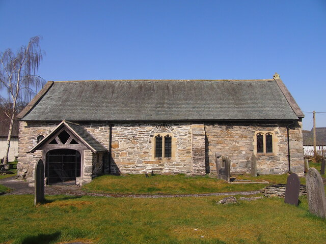
St Mary's Church, Betws Gwerful Goch
St Mary's Church, Betws Gwerful Goch, is in the village of Betws Gwerful Goch, Denbighshire, Wales. It is an active Anglican church in the deanery of...

Coedydd Dyffryn Alwen
Coedydd Dyffryn Alwen is a Site of Special Scientific Interest in the preserved county of Clwyd, north Wales. It contains a mix of different woodland types...
Nearby Amenities
Located within 500m of 53.019519,-3.4372993Have you been to Coed Hafotty?
Leave your review of Coed Hafotty below (or comments, questions and feedback).