Coed Dafarn-newydd
Wood, Forest in Montgomeryshire
Wales
Coed Dafarn-newydd
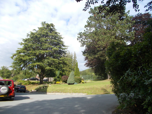
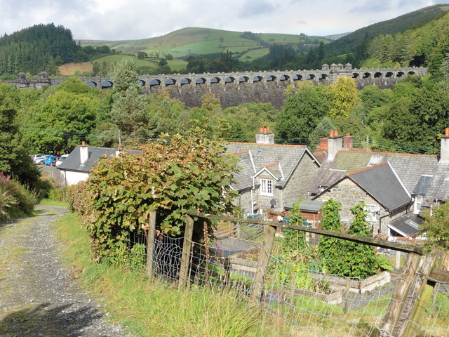
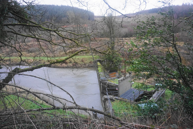
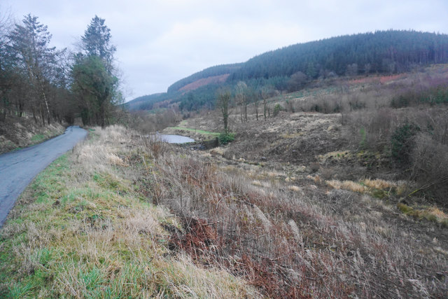
Coed Dafarn-newydd is a picturesque woodland area located in Montgomeryshire, Wales. With an area spanning several acres, this forest offers a tranquil and scenic retreat for nature enthusiasts and outdoor adventurers alike.
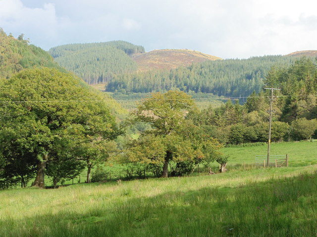
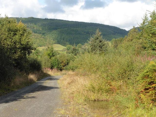
The woodland is characterized by a diverse range of tree species, including oak, beech, and pine, which create a colorful and vibrant landscape throughout the year. The forest floor is adorned with a carpet of lush green moss and wildflowers, adding to its natural beauty.
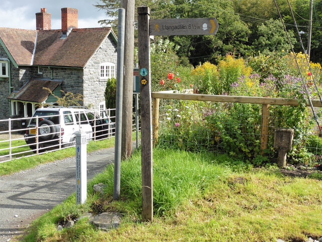
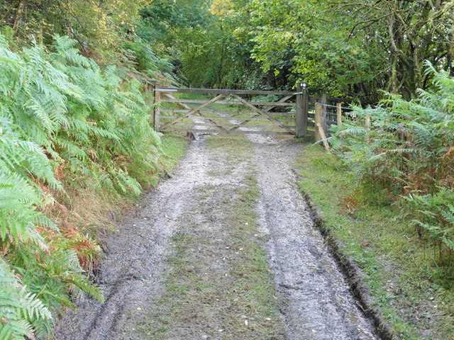
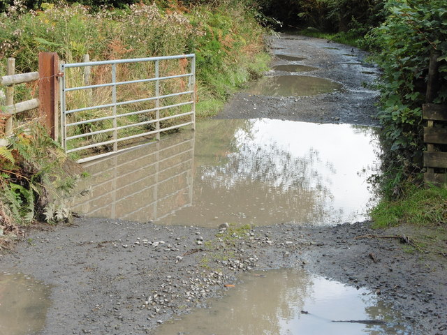
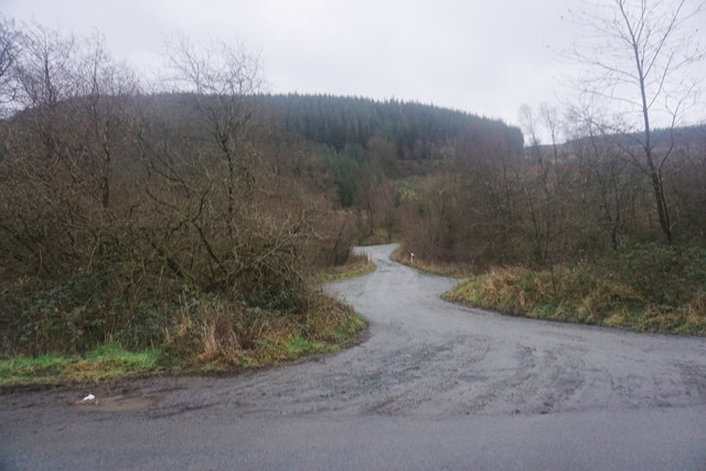
Coed Dafarn-newydd boasts a network of well-maintained walking trails that wind their way through the forest, providing visitors with the opportunity to explore its hidden gems. The trails vary in difficulty, catering to both casual strollers and more experienced hikers. Along the way, visitors can encounter a variety of wildlife, such as deer, squirrels, and a multitude of bird species.
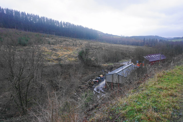
For those seeking a more immersive experience, Coed Dafarn-newydd offers camping facilities nestled within the forest. Campers can pitch their tents in designated areas and enjoy the peaceful ambiance of the woodland, while also having access to basic amenities.
The forest is managed by the local authorities, who ensure the preservation and conservation of its natural resources. They also organize educational programs and guided tours to raise awareness about the importance of environmental sustainability.
Coed Dafarn-newydd is a true haven for nature lovers, offering a tranquil escape from the hustle and bustle of everyday life. Whether one chooses to take a leisurely stroll, embark on a challenging hike, or simply soak in the serenity of the surroundings, this woodland provides an idyllic retreat for all who visit.
If you have any feedback on the listing, please let us know in the comments section below.
Coed Dafarn-newydd Images
Images are sourced within 2km of 52.762671/-3.4351684 or Grid Reference SJ0319. Thanks to Geograph Open Source API. All images are credited.

Coed Dafarn-newydd is located at Grid Ref: SJ0319 (Lat: 52.762671, Lng: -3.4351684)
Unitary Authority: Powys
Police Authority: Dyfed Powys
What 3 Words
///courier.patting.rehearsed. Near Llangynog, Powys
Nearby Locations
Related Wikis

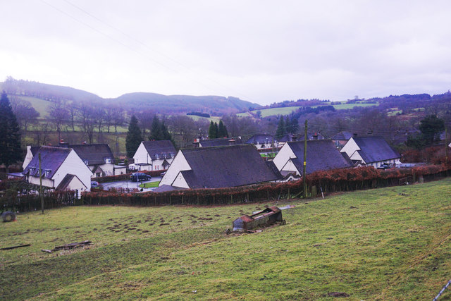
Abertridwr, Powys
Abertridwr () is a small village in the historic county of Montgomeryshire in the north of Powys and close to Lake Vyrnwy in the community (civil parish...

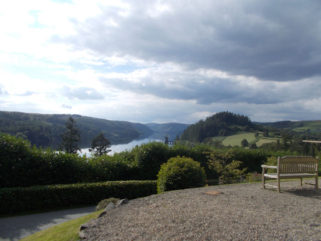
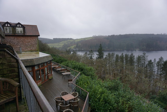
Llanwddyn
Llanwddyn () is a village and community in Montgomeryshire, Powys, Wales. The community is centred on the Lake Vyrnwy reservoir. The original Llanwddyn...
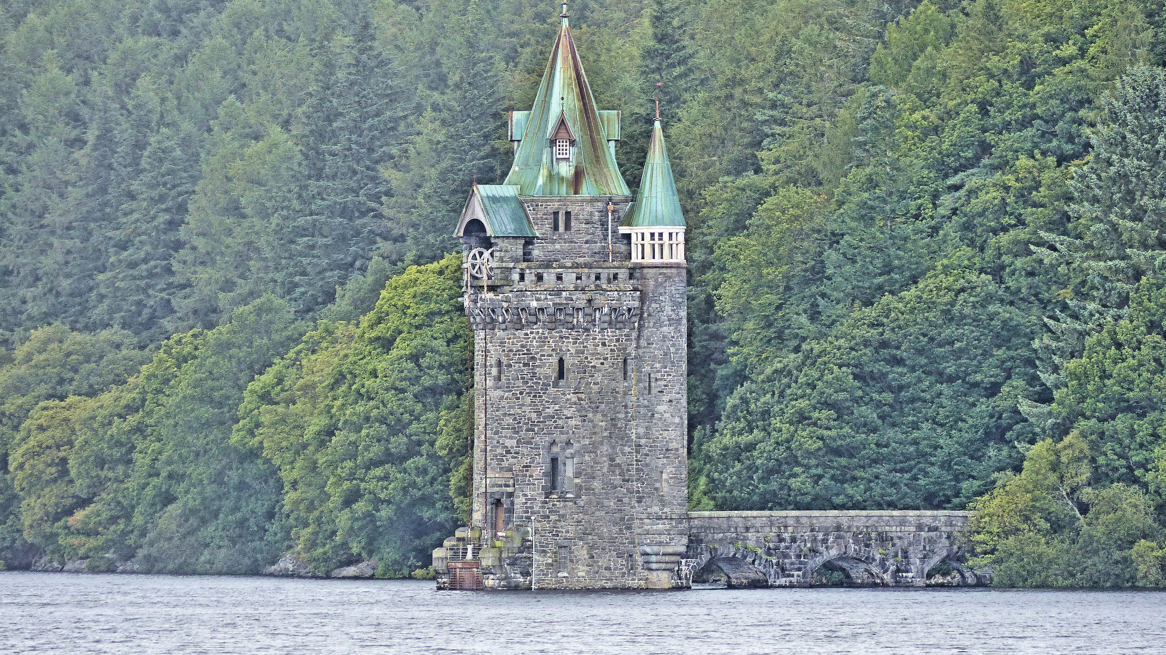
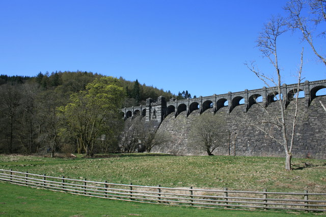
Lake Vyrnwy Straining Tower
The Straining Tower at Lake Vyrnwy is an intake tower built to extract water from the lake. The tower stands on the north shore of Lake Vyrnwy, near the...

Llwydiarth
Llwydiarth is a small village in Powys, Wales. It is located near Lake Vyrnwy. The village is mostly made up of a caravan park and holiday centre. It does...
Related Videos
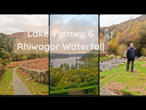
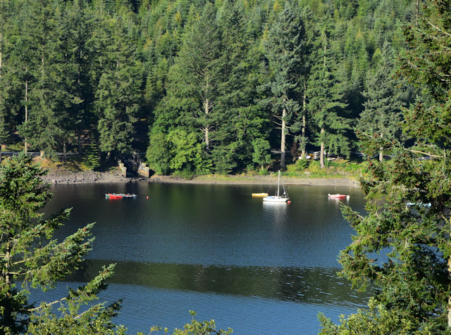
Lake Vywrny & Rhiwagor Waterfall Trip
A lovely little visit to the Lake Vywrny area with an overnight stay in the Lake Vywrny Hotel & Spa. A lovely hotel with great views.
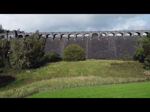
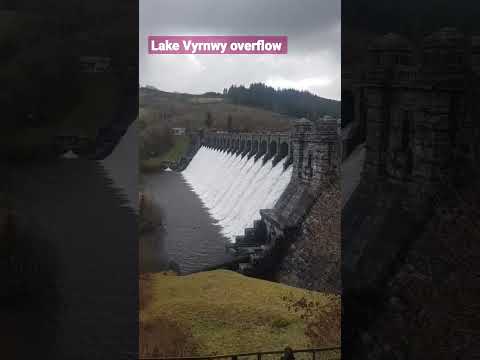
Llyn Vyrnwy Dam
djimini2 drone flyover of Llyn Vyrnwy Dam in September 2023 #djimini2 #lake #dam.

Zenith Rideouts Trip to Wales Part 1.
This video sees us on our Weekend trip to Wales. There are a few still shots taken at llandegla fishery, Vyrnwy dam and a few on ...
Nearby Amenities
Located within 500m of 52.762671,-3.4351684Have you been to Coed Dafarn-newydd?
Leave your review of Coed Dafarn-newydd below (or comments, questions and feedback).