Japanese Wood
Wood, Forest in Montgomeryshire
Wales
Japanese Wood

Japanese Wood is a picturesque woodland located in Montgomeryshire, a county in Wales, United Kingdom. This enchanting forest covers an area of approximately 100 acres, offering visitors a serene and tranquil escape from the hustle and bustle of everyday life.
What makes Japanese Wood truly unique is its fascinating collection of Japanese tree species, which were introduced to the area in the late 19th century. The wood is home to a diverse range of trees including Japanese larch, Japanese maple, Japanese cedar, and Japanese cherry blossom trees. These exotic species create a stunning display of colors throughout the seasons, with vivid shades of red, orange, and pink during autumn, and delicate pink and white blossoms in the spring.
The woodland is carefully maintained to preserve its natural beauty, with well-maintained trails that allow visitors to explore the area and appreciate its unique flora and fauna. Along the paths, visitors may encounter native wildlife such as red squirrels, woodpeckers, and various species of butterflies.
Japanese Wood also offers a peaceful atmosphere for those seeking solace and relaxation. The sounds of trickling streams and birdsong create a soothing ambiance, making it an ideal place for meditation or simply enjoying a peaceful walk in nature.
Overall, Japanese Wood in Montgomeryshire is a captivating destination that combines the beauty of Japanese flora with the charm of Welsh woodlands, creating a truly magical experience for nature enthusiasts and visitors alike.
If you have any feedback on the listing, please let us know in the comments section below.
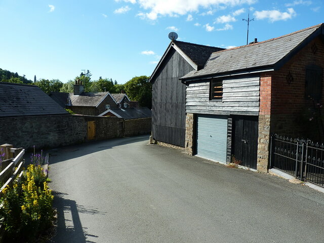
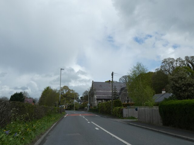
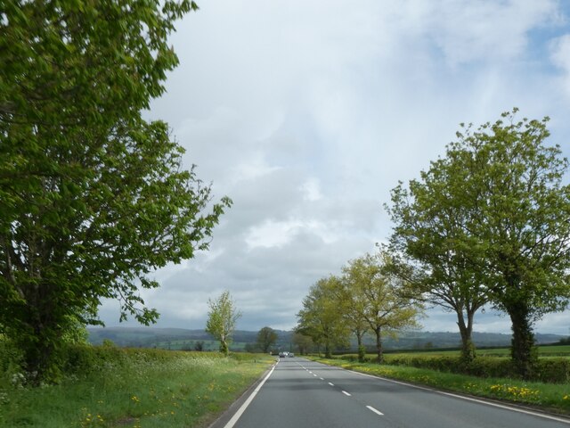
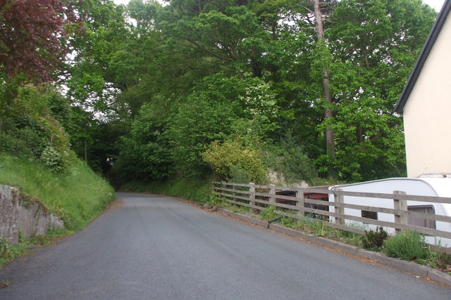
Japanese Wood Images
Images are sourced within 2km of 52.491601/-3.4283574 or Grid Reference SO0389. Thanks to Geograph Open Source API. All images are credited.


![Council axle weight restriction on Llandinam Bridge Dated 1906 by Montgomeryshire CC, the cast iron sign states that &quot;This bridge is insufficient[ly strong] to carry heavy motor cars&quot; where the registered axle weight of any axle exceeds three tons. It forms part of the bridge&#039;s Grade II* listing <span class="nowrap"><a title="https://britishlistedbuildings.co.uk/300015653-llandinam-bridge-llandinam#.Yt14XnbMLIU" rel="nofollow ugc noopener" href="https://britishlistedbuildings.co.uk/300015653-llandinam-bridge-llandinam#.Yt14XnbMLIU">Link</a><img style="margin-left:2px;" alt="External link" title="External link - shift click to open in new window" src="https://s1.geograph.org.uk/img/external.png" width="10" height="10"/></span>](https://s0.geograph.org.uk/geophotos/07/23/69/7236920_fef2575f.jpg)


Japanese Wood is located at Grid Ref: SO0389 (Lat: 52.491601, Lng: -3.4283574)
Unitary Authority: Powys
Police Authority: Dyfed Powys
What 3 Words
///corrode.sudden.oaks. Near Mochdre, Powys
Nearby Locations
Related Wikis
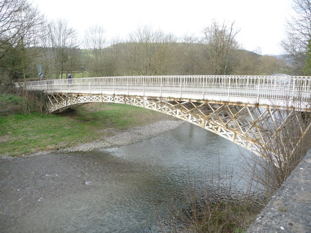
Llandinam Bridge
Llandinam Bridge (Welsh: Pont Llandinam) is a single-arch cast-iron Grade II*-listed bridge located in Llandinam, Powys, Wales. Constructed in 1846, it...

Llandinam railway station
Llandinam railway station was a station serving Llandinam, Powys, on the Llanidloes and Newtown Railway (L&NR) line. The L&NR was authorised in August...

Penystrywad
Penystrywad is a village near Llandinam in Powys, central Wales, between Newtown and Llanidloes, located on the A470.

Llandinam
Llandinam () is a village and community in Montgomeryshire, Powys, central Wales, between Newtown and Llanidloes, located on the A470. As a community,...
Nearby Amenities
Located within 500m of 52.491601,-3.4283574Have you been to Japanese Wood?
Leave your review of Japanese Wood below (or comments, questions and feedback).