Allt Cynhelyg
Wood, Forest in Brecknockshire
Wales
Allt Cynhelyg

Allt Cynhelyg is a wooded area located in the county of Brecknockshire, Wales. Situated in the heart of the Brecon Beacons National Park, this forested landscape offers an enchanting and tranquil escape for nature lovers and outdoor enthusiasts.
Covering an area of approximately 100 square kilometers, Allt Cynhelyg is characterized by its diverse range of tree species, including oak, beech, birch, and pine. The dense woodland provides a haven for a wide variety of wildlife, such as red deer, foxes, badgers, and a plethora of bird species, making it a popular spot for birdwatching and wildlife photography.
The forest is crisscrossed by a network of walking trails, allowing visitors to explore the beauty of the woodland at their own pace. These trails vary in difficulty, catering to both leisurely strolls and more challenging hikes. Along the way, hikers can enjoy breathtaking views of the surrounding rolling hills and valleys, making Allt Cynhelyg a favorite destination for nature photographers and landscape enthusiasts.
For those seeking a more immersive experience, camping is permitted in designated areas. This offers the opportunity to truly immerse oneself in the peaceful ambiance of Allt Cynhelyg, waking up to the sound of birdsong and the rustling of leaves.
Overall, Allt Cynhelyg is a captivating woodland retreat, where visitors can lose themselves in the beauty of nature, discover hidden gems along the trails, and reconnect with the natural world.
If you have any feedback on the listing, please let us know in the comments section below.
Allt Cynhelyg Images
Images are sourced within 2km of 52.122964/-3.4261352 or Grid Reference SO0248. Thanks to Geograph Open Source API. All images are credited.


Allt Cynhelyg is located at Grid Ref: SO0248 (Lat: 52.122964, Lng: -3.4261352)
Unitary Authority: Powys
Police Authority: Dyfed Powys
What 3 Words
///reactions.yawned.lines. Near Builth Wells, Powys
Nearby Locations
Related Wikis
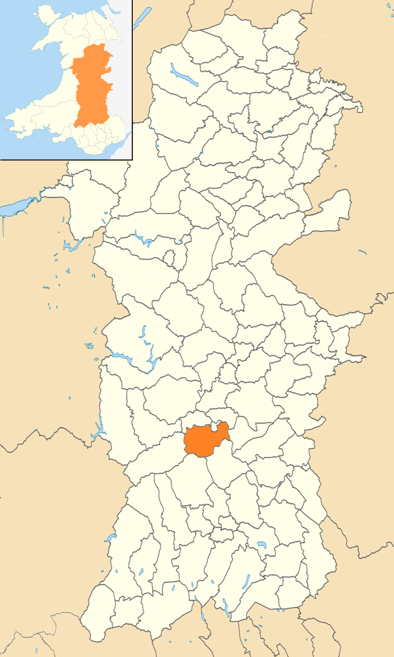
Duhonw
Duhonw is a rural community in Powys, Wales, to the south of Builth Wells (Welsh: Llanfair ym Muallt), in the historic county of Breconshire. Covering...

Allt Cynhelyg
Allt Cynhelyg is a semi-natural oak-hazel woodland forming a Site of Special Scientific Interest in Brecknock, Powys, Wales. It has a notable natural population...
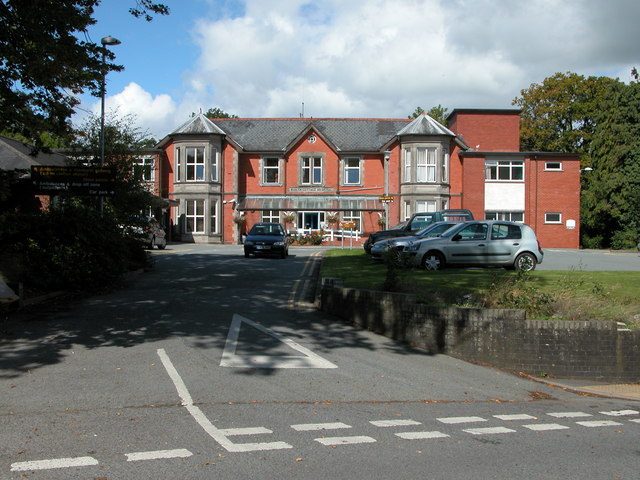
Builth Wells Hospital
Builth Wells Hospital (Welsh: Ysbyty Llanfair ym Muallt) was a heath facility in Bronllys, Wales. It was managed by Powys Teaching Health Board. ��2�...

Builth Wells
Builth Wells (; Welsh: Llanfair-ym-Muallt ) is a market town and community in the county of Powys and historic county of Brecknockshire (Breconshire),...
Have you been to Allt Cynhelyg?
Leave your review of Allt Cynhelyg below (or comments, questions and feedback).