Butlocks Heath
Settlement in Hampshire Eastleigh
England
Butlocks Heath

Butlocks Heath is a small village located in the county of Hampshire, England. Situated approximately 5 miles southeast of the city of Southampton, it falls within the borough of Eastleigh. The village is nestled between the larger residential areas of Hedge End and West End.
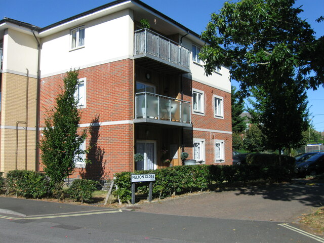
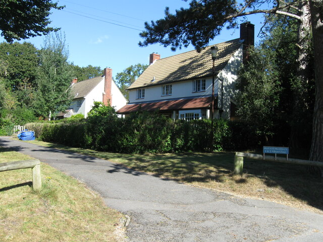
With a population of around 2,000 residents, Butlocks Heath maintains a peaceful and suburban atmosphere. The village is primarily made up of residential properties, ranging from quaint cottages to modern houses. The area is known for its well-maintained gardens and green spaces, contributing to its picturesque appeal.
Although Butlocks Heath does not have its own primary school or shops, it benefits from close proximity to neighboring communities that provide these amenities. Additionally, the village is served by reliable public transportation links, including regular bus services, which connect residents to nearby towns and cities.
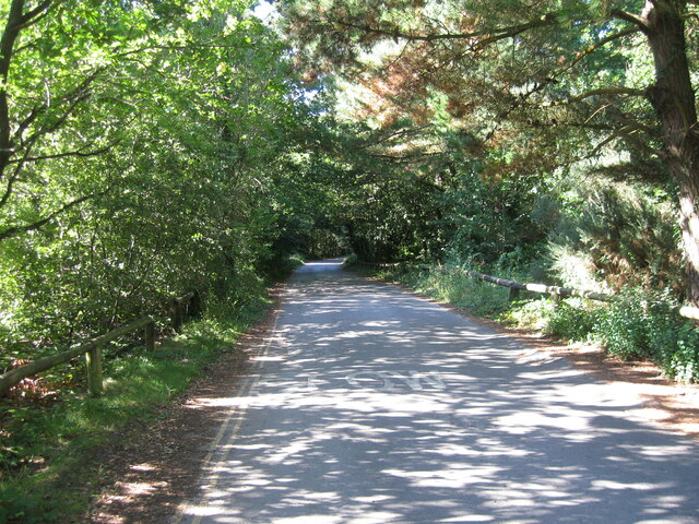
The surrounding area offers a range of recreational activities, including access to beautiful countryside for walking and cycling enthusiasts. Butlocks Heath is also conveniently located near the popular Itchen Valley Country Park, which provides opportunities for outdoor pursuits such as fishing, birdwatching, and picnicking.
Overall, Butlocks Heath offers a peaceful and family-friendly environment, with easy access to nearby amenities and natural beauty. Its close proximity to Southampton and other urban centers makes it an ideal location for those seeking a balance between rural and urban living.
If you have any feedback on the listing, please let us know in the comments section below.
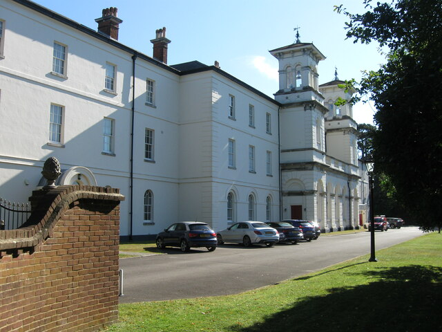
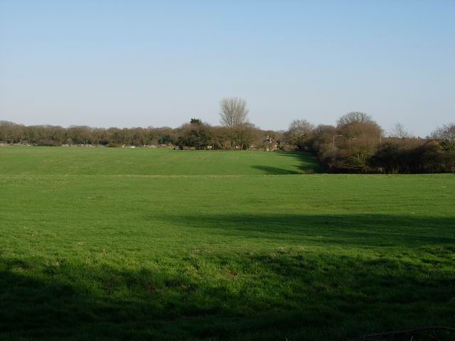
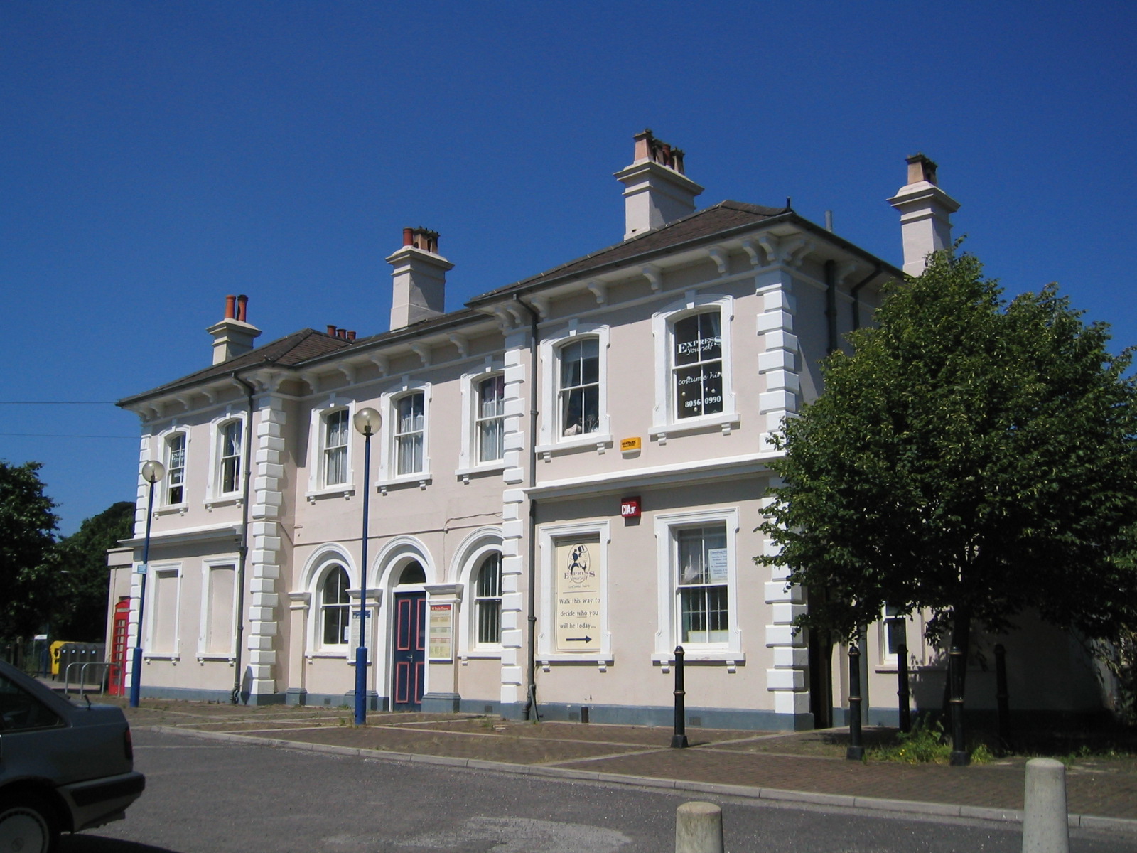
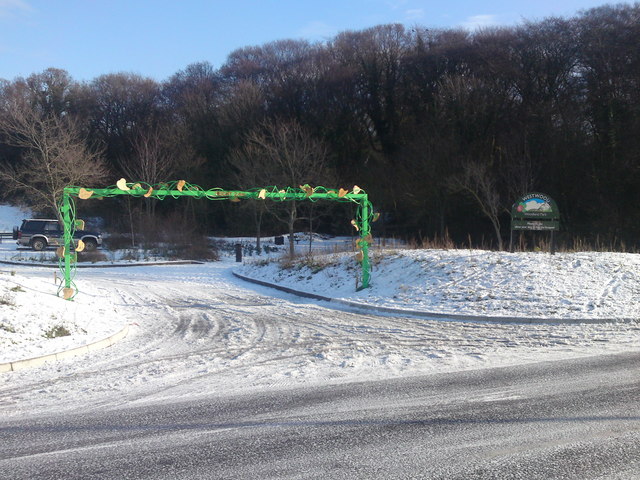
Butlocks Heath Images
Images are sourced within 2km of 50.880021/-1.343117 or Grid Reference SU4609. Thanks to Geograph Open Source API. All images are credited.


Butlocks Heath is located at Grid Ref: SU4609 (Lat: 50.880021, Lng: -1.343117)
Administrative County: Hampshire
District: Eastleigh
Police Authority: Hampshire
What 3 Words
///scared.organ.crass. Near Netley, Hampshire
Nearby Locations
Related Wikis
Butlocks Heath
Butlocks Heath is a village in the district of Eastleigh in Hampshire, England. The village lies approximately 3.4 miles (5.4 km) south-east from Southampton...
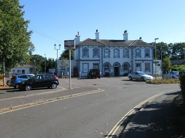
Netley railway station
Netley railway station is located near the village of Netley in Hampshire, England. The station is run by South Western Railway and is on the West Coastway...
Netley
Netley, officially referred to as Netley Abbey, is a village on the south coast of Hampshire, England. It is situated to the south-east of the city of...
Westwood Woodland Park
Westwood Woodland Park is a 49.5-hectare (122-acre) Local Nature Reserve in Southampton in Hampshire. It is owned by Hampshire County Council and managed...

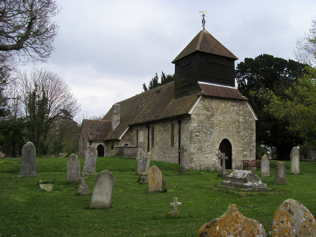
Netley Abbey
Netley Abbey is a ruined late medieval monastery in the village of Netley near Southampton in Hampshire, England. The abbey was founded in 1239 as a house...
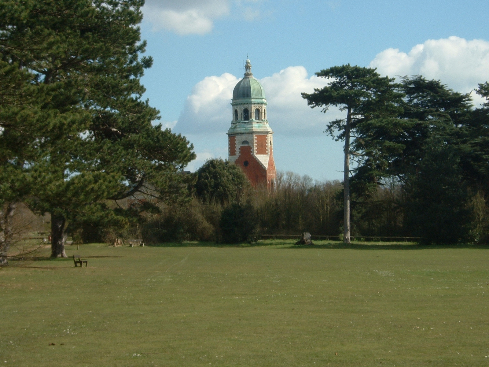
Royal Victoria Country Park
The Royal Victoria Country Park is a country park in Netley, Hampshire, England, by the shores of Southampton Water. It comprises 200 acres (81 ha) of...
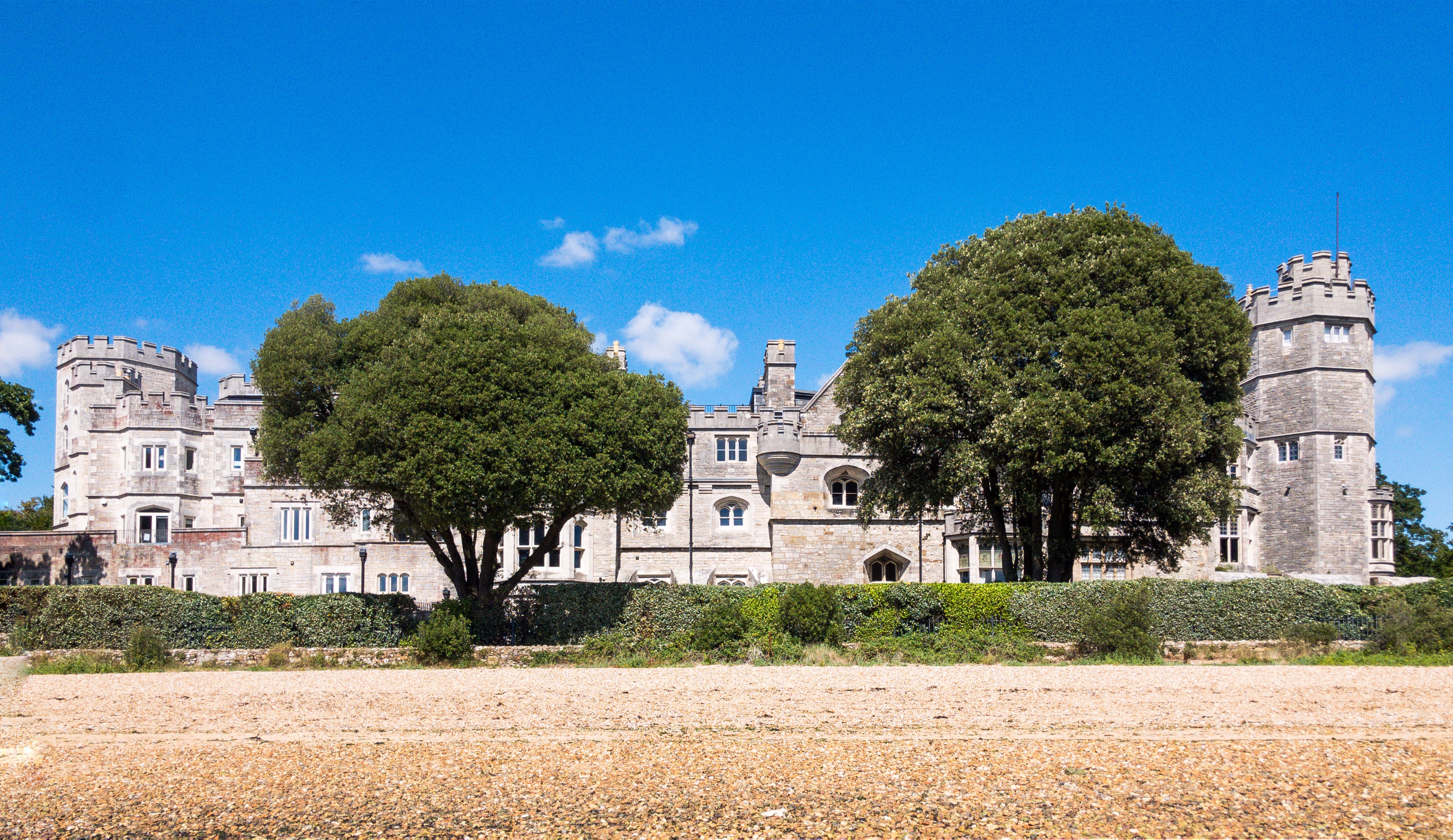
Netley Castle
Netley Castle is a former artillery fort constructed in either 1542 or 1544 by Henry VIII in the village of Netley, Hampshire. It formed part of the King...
Hound, Hampshire
Hound is a village and civil parish in the borough of Eastleigh in southern Hampshire, England. The parish encompasses the villages of Netley, Butlocks...
Nearby Amenities
Located within 500m of 50.880021,-1.343117Have you been to Butlocks Heath?
Leave your review of Butlocks Heath below (or comments, questions and feedback).